Triangle Wood
Wood, Forest in Cumberland Eden
England
Triangle Wood

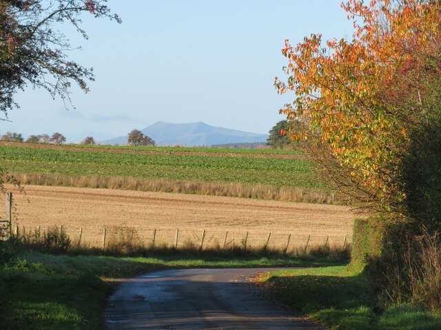
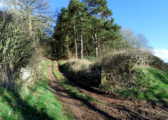
Triangle Wood is a pristine forest located in the district of Cumberland in England. Covering an area of approximately 100 hectares, it is a significant natural resource in the region. The wood is situated on a triangular piece of land bordered by three major roads, hence its name.
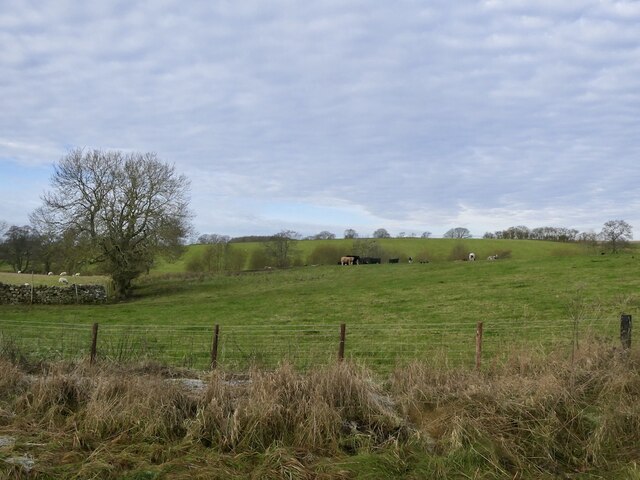
The woodland is predominantly made up of native broadleaf trees, including oak, ash, beech, and birch. These trees provide a rich habitat for a diverse range of wildlife, including various bird species, mammals, and insects. The forest floor is carpeted with a lush understory of ferns, wildflowers, and mosses, adding to the beauty and ecological importance of the area.
Triangle Wood is managed by the Cumberland Forest Commission, which ensures its preservation and sustainable use. The commission employs a team of skilled foresters who carry out regular maintenance and conservation activities. These include selective tree felling to promote the growth of younger trees, coppicing to encourage new shoots, and creating wildlife corridors to enhance biodiversity.
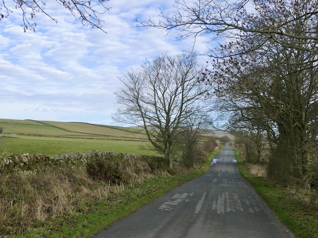
The wood is a popular recreational spot for local residents and visitors alike. It offers numerous walking trails, allowing visitors to immerse themselves in the peaceful ambiance of the forest and admire its natural beauty. Additionally, designated picnic areas and benches are scattered throughout the wood, providing the perfect opportunity for visitors to relax and enjoy a picnic amidst the tranquil surroundings.
Overall, Triangle Wood in Cumberland is a cherished natural gem, contributing to the local ecosystem, providing a haven for wildlife, and offering a serene escape for nature enthusiasts and outdoor lovers.
If you have any feedback on the listing, please let us know in the comments section below.
Triangle Wood Images
Images are sourced within 2km of 54.761183/-2.6683202 or Grid Reference NY5740. Thanks to Geograph Open Source API. All images are credited.


Triangle Wood is located at Grid Ref: NY5740 (Lat: 54.761183, Lng: -2.6683202)
Administrative County: Cumbria
District: Eden
Police Authority: Cumbria
What 3 Words
///overheard.luxury.fall. Near Penrith, Cumbria
Nearby Locations
Related Wikis

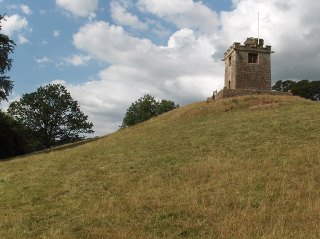
Kirkoswald Castle
Kirkoswald Castle is located to the southeast of the village of Kirkoswald, Cumbria, England. It is built from Penrith red sandstone and is still partially...
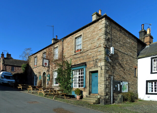
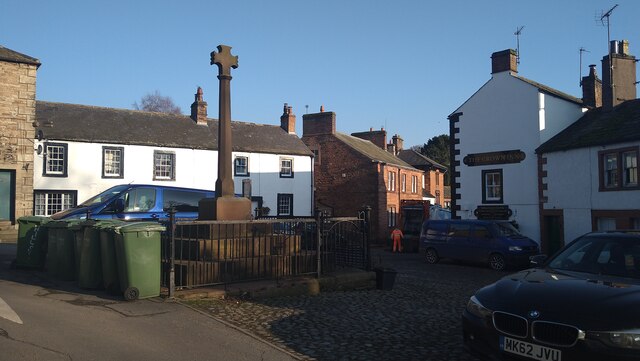
Kirkoswald, Cumbria
Kirkoswald is a village, civil parish, and former market town located in Westmorland and Furness, England, about 9 miles (14 km) from Penrith. The village...

Lazonby & Kirkoswald railway station
Lazonby & Kirkoswald is a railway station on the Settle and Carlisle Line, which runs between Carlisle and Leeds via Settle. The station, which is situated...
Lazonby
Lazonby is a village and civil parish in the Lower Eden Valley of Cumbria; it is located about 8 miles (13 km) north-north-east of Penrith and 24 miles...

Lacy's Caves
Lacy's Caves are a series of five chambers in the red sandstone cliff of the River Eden, just north of Little Salkeld, Cumbria, England, near Nunnery,...

Long Meg Mine
Long Meg Mine is a disused gypsum mine just north of Little Salkeld, Cumbria in the area known as Cave Wood Valley. It was operated between 1880 and 1976...

Glassonby
Glassonby is a small village and civil parish in the Eden Valley of Cumbria, England, about 3 miles (4.8 km) south south east of Kirkoswald. At the 2001...

Staffield
Staffield is a hamlet and former civil parish 12 miles (19 km) from Carlisle, now in the parish of Kirkoswald, in the Eden district, in the county of Cumbria...
Nearby Amenities
Located within 500m of 54.761183,-2.6683202Have you been to Triangle Wood?
Leave your review of Triangle Wood below (or comments, questions and feedback).