Big Wood
Wood, Forest in Cumberland Eden
England
Big Wood
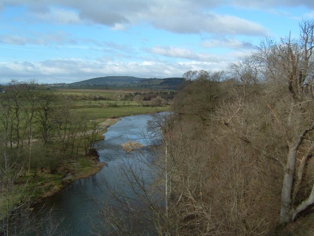
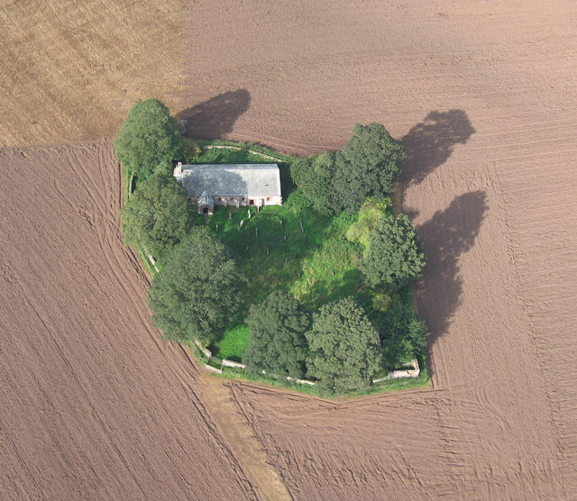
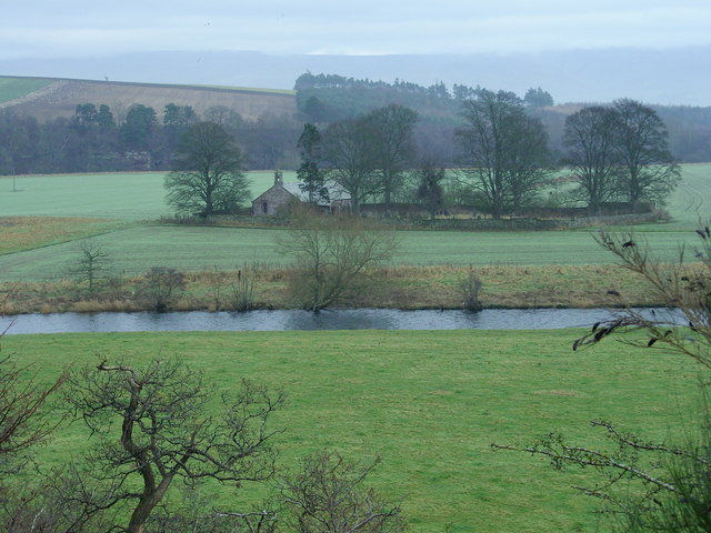
Big Wood, Cumberland is a sprawling forest located in the county of Cumberland, England. Covering an area of approximately 2,500 acres, it is known for its dense woodlands and diverse ecosystem. The forest is situated in the northwestern part of the county, near the village of Big Wood.
The woodland consists mainly of broadleaf trees such as oak, beech, and ash, which provide a rich habitat for a variety of wildlife. It is home to numerous species of birds, including woodpeckers, owls, and various songbirds, which can be heard chirping and fluttering among the branches. Small mammals like squirrels, rabbits, and hedgehogs can also be spotted scurrying through the undergrowth.
Big Wood offers a peaceful retreat for nature lovers and outdoor enthusiasts. It features several well-maintained walking trails that wind through the forest, allowing visitors to immerse themselves in the serene surroundings. These paths are often frequented by hikers, joggers, and dog walkers, seeking to enjoy the fresh air and natural beauty.
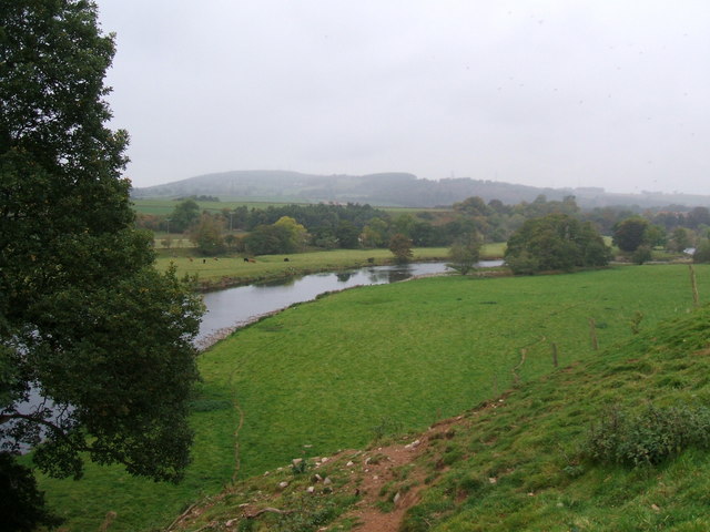
In addition to its recreational value, Big Wood also serves as an important ecological resource. The forest helps purify the air by absorbing carbon dioxide and releasing oxygen, contributing to the overall health of the environment. It also acts as a natural flood barrier, absorbing excess rainwater and preventing downstream flooding in the surrounding areas.
Overall, Big Wood, Cumberland is a cherished natural asset, offering both tranquility and environmental benefits. Its lush woodlands, diverse wildlife, and well-maintained trails make it an ideal destination for those seeking solace in nature.
If you have any feedback on the listing, please let us know in the comments section below.
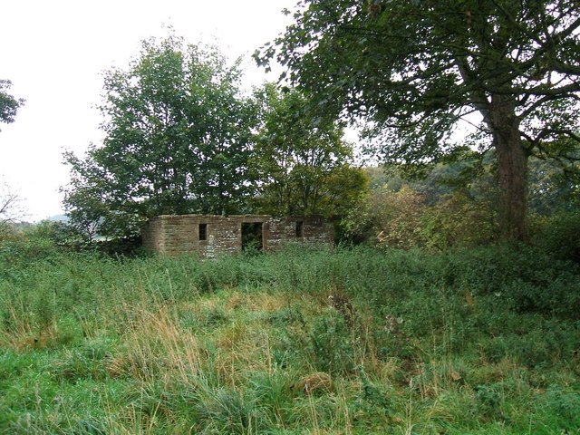
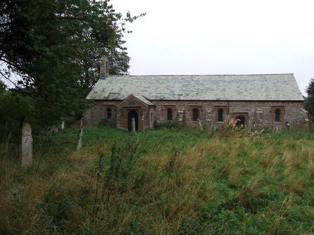
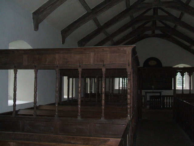
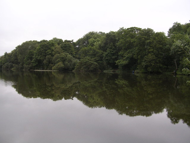
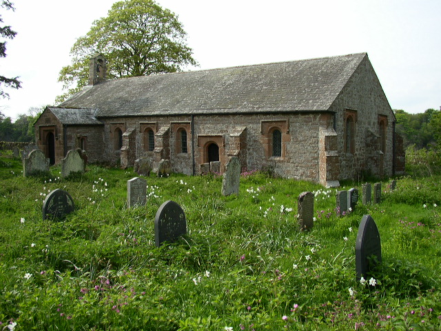
Big Wood Images
Images are sourced within 2km of 54.6721/-2.6694611 or Grid Reference NY5630. Thanks to Geograph Open Source API. All images are credited.


Big Wood is located at Grid Ref: NY5630 (Lat: 54.6721, Lng: -2.6694611)
Administrative County: Cumbria
District: Eden
Police Authority: Cumbria
What 3 Words
///mutual.snitch.everybody. Near Penrith, Cumbria
Nearby Locations
Related Wikis

St Cuthbert's Church, Edenhall
St Cuthbert's Church is located near the village of Edenhall, Cumbria, England. It is an active Anglican parish church in the deanery of Penrith, the...
Ninekirks
Ninekirks is the local name for St Ninian's church, Brougham, Cumbria. Dedicated to Saint Ninian, it was formerly the Anglican parish church for Brougham...
Edenhall
Edenhall is a clustered village and former civil parish, now in the south-west of the parish of Langwathby, 800m to the north in the Westmorland and Furness...

RAF Hornby Hall
RAF Hornby Hall was a Royal Air Force satellite landing ground located near Brougham, 4 miles (6.4 km) east of Penrith, Cumbria and 8.8 miles (14.2 km...

Langwathby railway station
Langwathby is a railway station on the Settle and Carlisle Line, which runs between Carlisle and Leeds via Settle. The station, situated 19 miles 59 chains...

Langwathby
Langwathby is a village and civil parish in northern Cumbria, and in the historic English county of Cumberland, about 5 miles (8 km) north east of Penrith...
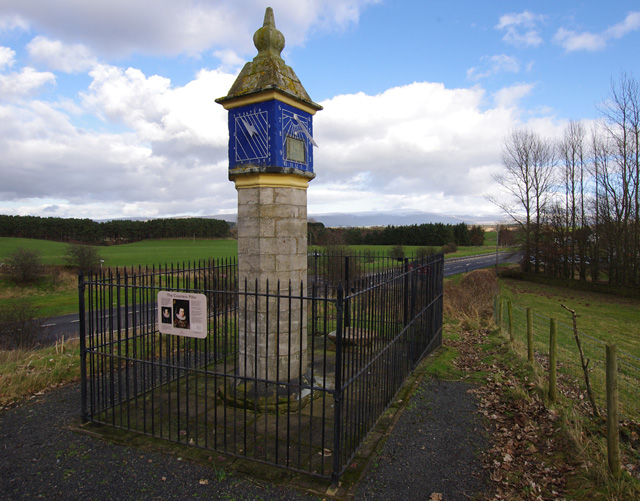
Countess Pillar
The Countess Pillar is a 17th-century monument near Brougham, Cumbria, England, between Penrith and Appleby. It is two miles east of Penrith on the A66...
Penrith A.F.C.
Penrith Association Football Club is a football club based in Penrith, Cumbria, England. They play in the Northern Football League Division One and their...
Nearby Amenities
Located within 500m of 54.6721,-2.6694611Have you been to Big Wood?
Leave your review of Big Wood below (or comments, questions and feedback).