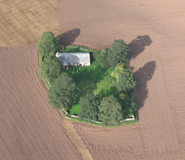
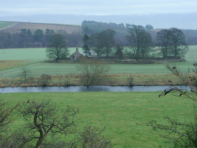
Cave Plantation
Wood, Forest in Cumberland Eden
England
Cave Plantation
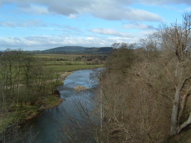
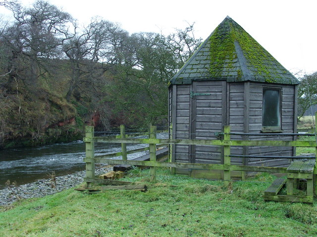
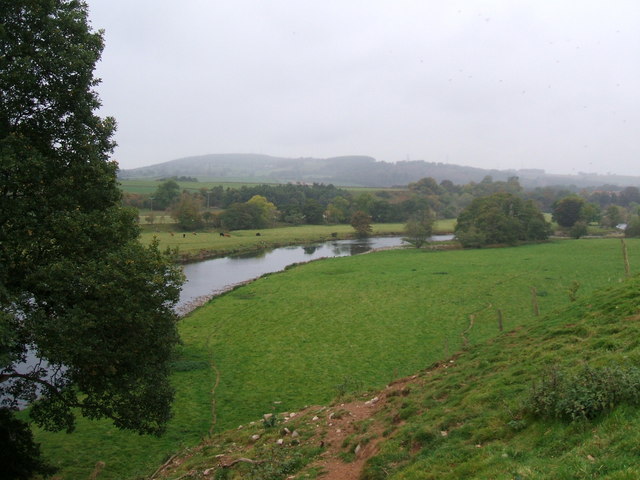
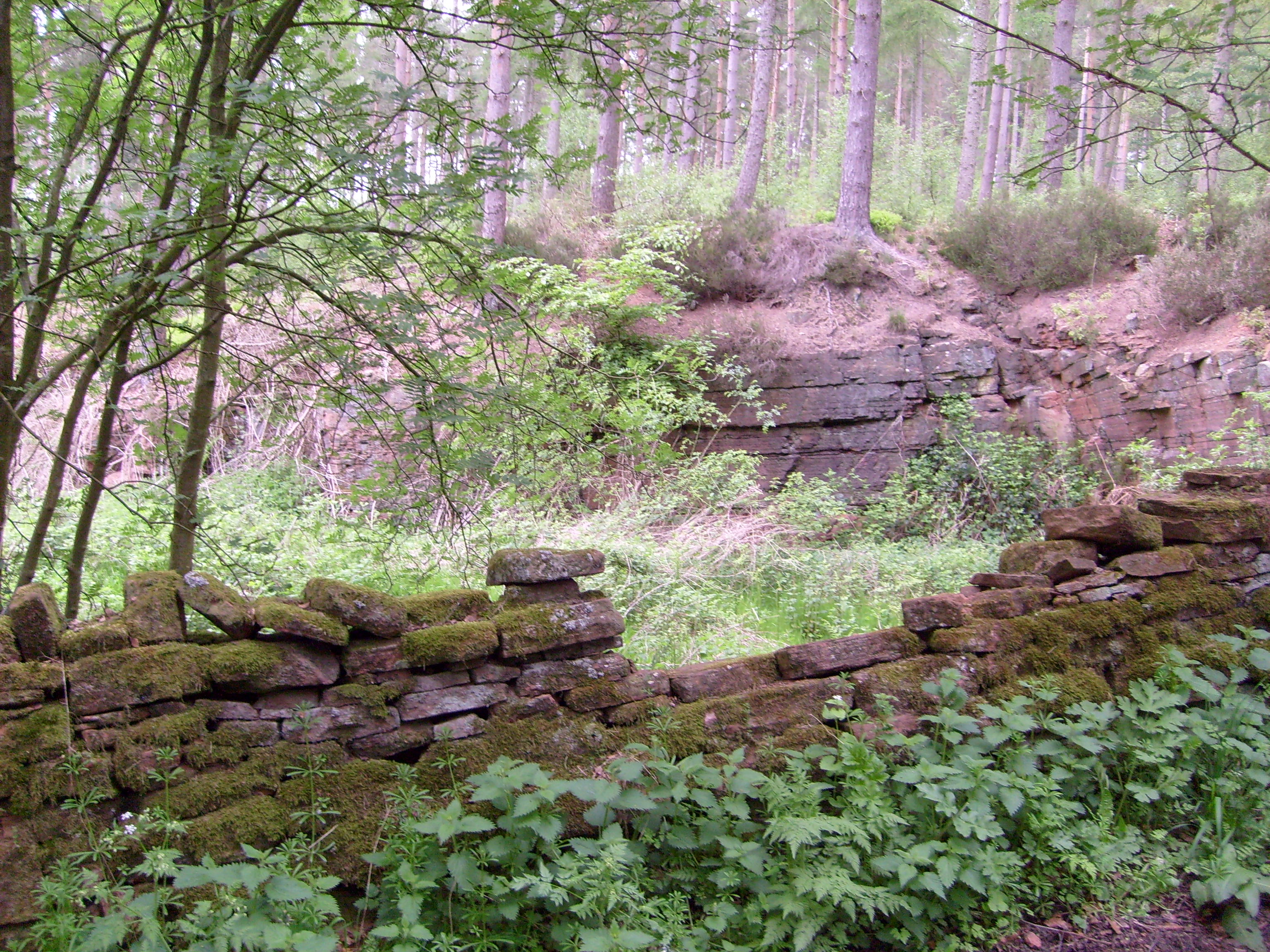
Cave Plantation, located in Cumberland, is a mesmerizing woodland forest that captivates visitors with its natural beauty and historical significance. Spread across a vast area, this forested land boasts an impressive variety of wood and plant species, making it a haven for nature enthusiasts and researchers alike.
The plantation gets its name from the presence of numerous caves scattered throughout the forest. These caves have been formed over centuries due to erosion, giving the area a unique charm and attracting explorers and cave enthusiasts. The caves offer a glimpse into the geological history of the region and serve as a habitat for various animals and insects.
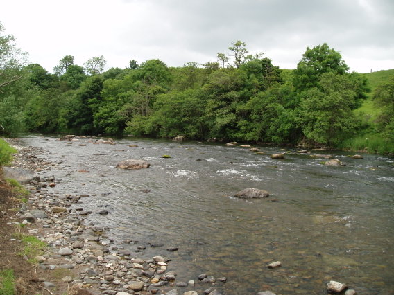
The woodland is predominantly covered with tall trees, including oak, pine, and maple, creating a dense canopy that filters sunlight and provides a cool and serene environment. The forest floor is adorned with an array of wildflowers and ferns, adding splashes of color to the lush greenery.
Cave Plantation has not only natural but also historical significance. It is believed to have been inhabited by Native American tribes, who left behind artifacts and evidence of their presence. The site has also been used for various purposes throughout history, including timber harvesting and agriculture.
The forest is open to the public, allowing visitors to explore the trails and immerse themselves in the tranquility of nature. Hiking, bird watching, and photography are popular activities in Cave Plantation, offering a rewarding experience for those seeking solace in the beauty of the outdoors. Overall, Cave Plantation in Cumberland stands as a testament to the rich biodiversity and cultural heritage of the region.
If you have any feedback on the listing, please let us know in the comments section below.
Cave Plantation Images
Images are sourced within 2km of 54.665432/-2.6758785 or Grid Reference NY5630. Thanks to Geograph Open Source API. All images are credited.


Cave Plantation is located at Grid Ref: NY5630 (Lat: 54.665432, Lng: -2.6758785)
Administrative County: Cumbria
District: Eden
Police Authority: Cumbria
What 3 Words
///pizzas.chips.overtones. Near Penrith, Cumbria
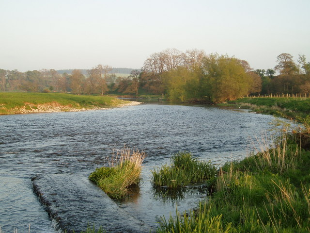
Nearby Locations
Related Wikis
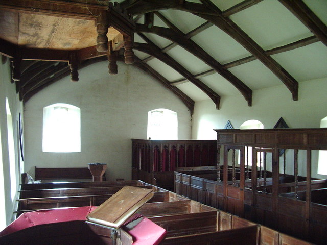
Ninekirks
Ninekirks is the local name for St Ninian's church, Brougham, Cumbria. Dedicated to Saint Ninian, it was formerly the Anglican parish church for Brougham...

RAF Hornby Hall
RAF Hornby Hall was a Royal Air Force satellite landing ground located near Brougham, 4 miles (6.4 km) east of Penrith, Cumbria and 8.8 miles (14.2 km...

St Cuthbert's Church, Edenhall
St Cuthbert's Church is located near the village of Edenhall, Cumbria, England. It is an active Anglican parish church in the deanery of Penrith, the...
Edenhall
Edenhall is a clustered village and former civil parish, now in the south-west of the parish of Langwathby, 800m to the north in the Westmorland and Furness...
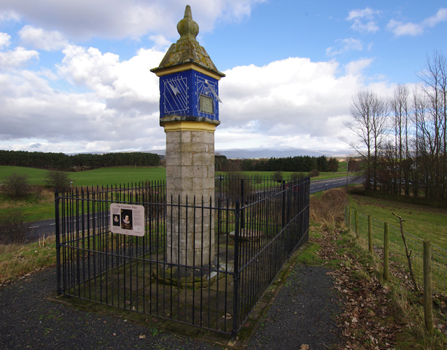
Countess Pillar
The Countess Pillar is a 17th-century monument near Brougham, Cumbria, England, between Penrith and Appleby. It is two miles east of Penrith on the A66...
Penrith A.F.C.
Penrith Association Football Club is a football club based in Penrith, Cumbria, England. They play in the Northern Football League Division One and their...
Whinfell Forest
Whinfell Forest is a small area of woodland in the parish of Brougham, Cumbria, south east of Penrith in Cumbria and just off the A66 road leading to Appleby...

Brocavum
Brocavum is the Latin name of a Roman fort at Brougham near Penrith, Cumbria. The fort survives as earthworks, but no excavation of these has been carried...
Nearby Amenities
Located within 500m of 54.665432,-2.6758785Have you been to Cave Plantation?
Leave your review of Cave Plantation below (or comments, questions and feedback).