Carters Strip
Wood, Forest in Cumberland Eden
England
Carters Strip
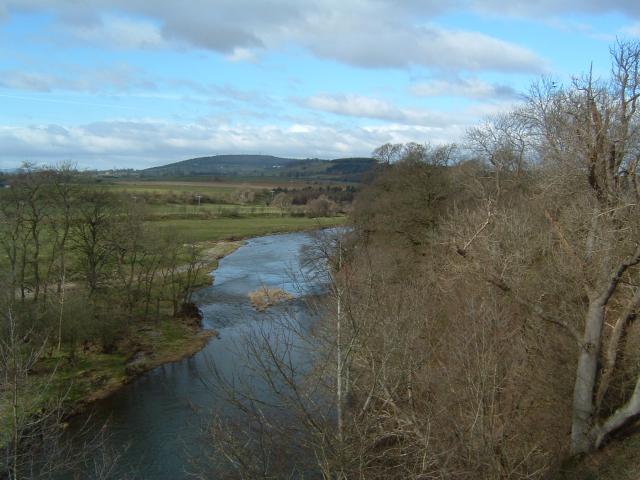
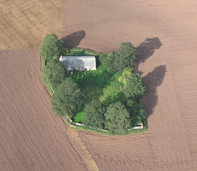
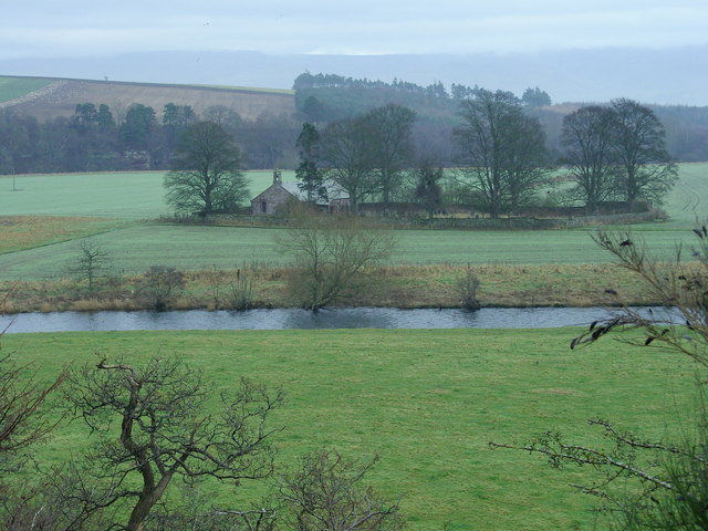
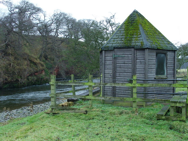
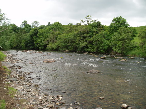
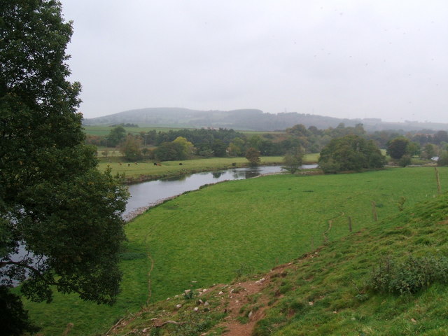
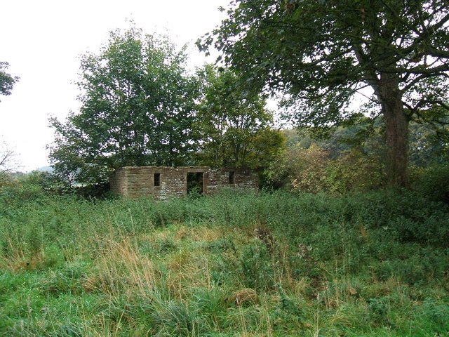
Carter's Strip, located in Cumberland (Wood, Forest), is a picturesque and serene area known for its natural beauty and abundant wildlife. Situated in the heart of Cumberland County, this strip of land stretches for several miles and is surrounded by dense forests, making it a haven for nature enthusiasts and outdoor adventurers.
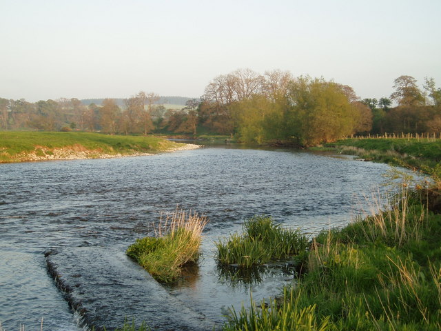
The strip is characterized by its rolling hills and gently flowing streams, which add to its tranquil ambiance. The area is predominantly covered in lush woodlands, composed of a variety of tree species such as oak, pine, and maple, creating a diverse and vibrant ecosystem. The forested areas provide ample opportunities for hiking, birdwatching, and exploring the local flora and fauna.
Wildlife thrives in Carter's Strip, with sightings of deer, squirrels, rabbits, and various bird species being quite common. The area is also home to several rare and endangered species, such as the Cumberland salamander and the Indiana bat, adding to its ecological significance.
Visitors to Carter's Strip can enjoy a range of recreational activities. There are designated trails for hiking and biking, as well as picnic areas and campsites for those looking to spend a night under the stars. Fishing enthusiasts are drawn to the strip's streams, which are known for their abundance of trout and bass.
Overall, Carter's Strip in Cumberland (Wood, Forest) offers a peaceful retreat into nature, where visitors can immerse themselves in the beauty of the surrounding woodlands and experience the abundance of wildlife that calls this area home.
If you have any feedback on the listing, please let us know in the comments section below.
Carters Strip Images
Images are sourced within 2km of 54.667775/-2.6810805 or Grid Reference NY5630. Thanks to Geograph Open Source API. All images are credited.


Carters Strip is located at Grid Ref: NY5630 (Lat: 54.667775, Lng: -2.6810805)
Administrative County: Cumbria
District: Eden
Police Authority: Cumbria
What 3 Words
///circular.tags.cluttered. Near Penrith, Cumbria
Nearby Locations
Related Wikis
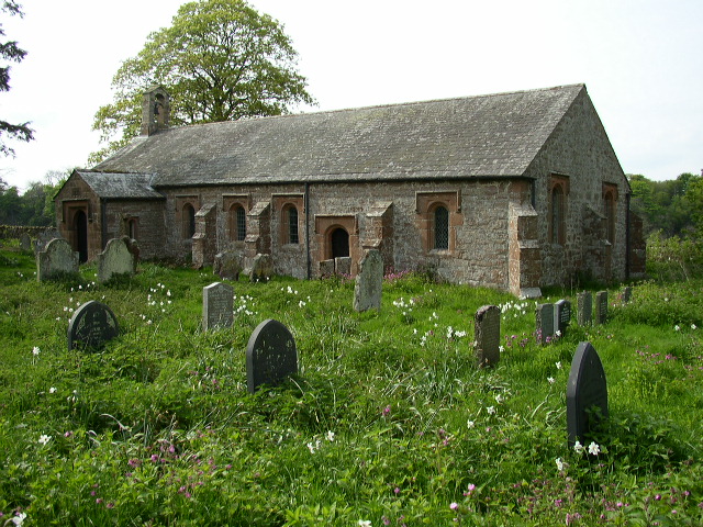
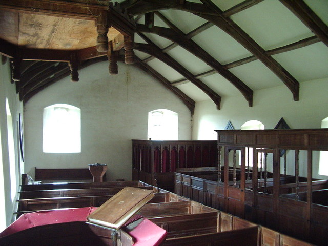
Ninekirks
Ninekirks is the local name for St Ninian's church, Brougham, Cumbria. Dedicated to Saint Ninian, it was formerly the Anglican parish church for Brougham...

RAF Hornby Hall
RAF Hornby Hall was a Royal Air Force satellite landing ground located near Brougham, 4 miles (6.4 km) east of Penrith, Cumbria and 8.8 miles (14.2 km...

St Cuthbert's Church, Edenhall
St Cuthbert's Church is located near the village of Edenhall, Cumbria, England. It is an active Anglican parish church in the deanery of Penrith, the...
Edenhall
Edenhall is a clustered village and former civil parish, now in the south-west of the parish of Langwathby, 800m to the north in the Westmorland and Furness...
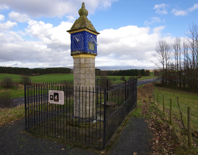
Countess Pillar
The Countess Pillar is a 17th-century monument near Brougham, Cumbria, England, between Penrith and Appleby. It is two miles east of Penrith on the A66...
Penrith A.F.C.
Penrith Association Football Club is a football club based in Penrith, Cumbria, England. They play in the Northern Football League Division One and their...

Brocavum
Brocavum is the Latin name of a Roman fort at Brougham near Penrith, Cumbria. The fort survives as earthworks, but no excavation of these has been carried...

Brougham Castle
Brougham Castle (pronounced ) is a medieval building about 2 miles (3.2 km) south-east of Penrith, Cumbria, England. The castle was founded by Robert I...
Nearby Amenities
Located within 500m of 54.667775,-2.6810805Have you been to Carters Strip?
Leave your review of Carters Strip below (or comments, questions and feedback).