Colonel's Copse

Wood, Forest in Gloucestershire Forest of Dean

England

Colonel's Copse

Flush Bracket on Trig Pillar
Flush Bracket on Trig Pillar Credit: Clive Perrin

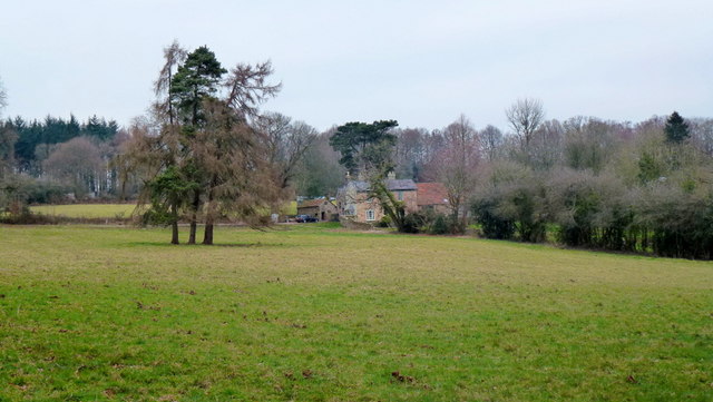
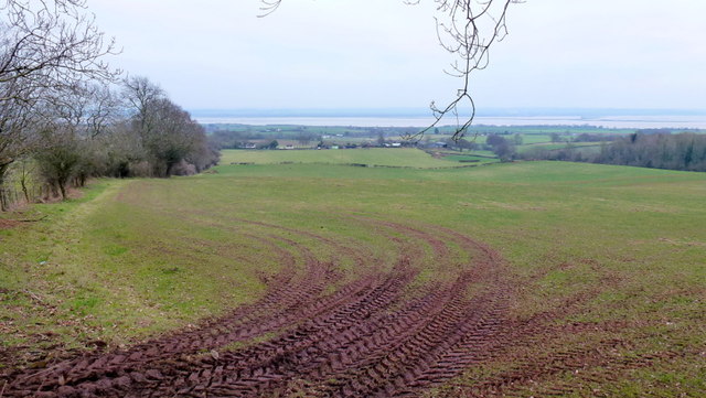
Colonel's Copse is a picturesque woodland located in Gloucestershire, England. Spread over an area of approximately 50 hectares, it is renowned for its natural beauty and diverse flora and fauna. The copse is situated within the larger Forest of Dean, a historic woodland that has been protected for centuries.

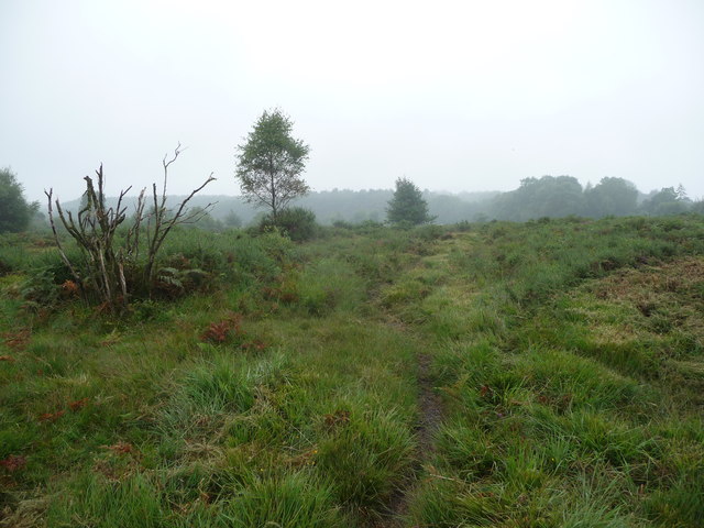
The woodland is predominantly made up of a mix of deciduous and coniferous trees, creating a dense and enchanting forest. Visitors to Colonel's Copse can expect to see a variety of tree species, including oak, beech, ash, and pine. These trees provide a rich habitat for numerous wildlife species, making it a haven for nature enthusiasts.

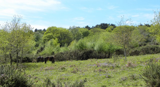
Among the wildlife that can be spotted in Colonel's Copse are deer, foxes, badgers, and a wide range of bird species. The copse is particularly known for its birdwatching opportunities, with sightings of woodpeckers, owls, and various songbirds being common.

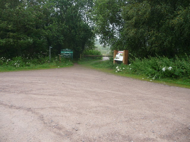
The woodland offers numerous walking trails and paths, allowing visitors to explore its beauty at their own pace. The sounds of rustling leaves, trickling streams, and birdsong create a peaceful and serene atmosphere, making it an ideal spot for relaxation and contemplation.

Colonel's Copse is also steeped in history, with remnants of ancient settlements, charcoal pits, and mining activities found within its boundaries. These historical features add to the charm and intrigue of the woodland, making it a fascinating destination for history buffs and nature lovers alike.

Overall, Colonel's Copse in Gloucestershire is a captivating woodland that offers a perfect blend of natural beauty, wildlife, and history. Whether it's a leisurely walk, birdwatching, or simply enjoying the tranquility of nature, this woodland provides a memorable experience for all who visit.

If you have any feedback on the listing, please let us know in the comments section below.

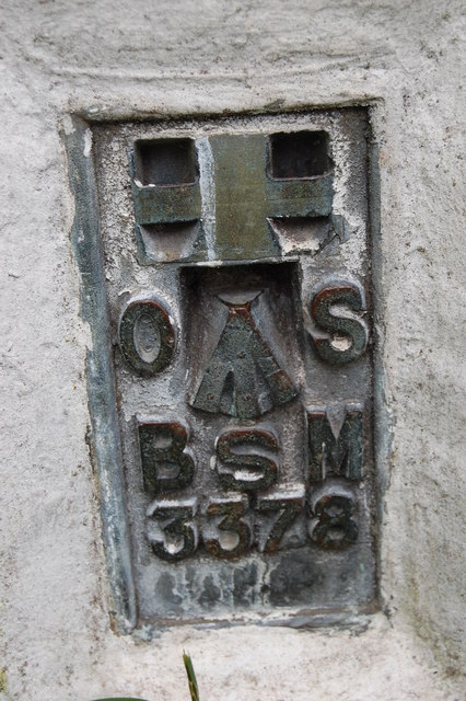
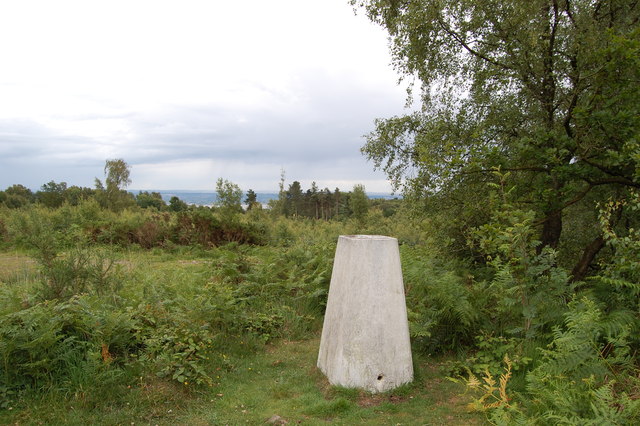
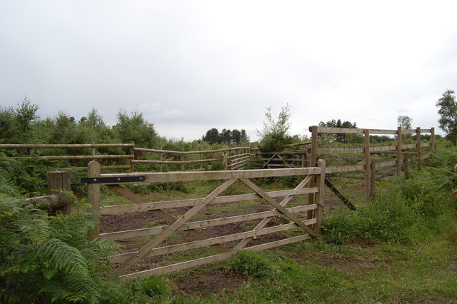
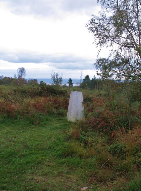
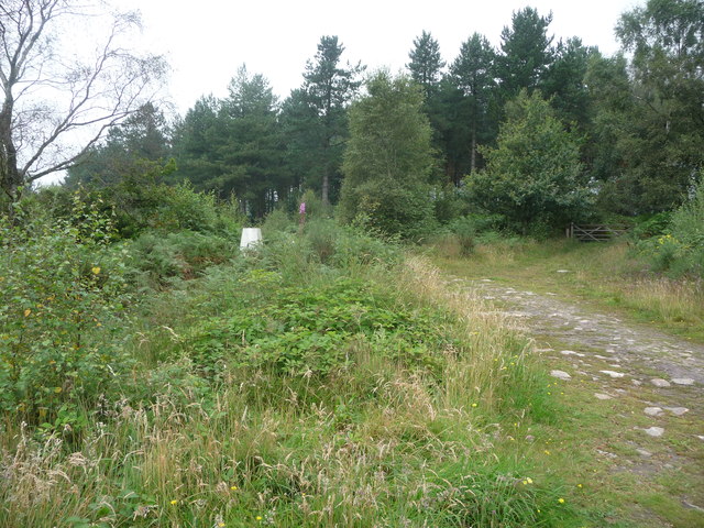
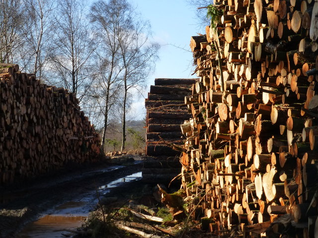
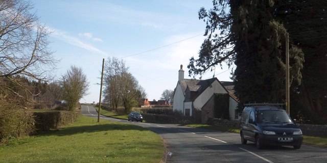
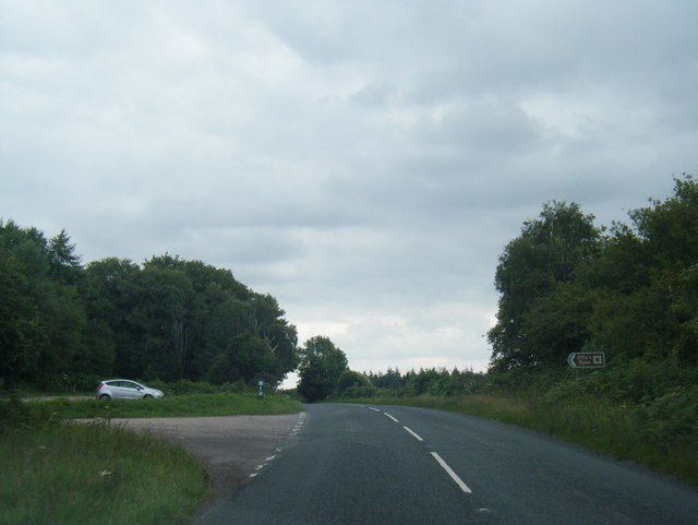
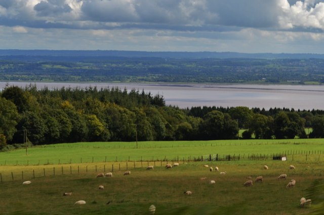
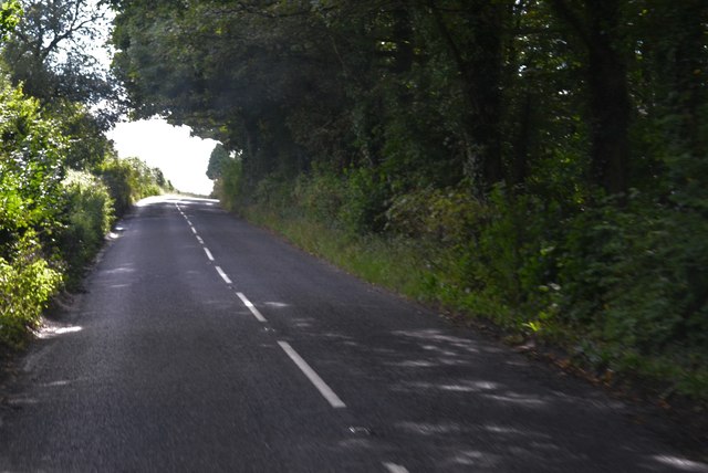
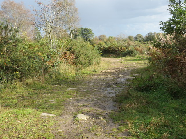
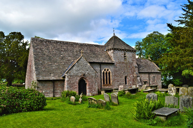
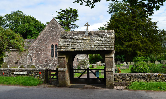
Colonel's Copse Images

Images are sourced within 2km of 51.703417/-2.6258115 or Grid Reference SO5600. Thanks to Geograph Open Source API. All images are credited.

Flush Bracket on Trig Pillar
Trig Pillar Tidenham Park
Animal Pound Tidenham  Park
Animal Pound Tidenham Park
Trig Point 217m Now largely surrounded by small trees and scrub, this OS trig point was probably erected when the view around was clear. The Severn estuary can be glimpsed in the distance.
Trig Point 217m
Now largely surrounded by small trees and scrub, this OS trig point was probably erected when the view around was clear. The Severn estuary can be glimpsed in the distance.
House at Park Hill View across pasture land with the backdrop of Burnt Plantation.
House at Park Hill
View across pasture land with the backdrop of Burnt Plantation.
Pastoral scene to the mighty Severn View from Park Hill Road over High Woolaston.
Pastoral scene to the mighty Severn
View from Park Hill Road over High Woolaston.
Part of the Forestry Commission car park at The Park near Tidenham Chase Information boards and waymarked paths abound. Nice starting point for several walks locally.
Part of the Forestry Commission car park at The Park near Tidenham Chase
Information boards and waymarked paths abound. Nice starting point for several walks locally.
Heathland path near Poor's Allotment Heath and scrubland on a slightly dismal summer morning.
Heathland path near Poor's Allotment
Heath and scrubland on a slightly dismal summer morning.
Old trig point in The Park Partly obscured by the scrub.
Old trig point in The Park
Partly obscured by the scrub.
Track through The Park from car park on B4228 See <a href="https://www.geograph.org.uk/photo/3321031">ST5599 : Footpath across The Park - and you'd be in for a muddy trek!</a> for the other end of this track/path.  Much restoration work is under way to return this area to heathland - hence the woodpiles!
Track through The Park from car park on B4228
See ST5599 : Footpath across The Park - and you'd be in for a muddy trek! for the other end of this track/path. Much restoration work is under way to return this area to heathland - hence the woodpiles!
Chase House by the B4228
Ponies in Poor's Allotment Wild ponies are now permitted to graze in this area of mixed woodland and grassland.
Ponies in Poor's Allotment
Wild ponies are now permitted to graze in this area of mixed woodland and grassland.
B4228 at The Park car park
Fields Near Beacons Ash Overlooking the River Severn
Fields Near Beacons Ash
Overlooking the River Severn
Leafy Tunnel Through Oakhill Wood On the B road to Chepstow
Leafy Tunnel Through Oakhill Wood
On the B road to Chepstow
Track junction in The Park, Tidenham Looking south-eastward from the triangulation pillar.
Track junction in The Park, Tidenham
Looking south-eastward from the triangulation pillar.
St Mary Magdalene, Hewelsfield Set in a circular churchyard containing some venerable yews, one of which was 350 years old at the Conquest, St Mary Magdalene dates from the late 12th century in its present form. It was restored by William Butterfield 1863-7, who showed considerable restraint and sensitivity. All of the main roofs and furnishings are by him and the whole place is a delight for admirers of his work.
St Mary Magdalene, Hewelsfield
Set in a circular churchyard containing some venerable yews, one of which was 350 years old at the Conquest, St Mary Magdalene dates from the late 12th century in its present form. It was restored by William Butterfield 1863-7, who showed considerable restraint and sensitivity. All of the main roofs and furnishings are by him and the whole place is a delight for admirers of his work.
St Mary Magdalene, Hewelsfield The lychgate is the work of William Butterfield, who restored the church between 1863 and 1867.
St Mary Magdalene, Hewelsfield
The lychgate is the work of William Butterfield, who restored the church between 1863 and 1867.
Show me another place!

Colonel's Copse is located at Grid Ref: SO5600 (Lat: 51.703417, Lng: -2.6258115)

Administrative County: Gloucestershire

District: Forest of Dean

Police Authority: Gloucestershire

What 3 Words

///central.mankind.sunflower. Near Tintern, Monmouthshire

Related Wikis

East Wood, Tidenham

East Wood (grid reference SO561001) (west site) and (grid reference SO563001) (east site) is a 0.82-hectare (2.0-acre) nature reserve in Gloucestershire...

Hewelsfield Motte

The Hewelsfield Motte is a roughly circular mound, in Hewelsfield, Gloucestershire, England. It is thought to be a castle motte dating from the period...

Hewelsfield

Hewelsfield is a village in Hewelsfield and Brockweir civil parish, in the Forest of Dean district of Gloucestershire, England. The village is located...

Hewelsfield and Brockweir

Hewelsfield and Brockweir is a civil parish in Forest of Dean District, Gloucestershire. The parish was called Hewelsfield until 1994. It contains two...

Nearby Amenities

Located within 500m of 51.703417,-2.6258115
Little Meend
Is In: Gloucestershire, England, UK
Place: hamlet
Source: NPE
Lat/Long: 51.703353/-2.6273771
Bus Stop
Oakhill Pitch
Naptan AtcoCode: 1600GLF747
Naptan Bearing: S
Naptan CommonName: Oakhill Pitch
Naptan NaptanCode: gloadjwj
Naptan Street: B4228
Naptan Verified: no
Source: naptan_import
Lat/Long: 51.7042646/-2.6318362
Bus Stop
Oakhill Pitch
Naptan AtcoCode: 1600GLF748
Naptan Bearing: N
Naptan CommonName: Oakhill Pitch
Naptan NaptanCode: gloadjwd
Naptan Street: B4228
Naptan Verified: no
Source: naptan_import
Lat/Long: 51.7041541/-2.6323122
The data included in this document is from www.openstreetmap.org. The data is made available under ODbL.

Have you been to Colonel's Copse?

Leave your review of Colonel's Copse below (or comments, questions and feedback).