Woolaston Wood
Wood, Forest in Gloucestershire Forest of Dean
England
Woolaston Wood
Woolaston Wood is a picturesque woodland located in the county of Gloucestershire, England. Situated near the village of Woolaston, the wood covers an area of approximately 70 acres and is known for its diverse range of flora and fauna.
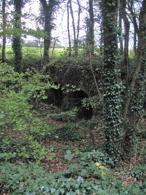
The wood is predominantly made up of broadleaf trees, including oak, beech, and ash, which create a dense canopy overhead, providing a habitat for a variety of woodland birds such as woodpeckers, thrushes, and owls. The forest floor is covered with a rich carpet of bluebells, wild garlic, and ferns, making it a popular spot for nature enthusiasts and photographers, particularly during the spring season when the woodland bursts into a riot of colors.
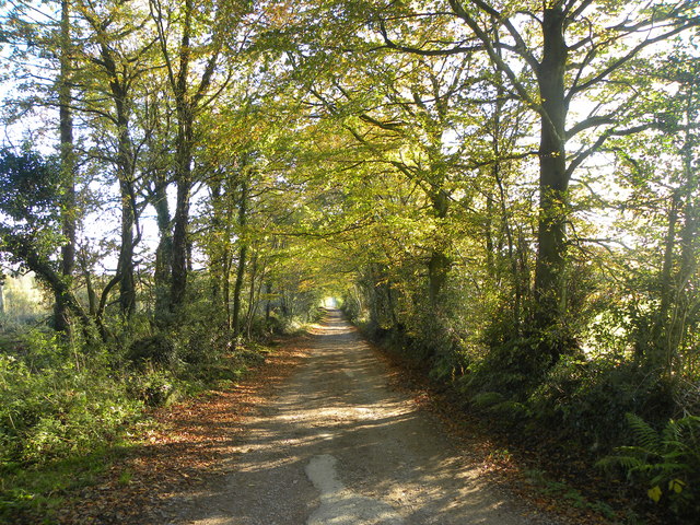
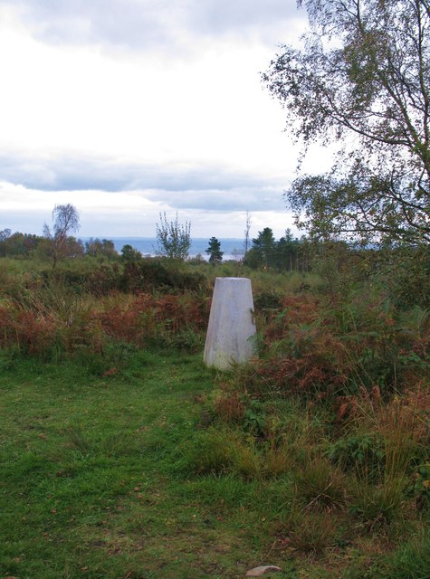
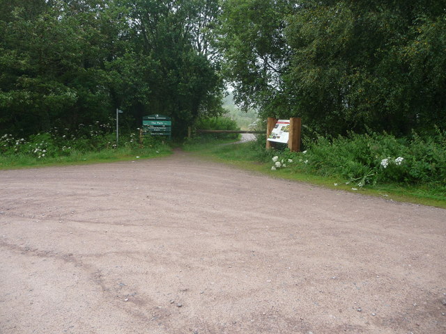
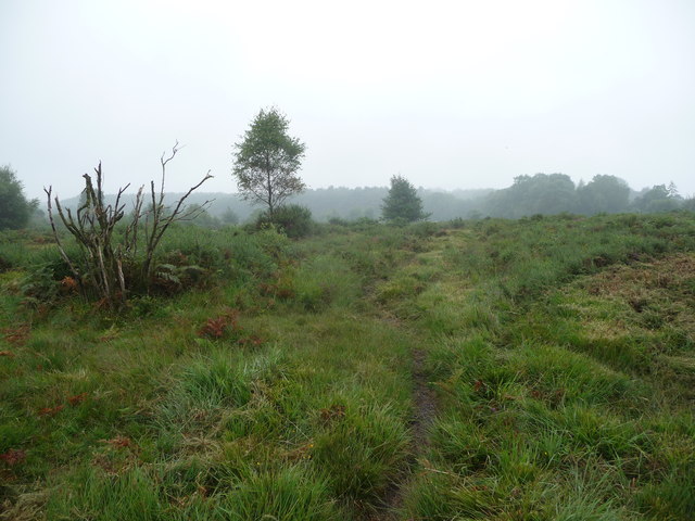
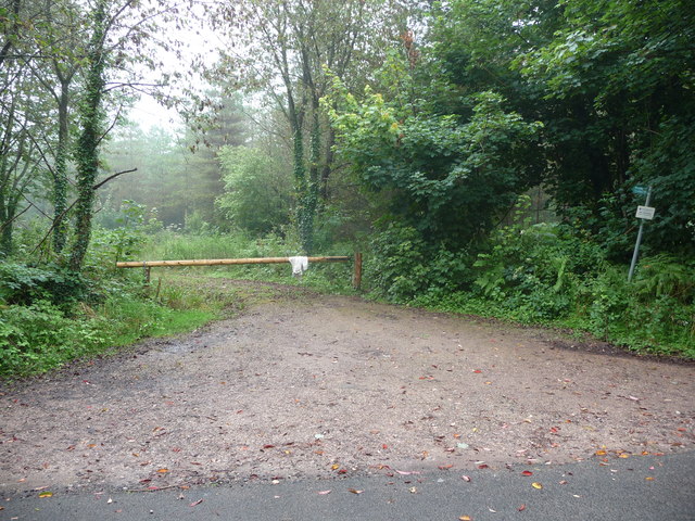
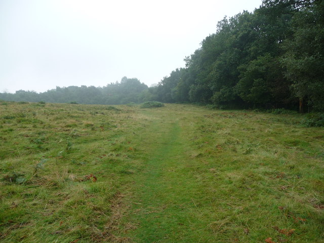
Woolaston Wood is crisscrossed by several footpaths and trails, allowing visitors to explore its natural beauty. The paths meander through the wood, taking hikers past ancient trees and tranquil ponds, providing a serene and peaceful escape from the hustle and bustle of everyday life.
The wood is also home to a diverse range of wildlife, including deer, foxes, badgers, and squirrels. It is not uncommon to spot these creatures during a leisurely stroll through the woods, adding to the charm and allure of Woolaston Wood.
Overall, Woolaston Wood is a hidden gem in Gloucestershire, offering a serene and tranquil environment for nature lovers to explore and appreciate the beauty of the English countryside.
If you have any feedback on the listing, please let us know in the comments section below.
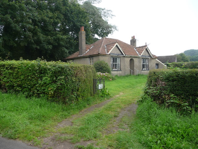
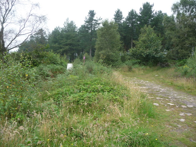
Woolaston Wood Images
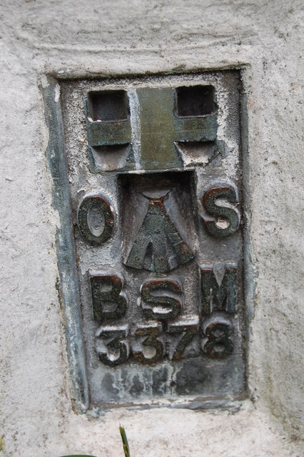
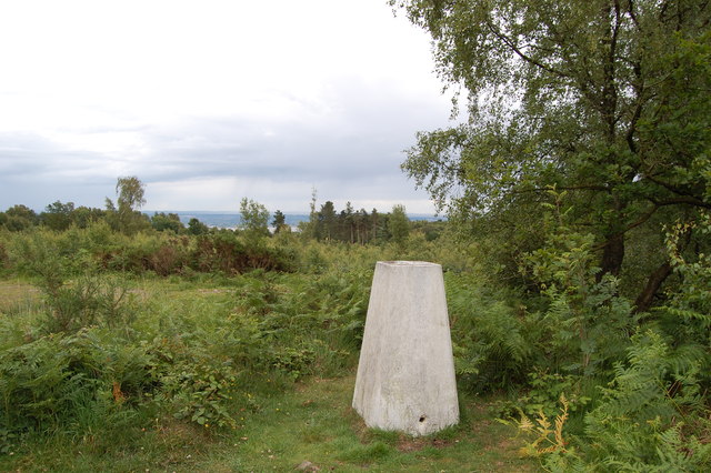
Images are sourced within 2km of 51.698171/-2.6264915 or Grid Reference SO5600. Thanks to Geograph Open Source API. All images are credited.


Woolaston Wood is located at Grid Ref: SO5600 (Lat: 51.698171, Lng: -2.6264915)
Administrative County: Gloucestershire
District: Forest of Dean
Police Authority: Gloucestershire
What 3 Words
///giants.smoke.catapult. Near Tintern, Monmouthshire
Nearby Locations
Related Wikis

East Wood, Tidenham
East Wood (grid reference SO561001) (west site) and (grid reference SO563001) (east site) is a 0.82-hectare (2.0-acre) nature reserve in Gloucestershire...

Poor's Allotment
Poor's Allotment (grid reference ST560990) is a 28.57-hectare (70.6-acre) biological Site of Special Scientific Interest in Gloucestershire, notified in...

Ridley Bottom, Tidenham
Ridley Bottom (grid reference ST563985) is a 1.1-hectare (2.7-acre) nature reserve in Gloucestershire. The site is listed in the 'Forest of Dean Local...

Miss Grace's Lane
Miss Grace's Lane (also known as Miss Grace's Lane Swallett), near Tidenham in the Forest of Dean, Gloucestershire, England, is a natural cave system,...

Woolaston
Woolaston is a village and civil parish in the Forest of Dean district of Gloucestershire in South West England. It lies on the north side of the Severn...

Hewelsfield Motte
The Hewelsfield Motte is a roughly circular mound, in Hewelsfield, Gloucestershire, England. It is thought to be a castle motte dating from the period...

Hewelsfield
Hewelsfield is a village in Hewelsfield and Brockweir civil parish, in the Forest of Dean district of Gloucestershire, England. The village is located...

Hewelsfield and Brockweir
Hewelsfield and Brockweir is a civil parish in Forest of Dean District, Gloucestershire. The parish was called Hewelsfield until 1994. It contains two...
Nearby Amenities
Located within 500m of 51.698171,-2.6264915Have you been to Woolaston Wood?
Leave your review of Woolaston Wood below (or comments, questions and feedback).