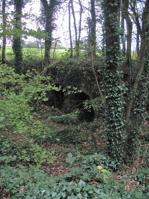
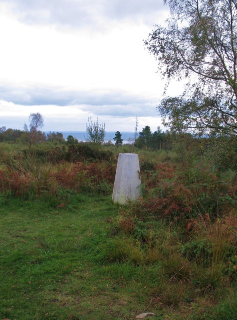
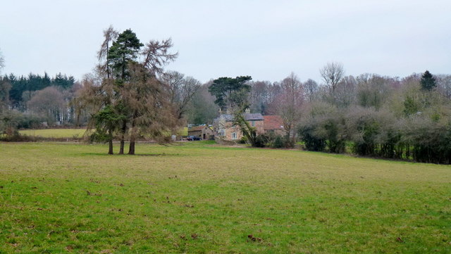
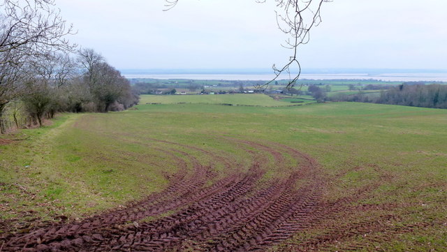
East Wood

Wood, Forest in Gloucestershire Forest of Dean

England

East Wood

Flush Bracket on Trig Pillar
Flush Bracket on Trig Pillar Credit: Clive Perrin

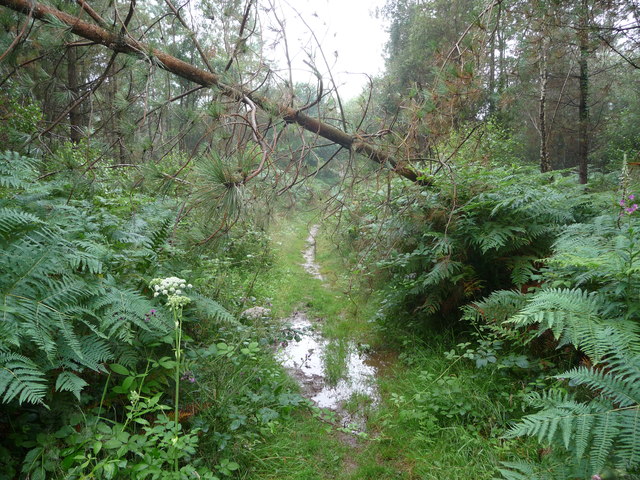
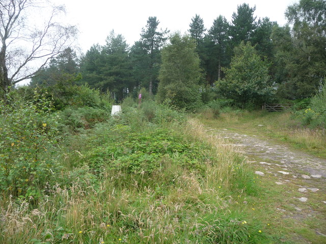
East Wood is a small village located in the Forest of Dean district of Gloucestershire, England. Situated in the heart of a dense woodland area, it is known for its picturesque landscapes and tranquil surroundings. The village is surrounded by a mix of ancient oak, beech, and birch trees, creating a thriving forest ecosystem that attracts nature enthusiasts and outdoor adventurers.

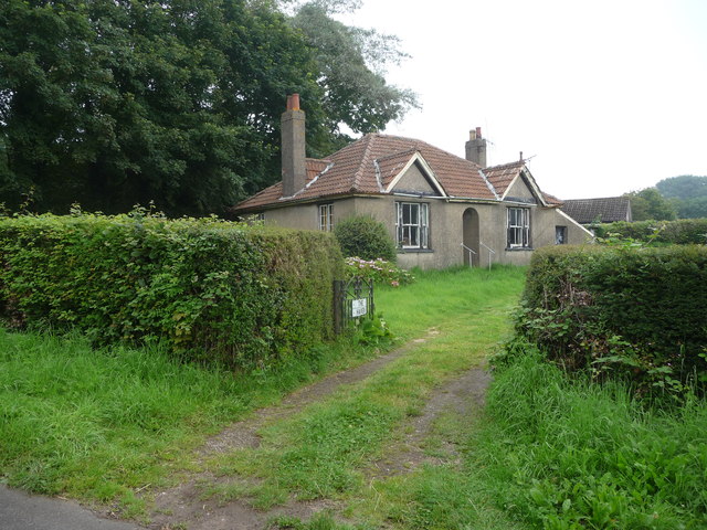
With a population of around 500 residents, East Wood offers a close-knit community atmosphere. The village primarily consists of traditional stone cottages and a few modern houses, blending harmoniously with the natural environment. The architecture showcases the rich history of the area, with some buildings dating back several centuries.

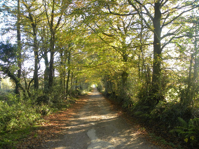
The Forest of Dean, which East Wood is a part of, provides numerous recreational opportunities for residents and visitors alike. The forest is crisscrossed by a network of footpaths and trails, making it ideal for hiking, cycling, and horseback riding. Nature lovers can enjoy birdwatching, as the forest is home to a variety of bird species, including woodpeckers and buzzards.

The village has basic amenities, including a village hall, a primary school, and a local shop that caters to the daily needs of the residents. For more extensive shopping and entertainment options, the nearby town of Cinderford is easily accessible.

Overall, East Wood offers a serene and idyllic setting, making it a perfect location for those seeking a peaceful lifestyle surrounded by nature's beauty.

If you have any feedback on the listing, please let us know in the comments section below.
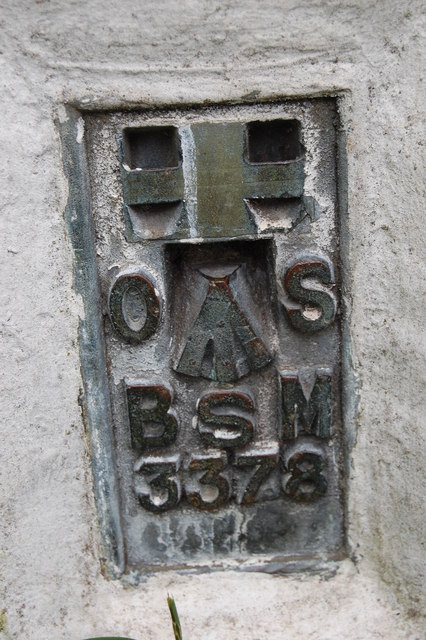
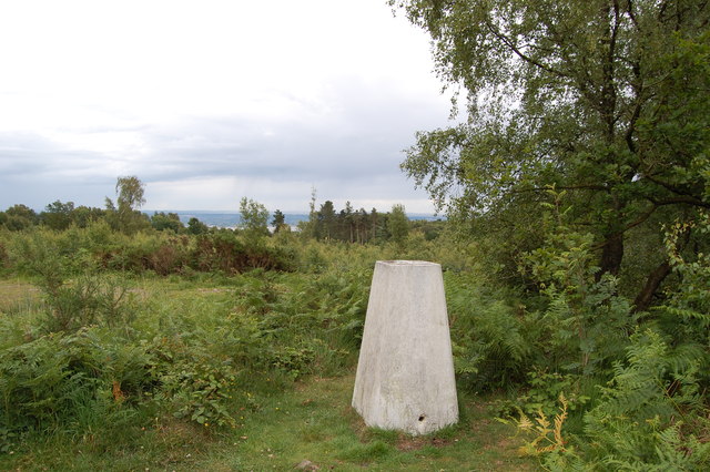
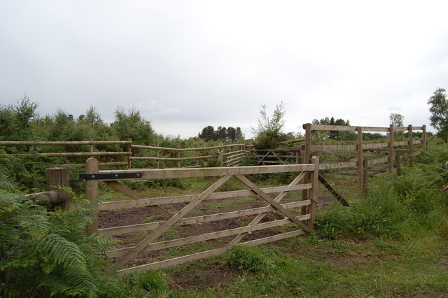
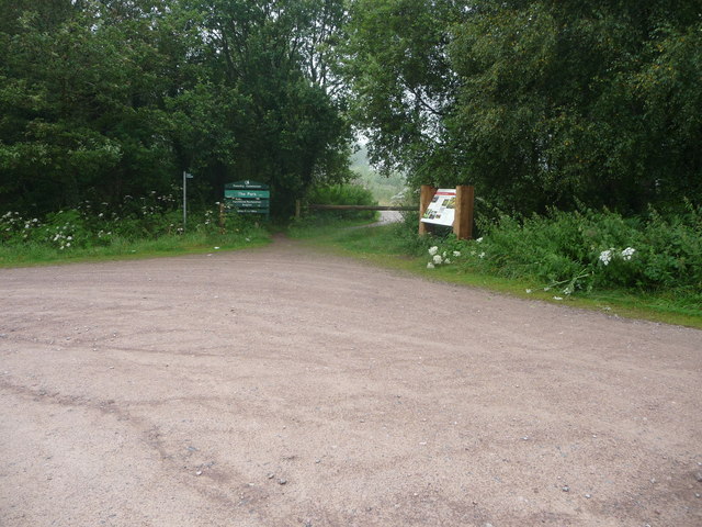
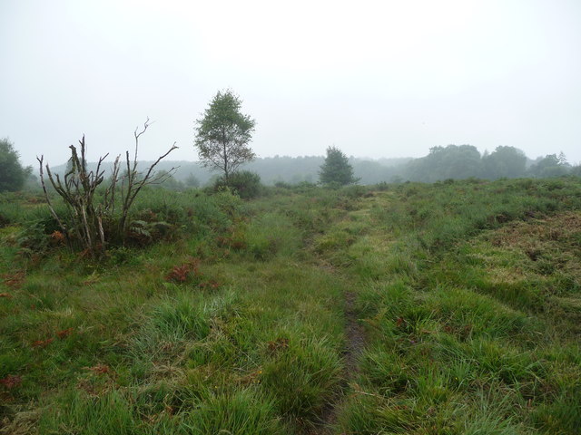
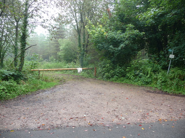
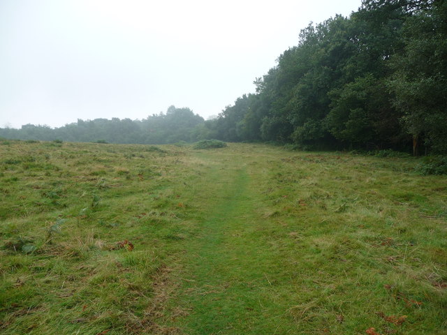
East Wood Images

Images are sourced within 2km of 51.697367/-2.6338741 or Grid Reference SO5600. Thanks to Geograph Open Source API. All images are credited.

Flush Bracket on Trig Pillar
Trig Pillar Tidenham Park
Animal Pound Tidenham  Park
Animal Pound Tidenham Park
Miss Graces Lane This lane borders "The Park", an area of woodland and heathland.
Miss Graces Lane
This lane borders "The Park", an area of woodland and heathland.
Another Kissing Gate The stiles on the path from Tidenham Chase to the "Devil's Pulpit" have been replaced with kissing gates.
Another Kissing Gate
The stiles on the path from Tidenham Chase to the "Devil's Pulpit" have been replaced with kissing gates.
Old lime kilns at Ash Grove Former lime kilns at the edge of a shallow quarry next to Miss Grace's Lane.
Old lime kilns at Ash Grove
Former lime kilns at the edge of a shallow quarry next to Miss Grace's Lane.
Trig Point 217m Now largely surrounded by small trees and scrub, this OS trig point was probably erected when the view around was clear. The Severn estuary can be glimpsed in the distance.
Trig Point 217m
Now largely surrounded by small trees and scrub, this OS trig point was probably erected when the view around was clear. The Severn estuary can be glimpsed in the distance.
House at Park Hill View across pasture land with the backdrop of Burnt Plantation.
House at Park Hill
View across pasture land with the backdrop of Burnt Plantation.
Pastoral scene to the mighty Severn View from Park Hill Road over High Woolaston.
Pastoral scene to the mighty Severn
View from Park Hill Road over High Woolaston.
Part of the Forestry Commission car park at The Park near Tidenham Chase Information boards and waymarked paths abound. Nice starting point for several walks locally.
Part of the Forestry Commission car park at The Park near Tidenham Chase
Information boards and waymarked paths abound. Nice starting point for several walks locally.
Heathland path near Poor's Allotment Heath and scrubland on a slightly dismal summer morning.
Heathland path near Poor's Allotment
Heath and scrubland on a slightly dismal summer morning.
Track into woodland off Rosemary Lane A barrier prevents unwelcome vehicular access.
Track into woodland off Rosemary Lane
A barrier prevents unwelcome vehicular access.
Path on Poor's Allotment A slightly autumnal August morning sets off the scene on this area of grassland and scrub.
Path on Poor's Allotment
A slightly autumnal August morning sets off the scene on this area of grassland and scrub.
Woodland path through Parson's Allotment Soggy, slippery path after a night of rain, made trickier by the odd obstacle.
Woodland path through Parson's Allotment
Soggy, slippery path after a night of rain, made trickier by the odd obstacle.
Old cottage bungalow near Tidenham Chase The name is 'The Haven'. It must have been just that when newly built.
Old cottage bungalow near Tidenham Chase
The name is 'The Haven'. It must have been just that when newly built.
Old trig point in The Park Partly obscured by the scrub.
Old trig point in The Park
Partly obscured by the scrub.
Muddy field entrance at Sheepcot Farm
Double track at Sheepcot Farm
Show me another place!

East Wood is located at Grid Ref: SO5600 (Lat: 51.697367, Lng: -2.6338741)

Administrative County: Gloucestershire

District: Forest of Dean

Police Authority: Gloucestershire

What 3 Words

///drumbeat.glove.trader. Near Tintern, Monmouthshire

Related Wikis

East Wood, Tidenham

East Wood (grid reference SO561001) (west site) and (grid reference SO563001) (east site) is a 0.82-hectare (2.0-acre) nature reserve in Gloucestershire...

Poor's Allotment

Poor's Allotment (grid reference ST560990) is a 28.57-hectare (70.6-acre) biological Site of Special Scientific Interest in Gloucestershire, notified in...

Miss Grace's Lane

Miss Grace's Lane (also known as Miss Grace's Lane Swallett), near Tidenham in the Forest of Dean, Gloucestershire, England, is a natural cave system,...

Ridley Bottom, Tidenham

Ridley Bottom (grid reference ST563985) is a 1.1-hectare (2.7-acre) nature reserve in Gloucestershire. The site is listed in the 'Forest of Dean Local...

Hewelsfield and Brockweir

Hewelsfield and Brockweir is a civil parish in Forest of Dean District, Gloucestershire. The parish was called Hewelsfield until 1994. It contains two...

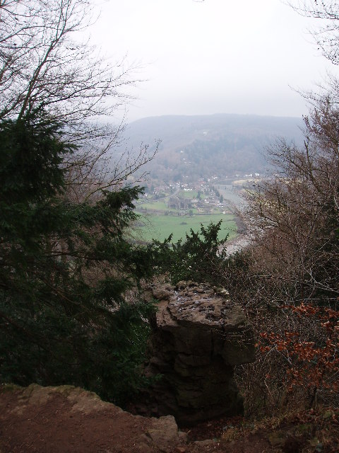
Devil's Pulpit, Gloucestershire

The Devil's Pulpit is a rocky limestone outcrop and scenic viewpoint in the Forest of Dean District of Gloucestershire, England, within the Wye Valley...

Hewelsfield Motte

The Hewelsfield Motte is a roughly circular mound, in Hewelsfield, Gloucestershire, England. It is thought to be a castle motte dating from the period...

Hewelsfield

Hewelsfield is a village in Hewelsfield and Brockweir civil parish, in the Forest of Dean district of Gloucestershire, England. The village is located...

Nearby Amenities

Located within 500m of 51.697367,-2.6338741
Bus Stop
Madgett Cottages
Naptan AtcoCode: 1600GLF749
Naptan Bearing: S
Naptan CommonName: Madgett Cottages
Naptan NaptanCode: gloadjgj
Naptan Street: B4228
Naptan Verified: no
Source: naptan_import
Lat/Long: 51.6975456/-2.640569
Bus Stop
Madgett Cottages
Naptan AtcoCode: 1600GLF750
Naptan Bearing: N
Naptan CommonName: Madgett Cottages
Naptan Indicator: Opp
Naptan NaptanCode: gloadjgd
Naptan Street: B4228
Naptan Verified: no
Source: naptan_import
Lat/Long: 51.6974548/-2.6407269
Bus Stop
Park Hill Ln
Bench: yes
Naptan AtcoCode: 1600GLF751
Naptan Bearing: S
Naptan CommonName: Park Hill Ln
Naptan NaptanCode: gloadjmt
Naptan Street: B4228
Naptan Verified: no
Shelter: yes
Source: naptan_import
Lat/Long: 51.694893/-2.63894
Bus Stop
Park Hill Ln
Naptan AtcoCode: 1600GLF752
Naptan Bearing: N
Naptan CommonName: Park Hill Ln
Naptan Indicator: Opp
Naptan NaptanCode: gloadjmp
Naptan Street: B4228
Naptan Verified: no
Source: naptan_import
Lat/Long: 51.6950986/-2.6391455
Historic: milestone
Lat/Long: 51.6983301/-2.6399985
Addr Housename: Madgett Cottages
Lat/Long: 51.6973044/-2.6402684
Give Way
Direction: backward
Lat/Long: 51.6950851/-2.6389953
The data included in this document is from www.openstreetmap.org. The data is made available under ODbL.

Have you been to East Wood?

Leave your review of East Wood below (or comments, questions and feedback).