Higher Locka Wood

Wood, Forest in Lancashire Lancaster

England

Higher Locka Wood

Farmland near Gunnerthwaite Grazing land in the Keer valley. The gate indicates the route of the Thirlmere Aqueduct. A valve house can be seen in the distance. The aqueduct used to be inspected by foot, so gates were provided where the route crosses walls and fences.
Farmland near Gunnerthwaite Credit: Ian Taylor

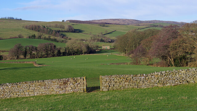
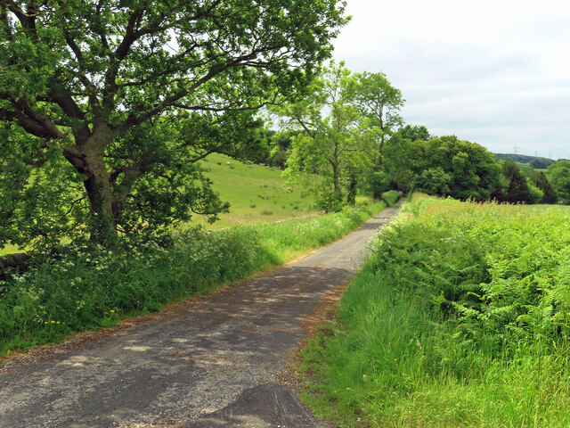
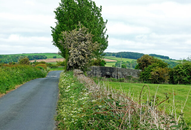
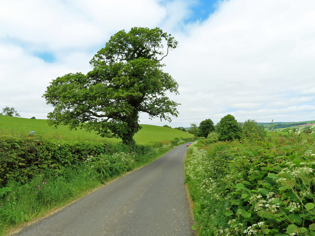
Higher Locka Wood is a picturesque woodland located in the county of Lancashire, in the northwest region of England. Covering an area of approximately 100 acres, the wood is situated in the rural village of Locka, surrounded by rolling hills and offering stunning views of the surrounding countryside.

The woodland is predominantly composed of native broadleaf trees such as oak, beech, and birch, creating a diverse and vibrant ecosystem. The dense canopy provides a haven for a wide variety of bird species, including woodpeckers, thrushes, and owls, making it a popular destination for birdwatchers and nature enthusiasts.

Various walking trails wind their way through the wood, allowing visitors to explore the natural beauty at their own pace. The paths are well-maintained, making the wood accessible to people of all ages and abilities. Along the way, visitors may come across peaceful streams, wildflowers, and a variety of wildlife, adding to the enchanting atmosphere.

Higher Locka Wood is also home to a range of woodland flora, including bluebells, wood anemones, and ferns, which carpet the forest floor in a vibrant display during the spring and summer months.

The wood is a designated Site of Special Scientific Interest (SSSI), recognizing its importance for its ecological value and contribution to the local biodiversity. This status ensures that the wood is protected and managed in a sustainable manner.

Overall, Higher Locka Wood is a charming and tranquil woodland that offers a serene escape from the hustle and bustle of everyday life, providing visitors with an opportunity to connect with nature and enjoy the beauty of the Lancashire countryside.

If you have any feedback on the listing, please let us know in the comments section below.

Higher Locka Wood Images

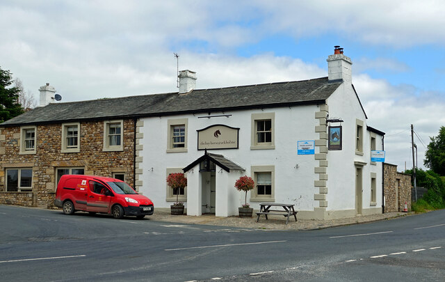
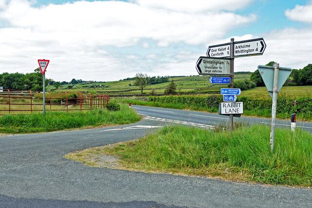
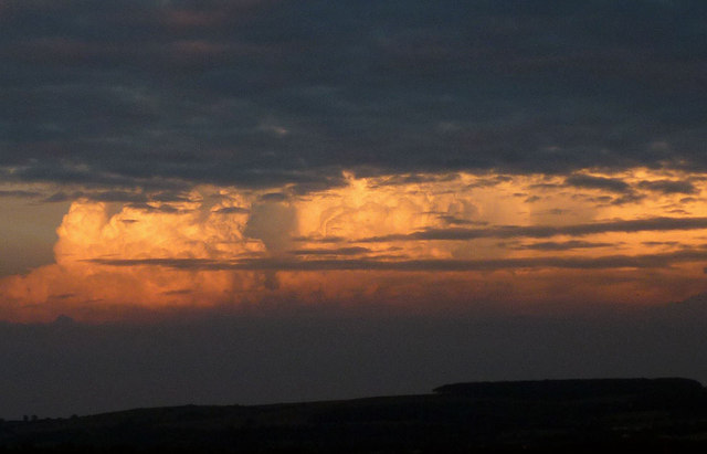
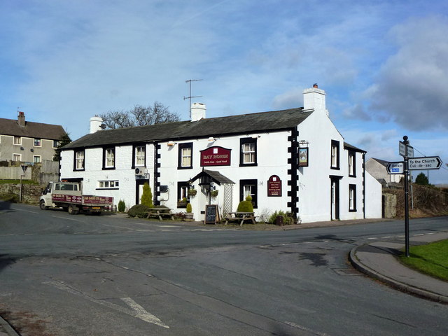
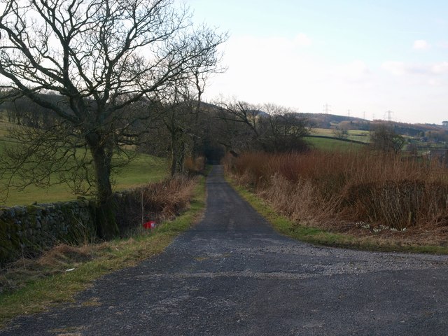
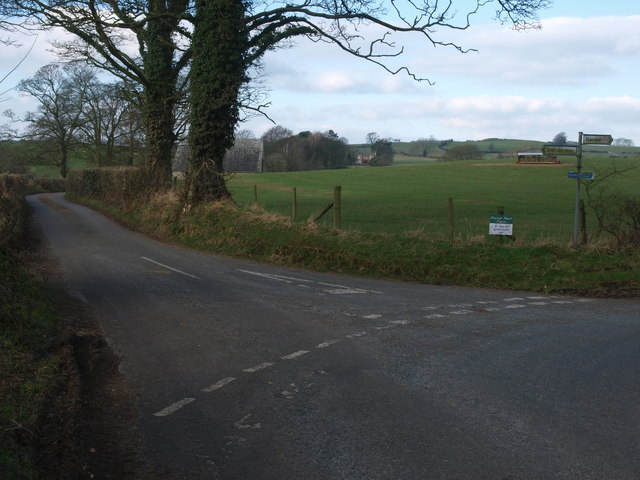
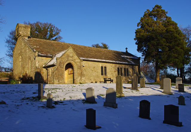
Images are sourced within 2km of 54.142784/-2.6620086 or Grid Reference SD5672. Thanks to Geograph Open Source API. All images are credited.

Farmland near Gunnerthwaite Grazing land in the Keer valley. The gate indicates the route of the Thirlmere Aqueduct. A valve house can be seen in the distance. The aqueduct used to be inspected by foot, so gates were provided where the route crosses walls and fences.
Farmland near Gunnerthwaite
Grazing land in the Keer valley. The gate indicates the route of the Thirlmere Aqueduct. A valve house can be seen in the distance. The aqueduct used to be inspected by foot, so gates were provided where the route crosses walls and fences.
Lune Valley Ramble This lovely trail continues northwards from here. It is clearly well rambled, and deserves to be. It passes through glorious woodland, which today were full of a marvellous variety of trees, wildflowers and wildlife. We must preserve these woodlands, not cut them down to make more room for yet more roads and building developments.
Lune Valley Ramble
This lovely trail continues northwards from here. It is clearly well rambled, and deserves to be. It passes through glorious woodland, which today were full of a marvellous variety of trees, wildflowers and wildlife. We must preserve these woodlands, not cut them down to make more room for yet more roads and building developments.
Towards Gunnerthwaite A farm access road in the Keer Valley.
Towards Gunnerthwaite
A farm access road in the Keer Valley.
Railway bridge near Docker Park This bridge takes the road across the Morecambe line.
Railway bridge near Docker Park
This bridge takes the road across the Morecambe line.
A Lancashire lane One of many narrow lanes in this agricultural part of Lancashire.
A Lancashire lane
One of many narrow lanes in this agricultural part of Lancashire.
The Bay Horse Inn at Arkholme Located on the B6254 on the edge of the village.
The Bay Horse Inn at Arkholme
Located on the B6254 on the edge of the village.
Rabbit Lane The lane is part of the Lancashire Cycleway.
Rabbit Lane
The lane is part of the Lancashire Cycleway.
Arkholme Methodist Chapel
Farmland near Gressingham
Thunder in the east? As the sun was getting low a break in the clouds east and north of Carnforth gave a glimpse of these towering thunder clouds beyond Cragg Lot. No thunder could be heard so perhaps they were a long way away? The day had been warm and humid.
Thunder in the east?
As the sun was getting low a break in the clouds east and north of Carnforth gave a glimpse of these towering thunder clouds beyond Cragg Lot. No thunder could be heard so perhaps they were a long way away? The day had been warm and humid.
Footbridge in Thrush Gill Wood
Footpath north of Thrush Gill Wood
Elegant barn conversion near Arkholme
Field entrance north of Gressingham
The Bay Horse at Arkholme
Brown Edge Farm entrance Footpath and track leading up towards Brown Edge Farm.
Brown Edge Farm entrance
Footpath and track leading up towards Brown Edge Farm.
Track to Snab Green Farm Track leading off towards Snab Green Farm.
Track to Snab Green Farm
Track leading off towards Snab Green Farm.
Road to Snab Green Farm Junction where the cul de sac leads off towards Snab Green Farm.
Road to Snab Green Farm
Junction where the cul de sac leads off towards Snab Green Farm.
Show me another place!

Higher Locka Wood is located at Grid Ref: SD5672 (Lat: 54.142784, Lng: -2.6620086)

Administrative County: Lancashire

District: Lancaster

Police Authority: Lancashire

What 3 Words

///myth.clays.factually. Near Warton, Lancashire

Nearby Locations

Higher Locka Wood

Related Wikis

Arkholme-with-Cawood

Arkholme-with-Cawood is a civil parish of the City of Lancaster in Lancashire, England. The parish of Arkholme-with-Cawood had a population of 334 recorded...

Arkholme for Kirkby Lonsdale railway station

Arkholme for Kirkby Lonsdale railway station served the village of Arkholme in Lancashire, England. It is situated on what is now the Leeds–Morecambe line...

St John the Baptist's Church, Arkholme

St John the Baptist's Church, is in the village of Arkholme, Lancaster, Lancashire, England. It is an active Anglican parish church in the deanery of Tunstall...

St John the Evangelist's Church, Gressingham

St John the Evangelist's Church is in the village of Gressingham, Lancashire, England. The church is recorded in the National Heritage List for England...

Nearby Amenities

Located within 500m of 54.142784,-2.6620086
The data included in this document is from www.openstreetmap.org. The data is made available under ODbL.

Have you been to Higher Locka Wood?

Leave your review of Higher Locka Wood below (or comments, questions and feedback).