Lee Plantation
Wood, Forest in Lancashire Lancaster
England
Lee Plantation
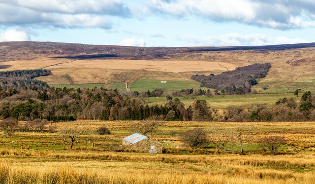
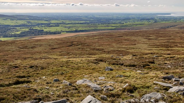
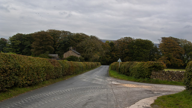
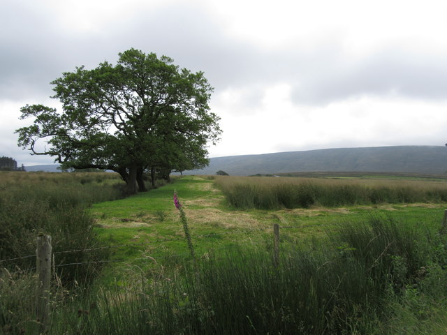
Lee Plantation is a picturesque woodland area located in Lancashire, England. Situated in the southern part of the county, it covers an expansive area and is known for its lush greenery and diverse flora and fauna. The plantation is nestled within the rolling hills of Lancashire, providing a tranquil and serene environment for visitors.
The woodland is primarily composed of various species of trees, including oak, beech, and birch, which create a dense forest canopy. This rich diversity of trees provides a habitat for numerous wildlife species, such as deer, foxes, and various bird species, making it an ideal spot for nature enthusiasts and birdwatchers.
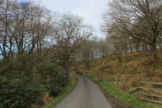
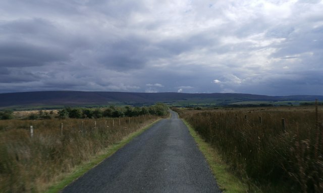
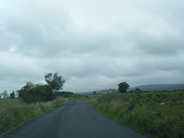
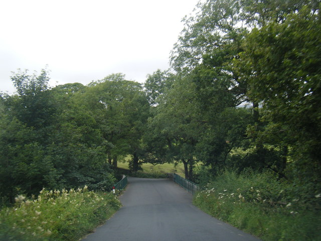
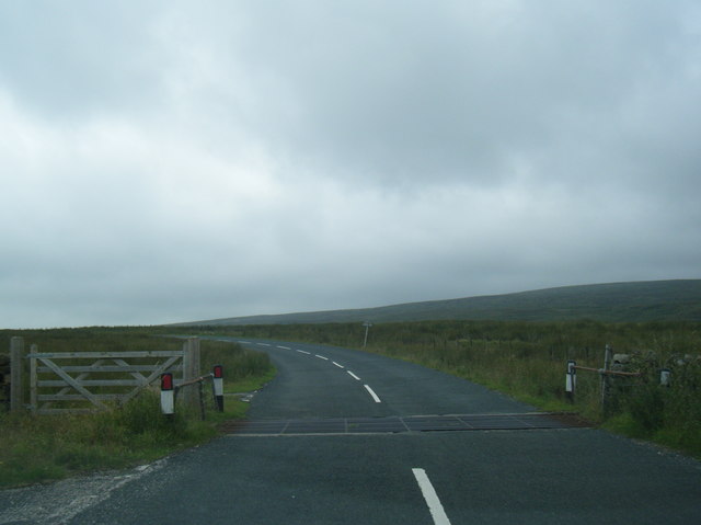
The plantation offers a range of walking trails and paths that allow visitors to explore its natural beauty at their own pace. These trails are well-maintained and offer scenic views of the surrounding countryside, making it a popular destination for hikers and outdoor enthusiasts.
In addition to its natural beauty, Lee Plantation also holds historical significance. It is said to have been utilized as a hunting ground during medieval times, and remnants of ancient hunting lodges can still be found within the woodland. These historical features add a sense of intrigue and charm to the area, attracting history buffs and archaeology enthusiasts.
Overall, Lee Plantation in Lancashire is a stunning woodland area that offers a peaceful retreat from the bustling city life. With its diverse flora and fauna, well-maintained trails, and historical significance, it provides a delightful experience for nature lovers, hikers, and those seeking a connection with Lancashire's rich natural and historical heritage.
If you have any feedback on the listing, please let us know in the comments section below.
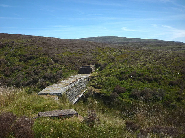
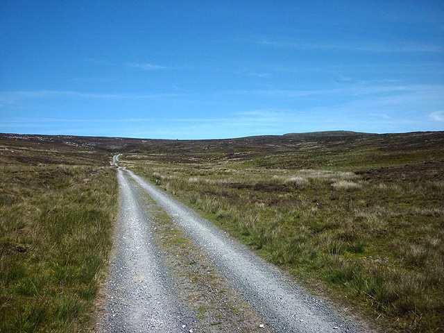
Lee Plantation Images
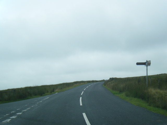
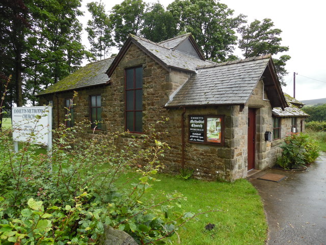
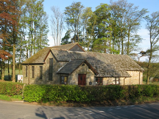
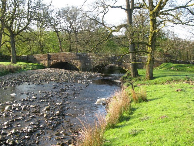
Images are sourced within 2km of 53.996736/-2.6647376 or Grid Reference SD5655. Thanks to Geograph Open Source API. All images are credited.
Lee Plantation is located at Grid Ref: SD5655 (Lat: 53.996736, Lng: -2.6647376)
Administrative County: Lancashire
District: Lancaster
Police Authority: Lancashire
What 3 Words
///divisions.scripted.storybook. Near Bay Horse, Lancashire
Nearby Locations
Related Wikis

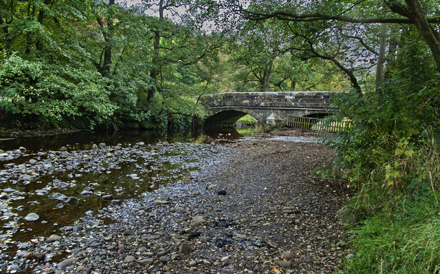
River Grizedale
The River Grizedale, also known as Grizedale Beck, is a river in Lancashire, England. The river rises at Grizedale Head between Abbeystead Fell, Cabin...

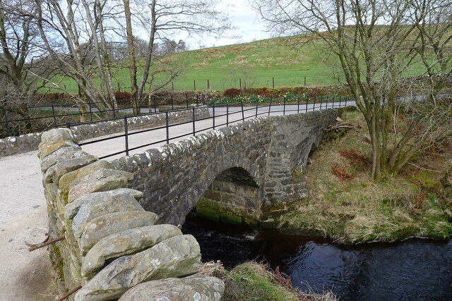
Grizedale Bridge
Grizedale Bridge is a Grade II listed bridge in the English parish of Over Wyresdale, Lancashire. The structure, which dates to the 19th century, carries...

Abbeystead House
Abbeystead House is a large country house to the east of the village of Abbeystead, Lancashire, England, some 12 km (7 miles) south-east of Lancaster....

William Molyneux, 4th Earl of Sefton
William Philip Molyneux, 4th Earl of Sefton, (14 October 1835 – 27 June 1897) was a British peer. == Biography == Born Viscount Molyneux, he was the eldest...
Nearby Amenities
Located within 500m of 53.996736,-2.6647376Have you been to Lee Plantation?
Leave your review of Lee Plantation below (or comments, questions and feedback).