Higher Tatham Wood

Wood, Forest in Lancashire Lancaster

England

Higher Tatham Wood

Diverted footpath, Gressingham Temporary diversion whilst a fallen tree is dealt with. Many trees were blown over or damaged in a series of storms this winter. Storm Arwen (November 2021) was notable for its northerly winds. The chainsaws have been busy since then.
Diverted footpath, Gressingham Credit: Ian Taylor

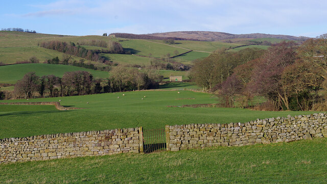
Higher Tatham Wood is a sprawling forest located in Lancashire, England. Covering an area of approximately 300 acres, the wood is a popular destination for nature lovers and outdoor enthusiasts. The forest is predominantly made up of a mix of broadleaf and coniferous trees, providing a rich and diverse habitat for a variety of wildlife.

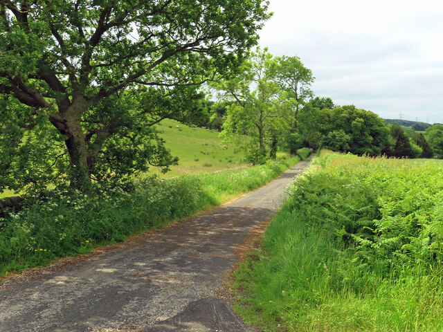
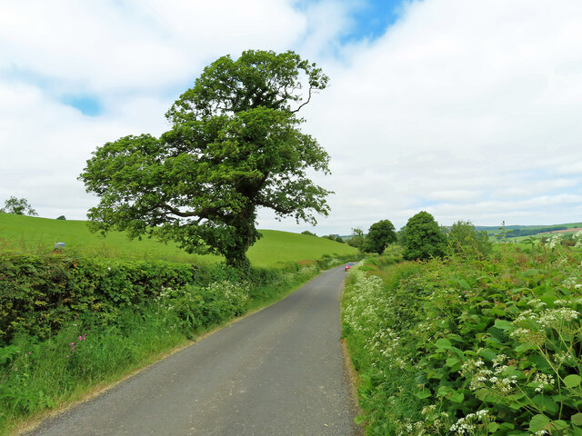
Visitors to Higher Tatham Wood can enjoy a network of well-maintained walking trails that wind their way through the forest, offering stunning views of the surrounding countryside. The peaceful atmosphere of the wood makes it an ideal spot for birdwatching, with a number of species of birds calling the forest home.

Higher Tatham Wood is managed by the Forestry Commission, who work to ensure the sustainability and conservation of the forest for future generations to enjoy. The wood is also used for sustainable timber production, with carefully managed logging operations taking place to maintain the health and vitality of the forest.

Overall, Higher Tatham Wood is a beautiful and tranquil natural space that offers a peaceful retreat from the hustle and bustle of everyday life.

If you have any feedback on the listing, please let us know in the comments section below.

Higher Tatham Wood Images

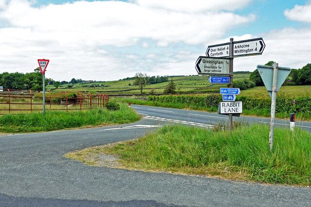
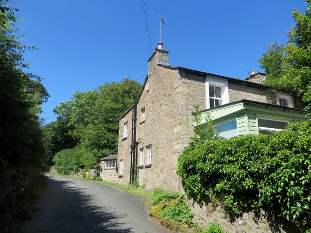
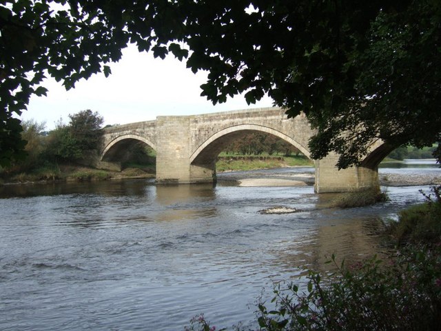
Images are sourced within 2km of 54.138595/-2.6670388 or Grid Reference SD5671. Thanks to Geograph Open Source API. All images are credited.

Diverted footpath, Gressingham Temporary diversion whilst a fallen tree is dealt with. Many trees were blown over or damaged in a series of storms this winter. Storm Arwen (November 2021) was notable for its northerly winds. The chainsaws have been busy since then.
Diverted footpath, Gressingham
Temporary diversion whilst a fallen tree is dealt with. Many trees were blown over or damaged in a series of storms this winter. Storm Arwen (November 2021) was notable for its northerly winds. The chainsaws have been busy since then.
St John the Evangelist - Gressingham
Farmland near Gunnerthwaite Grazing land in the Keer valley. The gate indicates the route of the Thirlmere Aqueduct. A valve house can be seen in the distance. The aqueduct used to be inspected by foot, so gates were provided where the route crosses walls and fences.
Farmland near Gunnerthwaite
Grazing land in the Keer valley. The gate indicates the route of the Thirlmere Aqueduct. A valve house can be seen in the distance. The aqueduct used to be inspected by foot, so gates were provided where the route crosses walls and fences.
Towards Gunnerthwaite A farm access road in the Keer Valley.
Towards Gunnerthwaite
A farm access road in the Keer Valley.
A Lancashire lane One of many narrow lanes in this agricultural part of Lancashire.
A Lancashire lane
One of many narrow lanes in this agricultural part of Lancashire.
The Bay Horse Inn at Arkholme Located on the B6254 on the edge of the village.
The Bay Horse Inn at Arkholme
Located on the B6254 on the edge of the village.
Rabbit Lane The lane is part of the Lancashire Cycleway.
Rabbit Lane
The lane is part of the Lancashire Cycleway.
A unique metal grave marker, Gressingham The marker on this grave appears to be made of stainless steel and the body of slate. It belongs to Philip Walter Sawford Andrews <span class="nowrap"><a title="https://en.wikipedia.org/wiki/Philip_Andrews" rel="nofollow ugc noopener" href="https://en.wikipedia.org/wiki/Philip_Andrews">Link</a><img style="margin-left:2px;" alt="External link" title="External link - shift click to open in new window" src="https://s1.geograph.org.uk/img/external.png" width="10" height="10"/></span> and his wife, Mary.
A unique metal grave marker, Gressingham
The marker on this grave appears to be made of stainless steel and the body of slate. It belongs to Philip Walter Sawford Andrews LinkExternal link and his wife, Mary.
Inscription on grave, Gressingham The inscribed slab on <a href="https://www.geograph.org.uk/photo/4665030">SD5769 : A unique metal grave marker, Gressingham</a> to commemorate Philip Walter Sawford Andrews <span class="nowrap"><a title="https://en.wikipedia.org/wiki/Philip_Andrews" rel="nofollow ugc noopener" href="https://en.wikipedia.org/wiki/Philip_Andrews">Link</a><img style="margin-left:2px;" alt="External link" title="External link - shift click to open in new window" src="https://s1.geograph.org.uk/img/external.png" width="10" height="10"/></span>
Inscription on grave, Gressingham
The inscribed slab on SD5769 : A unique metal grave marker, Gressingham to commemorate Philip Walter Sawford Andrews LinkExternal link
Inscribed tablet, Church of St John the Evangelist, Gressingham 'Attached to the wall of the north aisle is a tablet in memory of Madeline Bluecher, Graefin Wahlstadt Dallas, with a German inscription arranged around a foliated cross in a foliated surround' <span class="nowrap"><a title="http://www.britishlistedbuildings.co.uk/en-182377-church-of-st-john-the-evangelist-gressin#.Vf0hKn06tI4" rel="nofollow ugc noopener" href="http://www.britishlistedbuildings.co.uk/en-182377-church-of-st-john-the-evangelist-gressin#.Vf0hKn06tI4">Link</a><img style="margin-left:2px;" alt="External link" title="External link - shift click to open in new window" src="https://s1.geograph.org.uk/img/external.png" width="10" height="10"/></span>
Inscribed tablet, Church of St John the Evangelist, Gressingham
'Attached to the wall of the north aisle is a tablet in memory of Madeline Bluecher, Graefin Wahlstadt Dallas, with a German inscription arranged around a foliated cross in a foliated surround' LinkExternal link
Cut benchmark, Church of St John the Evangelist, Gressingham On the tower at an altitude of 42.371m asl.
Cut benchmark, Church of St John the Evangelist, Gressingham
On the tower at an altitude of 42.371m asl.
Crow Trees, Gressingham A late-17th century whitewashed cottage adjacent to a footpath south of the village. It is Grade II listed <span class="nowrap"><a title="http://www.britishlistedbuildings.co.uk/en-182378-crow-trees-gressingham-lancashire#.VquHlkCHNI4" rel="nofollow ugc noopener" href="http://www.britishlistedbuildings.co.uk/en-182378-crow-trees-gressingham-lancashire#.VquHlkCHNI4">Link</a><img style="margin-left:2px;" alt="External link" title="External link - shift click to open in new window" src="https://s1.geograph.org.uk/img/external.png" width="10" height="10"/></span>
Crow Trees, Gressingham
A late-17th century whitewashed cottage adjacent to a footpath south of the village. It is Grade II listed LinkExternal link
Date stone, Crow Trees, Gressingham Above the door of <a href="https://www.geograph.org.uk/photo/4808142">SD5769 : Crow Trees, Gressingham</a>. Note the slung hunting horn shield.
Date stone, Crow Trees, Gressingham
Above the door of SD5769 : Crow Trees, Gressingham. Note the slung hunting horn shield.
Gressingham Hall The hall is a late 17th century stone house and is Grade II* listed along with the adjoining former stables <span class="nowrap"><a title="http://www.britishlistedbuildings.co.uk/en-182379-gressingham-hall-and-former-stables-adjo#.VqyVmkCHNI4" rel="nofollow ugc noopener" href="http://www.britishlistedbuildings.co.uk/en-182379-gressingham-hall-and-former-stables-adjo#.VqyVmkCHNI4">Link</a><img style="margin-left:2px;" alt="External link" title="External link - shift click to open in new window" src="https://s1.geograph.org.uk/img/external.png" width="10" height="10"/></span> The stone gate piers in the foreground are Grade II listed as well <span class="nowrap"><a title="http://www.britishlistedbuildings.co.uk/en-182381-pair-of-gatepiers-on-roadside-gressingha#.VqyWfECHNI4" rel="nofollow ugc noopener" href="http://www.britishlistedbuildings.co.uk/en-182381-pair-of-gatepiers-on-roadside-gressingha#.VqyWfECHNI4">Link</a><img style="margin-left:2px;" alt="External link" title="External link - shift click to open in new window" src="https://s1.geograph.org.uk/img/external.png" width="10" height="10"/></span>
Gressingham Hall
The hall is a late 17th century stone house and is Grade II* listed along with the adjoining former stables LinkExternal link The stone gate piers in the foreground are Grade II listed as well LinkExternal link
Waterfall on Gressingham Beck In the village of the same name.
Waterfall on Gressingham Beck
In the village of the same name.
House on Fall Kirk A lane in Gressingham village.
House on Fall Kirk
A lane in Gressingham village.
St John the Evangelist, Gressingham: exterior North side with side aisle and west tower.
St John the Evangelist, Gressingham: exterior
North side with side aisle and west tower.
St John the Evangelist, Gressingham: south porch A classic Norman design with concentric semi-circular arches and chevron carvings.
St John the Evangelist, Gressingham: south porch
A classic Norman design with concentric semi-circular arches and chevron carvings.
Show me another place!

Higher Tatham Wood is located at Grid Ref: SD5671 (Lat: 54.138595, Lng: -2.6670388)

Administrative County: Lancashire

District: Lancaster

Police Authority: Lancashire

What 3 Words

///contemplate.culminate.wove. Near Warton, Lancashire

Related Wikis

Arkholme-with-Cawood

Arkholme-with-Cawood is a civil parish of the City of Lancaster in Lancashire, England. The parish of Arkholme-with-Cawood had a population of 334 recorded...

St John the Evangelist's Church, Gressingham

St John the Evangelist's Church is in the village of Gressingham, Lancashire, England. The church is recorded in the National Heritage List for England...

Gressingham

Gressingham is a small village and civil parish in the City of Lancaster in the English county of Lancashire. It is north of the River Lune and across...

Capernwray Missionary Fellowship of Torchbearers

The Capernwray Missionary Fellowship of Torchbearers (CMFOT), is an evangelical Christian educational organisation based at Capernwray Hall in north Lancashire...

Nearby Amenities

Located within 500m of 54.138595,-2.6670388
Cragg Lot
Place: locality
Lat/Long: 54.1394912/-2.6712535
The data included in this document is from www.openstreetmap.org. The data is made available under ODbL.

Have you been to Higher Tatham Wood?

Leave your review of Higher Tatham Wood below (or comments, questions and feedback).