Lower Lee
Settlement in Lancashire Lancaster
England
Lower Lee
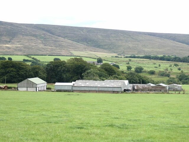
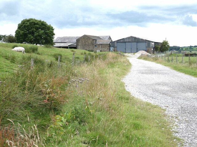
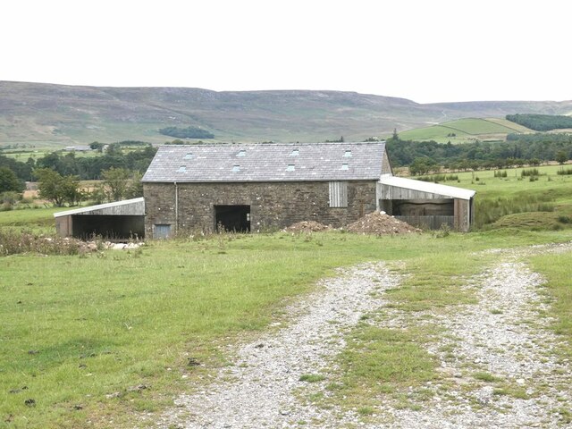
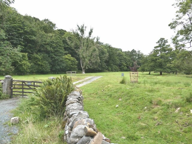
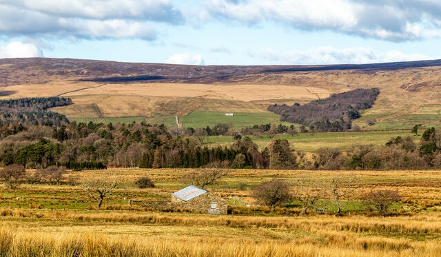
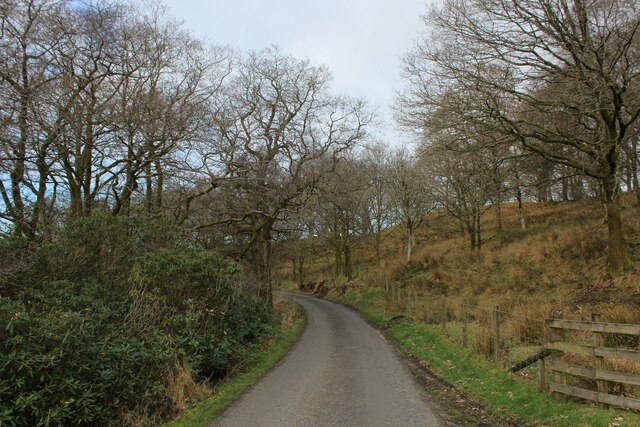
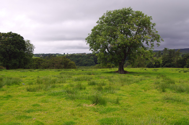
Lower Lee is a small village located in the county of Lancashire, England. It is situated in the picturesque Ribble Valley, approximately 5 miles north of the town of Clitheroe. The village is nestled amidst beautiful countryside and offers a tranquil setting for its residents.
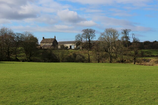
Lower Lee is characterized by its traditional stone-built houses and charming cottages, which add to the village's rustic charm. The area is known for its strong sense of community, with residents often taking part in local events and gatherings. The village also benefits from a close-knit primary school, providing education to the local children.
In terms of amenities, Lower Lee offers a range of facilities to cater to its residents' needs. These include a local pub, which serves as a hub for social activities and a place for locals to gather. There is also a village hall that hosts various events throughout the year, such as community meetings and celebrations.
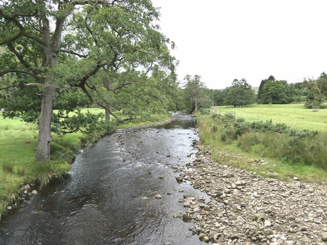
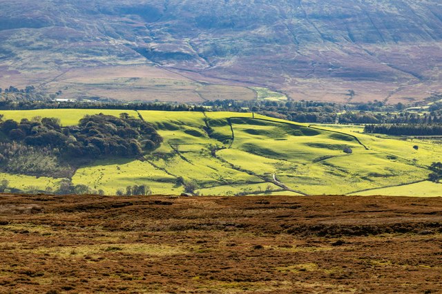
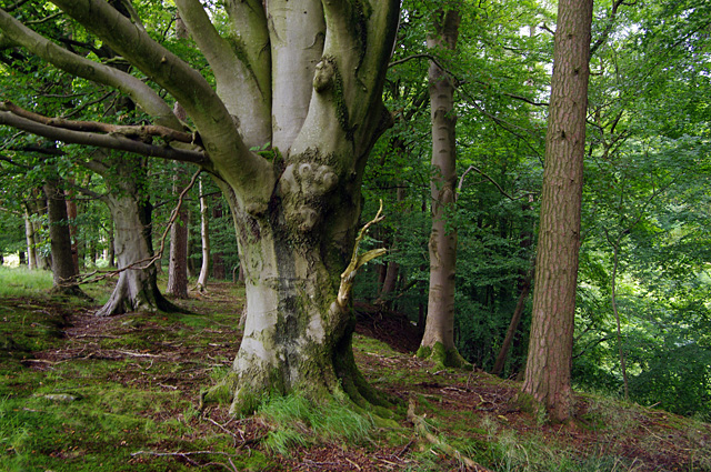
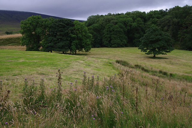
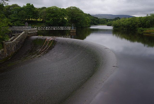
Nature lovers will appreciate Lower Lee's proximity to the Forest of Bowland, an Area of Outstanding Natural Beauty. This provides ample opportunities for outdoor activities such as hiking, cycling, and birdwatching. The nearby River Ribble also offers fishing opportunities for enthusiasts.
Overall, Lower Lee is a charming village that offers a peaceful and idyllic lifestyle for its residents. With its stunning natural surroundings, strong community spirit, and range of amenities, it is a desirable place to live for those seeking a rural retreat in Lancashire.
If you have any feedback on the listing, please let us know in the comments section below.
Lower Lee Images
Images are sourced within 2km of 53.991624/-2.6610566 or Grid Reference SD5655. Thanks to Geograph Open Source API. All images are credited.
Lower Lee is located at Grid Ref: SD5655 (Lat: 53.991624, Lng: -2.6610566)
Administrative County: Lancashire
District: Lancaster
Police Authority: Lancashire
What 3 Words
///tech.landed.charts. Near Bay Horse, Lancashire
Nearby Locations
Related Wikis

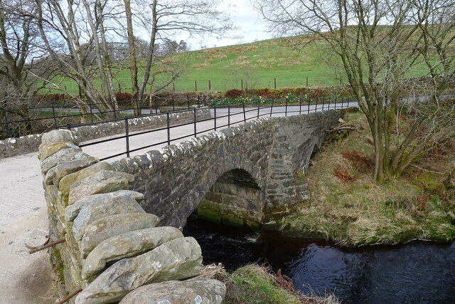
Grizedale Bridge
Grizedale Bridge is a Grade II listed bridge in the English parish of Over Wyresdale, Lancashire. The structure, which dates to the 19th century, carries...

Abbeystead House
Abbeystead House is a large country house to the east of the village of Abbeystead, Lancashire, England, some 12 km (7 miles) south-east of Lancaster....

William Molyneux, 4th Earl of Sefton
William Philip Molyneux, 4th Earl of Sefton, (14 October 1835 – 27 June 1897) was a British peer. == Biography == Born Viscount Molyneux, he was the eldest...

Abbeystead
Abbeystead is a small hamlet located in the Forest of Bowland Area of Outstanding Natural Beauty, in Lancashire, England. Abbeystead lies close to the...

Over Wyresdale
Over Wyresdale is a civil parish and a parish of the Church of England in the City of Lancaster in the English county of Lancashire. It has a population...

River Grizedale
The River Grizedale, also known as Grizedale Beck, is a river in Lancashire, England. The river rises at Grizedale Head between Abbeystead Fell, Cabin...

Wyresdale Abbey
Wyresdale Abbey was a short-lived medieval monastic house in Over Wyresdale, Lancashire, England. It was founded around 1170 or a little later and ceased...

Christ Church, Over Wyresdale
Christ Church, Over Wyresdale, stands in an isolated position to the west of the village of Abbeystead, Lancashire, England. The church is recorded in...
Nearby Amenities
Located within 500m of 53.991624,-2.6610566Have you been to Lower Lee?
Leave your review of Lower Lee below (or comments, questions and feedback).