Heck Plantation
Wood, Forest in Lancashire Lancaster
England
Heck Plantation
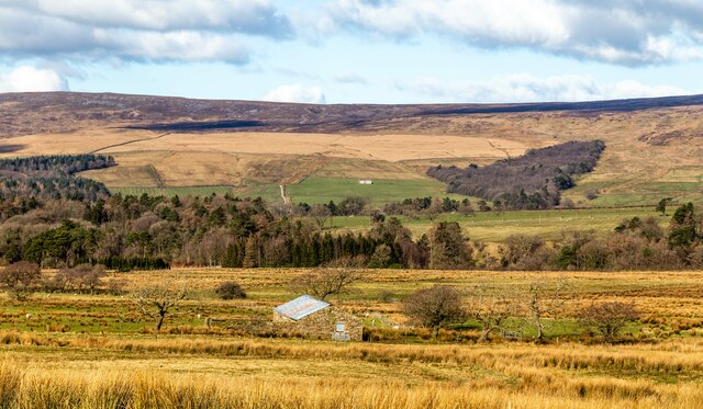
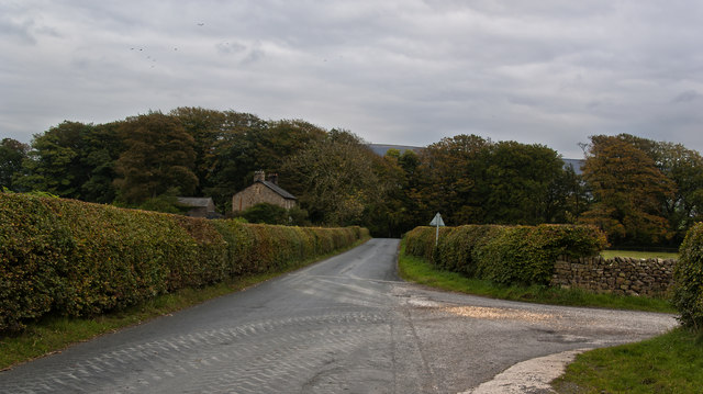
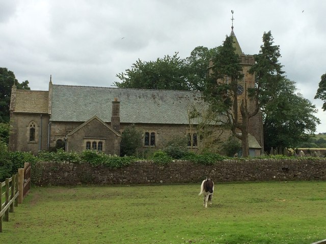
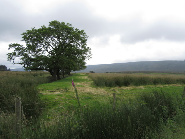
Heck Plantation is a picturesque woodland located in Lancashire, England. Situated near the town of Wood and surrounded by lush forests, it covers an area of approximately 100 acres. The plantation is known for its diverse range of flora and fauna, making it a popular destination for nature enthusiasts and hikers.
The woodland is predominantly composed of native tree species such as oak, birch, and beech, creating a rich and vibrant ecosystem. The dense canopy formed by these trees provides a haven for various species of birds, including woodpeckers and owls, making it an ideal spot for birdwatching.
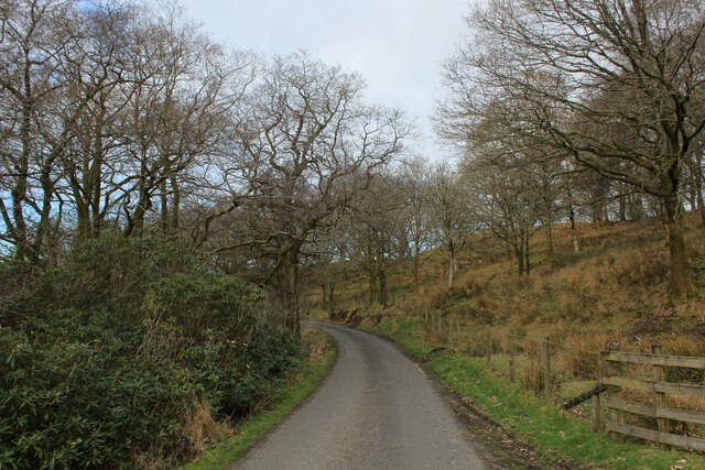
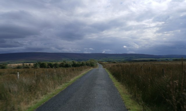
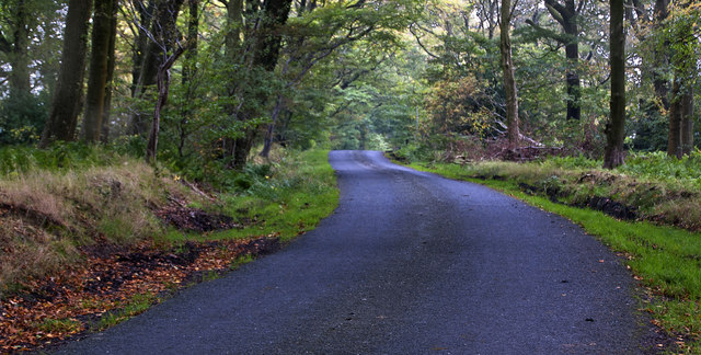
Heck Plantation boasts several well-maintained walking trails that allow visitors to explore its natural beauty. These trails wind through the woodland, offering breathtaking views of the surrounding landscape. Along the way, visitors may encounter small streams and ponds, adding to the serene atmosphere.
The plantation also has a designated picnic area, providing a perfect spot for visitors to relax and enjoy the tranquility of the surroundings. Additionally, there are several benches strategically placed throughout the woodland, allowing visitors to pause and take in the beauty of nature.
Heck Plantation is managed by the local authorities, who ensure the preservation of its natural habitat while providing a safe and enjoyable experience for visitors. The woodland is open to the public year-round, with no admission fees, making it a popular destination for families and outdoor enthusiasts alike.
In summary, Heck Plantation in Lancashire is a charming woodland retreat, offering a peaceful escape from the bustling city life. With its diverse wildlife, well-maintained trails, and serene atmosphere, it is a must-visit destination for those seeking a connection with nature.
If you have any feedback on the listing, please let us know in the comments section below.
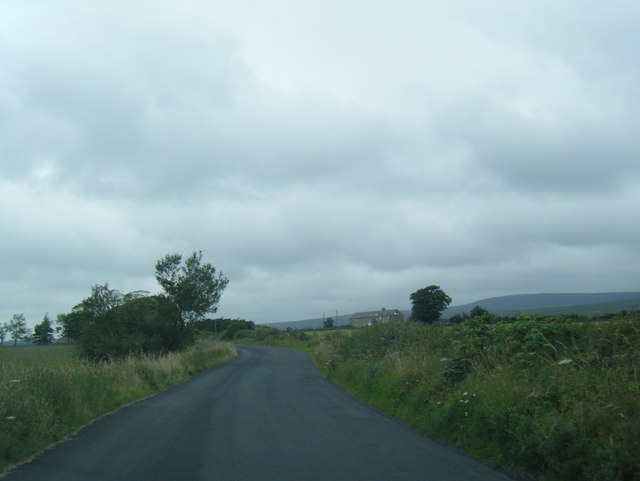
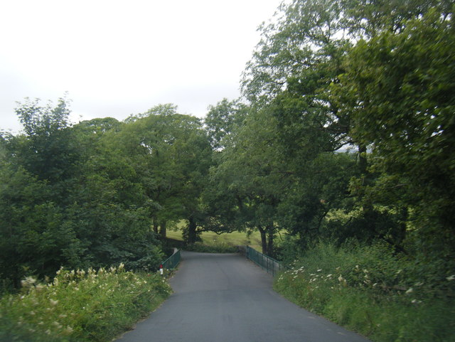
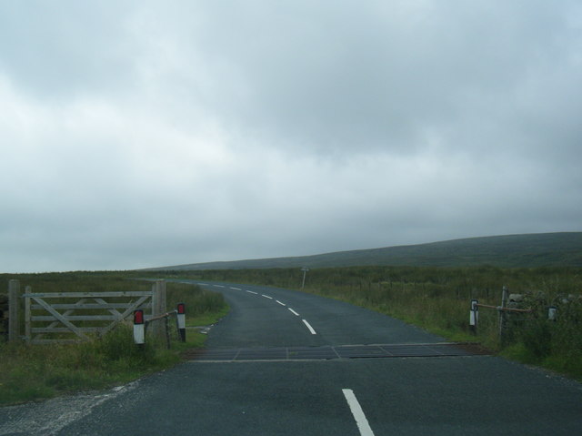
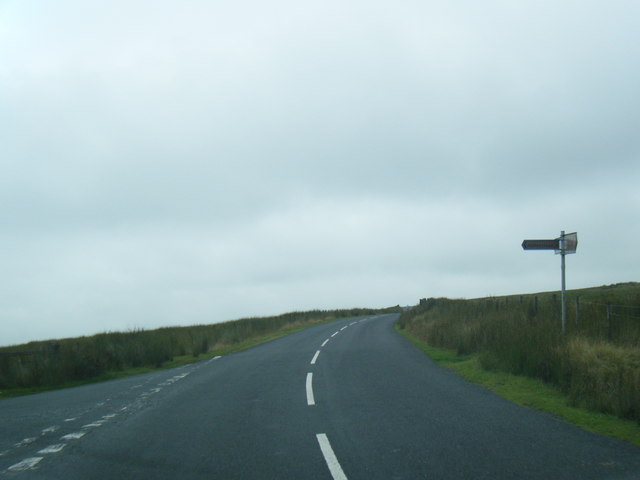
Heck Plantation Images
Images are sourced within 2km of 53.993869/-2.6696035 or Grid Reference SD5655. Thanks to Geograph Open Source API. All images are credited.
Heck Plantation is located at Grid Ref: SD5655 (Lat: 53.993869, Lng: -2.6696035)
Administrative County: Lancashire
District: Lancaster
Police Authority: Lancashire
What 3 Words
///throat.reader.fresh. Near Bay Horse, Lancashire
Nearby Locations
Related Wikis

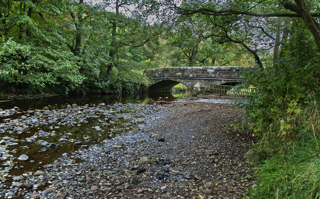
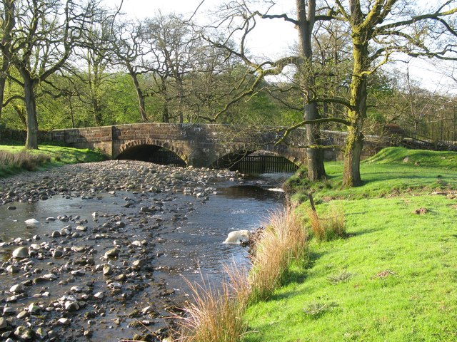
Grizedale Bridge
Grizedale Bridge is a Grade II listed bridge in the English parish of Over Wyresdale, Lancashire. The structure, which dates to the 19th century, carries...

River Grizedale
The River Grizedale, also known as Grizedale Beck, is a river in Lancashire, England. The river rises at Grizedale Head between Abbeystead Fell, Cabin...

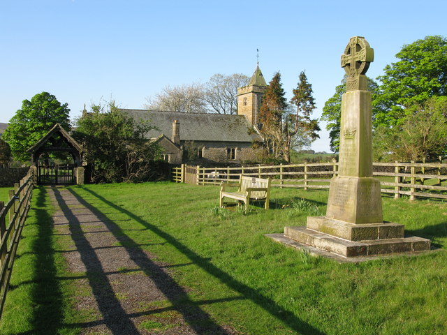
Abbeystead House
Abbeystead House is a large country house to the east of the village of Abbeystead, Lancashire, England, some 12 km (7 miles) south-east of Lancaster....

William Molyneux, 4th Earl of Sefton
William Philip Molyneux, 4th Earl of Sefton, (14 October 1835 – 27 June 1897) was a British peer. == Biography == Born Viscount Molyneux, he was the eldest...
Nearby Amenities
Located within 500m of 53.993869,-2.6696035Have you been to Heck Plantation?
Leave your review of Heck Plantation below (or comments, questions and feedback).