Vista Plantation
Wood, Forest in Lancashire
England
Vista Plantation
Vista Plantation is a picturesque woodland area located in the county of Lancashire, England. Situated in the heart of the county, this forested region offers a serene and tranquil escape from the hustle and bustle of city life. The plantation spans across a vast area, covering several hectares of land.
One of the most striking features of Vista Plantation is its dense and diverse woodland. Towering trees, such as oak, beech, and birch, dominate the landscape, creating a stunning canopy overhead. The forest floor is covered in a thick layer of moss and ferns, adding to the enchanting atmosphere.
Visitors to Vista Plantation can enjoy a range of outdoor activities. The plantation boasts an extensive network of trails, perfect for hiking or cycling. These well-maintained paths meander through the woodland, offering breathtaking views of the surrounding landscape. Nature enthusiasts will be delighted to discover a variety of wildlife inhabiting the area, including deer, rabbits, and a wide array of bird species.
For those seeking a more leisurely experience, Vista Plantation provides ample picnic spots and seating areas, allowing visitors to relax and soak in the peaceful ambiance. The plantation also offers educational programs and guided tours, providing visitors with an opportunity to learn about the local flora and fauna.
Overall, Vista Plantation in Lancashire is a haven for nature lovers and outdoor enthusiasts. With its majestic woodlands, scenic trails, and abundant wildlife, it offers a truly immersive and enriching experience for all who visit.
If you have any feedback on the listing, please let us know in the comments section below.
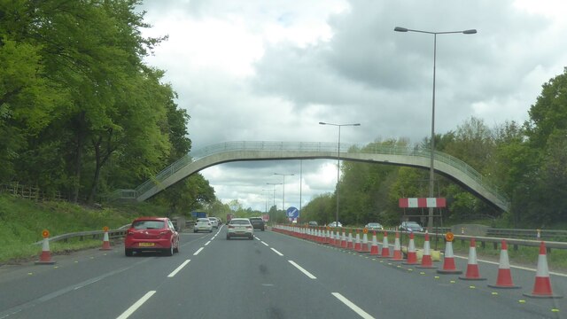
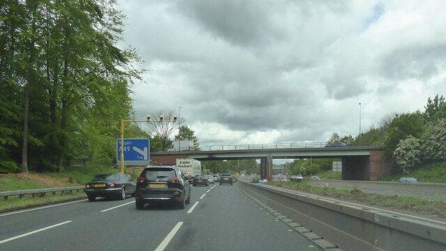
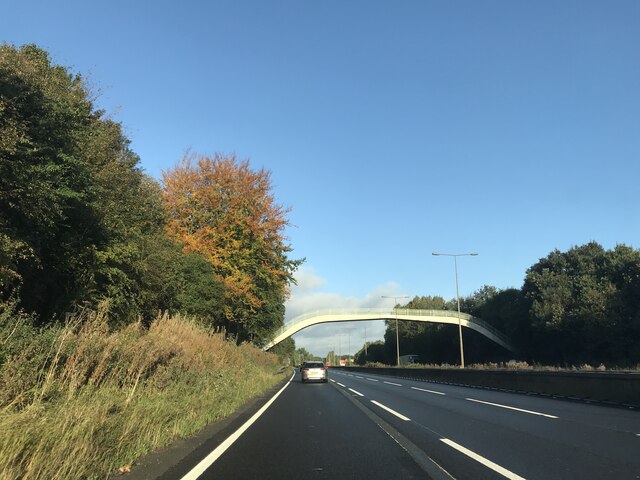
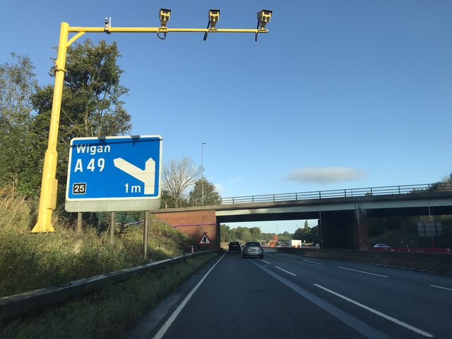
Vista Plantation Images
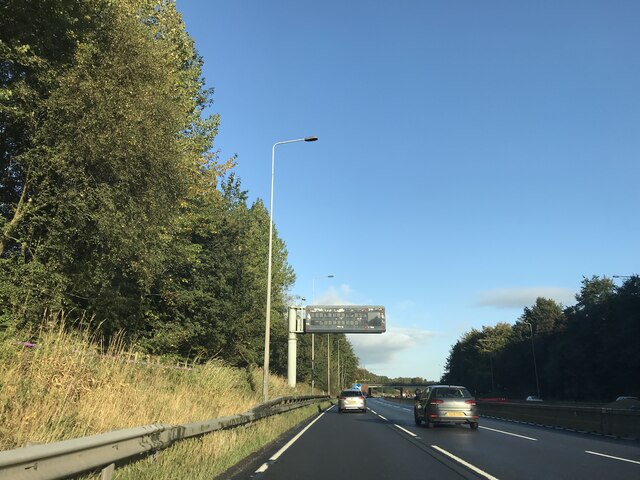
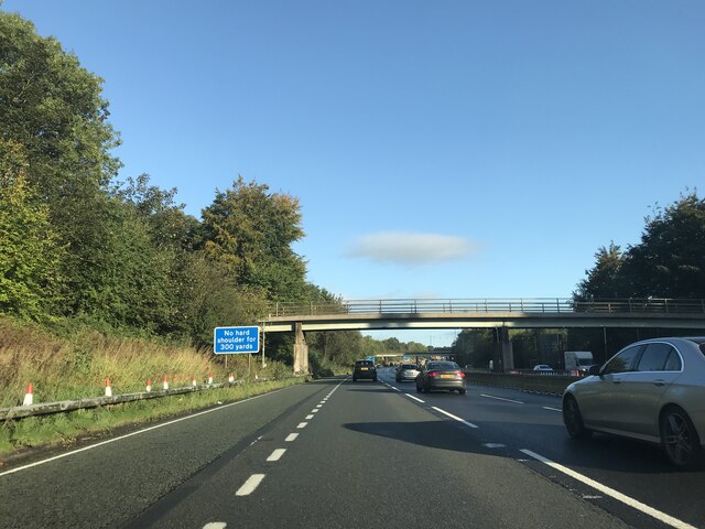
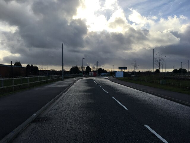
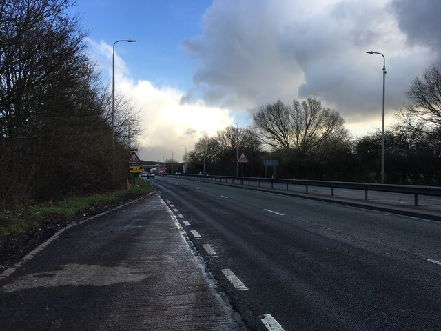
Images are sourced within 2km of 53.481782/-2.6616003 or Grid Reference SJ5698. Thanks to Geograph Open Source API. All images are credited.


Vista Plantation is located at Grid Ref: SJ5698 (Lat: 53.481782, Lng: -2.6616003)
Unitary Authority: St. Helens
Police Authority: Merseyside
What 3 Words
///apple.dock.dozed. Near Ashton in Makerfield, Manchester
Nearby Locations
Related Wikis
Garswood
Garswood is a village in the Metropolitan Borough of St. Helens, Merseyside, England. The village is within the civil parish of Seneley Green. The parish...

Garswood railway station
Garswood railway station serves the village of Garswood in the Metropolitan Borough of St Helens, Merseyside, England. It is situated on the electrified...
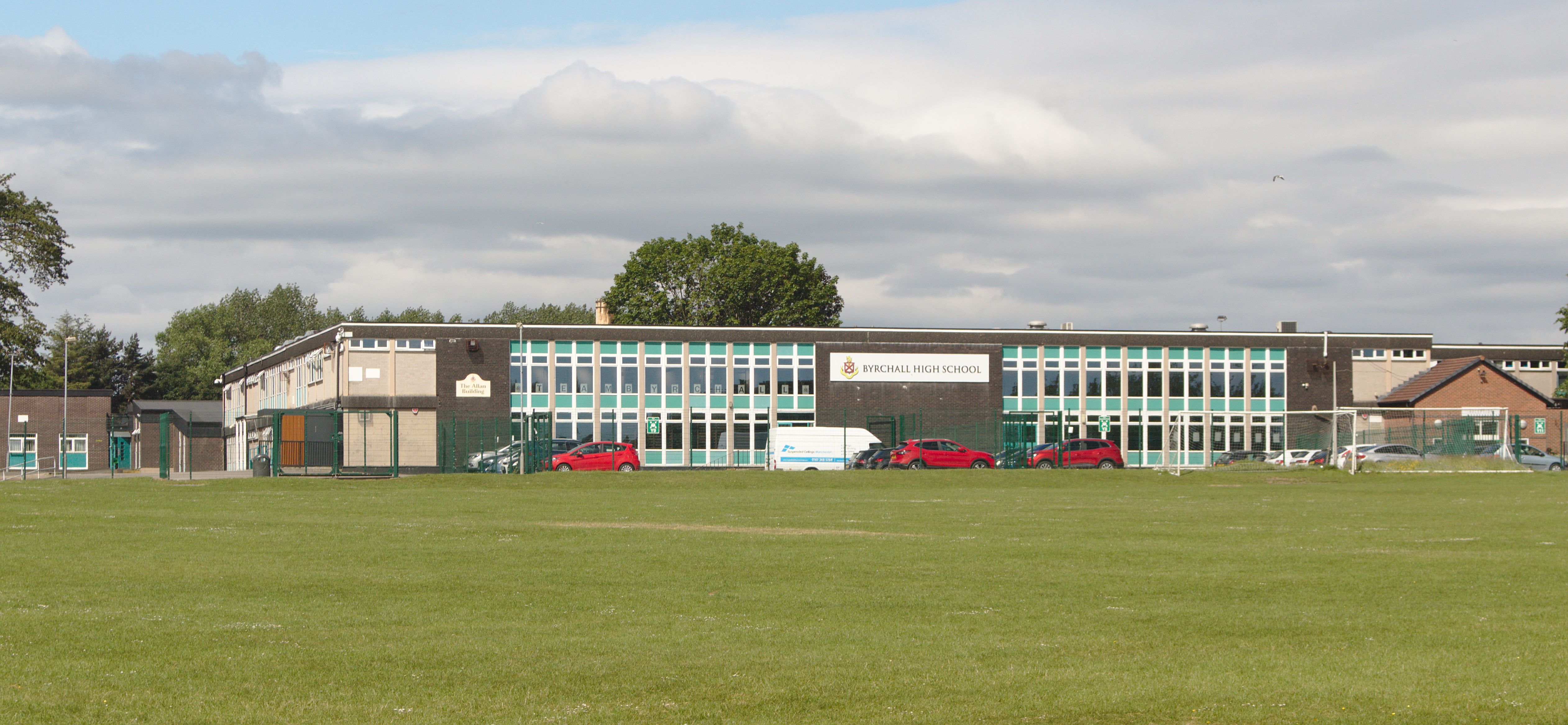
Byrchall High School
Byrchall High School is a secondary school and specialist mathematics and computing school with academy status, in the Ashton-in-Makerfield area of the...
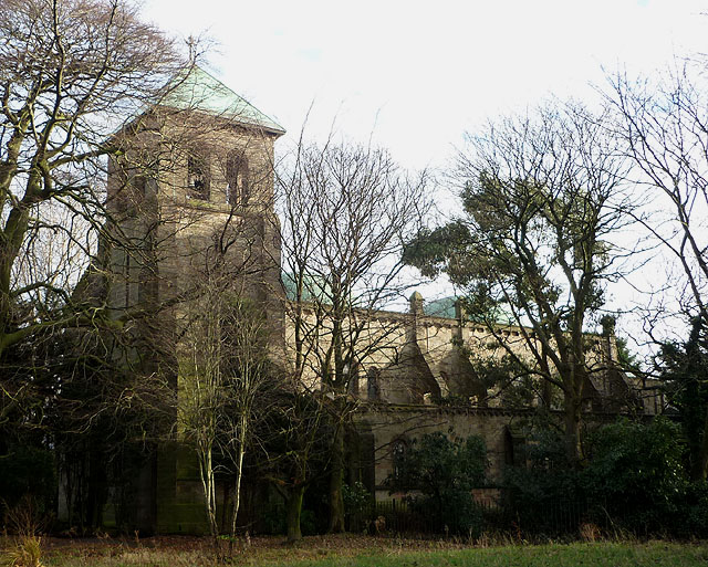
Catholic Church of St Oswald and St Edmund Arrowsmith
The Catholic Church of St Oswald and St Edmund Arrowsmith is located on Liverpool Road in Ashton-in-Makerfield, Greater Manchester, England. == Building... ==
Nearby Amenities
Located within 500m of 53.481782,-2.6616003Have you been to Vista Plantation?
Leave your review of Vista Plantation below (or comments, questions and feedback).