Launcherley Wood
Wood, Forest in Somerset Mendip
England
Launcherley Wood
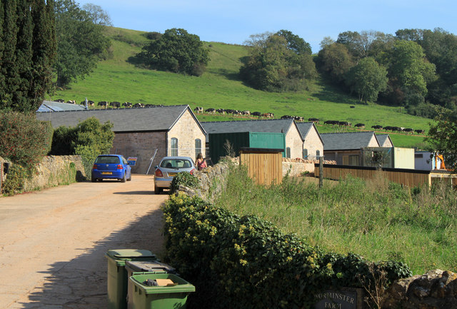
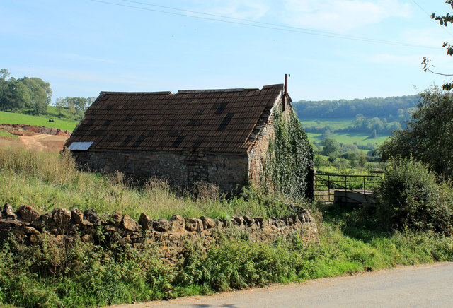
Launcherley Wood is a picturesque woodland located in Somerset, England. Spanning an area of approximately 50 hectares, it is nestled within the scenic landscape of the Somerset Levels and Moors, near the village of Curry Rivel. The wood is known for its diverse range of flora and fauna, making it an important site for conservation.
The woodland primarily consists of mixed broadleaf trees, including oak, ash, and beech, creating a dense canopy that provides shade and shelter for the various plant and animal species that inhabit the area. Bluebells carpet the forest floor in the spring, creating a stunning display of vibrant colors. Additionally, the wood is home to a wide variety of bird species, such as woodpeckers, owls, and thrushes, which can be spotted and heard throughout the year.
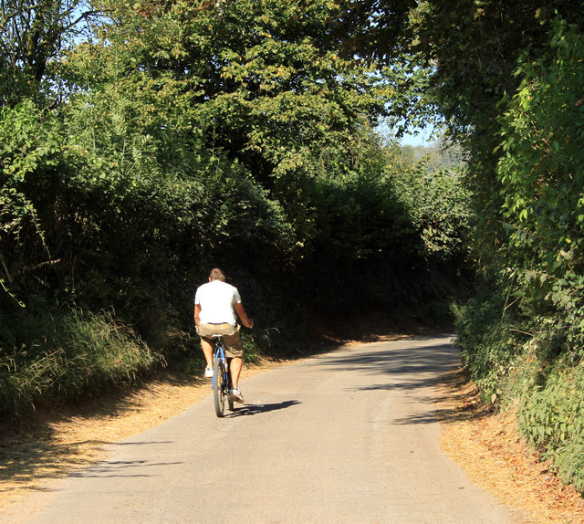
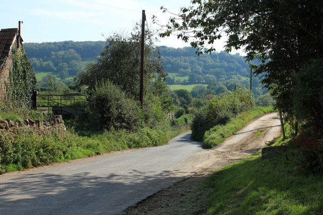
Launcherley Wood offers visitors the opportunity to immerse themselves in nature and enjoy tranquil walks along its well-maintained paths. There are also designated picnic areas where visitors can relax and soak in the peaceful atmosphere. The wood is open to the public year-round, attracting nature enthusiasts, families, and avid walkers alike.
Managed by the local forestry commission, Launcherley Wood is committed to preserving its natural beauty and ensuring the protection of its wildlife. The wood plays an important role in the local ecosystem, providing a habitat for various species and contributing to the overall biodiversity of the area.
Overall, Launcherley Wood is a cherished natural gem in Somerset, offering a serene and enchanting experience for those who seek solace in the beauty of the outdoors.
If you have any feedback on the listing, please let us know in the comments section below.
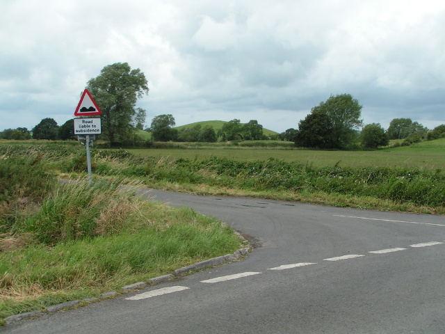
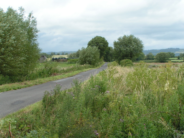
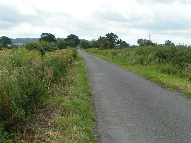
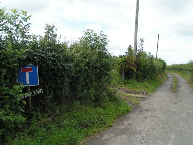
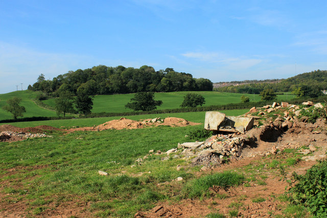
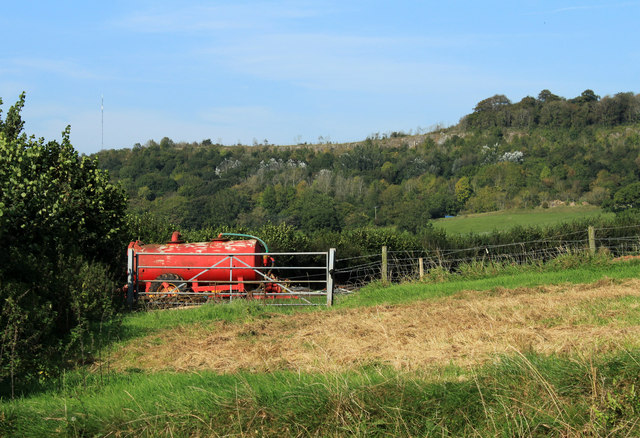
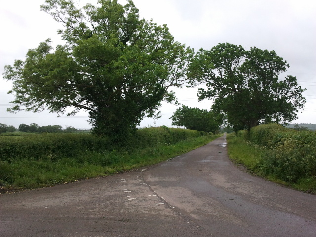
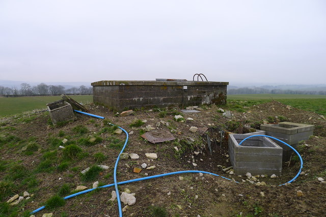
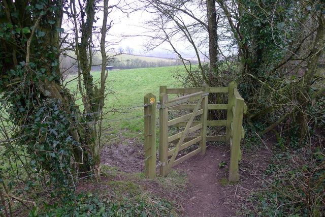
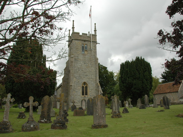
Launcherley Wood Images
Images are sourced within 2km of 51.184236/-2.6394839 or Grid Reference ST5542. Thanks to Geograph Open Source API. All images are credited.


Launcherley Wood is located at Grid Ref: ST5542 (Lat: 51.184236, Lng: -2.6394839)
Administrative County: Somerset
District: Mendip
Police Authority: Avon and Somerset
What 3 Words
///establish.establish.vibes. Near Wells, Somerset
Nearby Locations
Related Wikis

Twinhills Woods and Meadows
Twinhills Woods and Meadows (grid reference ST558432) is a 21.2 hectare (52.4 acre) biological Site of Special Scientific Interest on the Monarch's Way...

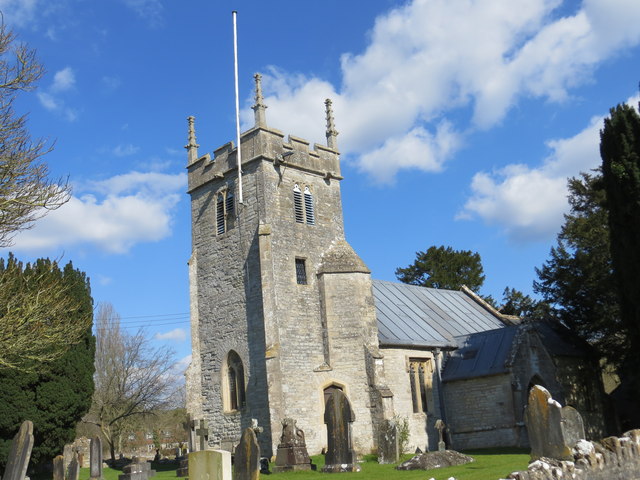
Church of St Peter, North Wootton
The Anglican Church of St Peter in North Wootton, Somerset, England was built in the 14th or 15th century. It is a Grade II* listed building. == History... ==

Dulcote Quarry
Dulcote Quarry is a disused limestone quarry at Dulcote, near Wells on the Mendip Hills, Somerset, England. The quarry measures around 600 metres (2,000...

Wells East Somerset railway station
Wells station in the Somerset city of Wells was the terminus of the East Somerset Railway line from Witham and opened when the line was extended from Shepton...
North Wootton, Somerset
North Wootton is a village and civil parish, on the River Redlake, 2.5 miles (4.0 km) south east of Wells, and 3.5 miles (5.6 km) south west of Shepton...
Wells City F.C.
Wells City F.C. are a football club based in Wells, Somerset, England. The club is affiliated to the Somerset County FA. They are currently members of...

Rowdens Road Cricket Ground, Wells
Rowdens Road is a former first-class cricket ground located in Wells, Somerset. The ground was an early home to Wells Cricket Club, though the club no...
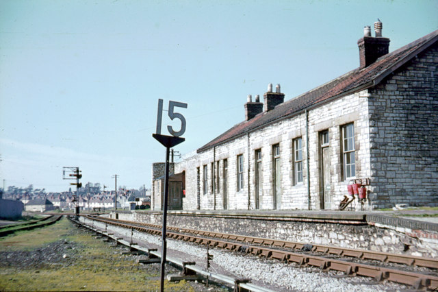
Wells (Priory Road) railway station
Wells (Priory Road) was a railway station on the Somerset and Dorset Joint Railway at Wells in the county of Somerset in England. Opening on 15 March 1859...
Nearby Amenities
Located within 500m of 51.184236,-2.6394839Have you been to Launcherley Wood?
Leave your review of Launcherley Wood below (or comments, questions and feedback).