Caudwell Wood

Wood, Forest in Gloucestershire Forest of Dean

England

Caudwell Wood

Towards the centre of Clearwell The red phonebox on the right is opposite this <a title="https://www.geograph.org.uk/photo/4400603" href="https://www.geograph.org.uk/photo/4400603">Link</a> medieval cross.
Towards the centre of Clearwell Credit: Jaggery

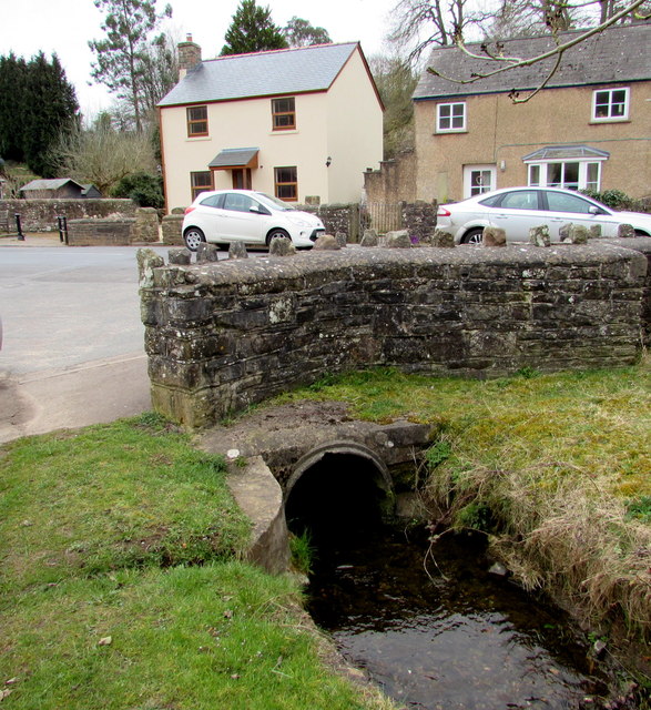
Caudwell Wood is a picturesque woodland located in the county of Gloucestershire, England. Situated near the village of Chalford, it covers an area of approximately 20 acres and is part of the larger Forest of Dean.

The wood is known for its diverse range of tree species, including oak, beech, ash, and birch, which create a vibrant and enchanting atmosphere throughout the year. The trees form a dense canopy, providing shade and shelter for a variety of wildlife that call the wood their home. Visitors can often spot squirrels, badgers, foxes, and a myriad of bird species, making it a popular destination for nature enthusiasts and birdwatchers.

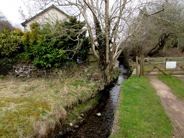
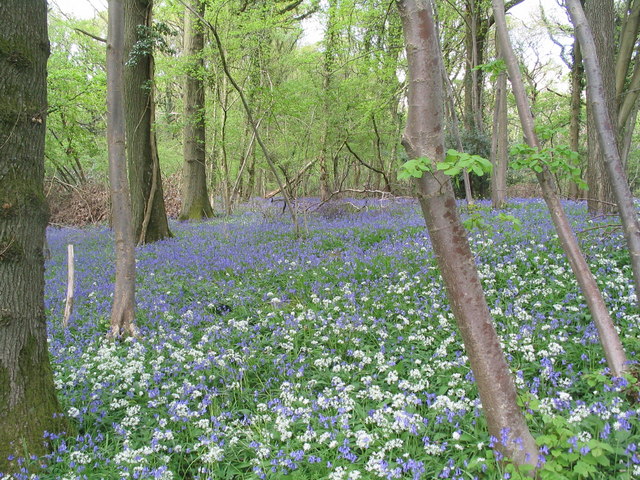
Walking trails meander through the wood, offering visitors the chance to explore its beauty and tranquility. The pathways are well-maintained and provide easy access for all, including families with young children and those with mobility limitations. Along the trails, visitors can discover hidden clearings, babbling brooks, and patches of bluebells during springtime.

Caudwell Wood also holds cultural significance, as it was once part of a larger ancient hunting forest. The area is steeped in history, with evidence of human activity dating back to Roman times. Archaeological remains, including Iron Age hill forts and medieval settlements, can be found nearby, adding to the allure and intrigue of the wood.

Overall, Caudwell Wood offers a serene and captivating experience for those seeking solace in nature's embrace. Whether one is a wildlife enthusiast, history buff, or simply seeking a peaceful escape, this wood is a hidden gem waiting to be discovered in the heart of Gloucestershire.

If you have any feedback on the listing, please let us know in the comments section below.

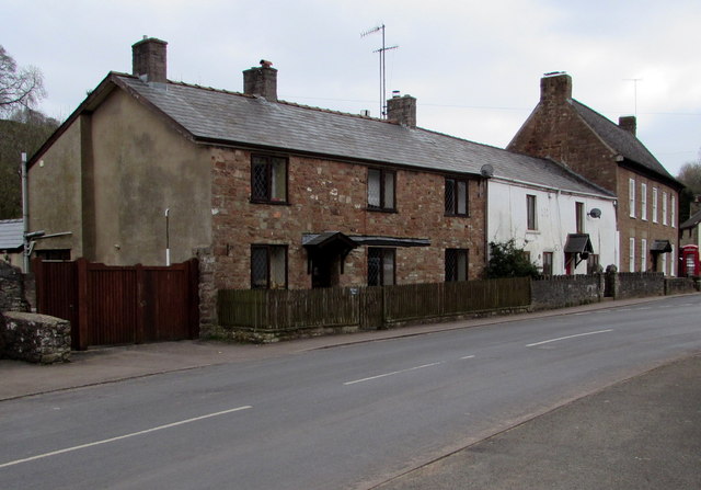
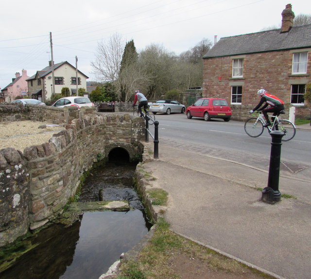
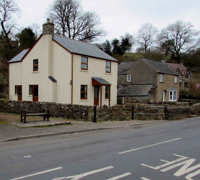
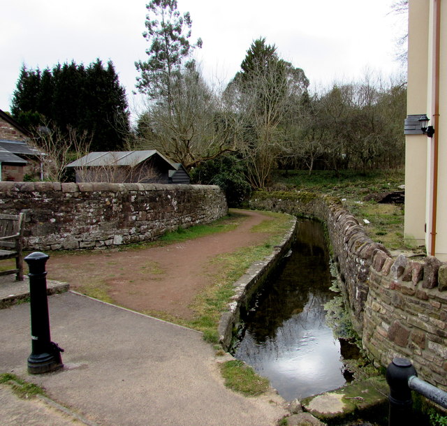
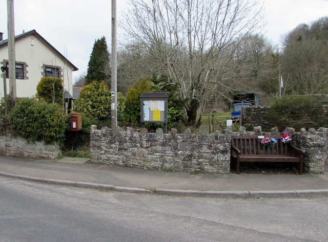
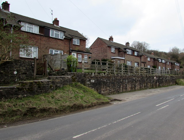
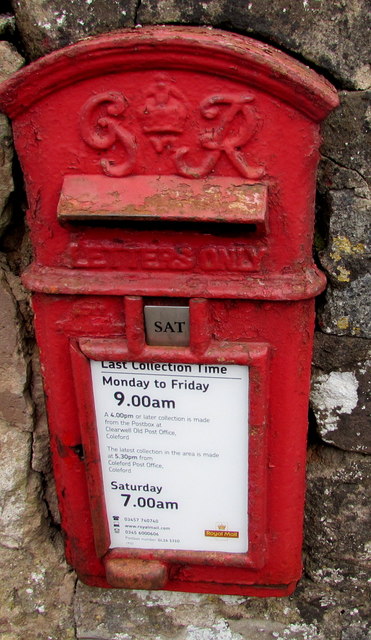
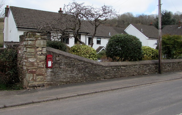
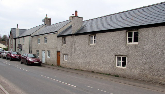
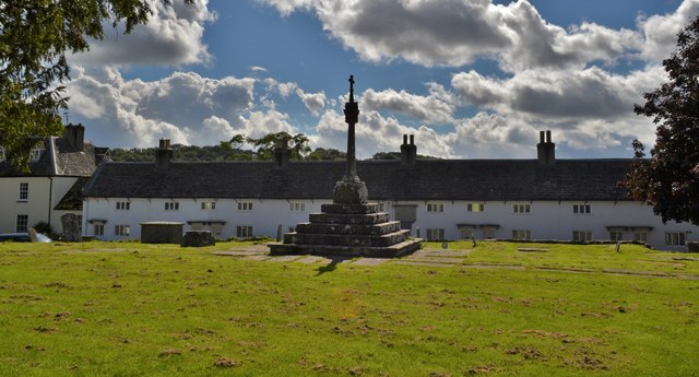
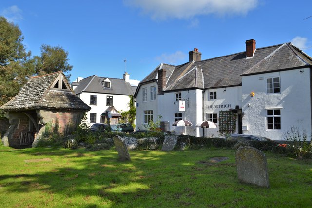
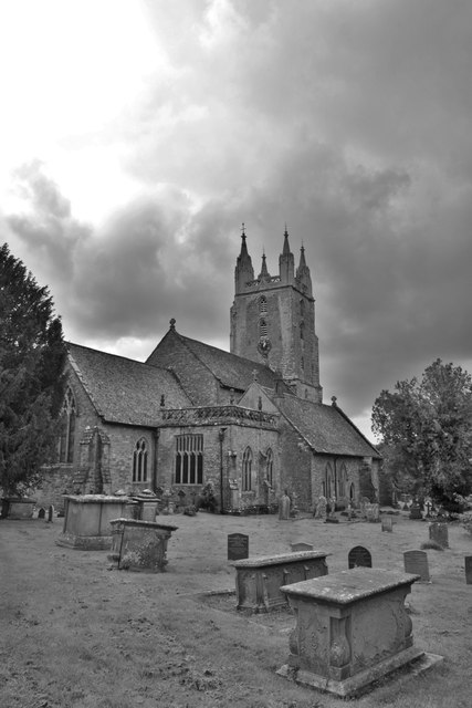
Caudwell Wood Images

Images are sourced within 2km of 51.765985/-2.6477175 or Grid Reference SO5507. Thanks to Geograph Open Source API. All images are credited.

Towards the centre of Clearwell The red phonebox on the right is opposite this <a title="https://www.geograph.org.uk/photo/4400603" href="https://www.geograph.org.uk/photo/4400603">Link</a> medieval cross.
Towards the centre of Clearwell
The red phonebox on the right is opposite this Link medieval cross.
Cycling through Clearwell Two Sunday cyclists head away from the centre of the village.
Cycling through Clearwell
Two Sunday cyclists head away from the centre of the village.
Recently-built house in Clearwell Viewed in March 2015. The house on the left does not appear in a July 2009 Google Earth Street View.
Recently-built house in Clearwell
Viewed in March 2015. The house on the left does not appear in a July 2009 Google Earth Street View.
Valley Brook, Clearwell Here in an artificial channel past a wall.
Valley Brook, Clearwell
Here in an artificial channel past a wall.
Brook and gate, Clearwell Valley Brook at the edge of Brook Farm.
Brook and gate, Clearwell
Valley Brook at the edge of Brook Farm.
Valley Brook culvert, Clearwell The culvert is under the main road through the village.
Valley Brook culvert, Clearwell
The culvert is under the main road through the village.
Newland Parish Council noticeboard in Clearwell In March 2015, the yellow notice opposes a proposed Clearwell Quarry expansion by Breedons.
Newland Parish Council noticeboard in Clearwell
In March 2015, the yellow notice opposes a proposed Clearwell Quarry expansion by Breedons.
Queen Elizabeth II postbox in Clearwell Located here. <a title="https://www.geograph.org.uk/photo/4632978" href="https://www.geograph.org.uk/photo/4632978">Link</a>
Queen Elizabeth II postbox in Clearwell
Located here. Link
Postbox, noticeboard and bench in Clearwell On the north side of the main road through the village. The postbox is Elizabethan. <a title="https://www.geograph.org.uk/photo/4632977" href="https://www.geograph.org.uk/photo/4632977">Link</a>
Postbox, noticeboard and bench in Clearwell
On the north side of the main road through the village. The postbox is Elizabethan. Link
Wainland Place, Clearwell  Houses above the main road through the village.
Wainland Place, Clearwell
Houses above the main road through the village.
King George VI postbox in a Clearwell wall Located in the wall here. <a title="https://www.geograph.org.uk/photo/4632982" href="https://www.geograph.org.uk/photo/4632982">Link</a>
In March 2015, the notice shows that the last collection from this box 
is at 9am on Mondays to Fridays and as early as 7am on Saturday. 
In November 2008 <a title="https://www.geograph.org.uk/photo/1045700" href="https://www.geograph.org.uk/photo/1045700">Link</a> the times shown were 4.30pm and 9am. 
Royal Mail's idea of "service" has been to make collection times earlier
and earlier each day while deliveries of letters get later and later....
King George VI postbox in a Clearwell wall
Located in the wall here. Link In March 2015, the notice shows that the last collection from this box is at 9am on Mondays to Fridays and as early as 7am on Saturday. In November 2008 Link the times shown were 4.30pm and 9am. Royal Mail's idea of "service" has been to make collection times earlier and earlier each day while deliveries of letters get later and later....
King George VI postbox in Clearwell  <a title="https://www.geograph.org.uk/photo/4632981" href="https://www.geograph.org.uk/photo/4632981">Link</a> to a closer view.
King George VI postbox in Clearwell
Link to a closer view.
Grade II listed cottages in Clearwell Located near the corner of Pingry Lane and Stank Farm (ahead), the cottages 
probably date from the 16th century, later remodelled. Grade II listed in 1999.
Grade II listed cottages in Clearwell
Located near the corner of Pingry Lane and Stank Farm (ahead), the cottages probably date from the 16th century, later remodelled. Grade II listed in 1999.
Newland Almshouses With the magnificent cross in the foreground
Newland Almshouses
With the magnificent cross in the foreground
The Ostrich, Newland An ancient inn from the 17th century. Many of the occupants of the centuries old graves opposite could well have drunk there!
The Ostrich, Newland
An ancient inn from the 17th century. Many of the occupants of the centuries old graves opposite could well have drunk there!
Newland Parish Church The 'cathedral of the forest'
Newland Parish Church
The 'cathedral of the forest'
Approaching Clearwell A village on the edge of the Forest Of Dean
Approaching Clearwell
A village on the edge of the Forest Of Dean
Waiting For A Wedding At Clearwell A lovely sight outside the church!
Waiting For A Wedding At Clearwell
A lovely sight outside the church!
Show me another place!

Caudwell Wood is located at Grid Ref: SO5507 (Lat: 51.765985, Lng: -2.6477175)

Administrative County: Gloucestershire

District: Forest of Dean

Police Authority: Gloucestershire

What 3 Words

///brilliant.witless.learns. Near Coleford, Gloucestershire

Related Wikis

Astridge Wood

Astridge Wood (grid reference SO547088) is a 19.42-hectare (48.0-acre) biological Site of Special Scientific Interest in Gloucestershire, England, notified...
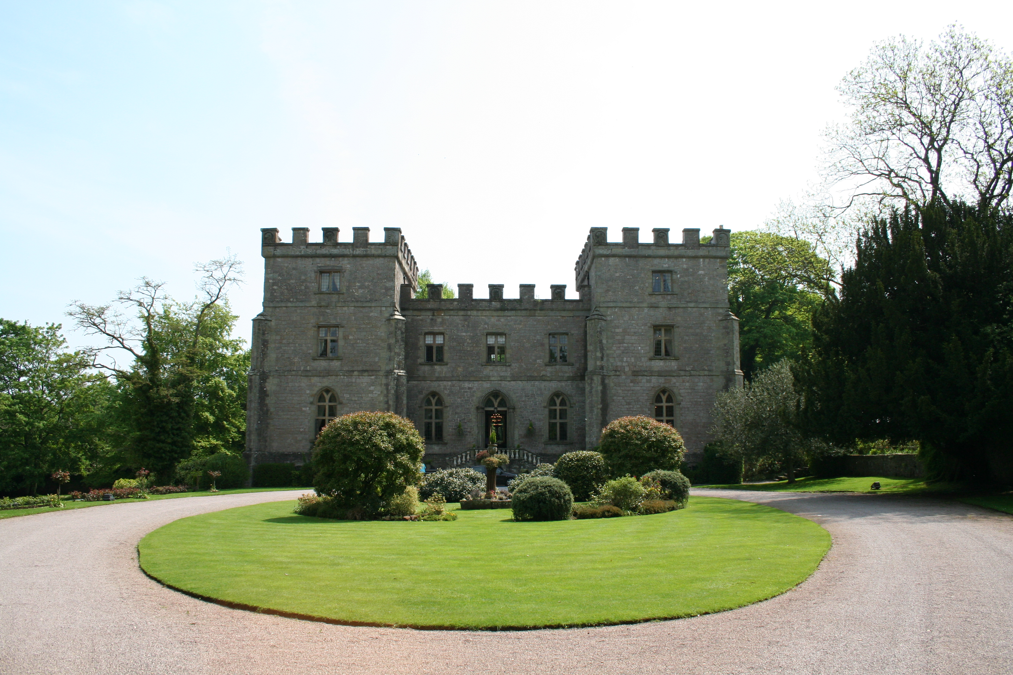
Clearwell Castle

Clearwell Castle in Clearwell, the Forest of Dean, Gloucestershire, is a Gothic Revival house constructed from 1727. Built by Thomas Wyndham to the designs...

Stow Green, St Briavels

Stow Green Castle, also known as Castle Tump, was a castle near the village of St Briavels in Gloucestershire, England. The castle is believed to have...
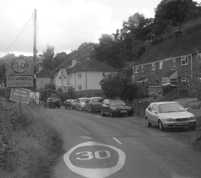
Clearwell

Clearwell (anciently "Clower-Wall" etc.) is a village and former ancient manor in the Forest of Dean, West Gloucestershire, England. A recent survey indicated...

Highbury Wood

Highbury Wood (grid reference SO540086) is a 50.74-hectare (125.4-acre) biological Site of Special Scientific Interest in Gloucestershire, notified in...

Newland, Gloucestershire

Newland is a village and civil parish in the Forest of Dean in Gloucestershire, England. situated on the east side of the River Wye, 3 miles (5 km) south...
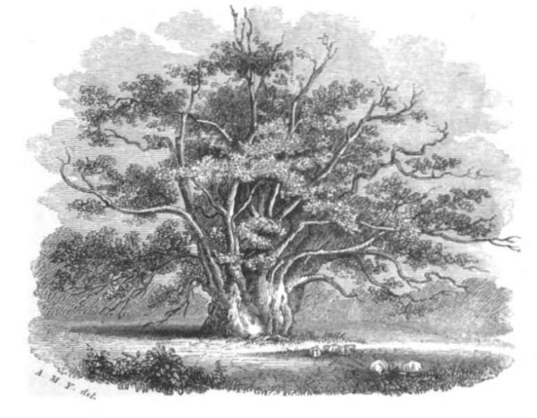
Newland Oak

The Newland Oak was a veteran oak tree in Newland, Gloucestershire in England. Originally part of the ancient woodland of the Forest of Dean, it survived...

Bigsweir Woods

Bigsweir Woods (grid reference SO546060) is a 48.16-hectare (119.0-acre) biological Site of Special Scientific Interest in Gloucestershire, notified in...

Nearby Amenities

Located within 500m of 51.765985,-2.6477175
Generator Method: photovoltaic
Generator Output Electricity: yes
Generator Source: solar
Generator Type: solar_photovoltaic_panel
Location: roof
Power: generator
Lat/Long: 51.7619177/-2.6507932
Generator Method: photovoltaic
Generator Output Electricity: yes
Generator Source: solar
Generator Type: solar_photovoltaic_panel
Location: roof
Power: generator
Lat/Long: 51.7619758/-2.6506859
The data included in this document is from www.openstreetmap.org. The data is made available under ODbL.

Have you been to Caudwell Wood?

Leave your review of Caudwell Wood below (or comments, questions and feedback).