Launcherley Hill
Hill, Mountain in Somerset Mendip
England
Launcherley Hill
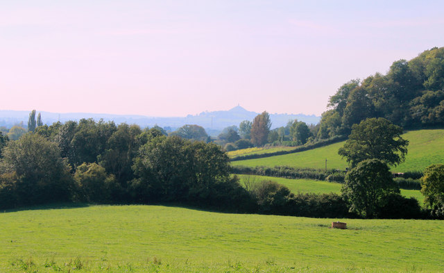
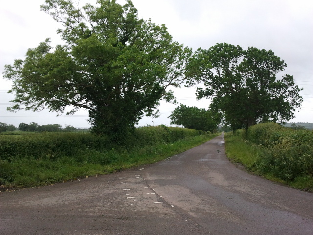
Launcherley Hill is a prominent geographical feature located in Somerset, England. It is classified as a hill, rather than a mountain, with an elevation of approximately 154 meters (505 feet) above sea level. The hill is situated in the Mendip Hills Area of Outstanding Natural Beauty, offering stunning panoramic views of the surrounding countryside.
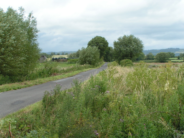
Launcherley Hill is characterized by its gently rolling landscape, covered in lush green grasslands and scattered with patches of woodland. The hill is primarily composed of limestone, which is a common geological formation in the Mendip Hills.
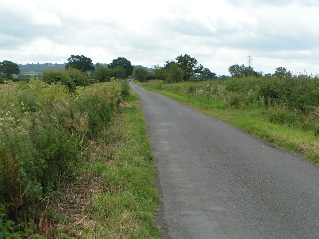
The area surrounding Launcherley Hill is home to a diverse range of plant and animal species, making it a haven for wildlife enthusiasts and nature lovers. The hill provides habitat for various bird species, including skylarks and kestrels, as well as numerous butterflies and wildflowers during the summer months.
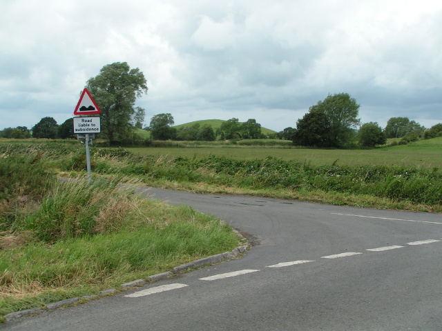
The hill is easily accessible to visitors, with footpaths and trails leading to its summit. Hikers and walkers are attracted to Launcherley Hill for its peaceful ambiance and breathtaking views. On clear days, it is possible to see as far as the Bristol Channel and the Welsh coastline from the summit.
Launcherley Hill also holds historical significance, with evidence of prehistoric occupation in the form of burial mounds and ancient settlements. The hill has been a site of human activity for centuries, and its cultural heritage adds an extra layer of intrigue to its natural beauty.
In summary, Launcherley Hill is a picturesque and culturally significant hill in Somerset, offering stunning views, diverse wildlife, and a tranquil escape for visitors.
If you have any feedback on the listing, please let us know in the comments section below.
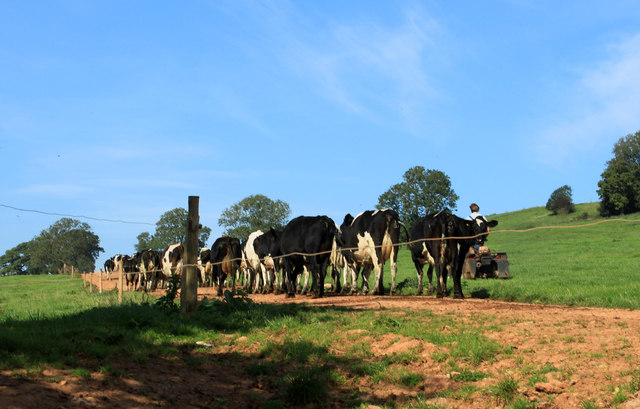
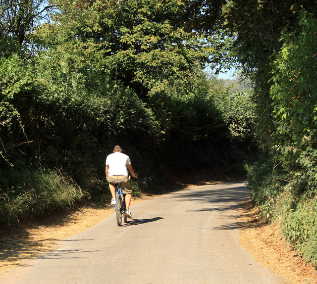
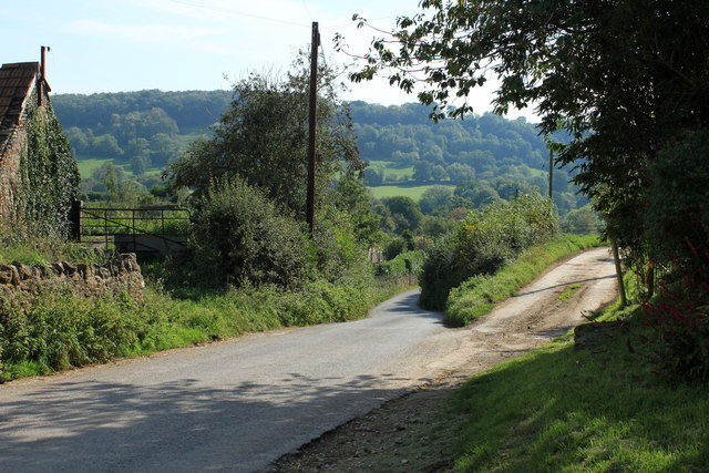
Launcherley Hill Images
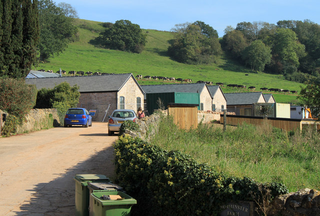
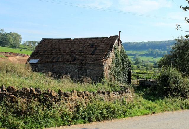
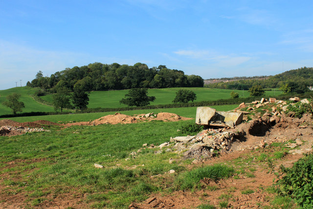
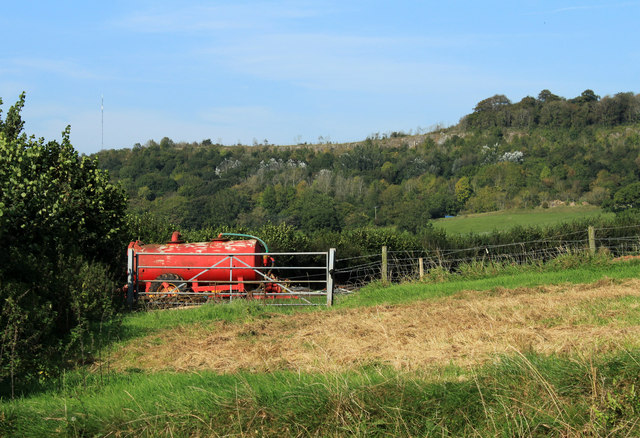
Images are sourced within 2km of 51.183825/-2.6372892 or Grid Reference ST5542. Thanks to Geograph Open Source API. All images are credited.


Launcherley Hill is located at Grid Ref: ST5542 (Lat: 51.183825, Lng: -2.6372892)
Administrative County: Somerset
District: Mendip
Police Authority: Avon and Somerset
What 3 Words
///changing.meant.raven. Near Wells, Somerset
Nearby Locations
Related Wikis

Twinhills Woods and Meadows
Twinhills Woods and Meadows (grid reference ST558432) is a 21.2 hectare (52.4 acre) biological Site of Special Scientific Interest on the Monarch's Way...

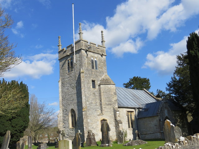
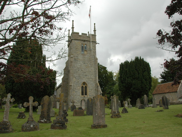
Church of St Peter, North Wootton
The Anglican Church of St Peter in North Wootton, Somerset, England was built in the 14th or 15th century. It is a Grade II* listed building. == History... ==
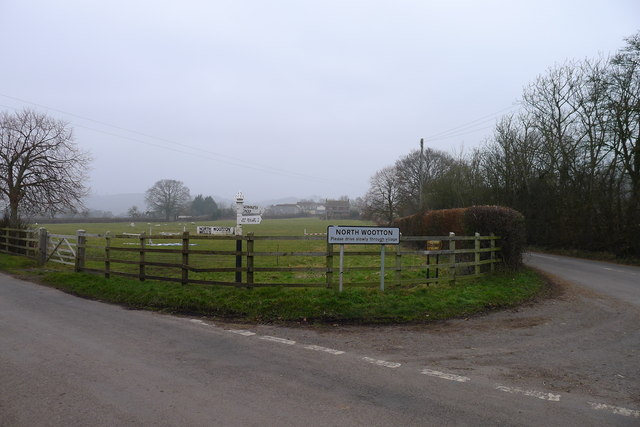
North Wootton, Somerset
North Wootton is a village and civil parish, on the River Redlake, 2.5 miles (4.0 km) south east of Wells, and 3.5 miles (5.6 km) south west of Shepton...

Dulcote Quarry
Dulcote Quarry is a disused limestone quarry at Dulcote, near Wells on the Mendip Hills, Somerset, England. The quarry measures around 600 metres (2,000...

Wells East Somerset railway station
Wells station in the Somerset city of Wells was the terminus of the East Somerset Railway line from Witham and opened when the line was extended from Shepton...
Wells City F.C.
Wells City F.C. are a football club based in Wells, Somerset, England. The club is affiliated to the Somerset County FA. They are currently members of...

Rowdens Road Cricket Ground, Wells
Rowdens Road is a former first-class cricket ground located in Wells, Somerset. The ground was an early home to Wells Cricket Club, though the club no...
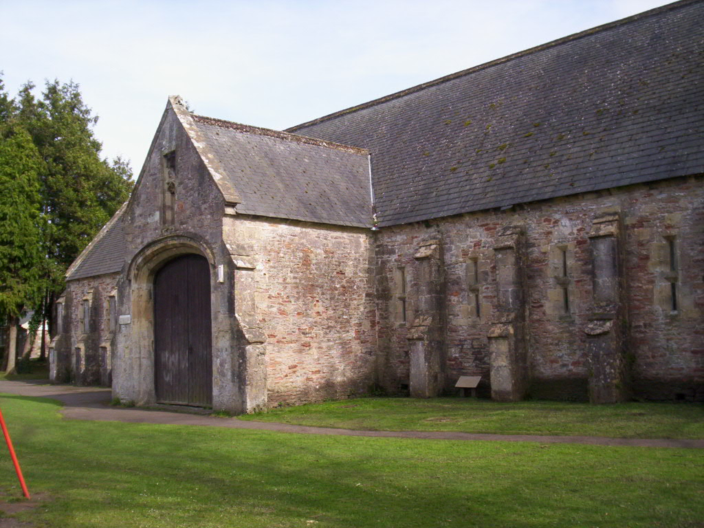
The Bishop's Barn, Wells
The Bishop's Barn in Silver Street, Wells, Somerset, England, was built as a tithe barn in the 15th century. It has been designated as a Grade I listed...
Nearby Amenities
Located within 500m of 51.183825,-2.6372892Have you been to Launcherley Hill?
Leave your review of Launcherley Hill below (or comments, questions and feedback).