Barrow Hill
Hill, Mountain in Somerset Mendip
England
Barrow Hill
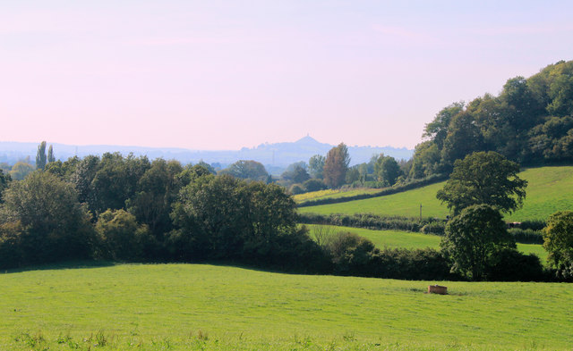
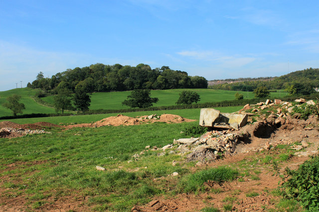
Barrow Hill is a prominent hill located in the county of Somerset, in southwestern England. Rising to an elevation of approximately 315 meters (1,033 feet), it is a notable landmark in the region, offering stunning views of the surrounding countryside. The hill is situated within the Mendip Hills, a designated Area of Outstanding Natural Beauty.
Barrow Hill is renowned for its rich archaeological history. The hill is home to several ancient burial mounds, or barrows, dating back to the Neolithic period, around 4,000 to 2,500 BC. These burial sites have provided valuable insights into the lives and rituals of the early settlers in the area. One particularly significant discovery was the excavation of the Banwell Caves, located on the southern slope of Barrow Hill, which revealed evidence of human habitation dating back over 10,000 years.
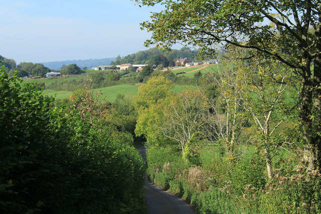
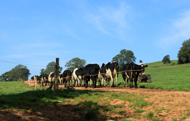
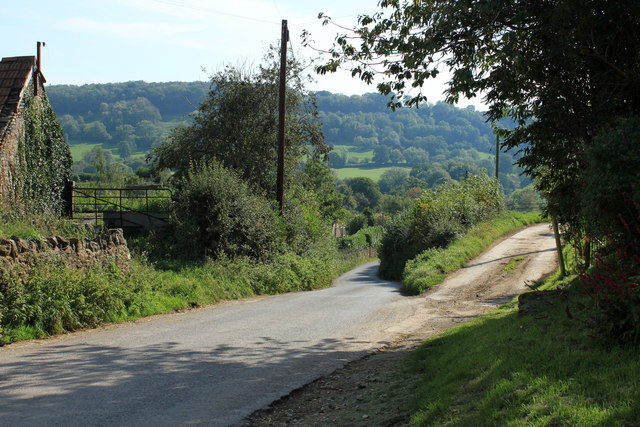
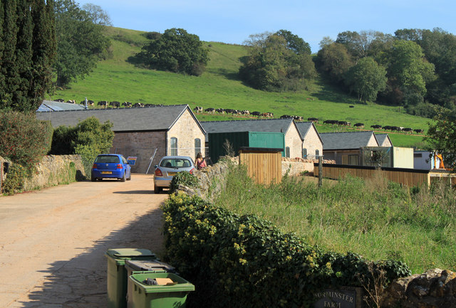
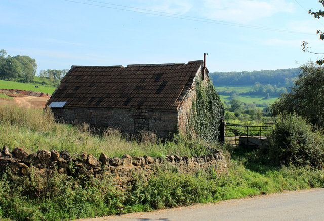
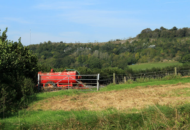
The hill itself is covered in a variety of habitats, including grassland, woodland, and scrub. This diverse ecosystem supports a wide range of plant and animal species, making it a popular destination for nature enthusiasts and hikers. The surrounding area offers several walking trails that lead visitors through the picturesque landscapes, allowing them to explore the natural beauty of the region.
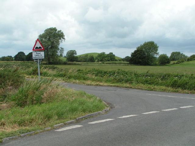
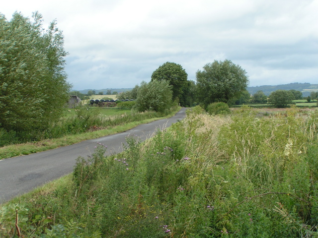
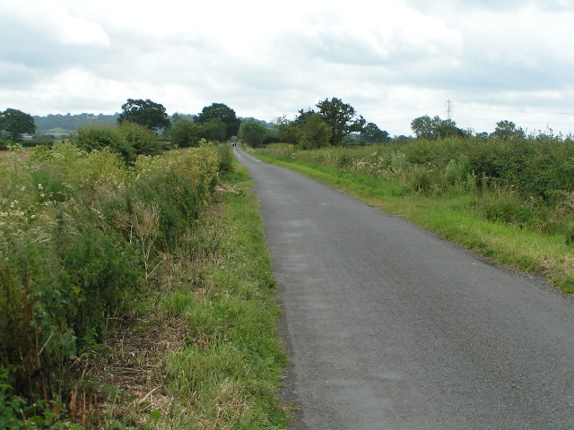
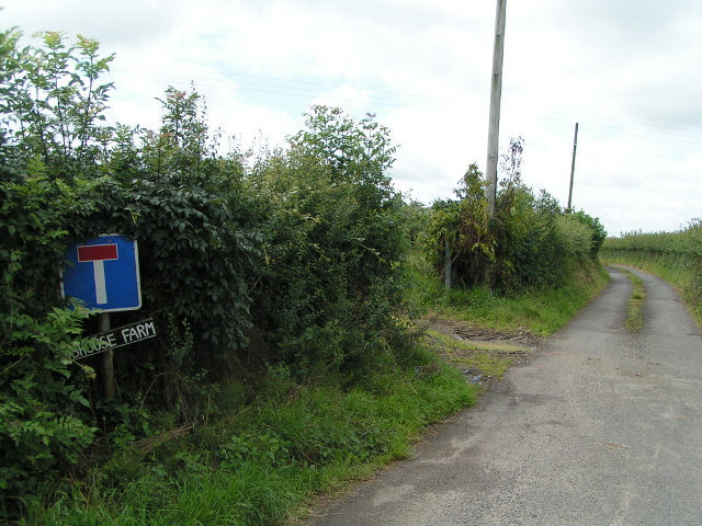
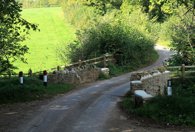
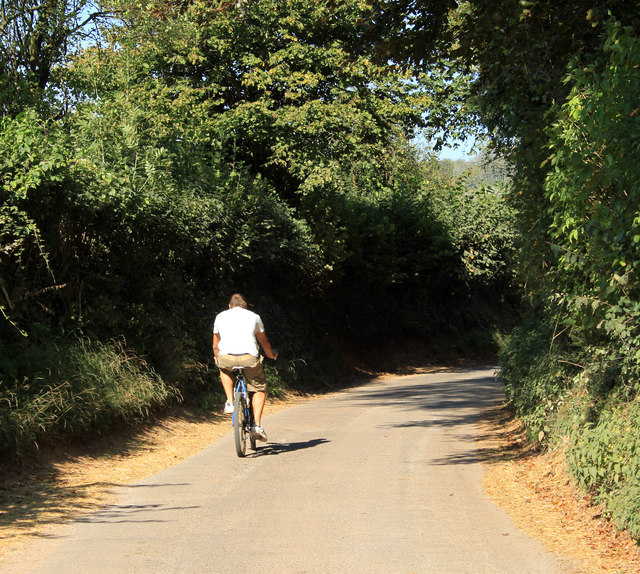
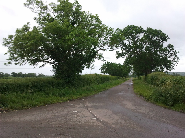
Barrow Hill is easily accessible, with a network of footpaths and bridleways connecting it to the nearby villages and towns. It is a cherished landmark in Somerset, offering both historical and natural attractions to visitors and locals alike.
If you have any feedback on the listing, please let us know in the comments section below.
Barrow Hill Images
Images are sourced within 2km of 51.177207/-2.6339363 or Grid Reference ST5542. Thanks to Geograph Open Source API. All images are credited.

Barrow Hill is located at Grid Ref: ST5542 (Lat: 51.177207, Lng: -2.6339363)
Administrative County: Somerset
District: Mendip
Police Authority: Avon and Somerset
What 3 Words
///across.chained.bookmark. Near Wells, Somerset
Nearby Locations
Related Wikis

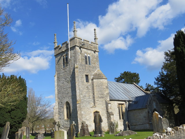
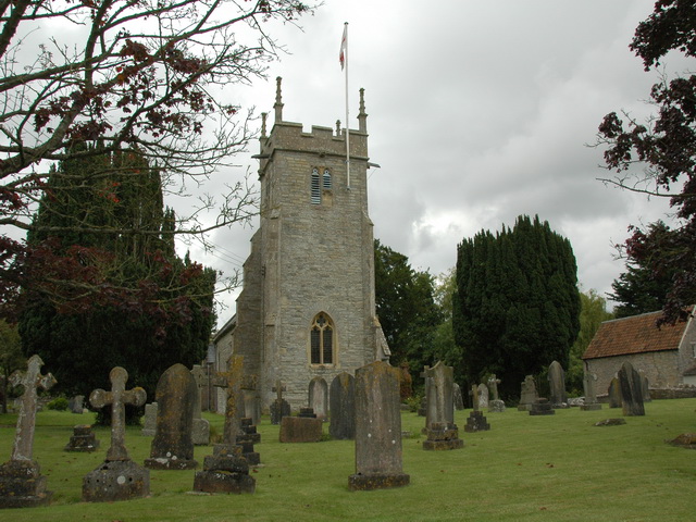
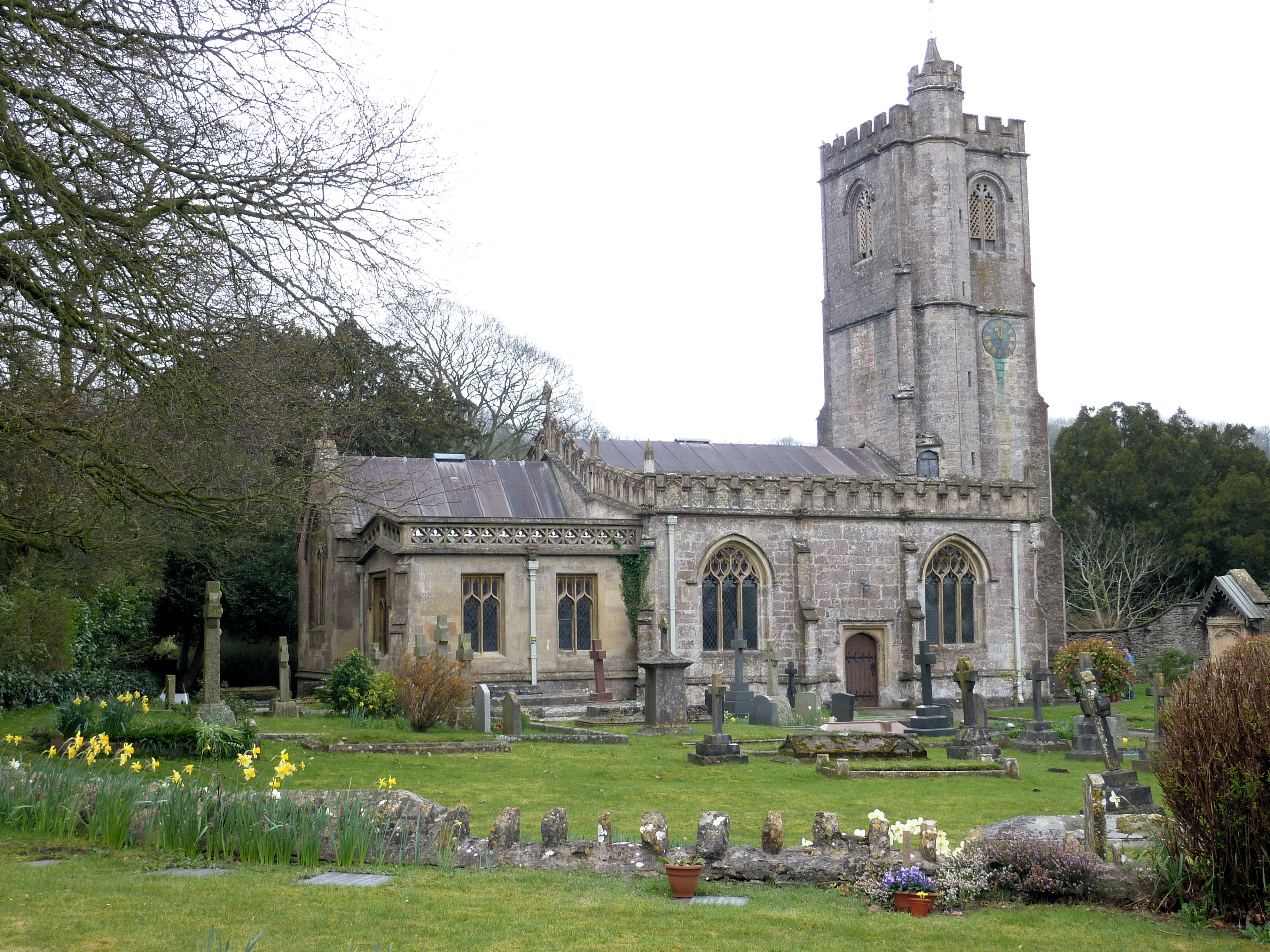
Church of St Peter, North Wootton
The Anglican Church of St Peter in North Wootton, Somerset, England was built in the 14th or 15th century. It is a Grade II* listed building. == History... ==

Twinhills Woods and Meadows
Twinhills Woods and Meadows (grid reference ST558432) is a 21.2 hectare (52.4 acre) biological Site of Special Scientific Interest on the Monarch's Way...
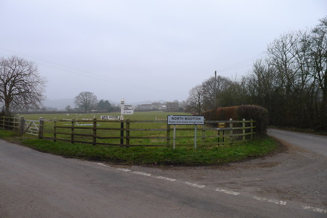
North Wootton, Somerset
North Wootton is a village and civil parish, on the River Redlake, 2.5 miles (4.0 km) south east of Wells, and 3.5 miles (5.6 km) south west of Shepton...

Dulcote Quarry
Dulcote Quarry is a disused limestone quarry at Dulcote, near Wells on the Mendip Hills, Somerset, England. The quarry measures around 600 metres (2,000...

West Pennard railway station
West Pennard railway station was a station on the Highbridge branch of the Somerset and Dorset Joint Railway. Opened on 3 February 1862, it was reduced...
Wells East Somerset railway station
Wells station in the Somerset city of Wells was the terminus of the East Somerset Railway line from Witham and opened when the line was extended from Shepton...
Church of St Michael, Dinder
The Anglican Church of St Michael in Dinder, Somerset, England has Norman origins and was built in the 14th century before being rebuilt in the 15th. It...
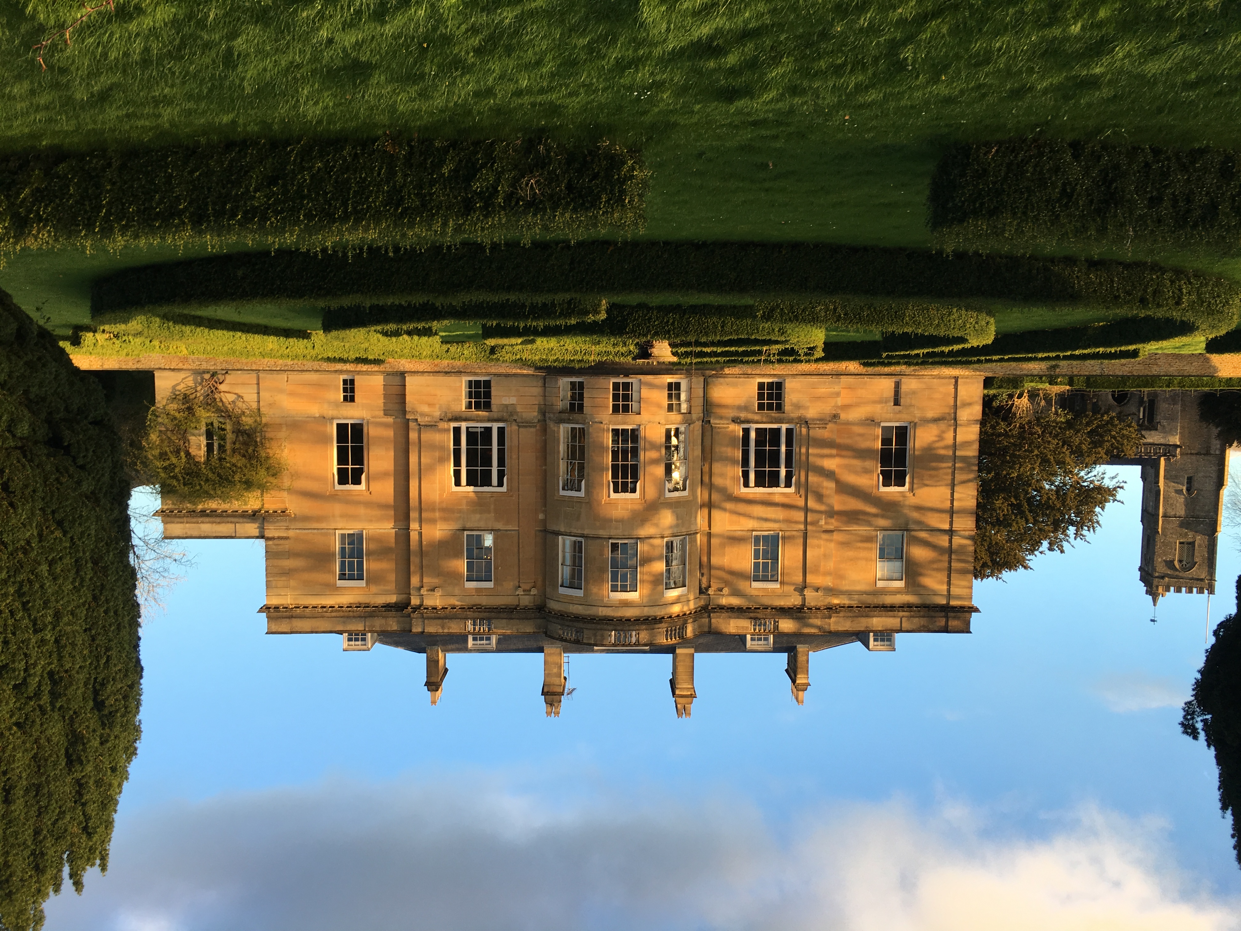
Dinder House
Dinder House, is a Somerset estate with a small country house Grade II Regency listed building in the village of Dinder, in the civil parish of St Cuthbert...
Have you been to Barrow Hill?
Leave your review of Barrow Hill below (or comments, questions and feedback).