Altbough Wood
Wood, Forest in Herefordshire
England
Altbough Wood
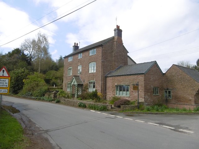
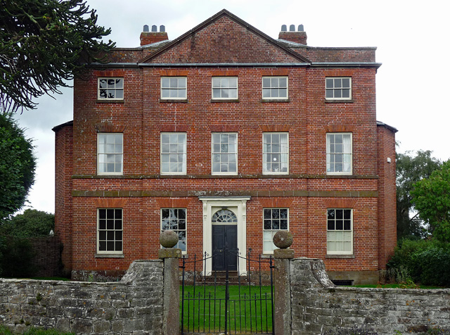
Wood, located in the county of Herefordshire, is a picturesque village nestled within the lush green landscapes of the Forest of Dean. With a population of approximately 300 residents, this peaceful and idyllic community offers a tranquil retreat away from the hustle and bustle of urban life.
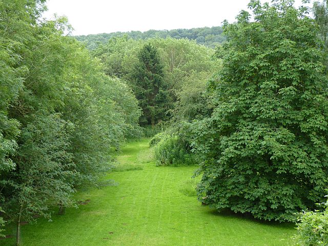
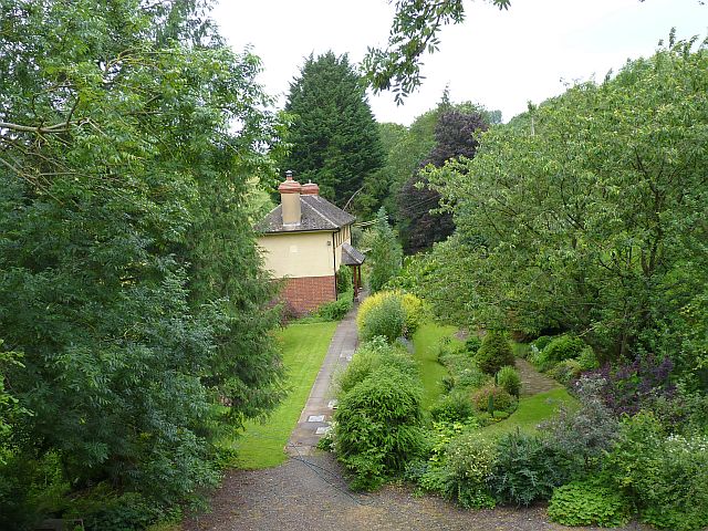
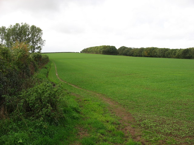
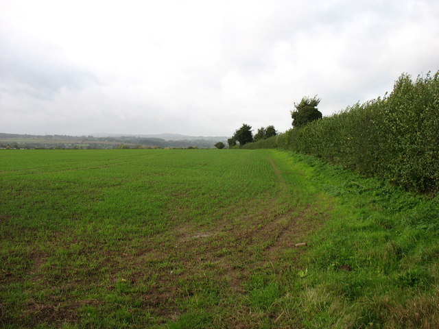
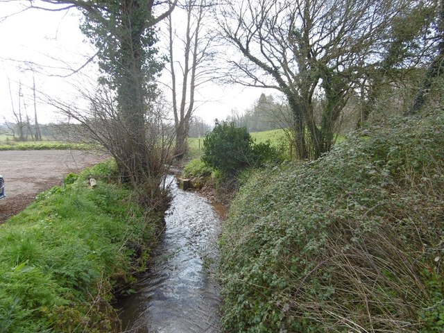
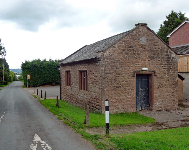
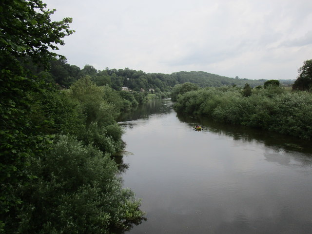
Surrounded by dense woodland and rolling hills, Wood boasts stunning natural beauty with an abundance of flora and fauna. The village is known for its ancient oak trees, which have stood tall for centuries, providing a unique and enchanting atmosphere. The Forest of Dean, a designated Area of Outstanding Natural Beauty, offers numerous walking trails and cycling routes, allowing visitors and locals to explore the breathtaking countryside.
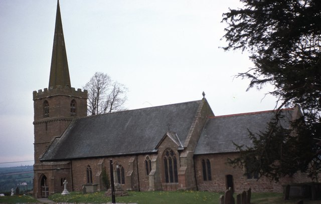
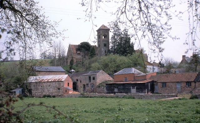
Despite its small size, Wood maintains a strong sense of community. The village is home to a charming 12th-century church, St. Mary's, which serves as a gathering point for religious services and community events. Additionally, Wood has a small primary school, providing education for the local children.
Although predominantly rural, Wood benefits from its proximity to nearby towns and cities. The vibrant market town of Ross-on-Wye is just a short drive away, offering a range of amenities including shops, restaurants, and leisure facilities. The city of Hereford, with its historic cathedral and bustling high street, is also within easy reach.
Overall, Wood, Herefordshire offers a serene and picturesque setting for those seeking a peaceful retreat amidst stunning natural surroundings. Its strong sense of community and close proximity to nearby amenities make it an ideal place to call home or visit for a relaxing getaway.
If you have any feedback on the listing, please let us know in the comments section below.
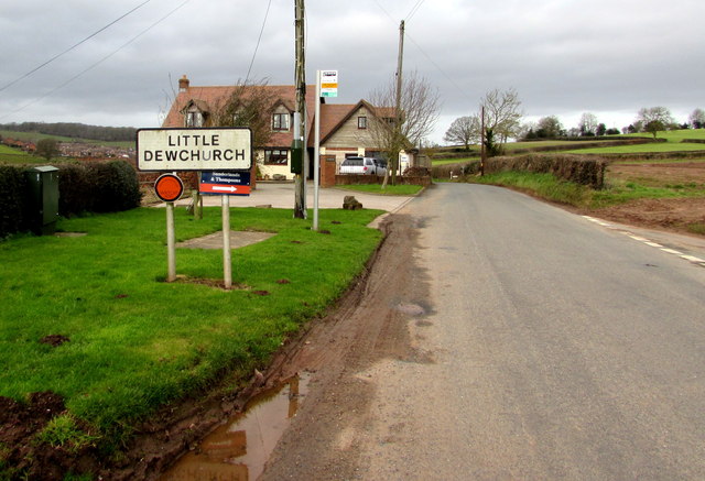
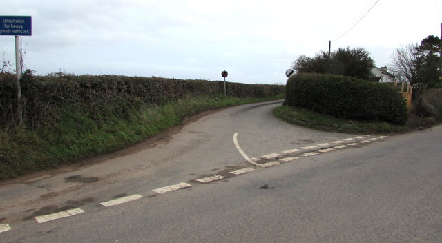
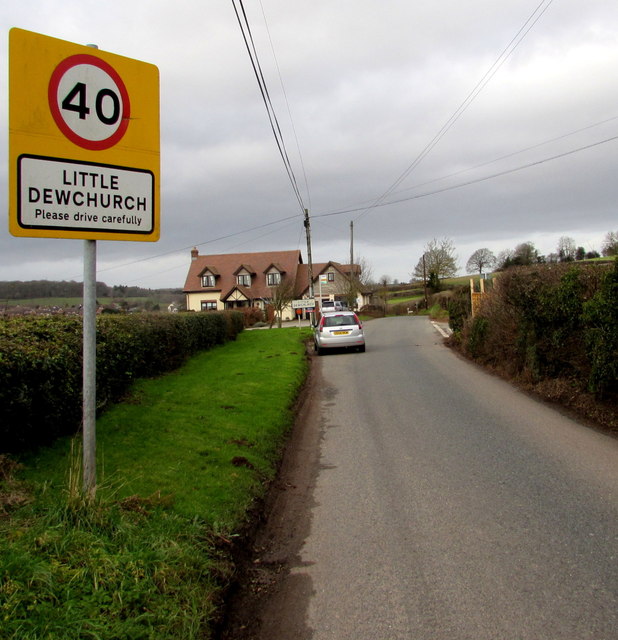
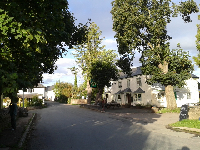
Altbough Wood Images
Images are sourced within 2km of 51.970927/-2.6508586 or Grid Reference SO5530. Thanks to Geograph Open Source API. All images are credited.

Altbough Wood is located at Grid Ref: SO5530 (Lat: 51.970927, Lng: -2.6508586)
Unitary Authority: County of Herefordshire
Police Authority: West Mercia
What 3 Words
///clays.hangs.trump. Near Sellack, Herefordshire
Nearby Locations
Related Wikis
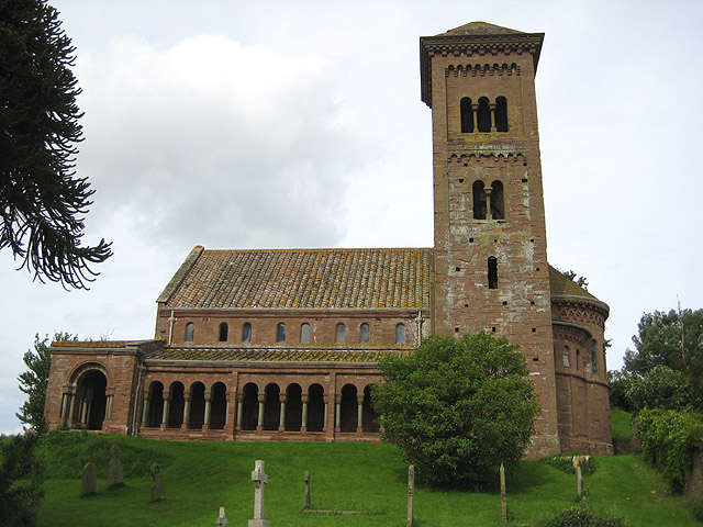
St Catherine's Church, Hoarwithy
The Church of St Catherine is a Church of England parish church at Hoarwithy in the English county of Herefordshire. Alan Brooks and Nikolaus Pevsner,...

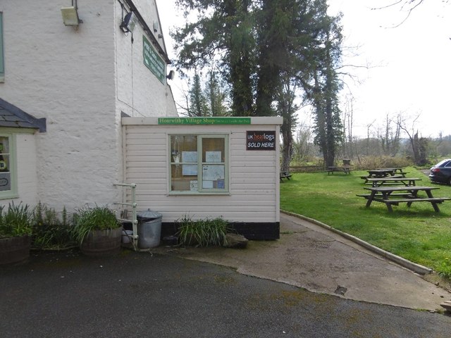
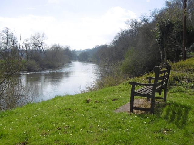
Hoarwithy, Herefordshire
Hoarwithy is a small village in the civil parish of Hentland, and on the River Wye in Herefordshire, England. It is known for its church of St Catherine...

Ballingham railway station
Ballingham railway station is a disused stone built railway station that served the villages of Ballingham and Carey in Herefordshire on the Hereford,...

Ballingham Railway Bridge
Ballingham Railway Bridge (also known as Fawley Viaduct) was a railway bridge over the River Wye, built by the Hereford, Ross and Gloucester Railway. It...
Nearby Amenities
Located within 500m of 51.970927,-2.6508586Have you been to Altbough Wood?
Leave your review of Altbough Wood below (or comments, questions and feedback).