Bibletts Common

Downs, Moorland in Herefordshire

England

Bibletts Common

Trackbed of dismantled railway at Ballingham This was once part of the railway line which ran from Ross-on-Wye to Hereford. The photograph was taken from the road bridge over the line.
Trackbed of dismantled railway at Ballingham Credit: Richard Green

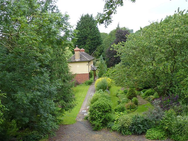
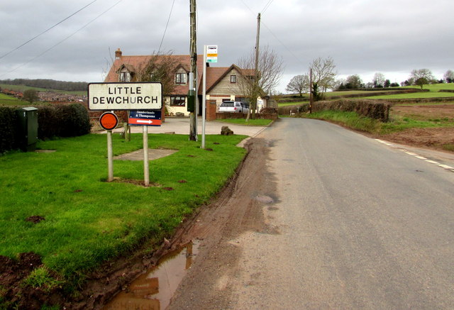
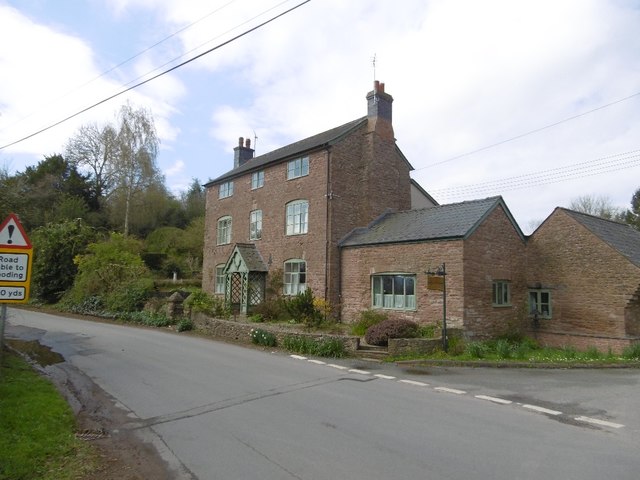
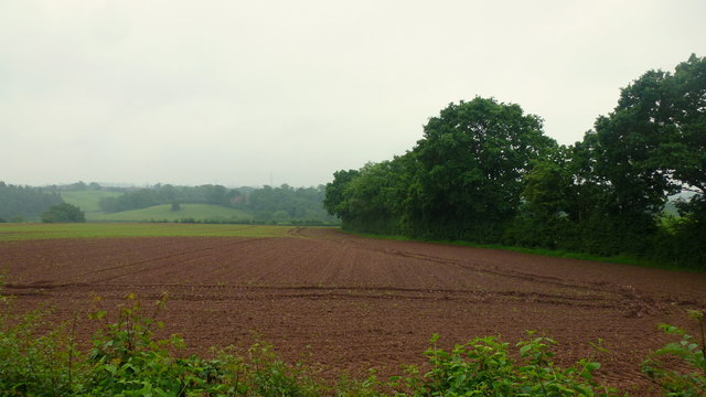
Bibletts Common is a picturesque area located in Herefordshire, England. Nestled amidst rolling hills, it is characterized by its expansive downs and captivating moorland. Covering a vast area, Bibletts Common offers visitors a tranquil and scenic escape from the hustle and bustle of city life.

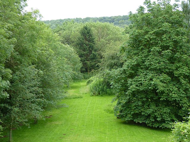
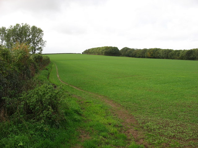
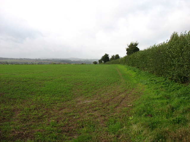
The downs of Bibletts Common are a sight to behold, with their gentle slopes and lush greenery. These open grasslands provide ample space for recreational activities such as hiking, picnicking, and kite flying. On a clear day, visitors can enjoy breathtaking panoramic views of the surrounding countryside.

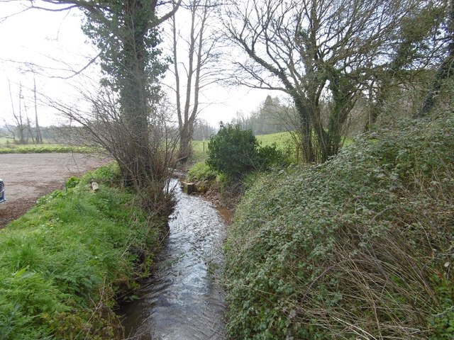
The moorland of Bibletts Common adds to the area's natural beauty. Dotted with gorse bushes, heather, and wildflowers, it offers a diverse habitat for a variety of wildlife species. Birdwatchers will be delighted to spot native birds such as curlews, lapwings, and skylarks soaring above the moorland. The area is also home to small mammals like rabbits and foxes.

Visitors can explore Bibletts Common via its well-maintained footpaths and trails, which wind their way through the downs and moorland. These paths provide an opportunity to immerse oneself in nature, taking in the sights and sounds of the countryside.

Bibletts Common is a favorite destination for nature lovers, photographers, and outdoor enthusiasts. Its untouched beauty and peaceful ambiance make it an ideal spot for those seeking solace in nature. Whether one chooses to explore its downs, wander its moorland, or simply sit back and enjoy the scenery, Bibletts Common offers a unique and memorable experience for all who visit.

If you have any feedback on the listing, please let us know in the comments section below.

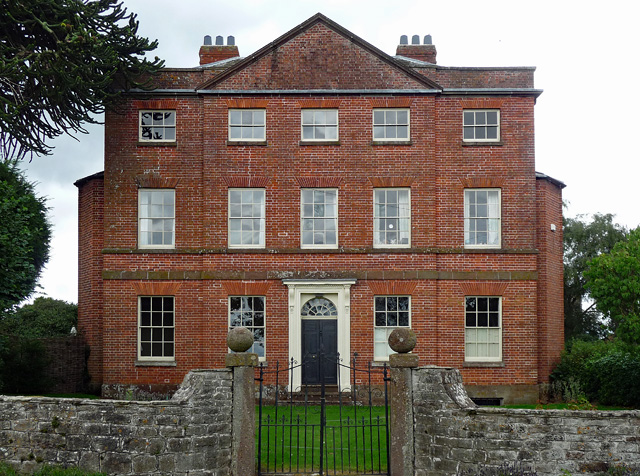
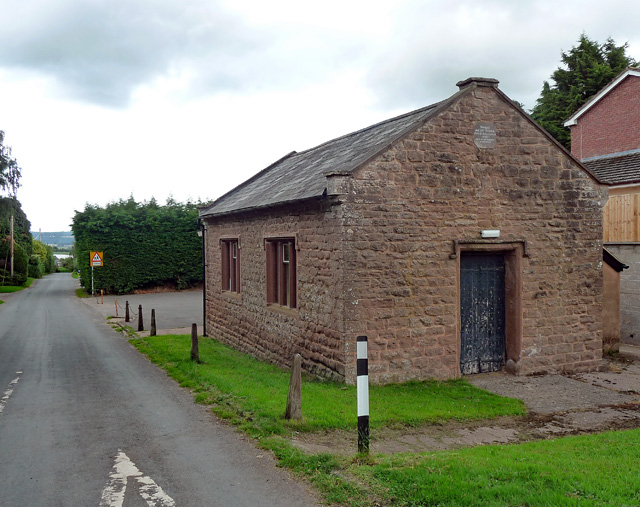
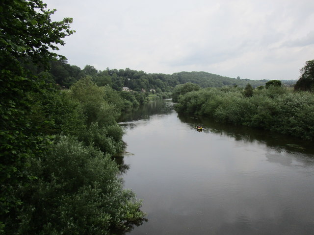
Bibletts Common Images

Images are sourced within 2km of 51.96903/-2.6524759 or Grid Reference SO5530. Thanks to Geograph Open Source API. All images are credited.

Trackbed of dismantled railway at Ballingham This was once part of the railway line which ran from Ross-on-Wye to Hereford. The photograph was taken from the road bridge over the line.
Trackbed of dismantled railway at Ballingham
This was once part of the railway line which ran from Ross-on-Wye to Hereford. The photograph was taken from the road bridge over the line.
The former Ballingham railway station. The relatively modest buildings of this little used station on the Ross-on-Wye to Hereford line have been greatly extended to form this house. The station was actually nearer to Carey than Ballingham! The photograph was taken from the road bridge that still spans the railway route.
The former Ballingham railway station.
The relatively modest buildings of this little used station on the Ross-on-Wye to Hereford line have been greatly extended to form this house. The station was actually nearer to Carey than Ballingham! The photograph was taken from the road bridge that still spans the railway route.
Farmland at Warlocks Carey Wood, in the background, covers the steep slope down to the River Wye.
Farmland at Warlocks
Carey Wood, in the background, covers the steep slope down to the River Wye.
Farmland above Aramstone Wood
Little Dewchurch boundary sign The minor road from Hoarwithy reaches Little Dewchurch, a village in Herefordshire.
Little Dewchurch boundary sign
The minor road from Hoarwithy reaches Little Dewchurch, a village in Herefordshire.
Unsuitable road for heavy goods vehicles, Little Dewchurch Opposite the Little Dewchurch boundary sign, <a title="https://www.geograph.org.uk/photo/4307369" href="https://www.geograph.org.uk/photo/4307369">Link</a> a minor road heads towards Carey, 3km ahead.
Unsuitable road for heavy goods vehicles, Little Dewchurch
Opposite the Little Dewchurch boundary sign, Link a minor road heads towards Carey, 3km ahead.
Please drive carefully in Little Dewchurch The National Speed Limit on the minor road from Hoarwithy reduces 
to 40mph at the SE edge of Little Dewchurch, a village in Herefordshire.
Please drive carefully in Little Dewchurch
The National Speed Limit on the minor road from Hoarwithy reduces to 40mph at the SE edge of Little Dewchurch, a village in Herefordshire.
The New Harp Inn at Hoarwithy
Hoarwithy Junction by Aspen House.
Hoarwithy
Junction by Aspen House.
Wriggle Brook Flows past The New Harp to the Wye at Hoarwithy.
Wriggle Brook
Flows past The New Harp to the Wye at Hoarwithy.
Hoarwithy Village Shop At the pub, (New Harp).
Hoarwithy Village Shop
At the pub, (New Harp).
The Wye at Hoarwithy A fine riverside view.  I was warned by a passing cyclist of a big hill ahead. Having forgotten some of my maps, this was news, although not unexpected.
The Wye at Hoarwithy
A fine riverside view. I was warned by a passing cyclist of a big hill ahead. Having forgotten some of my maps, this was news, although not unexpected.
King's Caple Court, King's Caple The house, built c1780 for a solicitor, John Cooke, is an uncommonly fine sight so close to the road in a small village. If one were being picky, one might wonder if the pediment were a little steep. Good doorcase (<a href="https://www.geograph.org.uk/photo/5463100">SO5628 : Detail of King's Caple Court, King's Caple</a>). The architect may have been Anthony Keck. Grade II listed.
King's Caple Court, King's Caple
The house, built c1780 for a solicitor, John Cooke, is an uncommonly fine sight so close to the road in a small village. If one were being picky, one might wonder if the pediment were a little steep. Good doorcase (SO5628 : Detail of King's Caple Court, King's Caple). The architect may have been Anthony Keck. Grade II listed.
Detail of King's Caple Court, King's Caple Doorcase with arched fanlight and cornice on brackets.
Wider view: <a href="https://www.geograph.org.uk/photo/5463094">SO5628 : King's Caple Court, King's Caple</a>.
Detail of King's Caple Court, King's Caple
Doorcase with arched fanlight and cornice on brackets. Wider view: SO5628 : King's Caple Court, King's Caple.
Former school, King's Caple Rubble sandstone. A plaque records that it was a "Sunday and Day School / Built By Subscriptions / -1840- / LEST WE BE WITHOUT KNOWLEDGE". A neat, and now perhaps sometimes overlooked, encapsulation of the value of education.
Now used as a parish/community hall.
Former school, King's Caple
Rubble sandstone. A plaque records that it was a "Sunday and Day School / Built By Subscriptions / -1840- / LEST WE BE WITHOUT KNOWLEDGE". A neat, and now perhaps sometimes overlooked, encapsulation of the value of education. Now used as a parish/community hall.
Arable land west of Hoarwithy On this damp late May morning.
Arable land west of Hoarwithy
On this damp late May morning.
The River Wye above Hoarwithy Bridge
Church of St John the Baptist - King's Caple, Herefordshire The church of St John the Baptist stands high here on the western edge of the village. The fabric of the church stretches from the 13th to the 15th century and it looks out to the west to Hoarwithy <a href="https://www.geograph.org.uk/gridref/SO+5429">SO 5429</a> on the right bank of the Wye and to the south to Sellack <a href="https://www.geograph.org.uk/gridref/SO+5627">SO 5627</a>. On Palm Sunday it was the custom, maybe still is, to give out Pax Cakes to the congregation with the words 'Peace and Good Neighbourhood'. This was said to be one of the three Herefordshire parishes where this was done. Time photo taken not available.
Church of St John the Baptist - King's Caple, Herefordshire
The church of St John the Baptist stands high here on the western edge of the village. The fabric of the church stretches from the 13th to the 15th century and it looks out to the west to Hoarwithy SO 5429 on the right bank of the Wye and to the south to Sellack SO 5627. On Palm Sunday it was the custom, maybe still is, to give out Pax Cakes to the congregation with the words 'Peace and Good Neighbourhood'. This was said to be one of the three Herefordshire parishes where this was done. Time photo taken not available.
Show me another place!

Bibletts Common is located at Grid Ref: SO5530 (Lat: 51.96903, Lng: -2.6524759)

Unitary Authority: County of Herefordshire

Police Authority: West Mercia

What 3 Words

///vital.fellow.shrug. Near Sellack, Herefordshire

Related Wikis

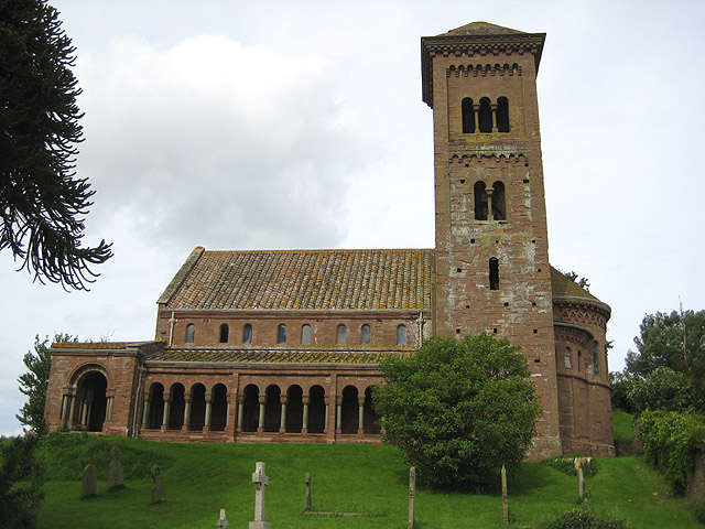
St Catherine's Church, Hoarwithy

The Church of St Catherine is a Church of England parish church at Hoarwithy in the English county of Herefordshire. Alan Brooks and Nikolaus Pevsner,...

Hoarwithy, Herefordshire

Hoarwithy is a small village in the civil parish of Hentland, and on the River Wye in Herefordshire, England. It is known for its church of St Catherine...
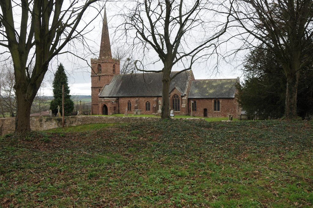
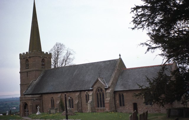
King's Caple

Kings Caple is a village in the largest loop of the River Wye between Hereford and Ross-on-Wye in the English county of Herefordshire. The population of...

Ballingham railway station

Ballingham railway station is a disused stone built railway station that served the villages of Ballingham and Carey in Herefordshire on the Hereford,...

Ballingham Railway Bridge

Ballingham Railway Bridge (also known as Fawley Viaduct) was a railway bridge over the River Wye, built by the Hereford, Ross and Gloucester Railway. It...

Pen-allt

Pen-allt is a village within the parish of King's Caple in Herefordshire, England. == External links == Map sources for Pen-allt

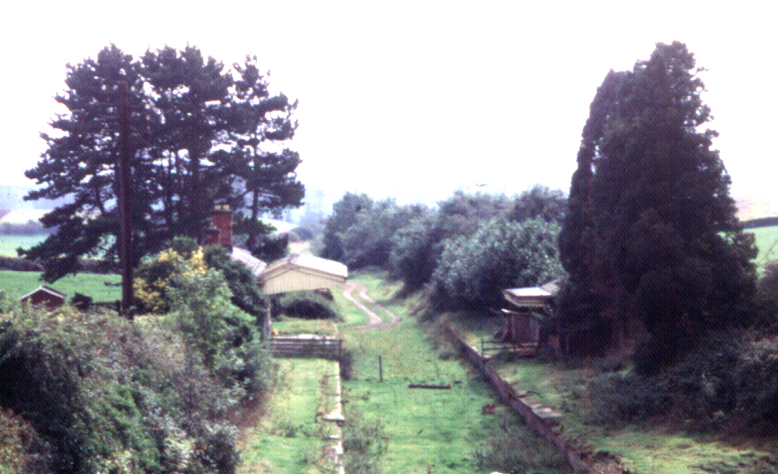
Fawley railway station (Hereford, Ross and Gloucester Railway)

Fawley railway station is a disused stone built railway station that served the village of King's Caple in Herefordshire on Hereford, Ross and Gloucester...

Bolstone

Bolstone is a village and civil parish in Herefordshire, England, 9 km (5.6 mi) south of Hereford. According to the 2001 census, it had a population of...

Nearby Amenities

Located within 500m of 51.96903,-2.6524759
Old Quarry
Power: pole
Transformer: distribution
Voltage Primary: 11000
Lat/Long: 51.9683441/-2.655513
Power: pole
Lat/Long: 51.9681054/-2.6561996
Power: pole
Lat/Long: 51.9676203/-2.657636
Power: pole
Lat/Long: 51.9673047/-2.6579887
Aramstone
Power: pole
Transformer: distribution
Voltage Primary: 11000
Lat/Long: 51.967023/-2.646018
Power: pole
Lat/Long: 51.9672915/-2.6468588
Power: pole
Lat/Long: 51.9676633/-2.6479948
Lower Bibletts
Power: pole
Transformer: distribution
Voltage Primary: 11000
Lat/Long: 51.9701429/-2.6509894
Power: pole
Lat/Long: 51.9694397/-2.6500373
Power: pole
Lat/Long: 51.9687721/-2.6492286
Aramstone Cottages
Power: pole
Transformer: distribution
Voltage Primary: 11000
Lat/Long: 51.96825/-2.6486103
Power: pole
Lat/Long: 51.9679029/-2.6486975
Power: pole
Lat/Long: 51.9679922/-2.6489764
Power: pole
Lat/Long: 51.9674014/-2.6497932
Power: pole
Lat/Long: 51.9667495/-2.650685
Power: pole
Lat/Long: 51.9654051/-2.6500346
Power: pole
Lat/Long: 51.9661611/-2.6515245
Power: pole
Lat/Long: 51.9656323/-2.652285
Power: pole
Lat/Long: 51.9651522/-2.6529354
The data included in this document is from www.openstreetmap.org. The data is made available under ODbL.

Have you been to Bibletts Common?

Leave your review of Bibletts Common below (or comments, questions and feedback).