Broadway Lands
Settlement in Herefordshire
England
Broadway Lands
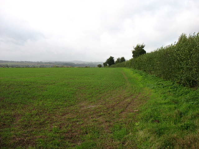
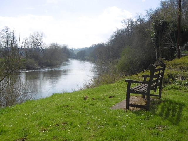
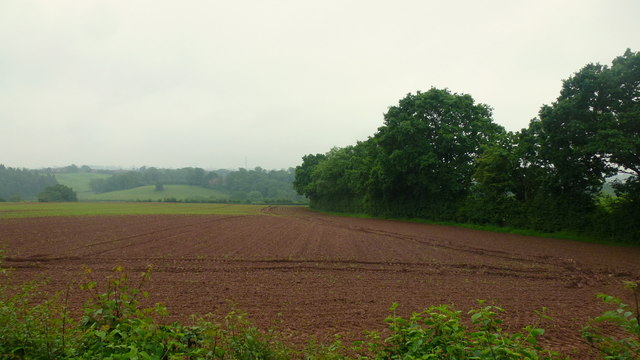
Broadway Lands is a small village located in the county of Herefordshire, England. Situated in the West Midlands region, it lies approximately 4 miles northeast of the town of Bromyard and around 15 miles northwest of the city of Hereford. The village is nestled in a picturesque rural setting, surrounded by rolling hills and lush green fields.
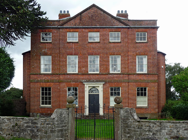
Broadway Lands is characterized by its quaint and traditional architecture, with many buildings dating back to the 17th and 18th centuries. The village exudes a charming and tranquil atmosphere, making it an attractive destination for those seeking a peaceful retreat or a scenic countryside escape.
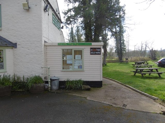
Although small in size, Broadway Lands offers a range of amenities and facilities for its residents and visitors. These include a local pub, a village hall, and a small convenience store, providing essential services to the community. The surrounding countryside offers ample opportunities for outdoor activities such as hiking, cycling, and horse riding, making it a haven for nature enthusiasts.
The village is also well-connected to nearby towns and cities, with regular bus services and good road links. This allows residents to access a wider range of amenities, schools, and employment opportunities.
In summary, Broadway Lands is a charming and idyllic village in Herefordshire, known for its traditional architecture, beautiful countryside, and tranquil atmosphere. It provides a peaceful retreat for those looking to escape the hustle and bustle of city life and offers a range of amenities and outdoor activities for residents and visitors alike.
If you have any feedback on the listing, please let us know in the comments section below.
Broadway Lands Images
Images are sourced within 2km of 51.966643/-2.6564004 or Grid Reference SO5530. Thanks to Geograph Open Source API. All images are credited.


Broadway Lands is located at Grid Ref: SO5530 (Lat: 51.966643, Lng: -2.6564004)
Unitary Authority: County of Herefordshire
Police Authority: West Mercia
What 3 Words
///hugs.electric.immune. Near Sellack, Herefordshire
Nearby Locations
Related Wikis
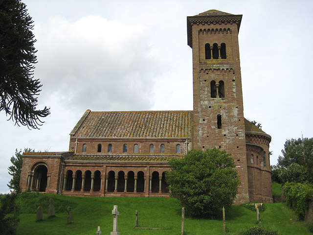
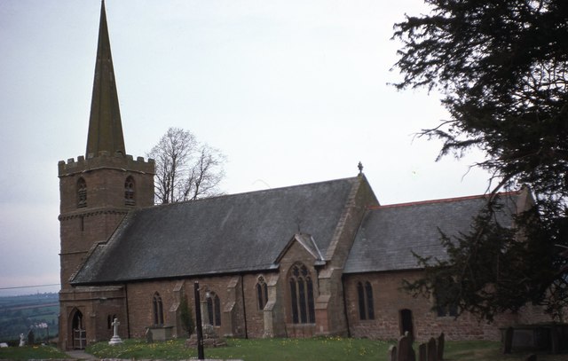
St Catherine's Church, Hoarwithy
The Church of St Catherine is a Church of England parish church at Hoarwithy in the English county of Herefordshire. Alan Brooks and Nikolaus Pevsner,...

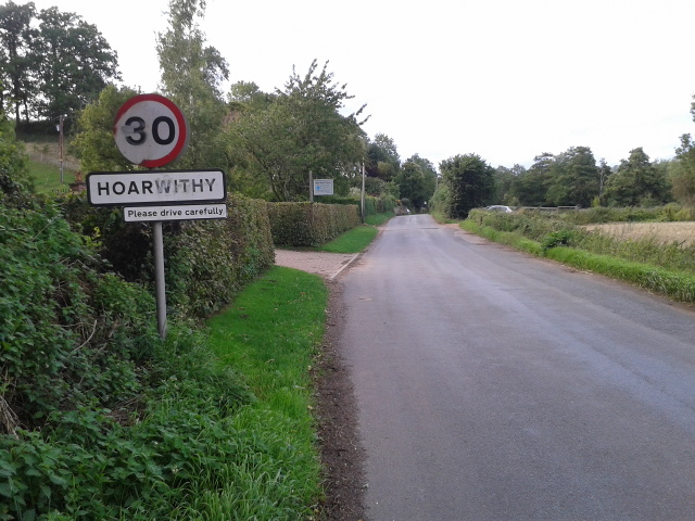
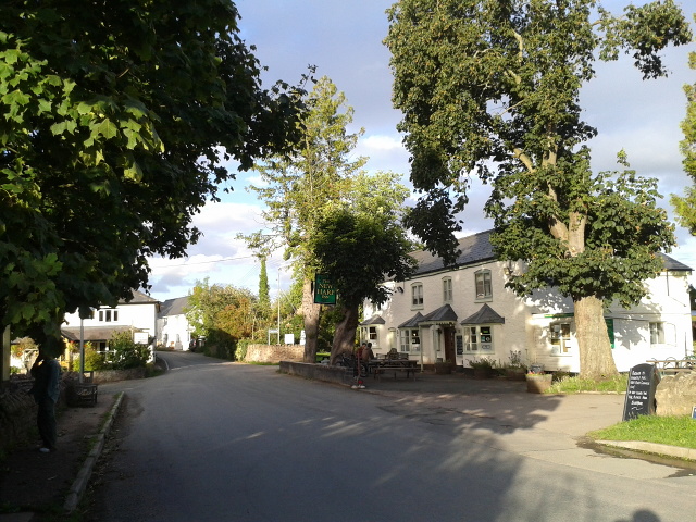
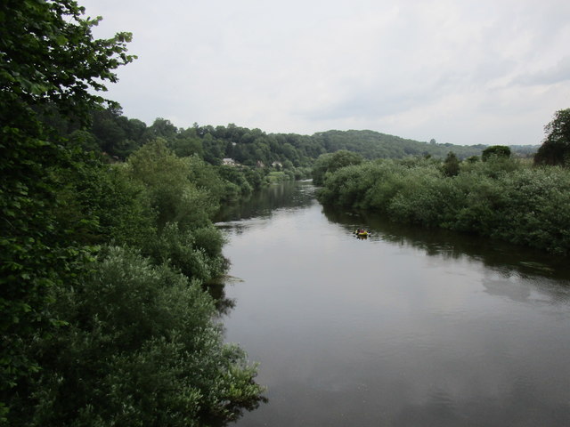
Hoarwithy, Herefordshire
Hoarwithy is a small village in the civil parish of Hentland, and on the River Wye in Herefordshire, England. It is known for its church of St Catherine...
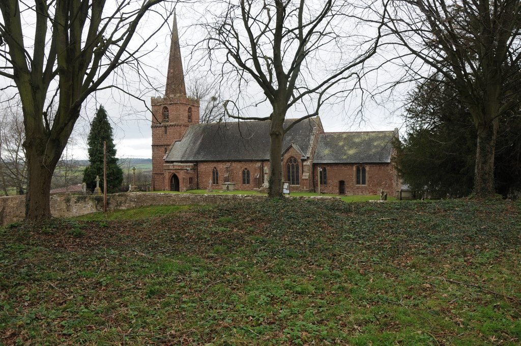
King's Caple
Kings Caple is a village in the largest loop of the River Wye between Hereford and Ross-on-Wye in the English county of Herefordshire. The population of...

Ballingham Railway Bridge
Ballingham Railway Bridge (also known as Fawley Viaduct) was a railway bridge over the River Wye, built by the Hereford, Ross and Gloucester Railway. It...

Pen-allt
Pen-allt is a village within the parish of King's Caple in Herefordshire, England. == External links == Map sources for Pen-allt

Ballingham railway station
Ballingham railway station is a disused stone built railway station that served the villages of Ballingham and Carey in Herefordshire on the Hereford,...
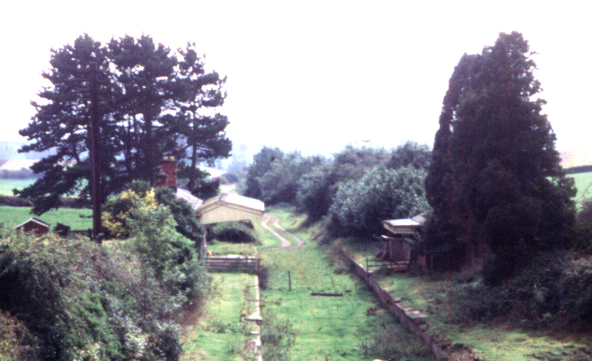
Fawley railway station (Hereford, Ross and Gloucester Railway)
Fawley railway station is a disused stone built railway station that served the village of King's Caple in Herefordshire on Hereford, Ross and Gloucester...
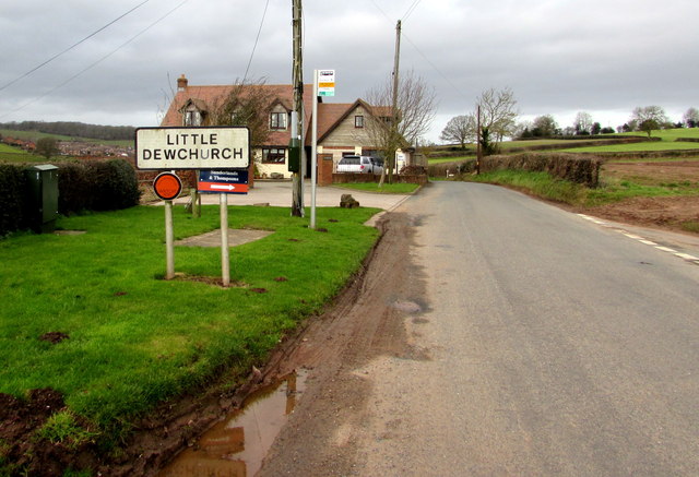
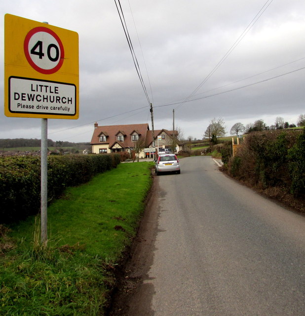
Little Dewchurch
Little Dewchurch Welsh: Llanddewi is a village in Herefordshire, England. The population of the village was 402 as taken at the 2011 census. == Etymology... ==
Nearby Amenities
Located within 500m of 51.966643,-2.6564004Have you been to Broadway Lands?
Leave your review of Broadway Lands below (or comments, questions and feedback).