Broadway
Settlement in Suffolk East Suffolk
England
Broadway
Broadway is a small village located in the county of Suffolk, England. Situated approximately 90 miles northeast of London, it falls within the Suffolk Coastal district. With a population of around 500 residents, Broadway is a quintessential English village known for its picturesque surroundings and traditional charm.
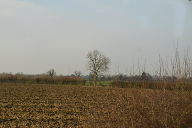
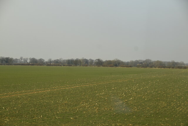
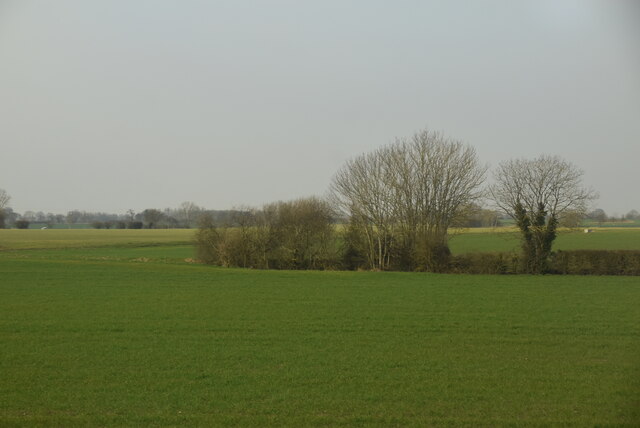
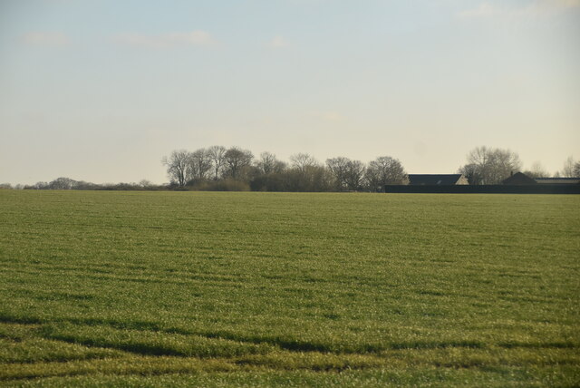
The village is characterized by its idyllic rural setting, surrounded by lush green fields, farmland, and rolling countryside. It is nestled in the heart of the Suffolk Coast and Heaths Area of Outstanding Natural Beauty, offering residents and visitors alike ample opportunities for outdoor activities such as hiking, cycling, and birdwatching.
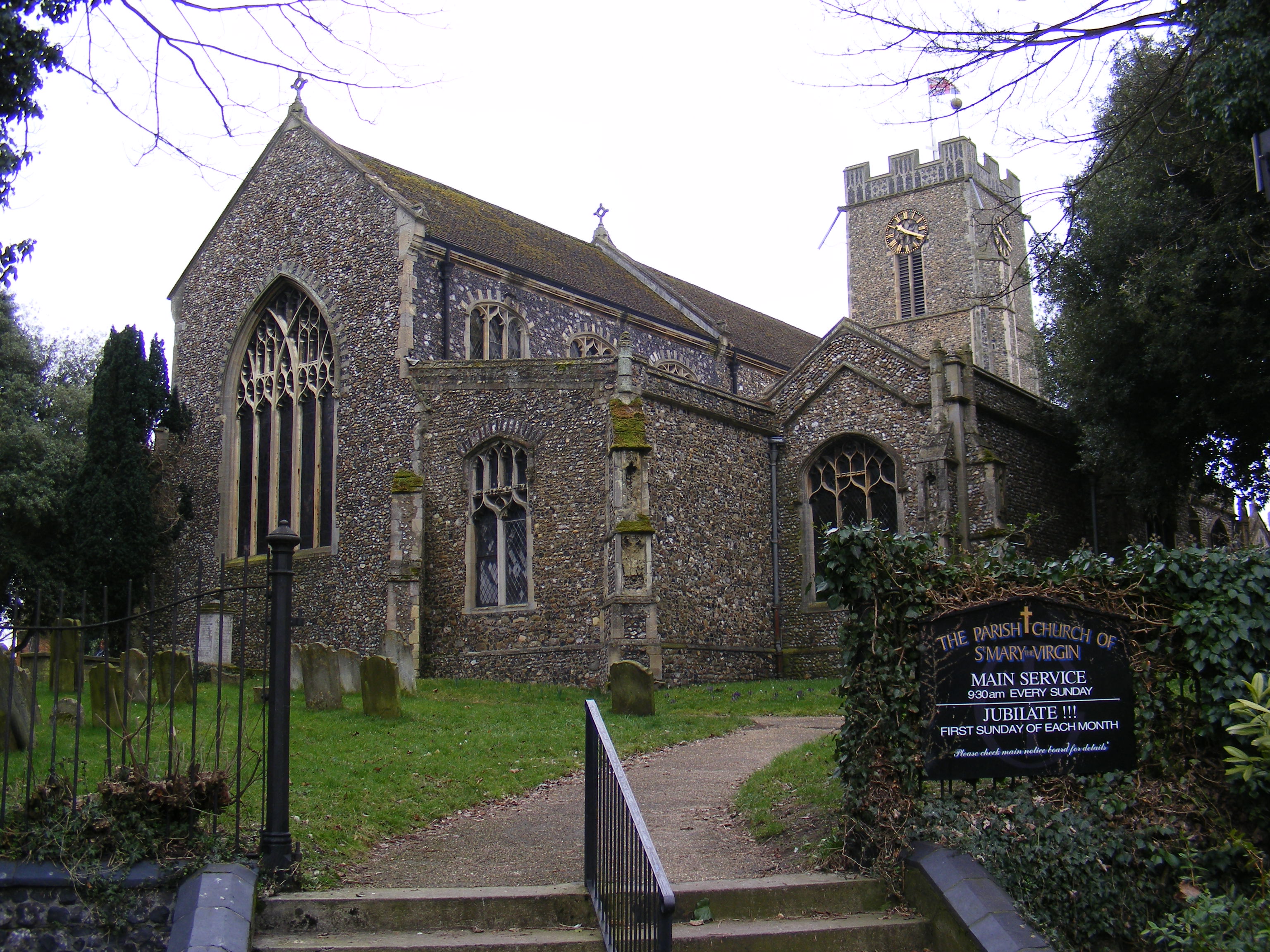
Broadway boasts a rich history, with records dating back to the Domesday Book of 1086. The architecture in the village reflects its heritage, featuring a mix of historic buildings, thatched cottages, and traditional red-brick houses. St. Mary's Church, a Grade II listed building, stands proudly in the village and serves as a focal point for the community.
Although primarily a residential area, Broadway is also home to a few amenities that cater to the needs of its residents, including a local pub, a village hall, and a primary school. For additional services and facilities, residents can easily access nearby towns such as Woodbridge, Framlingham, or Saxmundham.
Broadway offers a tranquil and peaceful atmosphere, making it an ideal place for those seeking a slower pace of life amidst the beauty of the Suffolk countryside.
If you have any feedback on the listing, please let us know in the comments section below.
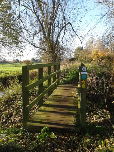
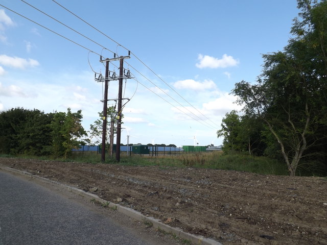
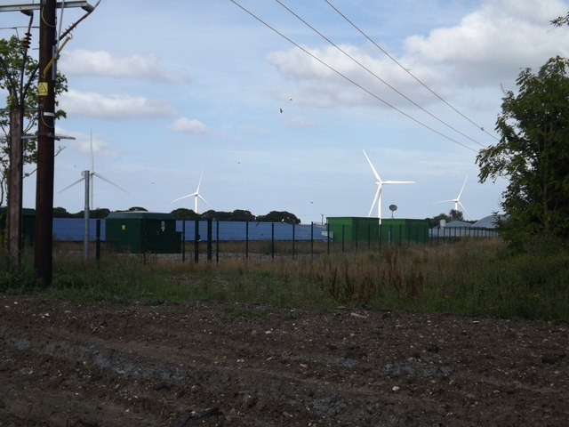
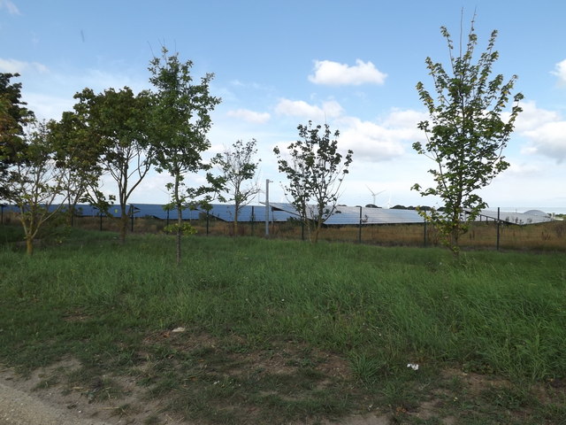
Broadway Images
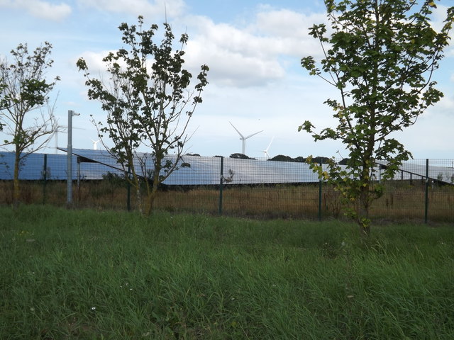
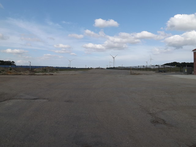
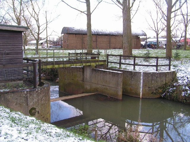
Images are sourced within 2km of 52.353305/1.510531 or Grid Reference TM3978. Thanks to Geograph Open Source API. All images are credited.


Broadway is located at Grid Ref: TM3978 (Lat: 52.353305, Lng: 1.510531)
Administrative County: Suffolk
District: East Suffolk
Police Authority: Suffolk
What 3 Words
///hiring.revolts.vowing. Near Halesworth, Suffolk
Nearby Locations
Related Wikis
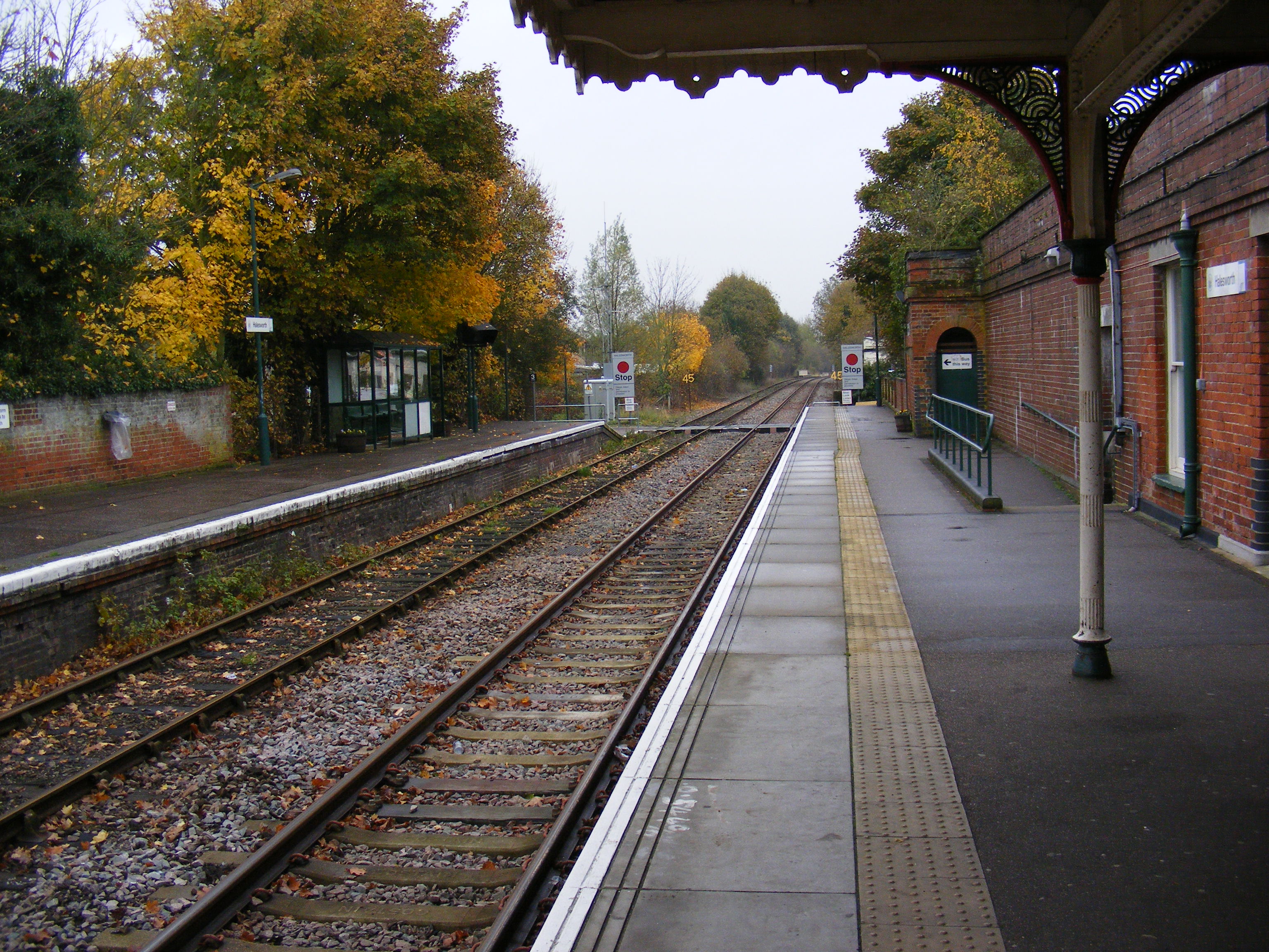
Halesworth railway station
Halesworth railway station is on the East Suffolk Line in the east of England, serving the town of Halesworth, Suffolk. It is also the nearest station...

The Cut (theatre)
The Cut Arts Centre is a theatre in the Suffolk town of Halesworth. It is a centre for arts in the community and offers music, theatre, dance, comedy,...
Blyth Navigation
The Blyth Navigation was a canal in Suffolk, England, running 7 miles (11 km) from Halesworth to the North Sea at Southwold. It opened in 1761, and was...
Halesworth
Halesworth is a market town, civil parish and electoral ward in north-eastern Suffolk, England. The population stood at 4,726 in the 2011 Census. It lies...
Nearby Amenities
Located within 500m of 52.353305,1.510531Have you been to Broadway?
Leave your review of Broadway below (or comments, questions and feedback).