Nicka Wood
Wood, Forest in Lancashire Lancaster
England
Nicka Wood

Nicka Wood is a small picturesque village situated in the county of Lancashire, England. Known for its abundant woodlands and forests, this charming village offers a tranquil and serene atmosphere for nature enthusiasts and those seeking an escape from the hustle and bustle of city life.
Surrounded by lush greenery, Nicka Wood is characterized by its dense forests and towering trees. The village is located at the foot of the majestic Pennine Hills, providing breathtaking views of the countryside. The woodlands in the area are home to a diverse range of flora and fauna, making it a haven for wildlife lovers and birdwatchers.
The village itself consists of a tight-knit community, with a population of approximately 500 residents. The main focal point of Nicka Wood is its village green, which serves as a meeting place for locals and hosts various community events throughout the year. The village also boasts a charming local pub, serving traditional British cuisine and ales, providing a warm and friendly atmosphere for visitors.
Outdoor activities are plentiful in Nicka Wood, with numerous walking trails and nature reserves in the surrounding area. The village is a popular destination for hikers and nature lovers, offering opportunities to explore the woodlands, discover hidden streams, and enjoy the tranquility of the countryside.
Overall, Nicka Wood is a hidden gem in Lancashire, offering a peaceful retreat for those seeking a connection with nature and a sense of community. With its enchanting woodlands and friendly atmosphere, this village is a perfect destination for a relaxing getaway.
If you have any feedback on the listing, please let us know in the comments section below.
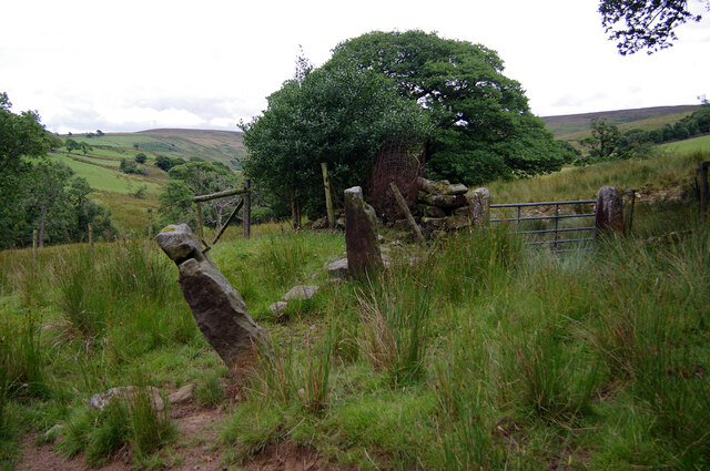
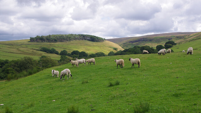
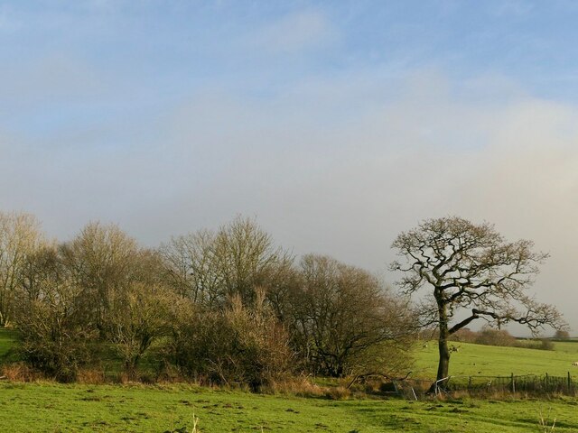
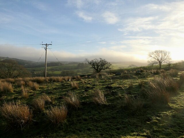
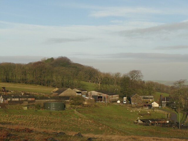
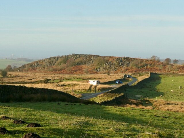
Nicka Wood Images
Images are sourced within 2km of 54.049168/-2.68291 or Grid Reference SD5561. Thanks to Geograph Open Source API. All images are credited.


Nicka Wood is located at Grid Ref: SD5561 (Lat: 54.049168, Lng: -2.68291)
Administrative County: Lancashire
District: Lancaster
Police Authority: Lancashire
What 3 Words
///nearing.again.bulbs. Near Caton, Lancashire
Nearby Locations
Related Wikis
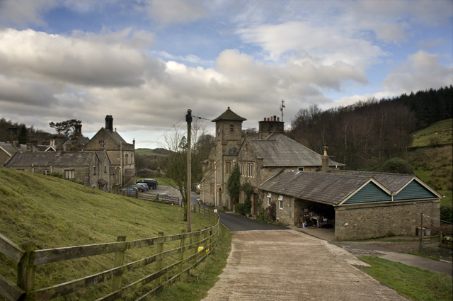
Littledale Hall
Littledale Hall is a former country house in the civil parish of Caton-with-Littledale in Lancashire, England, some 10 miles (16 km) east of Lancaster...

Clougha Pike
Clougha Pike ( KLUUF-ə) is a hill in the Forest of Bowland in Lancashire, England. From the west it looms over the Conder Valley, the city of Lancaster...

Grit Fell
Grit Fell is a lonely hill between Clougha Pike and Ward's Stone in the Forest of Bowland in Lancashire, England. Covered by heather and large bogs, it...
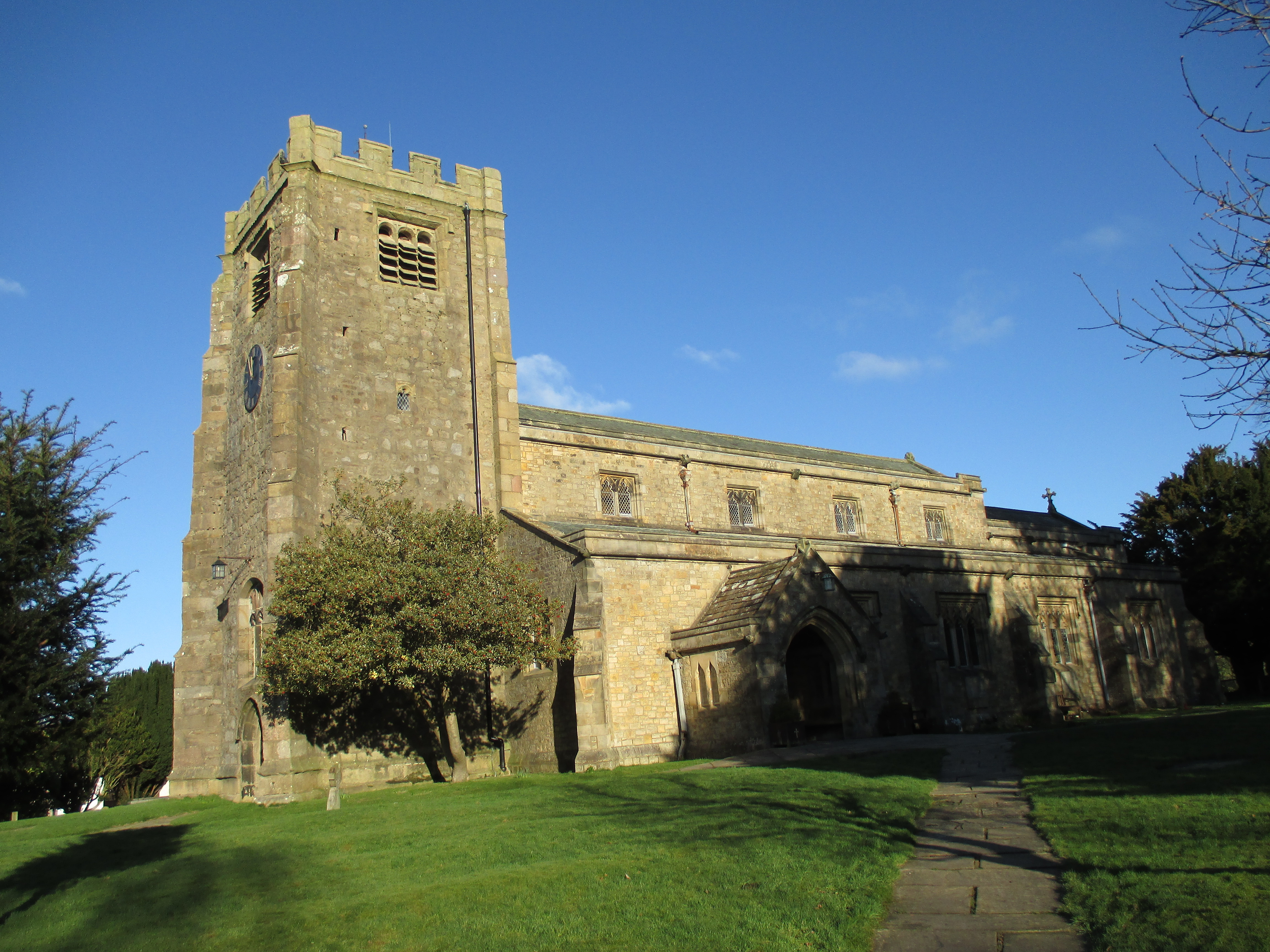
St Paul's Church, Brookhouse
St Paul's Church is in the village of Brookhouse, Caton-with-Littledale, Lancashire, England. It is an active Anglican parish church in the deanery of...
Nearby Amenities
Located within 500m of 54.049168,-2.68291Have you been to Nicka Wood?
Leave your review of Nicka Wood below (or comments, questions and feedback).