Sheriff's Park Wood
Wood, Forest in Westmorland Eden
England
Sheriff's Park Wood
Sheriff's Park Wood is a stunning forest located in the borough of Westmorland, in the picturesque region of Cumbria, England. Covering an expansive area of approximately 200 acres, this wood is a true gem for nature lovers and outdoor enthusiasts alike.
The wood features a diverse range of tree species, including oak, beech, birch, and ash, which create a rich and vibrant canopy. The forest floor is adorned with a carpet of lush ferns, wildflowers, and mosses, adding to its enchanting beauty. The wood is also home to a variety of wildlife, such as deer, foxes, badgers, and numerous bird species, making it a haven for wildlife enthusiasts.
Sheriff's Park Wood offers visitors a range of outdoor activities and recreational opportunities. There are well-maintained walking trails that meander through the wood, allowing visitors to explore its tranquil surroundings and enjoy the fresh air. The paths are suitable for all levels of fitness and offer stunning views of the surrounding countryside.
For those seeking a more adventurous experience, the wood also features designated areas for cycling and horse riding. These trails wind through the forest, providing an exhilarating experience amidst the natural beauty of the wood.
In addition to its natural attractions, Sheriff's Park Wood also boasts several picnic areas, where visitors can relax and enjoy a meal amidst the peaceful ambiance. The wood is well-equipped with amenities, including parking facilities and restroom facilities, ensuring a comfortable visit for all.
Overall, Sheriff's Park Wood is a true haven for nature enthusiasts and a perfect destination for those seeking tranquility and outdoor adventures. Its stunning landscapes, diverse wildlife, and recreational opportunities make it a must-visit location in Westmorland.
If you have any feedback on the listing, please let us know in the comments section below.
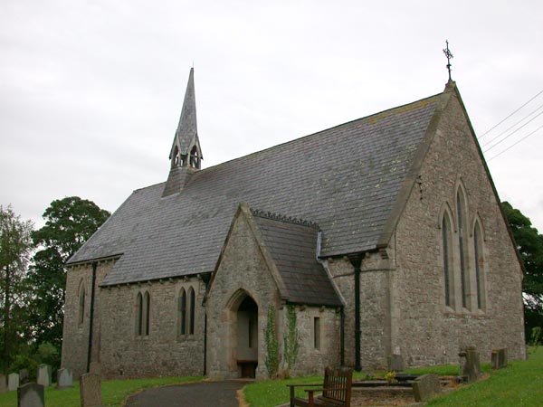
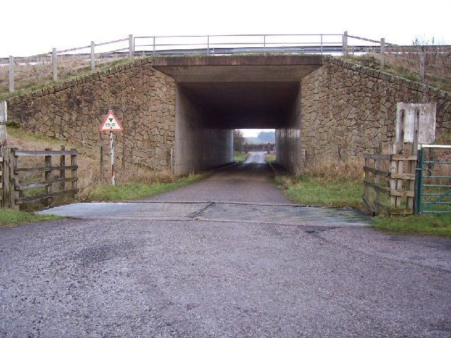
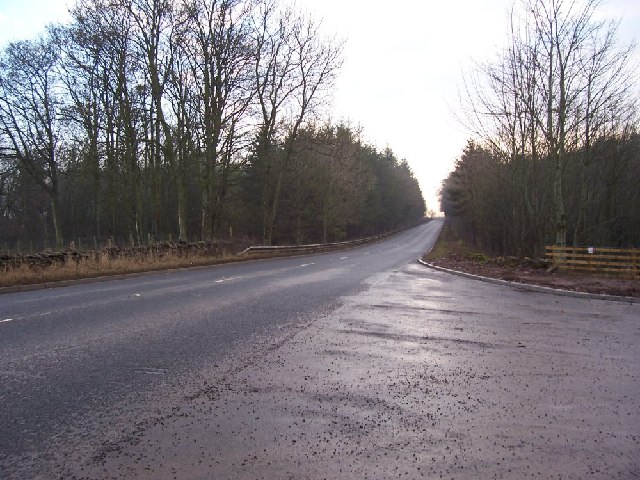
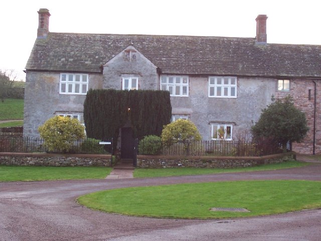
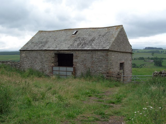
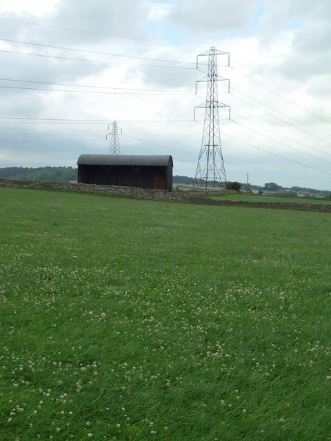
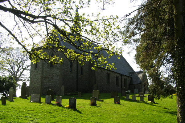
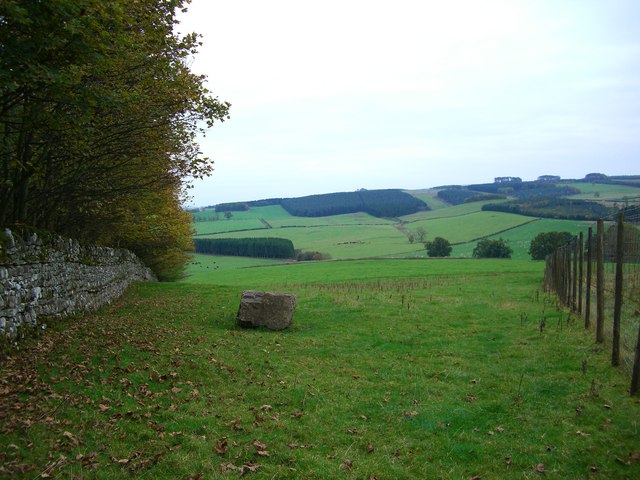
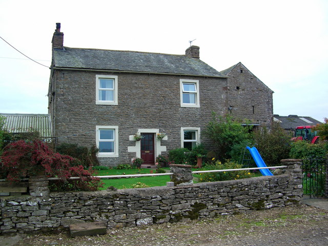
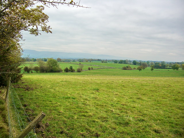
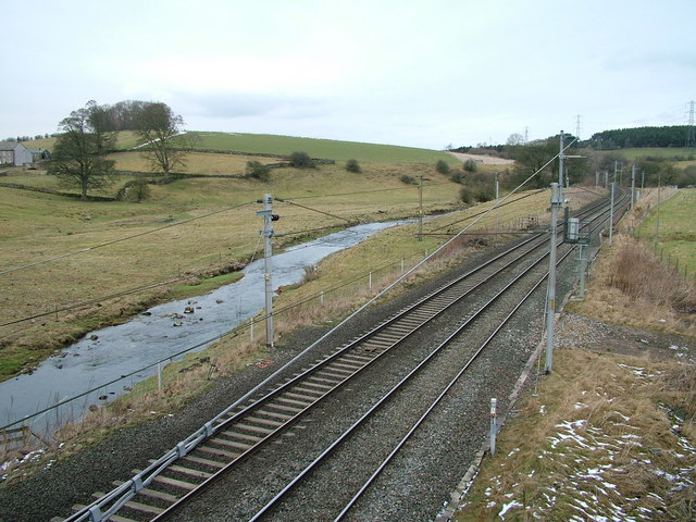
Sheriff's Park Wood Images
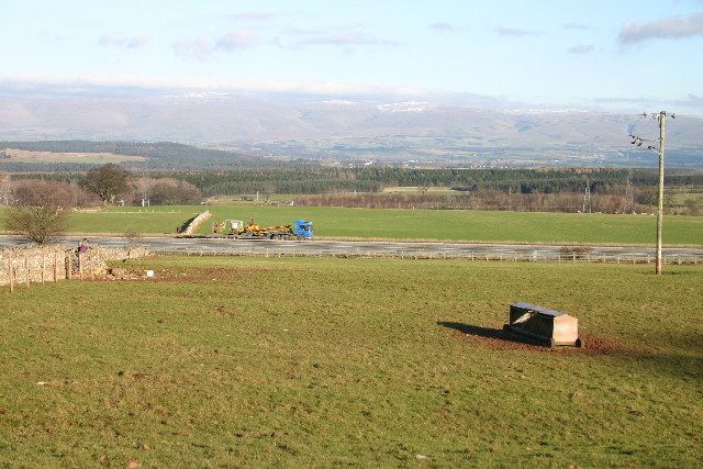
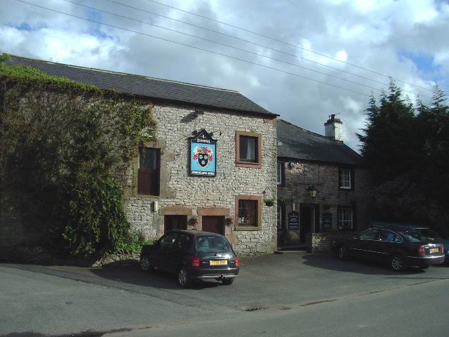
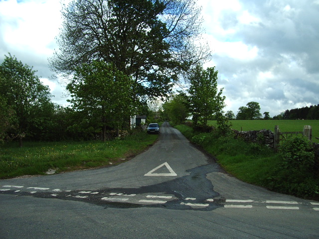
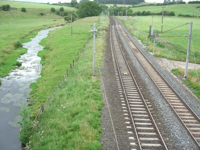
Images are sourced within 2km of 54.589977/-2.6933996 or Grid Reference NY5521. Thanks to Geograph Open Source API. All images are credited.


Sheriff's Park Wood is located at Grid Ref: NY5521 (Lat: 54.589977, Lng: -2.6933996)
Administrative County: Cumbria
District: Eden
Police Authority: Cumbria
What 3 Words
///rinsed.eyelashes.dolly. Near Shap, Cumbria
Nearby Locations
Related Wikis

Leath
Leath was one of the wards of the historic county of Cumberland in north west England. Unlike most other English counties, Cumberland was divided into...

Great Strickland
Great Strickland is a village and civil parish in the Eden Valley between the Cumbrian mountains in the west and the Pennines in the east. It is 5 miles...

Thrimby
Thrimby is a hamlet and former civil parish, now in the parish of Little Strickland, in the Eden district of Cumbria, England. In 2001 the population of...

Hackthorpe
Hackthorpe is a hamlet in the Eden district, in the county of Cumbria, England. Circa 1870, it had a population of 110 as recorded in the Imperial Gazetteer...
Nearby Amenities
Located within 500m of 54.589977,-2.6933996Have you been to Sheriff's Park Wood?
Leave your review of Sheriff's Park Wood below (or comments, questions and feedback).