Town Gill
Valley in Westmorland Eden
England
Town Gill
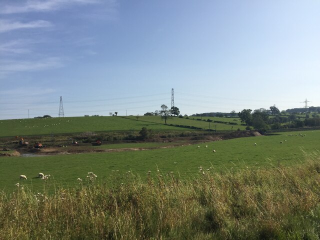
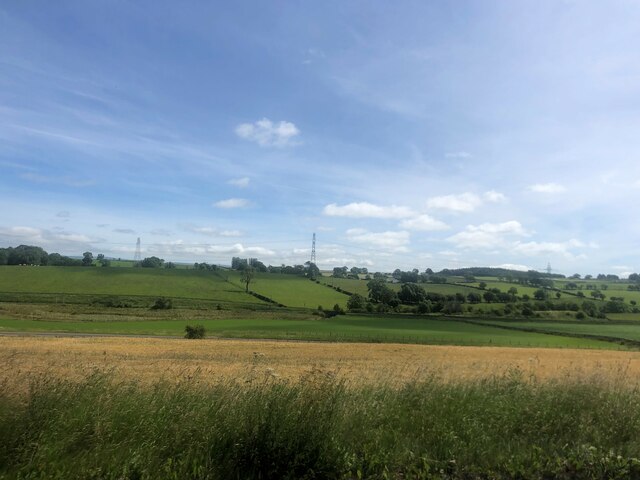
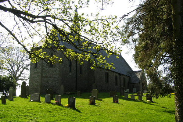
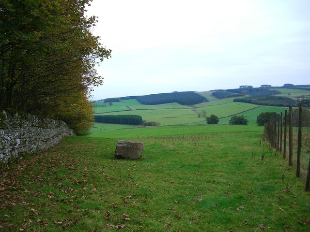
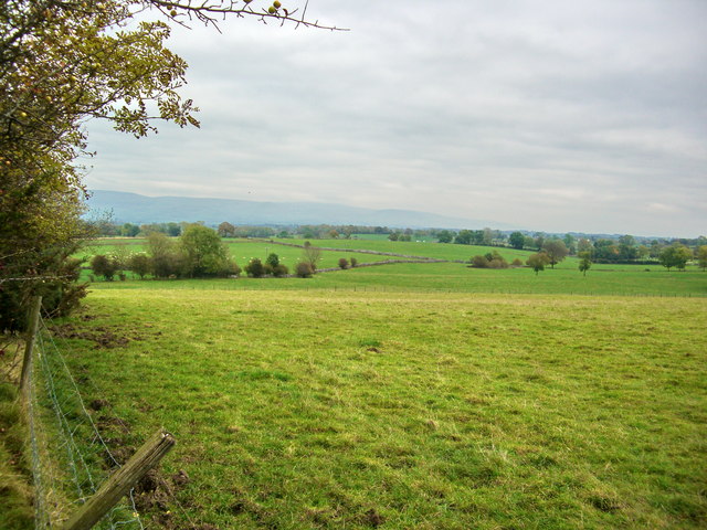
Town Gill is a small rural settlement located in the picturesque county of Westmorland in the north-west of England. Nestled in a valley, the village is surrounded by rolling hills and breathtaking natural beauty. With a population of around 300 residents, it exudes a close-knit community feel.
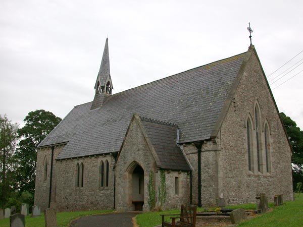
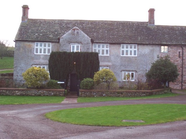
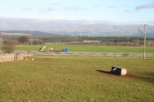
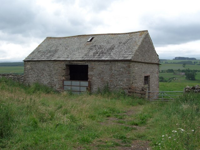
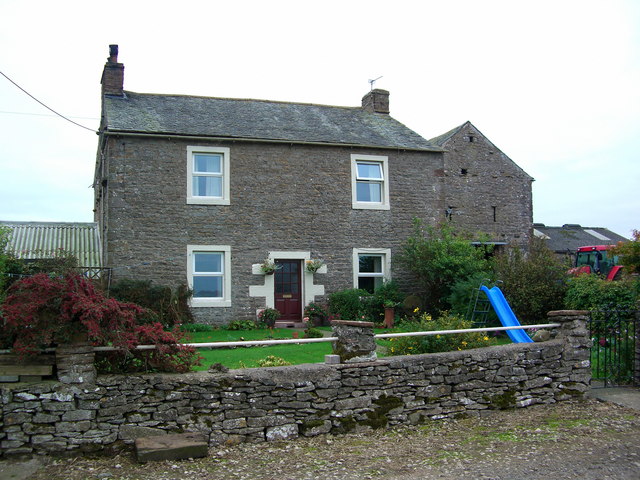
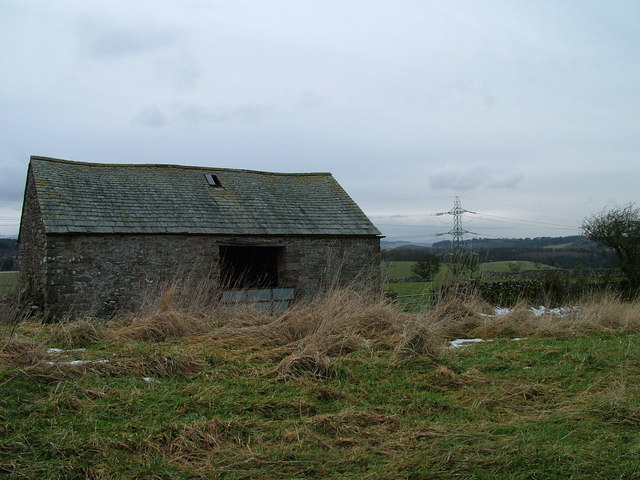
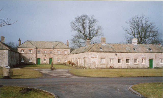
The village is characterized by its traditional stone-built houses, giving it a charming and timeless appeal. The local economy primarily relies on agriculture, with farms dotting the landscape around the village. The fertile soils and favorable climate make it an ideal location for farming.
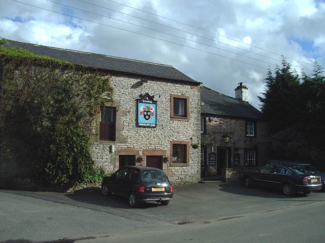
Town Gill boasts a range of amenities that cater to the needs of its residents. The village has a primary school, providing education to the local children. Additionally, there is a community center that serves as a hub for various social and cultural activities.
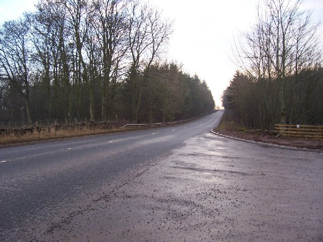
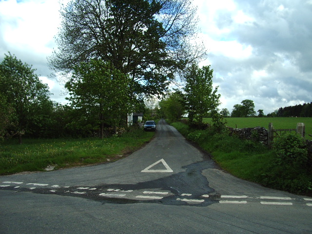
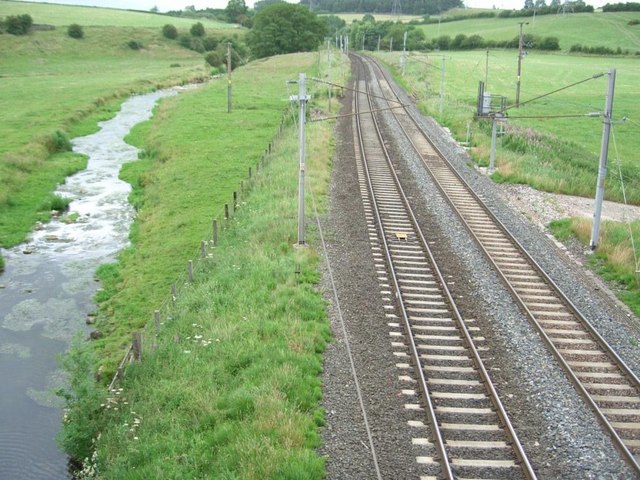
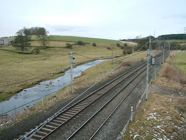
Nature enthusiasts will find plenty to explore in and around Town Gill. The village is situated near the Lake District National Park, offering endless opportunities for outdoor activities such as hiking, cycling, and fishing. The nearby River Gill provides a serene escape for those seeking tranquility.
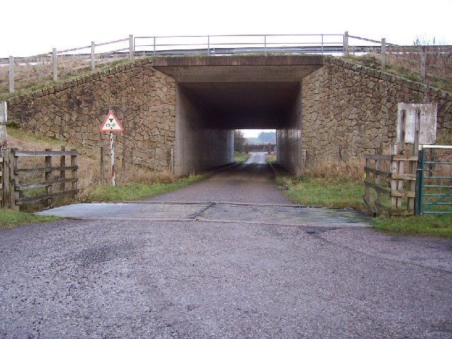
Although small in size, Town Gill is well-connected to neighboring towns and cities. The village has good road links, and public transportation options are readily available.
Overall, Town Gill is a peaceful and picturesque village that offers a serene and idyllic lifestyle in the heart of Westmorland. With its stunning natural surroundings and strong community spirit, it is a place that captures the essence of rural England.
If you have any feedback on the listing, please let us know in the comments section below.
Town Gill Images
Images are sourced within 2km of 54.585245/-2.6927931 or Grid Reference NY5521. Thanks to Geograph Open Source API. All images are credited.
Town Gill is located at Grid Ref: NY5521 (Lat: 54.585245, Lng: -2.6927931)
Administrative County: Cumbria
District: Eden
Police Authority: Cumbria
What 3 Words
///flops.video.browsers. Near Shap, Cumbria
Nearby Locations
Related Wikis

Thrimby
Thrimby is a hamlet and former civil parish, now in the parish of Little Strickland, in the Eden district of Cumbria, England. In 2001 the population of...

Great Strickland
Great Strickland is a village and civil parish in the Eden Valley between the Cumbrian mountains in the west and the Pennines in the east. It is 5 miles...

Leath
Leath was one of the wards of the historic county of Cumberland in north west England. Unlike most other English counties, Cumberland was divided into...

Hackthorpe
Hackthorpe is a hamlet in the Eden district, in the county of Cumbria, England. Circa 1870, it had a population of 110 as recorded in the Imperial Gazetteer...

Little Strickland
Little Strickland is a small village and civil parish in the Eden district of Cumbria, England. It is about 7 miles (11 km) from Penrith and 8 miles...
Lowther, Cumbria
Lowther is a civil parish in Westmorland and Furness, Cumbria. Within the parish are the settlements of Lowther Village, Newtown or Lowther Newtown, Hackthorpe...

Whale, Cumbria
Whale is a hamlet in the Westmorland and Furness unitary authority area, Cumbria, England. Historically in Westmorland, it is about a mile south of the...

Knipescar Common
Knipescar Common, or Knipe Scar, is an upland area in the east of the English Lake District, above the River Lowther, near Bampton, Cumbria. It is the...
Nearby Amenities
Located within 500m of 54.585245,-2.6927931Have you been to Town Gill?
Leave your review of Town Gill below (or comments, questions and feedback).