Howden Cleuch

Valley in Roxburghshire

Scotland

Howden Cleuch

A very empty looking valley This road is the B6357 hardly a B class road as it is really a single track road with passing places. The valley is used for sheep and cattle grazing.
A very empty looking valley Credit: Malcolm Neal

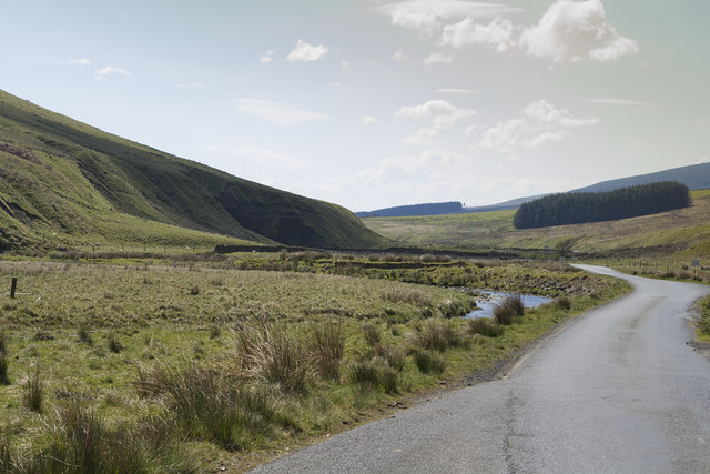
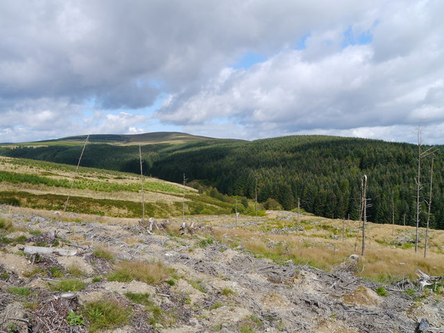
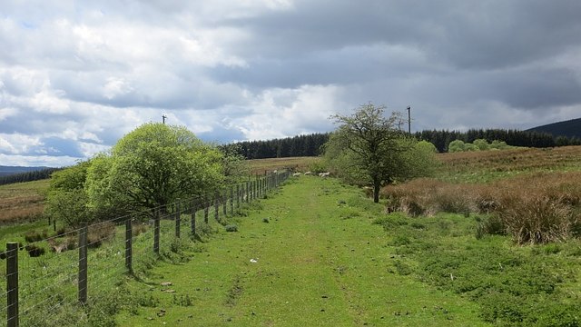
Howden Cleuch is a picturesque valley located in the region of Roxburghshire, in the Scottish Borders of Scotland. Situated in the southern part of the country, this valley is renowned for its stunning natural beauty and rich historical significance.

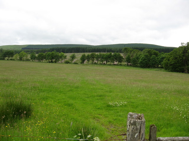
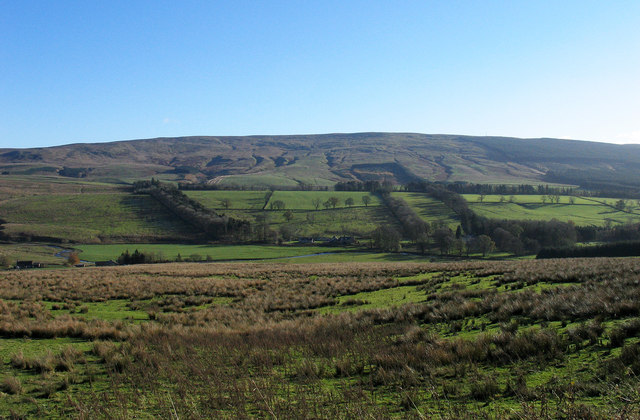
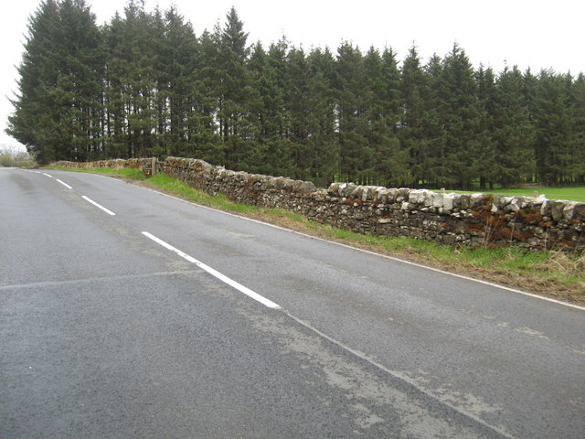
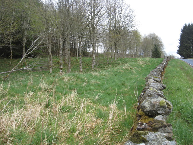
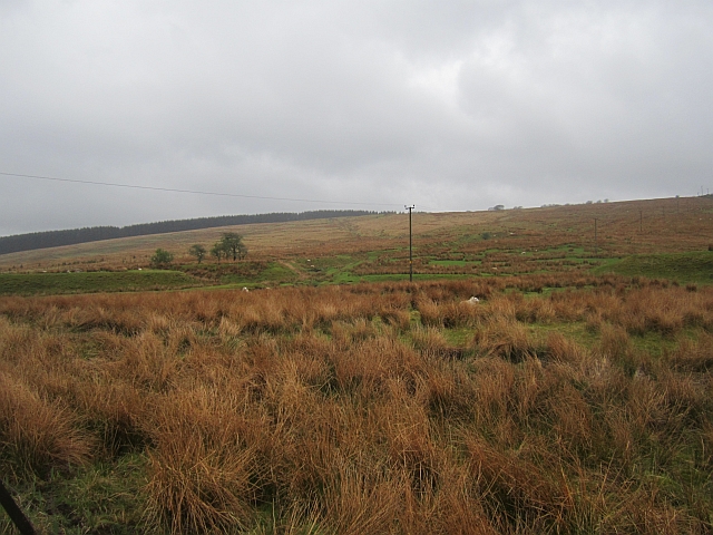
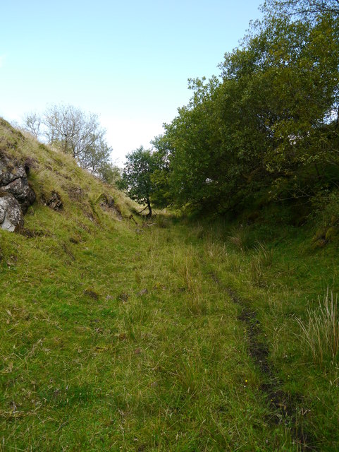
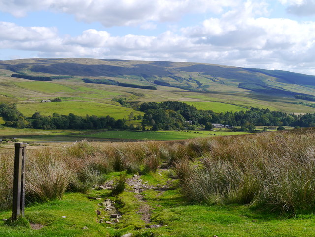
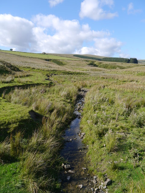
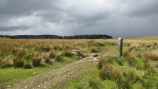
Nestled between rolling hills and surrounded by lush greenery, Howden Cleuch offers visitors a tranquil and idyllic escape from the hustle and bustle of modern life. The valley is characterized by its captivating landscape, with the meandering River Teviot flowing through it, adding to its charm.

The area is home to a diverse range of flora and fauna, making it a haven for nature enthusiasts and wildlife lovers. Visitors can spot a variety of bird species, including red kites and buzzards, as well as deer and other small mammals.

In addition to its natural splendor, Howden Cleuch boasts a rich historical heritage. The valley is dotted with remnants of ancient settlements, including Iron Age forts and Roman camps, providing a glimpse into the area's past. Furthermore, the nearby Minto Crags, a series of rocky cliffs, are believed to have been a site for prehistoric rituals.

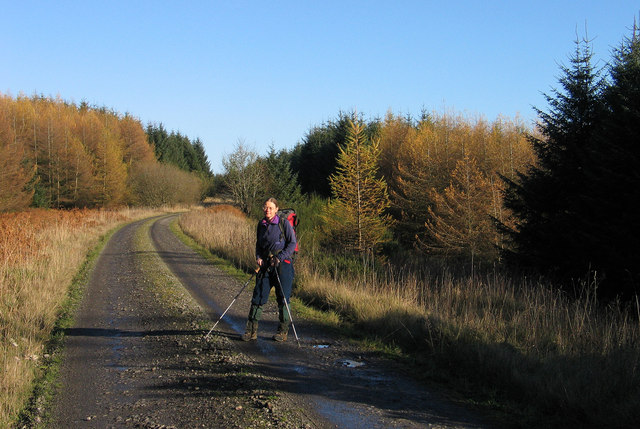
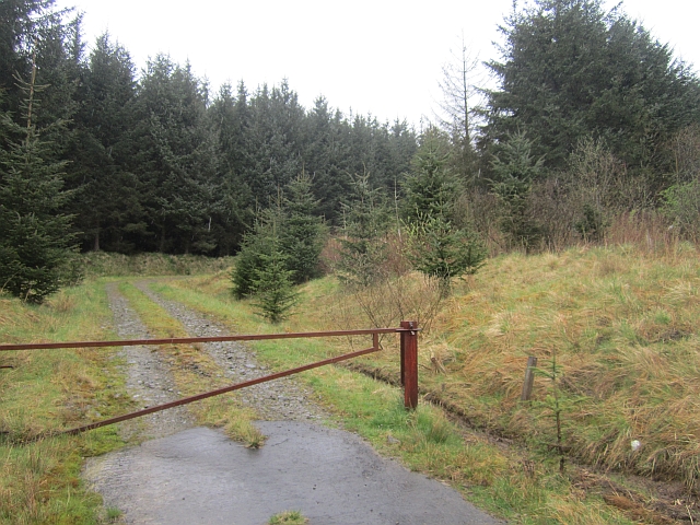
For those seeking outdoor activities, Howden Cleuch offers ample opportunities for hiking, walking, and cycling. There are several well-marked trails that wind through the valley, allowing visitors to explore its beauty at their own pace.

Overall, Howden Cleuch is a hidden gem in Roxburghshire, offering a harmonious blend of natural splendor and historical significance that is sure to captivate anyone who visits.

If you have any feedback on the listing, please let us know in the comments section below.

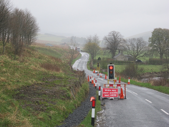
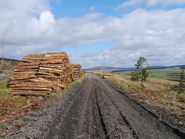
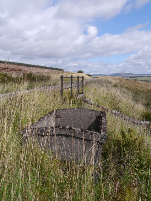
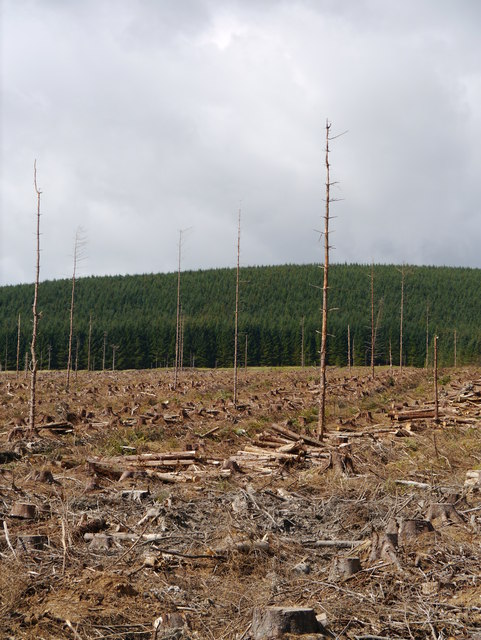
Howden Cleuch Images

Images are sourced within 2km of 55.245043/-2.7038152 or Grid Reference NY5594. Thanks to Geograph Open Source API. All images are credited.

A very empty looking valley This road is the B6357 hardly a B class road as it is really a single track road with passing places. The valley is used for sheep and cattle grazing.
A very empty looking valley
This road is the B6357 hardly a B class road as it is really a single track road with passing places. The valley is used for sheep and cattle grazing.
Farmlands near Larriston and Riccarton farms North of Newcastleton in Roxburghshire.
Farmlands near Larriston and Riccarton farms
North of Newcastleton in Roxburghshire.
Rail bed of the Waverley Line The rail bed is seen here in the vicinity of Todshaw Sike, looking towards Riccarton Junction. Work to reinstate the railway between Edinburgh and Tweedsbank is ongoing, (February 2013), but it seems that there are no plans at present to bring railway lines this far south!
Rail bed of the Waverley Line
The rail bed is seen here in the vicinity of Todshaw Sike, looking towards Riccarton Junction. Work to reinstate the railway between Edinburgh and Tweedsbank is ongoing, (February 2013), but it seems that there are no plans at present to bring railway lines this far south!
Rough grazing near to Riccarton Farm The slope descends to the valley of the Liddel Water from the dismantled railway route south of Riccarton Junction. Riccarton Farm is just out of view to the left side of the image. Larriston Fell is on the skyline.
Rough grazing near to Riccarton Farm
The slope descends to the valley of the Liddel Water from the dismantled railway route south of Riccarton Junction. Riccarton Farm is just out of view to the left side of the image. Larriston Fell is on the skyline.
Looking back on the B6357 and a woodland shelterbelt South of Larriston Farm in Roxburghshire.
Looking back on the B6357 and a woodland shelterbelt
South of Larriston Farm in Roxburghshire.
Young plantation and rough grassland south of Larristion Farm Off the B6357 in south Roxburghshire.
Young plantation and rough grassland south of Larristion Farm
Off the B6357 in south Roxburghshire.
Rashy pasture Wet hill pasture above Pinglehole gives an impression of what Kielder and Newcastleton was like before the Forestry Commission.
Rashy pasture
Wet hill pasture above Pinglehole gives an impression of what Kielder and Newcastleton was like before the Forestry Commission.
Riccarton Forest Privately managed woodland near Riccarton Junction, Liddesdale.
Riccarton Forest
Privately managed woodland near Riccarton Junction, Liddesdale.
Temporary traffic lights A timber lorry approaches roadworks on the B6357 in Liddesdale.
Temporary traffic lights
A timber lorry approaches roadworks on the B6357 in Liddesdale.
Timber Harvesting Operations, Riccarton Forest Harvested timber stacked beside the former Waverley Line between Steele Road and Riccarton Junction.
Timber Harvesting Operations, Riccarton Forest
Harvested timber stacked beside the former Waverley Line between Steele Road and Riccarton Junction.
Bunker And Bridge A bunker for ballast (to enable platelayers to do minor repacking) alongside a small bridge on the former Waverley Line.
Bunker And Bridge
A bunker for ballast (to enable platelayers to do minor repacking) alongside a small bridge on the former Waverley Line.
Bught Knowe Recently harvested forestry on Bught Knowe, viewed from the trackbed of the former Waverley Line.
Bught Knowe
Recently harvested forestry on Bught Knowe, viewed from the trackbed of the former Waverley Line.
A View Across The Valley Of The Riccarton Burn Extensive forestry in the Riccarton area, substantial stands of which are now being harvested.
A View Across The Valley Of The Riccarton Burn
Extensive forestry in the Riccarton area, substantial stands of which are now being harvested.
Palmer's Hill Cutting The east end of the cutting on the Border Counties Railway.  The west end of the cutting is deeper and rather marshy but easily passable.
Palmer's Hill Cutting
The east end of the cutting on the Border Counties Railway. The west end of the cutting is deeper and rather marshy but easily passable.
Liddesdale Vista A view of the scenic Liddesdale from the trackbed of the former Border Counties Railway.
Liddesdale Vista
A view of the scenic Liddesdale from the trackbed of the former Border Counties Railway.
Pinglehole Sike A small stream, viewed from beside the B6357 south of Saughtree.
Pinglehole Sike
A small stream, viewed from beside the B6357 south of Saughtree.
Border Counties Railway The trackbed between Riccarton Junction and Saughtree. It is now a very attractive track or path, although wet in one of the cuttings (not this one).
Border Counties Railway
The trackbed between Riccarton Junction and Saughtree. It is now a very attractive track or path, although wet in one of the cuttings (not this one).
Old gatepost Remains of the fence and gate alongside the Borders Counties Railway.
Old gatepost
Remains of the fence and gate alongside the Borders Counties Railway.
Show me another place!

Howden Cleuch is located at Grid Ref: NY5594 (Lat: 55.245043, Lng: -2.7038152)

Unitary Authority: The Scottish Borders

Police Authority: The Lothians and Scottish Borders

What 3 Words

///flooding.slam.launcher. Near Teviothead, Scottish Borders

Nearby Locations

Howden Cleuch Birny Brae

Related Wikis

Saughtree

Saughtree is a hamlet in the Scottish Borders at the junction of the B6357 and an unnamed road from Kielder village in Northumberland, England. It is at...

Riccarton Junction railway station

Riccarton Junction, in the county of Roxburghshire in the Scottish Borders, was a railway village and station. In its heyday it had 118 residents and its...

Saughtree railway station

Saughtree railway station is a closed railway station situated a mile north of the hamlet of Saughtree and two miles from the border with England. ��2...

Steele Road railway station

Steele Road railway station served the hamlet of Steele Road, Scottish Borders, Scotland, from 1862 to 1969 on the Border Union Railway. == History... ==

Dinlabyre

Dinlabyre is a village on the B6357 in Liddesdale, on the edge of the Newcastleton Forest, close to Castleton, in the Scottish Borders area of Scotland...

Hermitage Water

The Hermitage Water is a river in Liddesdale, in the Scottish Borders area of Scotland. Among its many feeder burns are Braidley Burn, Dinley Burn, Gorrenberry...

Ninestane Rig

Ninestane Rig (English: Nine Stone Ridge) is a small stone circle in Scotland near the English border. Located in Roxburghshire, near to Hermitage Castle...

Hermitage, Scottish Borders

Hermitage is a village near Newcastleton, on the B6399, in the Scottish Borders area of Scotland. == See also == List of places in the Scottish Borders...

Nearby Amenities

Located within 500m of 55.245043,-2.7038152
Larriston Rigg
Place: hamlet
Lat/Long: 55.2410632/-2.7031219
Riccarton Mill
Place: hamlet
Lat/Long: 55.2470258/-2.7102106
Power: pole
Lat/Long: 55.2469571/-2.7105315
The data included in this document is from www.openstreetmap.org. The data is made available under ODbL.

Have you been to Howden Cleuch?

Leave your review of Howden Cleuch below (or comments, questions and feedback).