Thrimby Mill Plantation

Wood, Forest in Westmorland Eden

England

Thrimby Mill Plantation

Grazing pasture near Little Strickland Earth moving equipment working on the bank of the River Leith
Grazing pasture near Little Strickland Credit: Eirian Evans

Thrimby Mill Plantation is a captivating woodland located in the scenic county of Westmorland, England. Encompassing an area of approximately 200 acres, this expansive plantation is nestled amidst the picturesque landscape of the Lake District National Park.

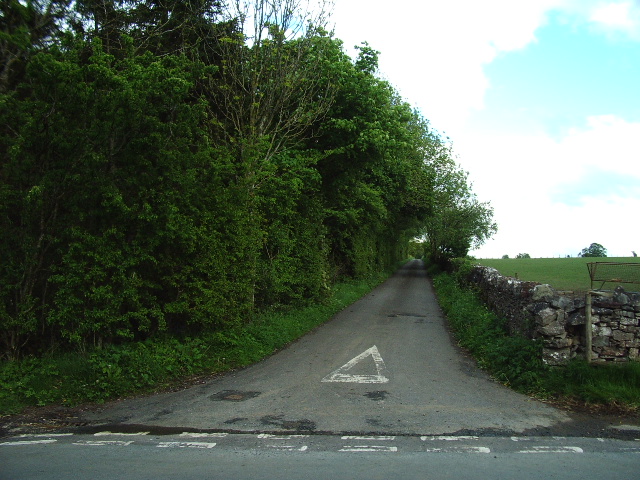
The woodland is predominantly composed of native deciduous trees, such as oak, beech, and birch, which form a lush canopy overhead. These majestic trees provide shade, shelter, and a rich habitat for a diverse array of flora and fauna. Bluebells, wild garlic, and ferns carpet the forest floor, creating a magical atmosphere.

Thrimby Mill Plantation is intersected by a tranquil stream, which meanders through the woodland, adding to its natural charm. The stream provides a source of water for the various inhabitants of the plantation, including a variety of bird species, small mammals, and amphibians.

The plantation serves as an important conservation area, preserving the natural beauty and biodiversity of the region. It is managed sustainably, with periodic tree thinning and selective felling to maintain a healthy ecosystem.

Visitors to Thrimby Mill Plantation can enjoy a range of activities, including walking, birdwatching, and picnicking. There are well-maintained footpaths that wind through the woodland, allowing visitors to explore its hidden corners and discover its inhabitants.

Thrimby Mill Plantation offers a peaceful retreat from the hustle and bustle of everyday life, providing an opportunity to reconnect with nature and experience the beauty of Westmorland's woodlands.

If you have any feedback on the listing, please let us know in the comments section below.

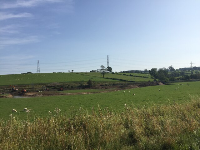
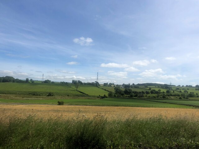
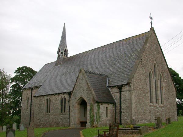
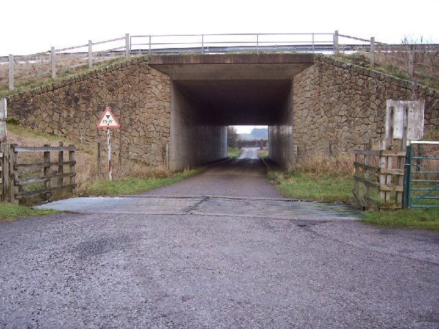
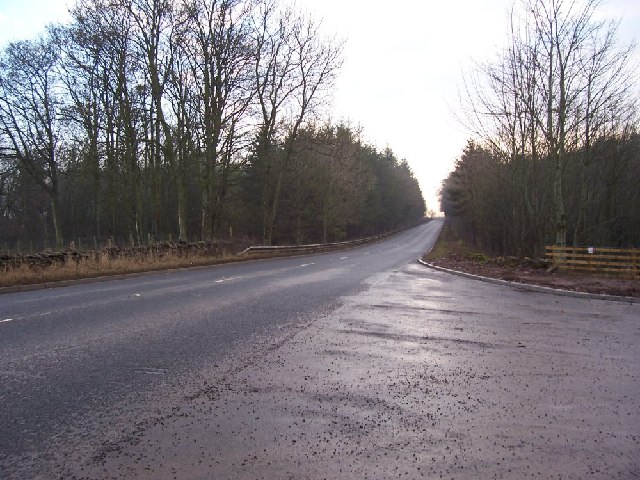
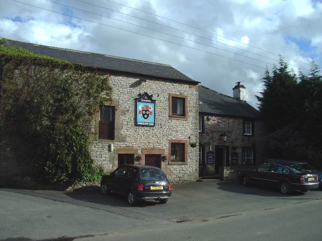
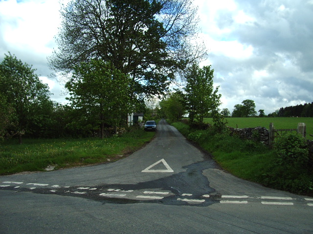
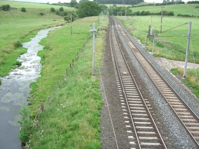
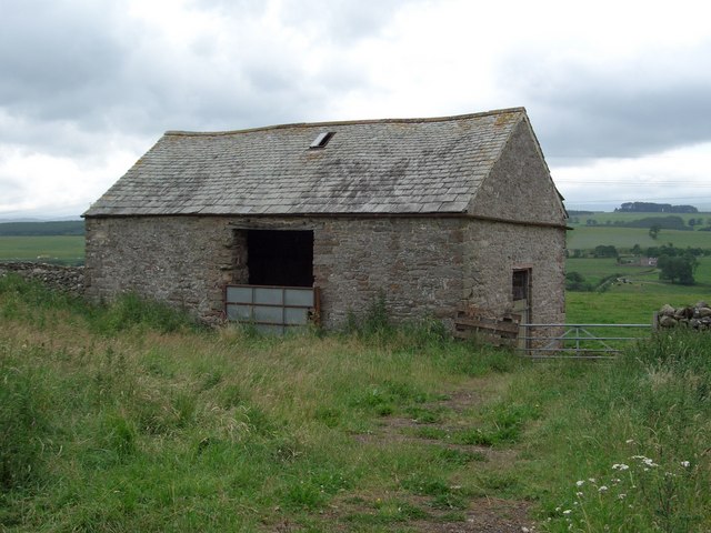
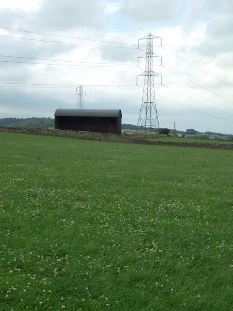
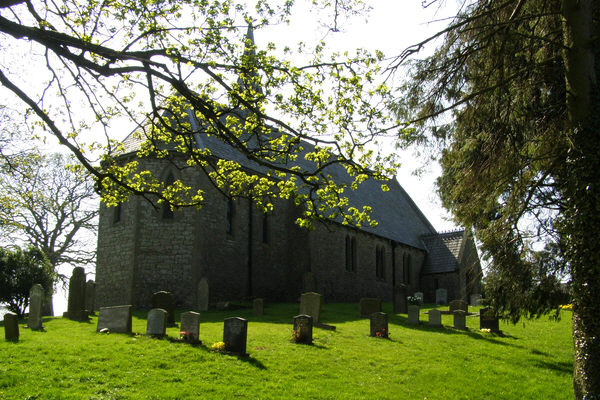
Thrimby Mill Plantation Images

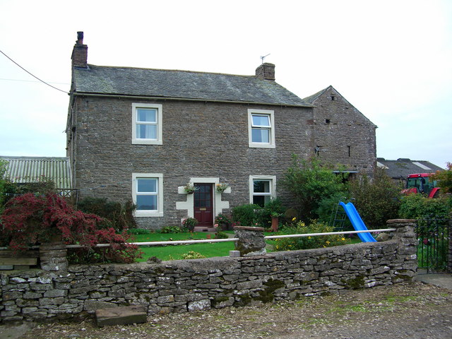
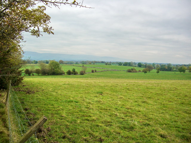
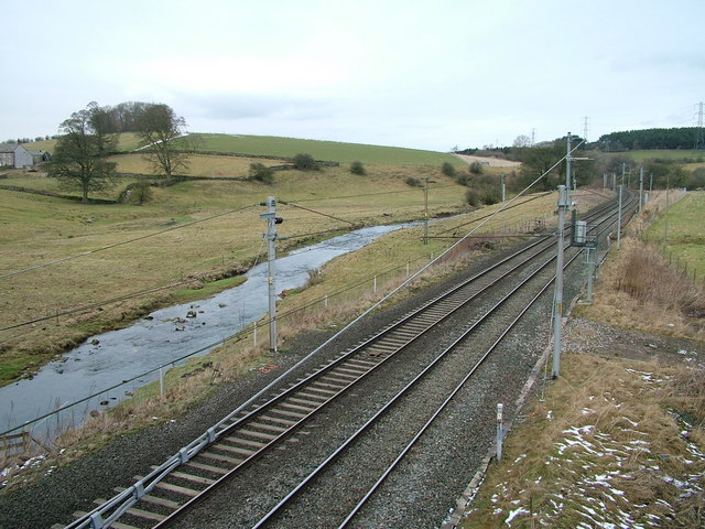
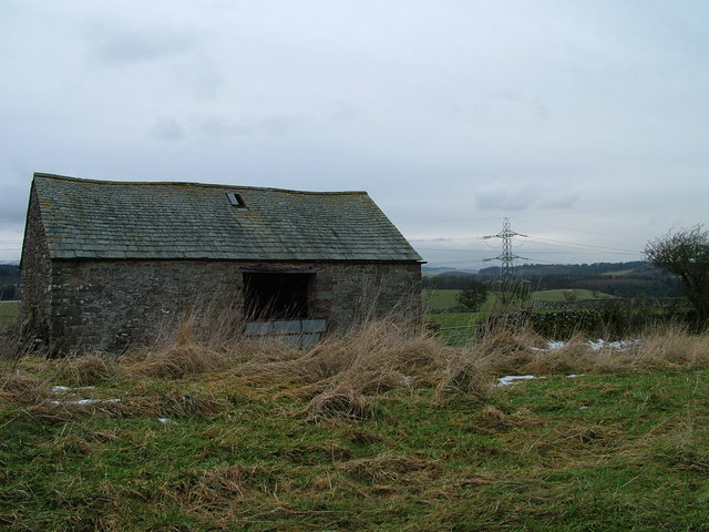
Images are sourced within 2km of 54.583627/-2.6849519 or Grid Reference NY5521. Thanks to Geograph Open Source API. All images are credited.

Grazing pasture near Little Strickland Earth moving equipment working on the bank of the River Leith
Grazing pasture near Little Strickland
Earth moving equipment working on the bank of the River Leith
Sheep pasture above Little Strickland
Newby - Shap road
Newby - Shap road
Field of wheat near the M6
St Barnabas' Church, Great Strickland St Barnabas' Church in the village of Great Strickland
St Barnabas' Church, Great Strickland
St Barnabas' Church in the village of Great Strickland
Thrimby Cottages Underpass. The tunnel is under the M6 and is very difficult to see on the maps.
Thrimby Cottages Underpass.
The tunnel is under the M6 and is very difficult to see on the maps.
New Entrance to Development. The old quarry is being used for a new development and the entrance opens onto the A6.
New Entrance to Development.
The old quarry is being used for a new development and the entrance opens onto the A6.
Strickland Arms, Great Stricklands
Inmoor Road, Great Stricklands
The Road to White Stone The woodland on the northeast of the road is Thorneycroft Plantation
The Road to White Stone
The woodland on the northeast of the road is Thorneycroft Plantation
Looking North from bridge at Thrimby West Coast main railway line and River Leith
Looking North from bridge at Thrimby
West Coast main railway line and River Leith
Roadside field barn Traditional field barn
Roadside field barn
Traditional field barn
Pylons and Barn Looking across farmland
Pylons and Barn
Looking across farmland
Great Strickland Church Church with an unusual wooden bell tower.
Great Strickland Church
Church with an unusual wooden bell tower.
Farmland
Farmland
River Leith and the west Coast Main Line
Barn near Thrimby
Barn near Thrimby
Show me another place!

Thrimby Mill Plantation is located at Grid Ref: NY5521 (Lat: 54.583627, Lng: -2.6849519)

Administrative County: Cumbria

District: Eden

Police Authority: Cumbria

What 3 Words

///distilled.requests.space. Near Shap, Cumbria

Related Wikis

Thrimby

Thrimby is a hamlet and former civil parish, now in the parish of Little Strickland, in the Eden district of Cumbria, England. In 2001 the population of...

Little Strickland

Little Strickland is a small village and civil parish in the Eden district of Cumbria, England. It is about 7 miles (11 km) from Penrith and 8 miles...

Great Strickland

Great Strickland is a village and civil parish in the Eden Valley between the Cumbrian mountains in the west and the Pennines in the east. It is 5 miles...

Leath

Leath was one of the wards of the historic county of Cumberland in north west England. Unlike most other English counties, Cumberland was divided into...

Nearby Amenities

Located within 500m of 54.583627,-2.6849519
Power: tower
Lat/Long: 54.5846641/-2.6870623
Power: tower
Lat/Long: 54.587163/-2.688445
Design: three-level
Power: tower
Lat/Long: 54.5813694/-2.6843716
Design: three-level
Power: tower
Lat/Long: 54.5843458/-2.6860171
Design: three-level
Power: tower
Lat/Long: 54.5870716/-2.6874465
Design: three-level
Power: tower
Lat/Long: 54.5819058/-2.6855577
Power: pole
Lat/Long: 54.5797456/-2.6849543
Power: pole
Lat/Long: 54.5813211/-2.6857469
Power: pole
Lat/Long: 54.5821605/-2.6861545
Power: pole
Lat/Long: 54.5829082/-2.6865247
Power: pole
Lat/Long: 54.5836869/-2.686868
Power: pole
Lat/Long: 54.584475/-2.6872945
Power: pole
Lat/Long: 54.5852133/-2.6878363
Power: pole
Lat/Long: 54.5860666/-2.6885122
Power: pole
Lat/Long: 54.5869013/-2.6891774
Sheriffs Park
Description: OS trig pillar
Ele: 254.2
Man Made: survey_point
Note: Accurate location import for imagery offset calibration. Please do not move.
Ref: 10416
Source: Ordnance Survey (OGL)
Survey Point: pillar
Lat/Long: 54.5844321/-2.685806
Power: pole
Lat/Long: 54.5801101/-2.6815849
Power: pole
Lat/Long: 54.5807491/-2.6817483
Power: pole
Lat/Long: 54.5816444/-2.6820011
Power: pole
Lat/Long: 54.5827266/-2.6822843
Power: pole
Lat/Long: 54.5834262/-2.6824826
Power: pole
Lat/Long: 54.5843871/-2.682755
Power: pole
Lat/Long: 54.5851977/-2.6829576
Power: pole
Lat/Long: 54.5862432/-2.6832409
Power: pole
Lat/Long: 54.5872154/-2.6834827
Power: pole
Lat/Long: 54.5833618/-2.6811862
Power: pole
Lat/Long: 54.583315/-2.6800161
Power: pole
Lat/Long: 54.5832671/-2.6788722
Power: pole
Lat/Long: 54.5832014/-2.6775518
Power: pole
Lat/Long: 54.5879186/-2.6869929
Power: pole
Lat/Long: 54.587531/-2.6879647
The data included in this document is from www.openstreetmap.org. The data is made available under ODbL.

Have you been to Thrimby Mill Plantation?

Leave your review of Thrimby Mill Plantation below (or comments, questions and feedback).