Fell Plantation
Wood, Forest in Lancashire Wyre
England
Fell Plantation

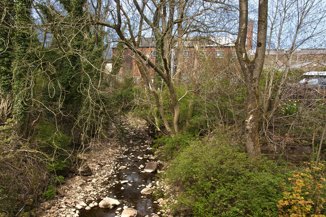
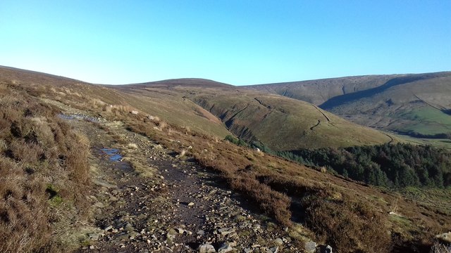
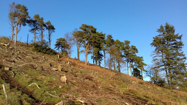
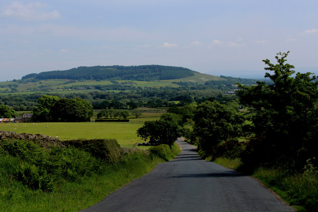
Fell Plantation, located in Lancashire, England, is a sprawling woodland area known for its dense forest and scenic beauty. Covering an expansive area, it is recognized as one of the largest plantations in the region. The plantation primarily consists of a variety of tree species, including oak, beech, birch, and coniferous trees, creating a diverse and vibrant ecosystem.
The woodland is a haven for nature enthusiasts, offering numerous opportunities for outdoor activities such as hiking, birdwatching, and wildlife spotting. The dense foliage provides a habitat for a wide range of animals, including squirrels, deer, and various bird species, making it a popular destination for nature lovers and photographers alike.
Fell Plantation is also known for its historical significance. With a history dating back several centuries, it was initially established as a source of timber for Lancashire's growing industries. The plantation played a crucial role in supplying wood for construction, shipbuilding, and fuel.
Today, Fell Plantation is managed by local authorities to preserve its natural beauty and ecological balance. It boasts well-maintained trails and paths, allowing visitors to explore the woodland at their own pace. The plantation is easily accessible, with ample parking facilities and information boards providing visitors with insights into the area's history and biodiversity.
Overall, Fell Plantation offers a tranquil retreat for those seeking solace in nature, with its lush greenery, diverse wildlife, and a rich historical background.
If you have any feedback on the listing, please let us know in the comments section below.
Fell Plantation Images
Images are sourced within 2km of 53.913914/-2.6821467 or Grid Reference SD5546. Thanks to Geograph Open Source API. All images are credited.


Fell Plantation is located at Grid Ref: SD5546 (Lat: 53.913914, Lng: -2.6821467)
Administrative County: Lancashire
District: Wyre
Police Authority: Lancashire
What 3 Words
///confining.fellow.flux. Near Garstang, Lancashire
Nearby Locations
Related Wikis
Oakenclough
Oakenclough () is an English hamlet located on the edge of the Forest of Bowland in Lancashire. Oakenclough is a small and scattered community, which appears...
Calder Vale
Calder Vale is an English village, located on the edge of the Forest of Bowland in Lancashire. It lies on the River Calder in a deep valley with only...

Bleasdale
Bleasdale is a village and civil parish in the Wyre district of Lancashire, England, in the Forest of Bowland Area of Outstanding Natural Beauty. The two...

Barnacre-with-Bonds
Barnacre-with-Bonds is a civil parish in the Wyre district of Lancashire, England. According to the 2001 census it had a population of 1,751 increasing...
Nearby Amenities
Located within 500m of 53.913914,-2.6821467Have you been to Fell Plantation?
Leave your review of Fell Plantation below (or comments, questions and feedback).