Highlander Wood

Wood, Forest in Westmorland South Lakeland

England

Highlander Wood

A65 crossing M6 motorway
A65 crossing M6 motorway Credit: Alpin Stewart

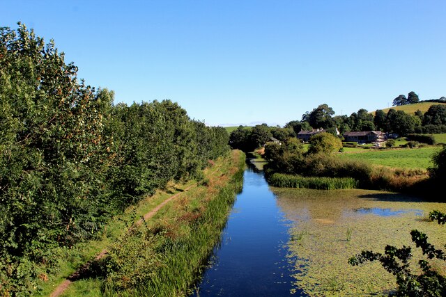
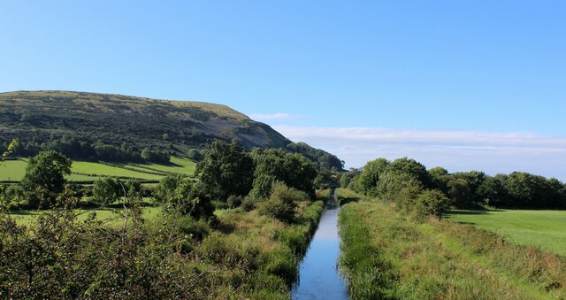
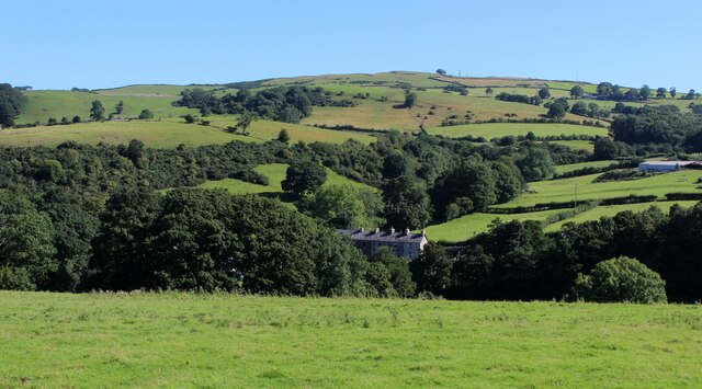
Highlander Wood, located in Westmorland, is a picturesque forest that covers an area of approximately 500 acres. It is known for its stunning natural beauty and diverse range of flora and fauna. The wood is situated in a rural area, surrounded by rolling hills and a tranquil atmosphere, making it a popular destination for nature enthusiasts and hikers.

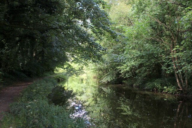
The wood is predominantly made up of mature oak trees, which provide a dense canopy that filters sunlight and creates a cool and shaded environment below. Several walking trails wind through the woodland, offering visitors the opportunity to explore its hidden corners and discover the various species of plants and wildlife that call the area home.

The forest is home to a rich variety of bird species, including woodpeckers, owls, and warblers, making it a haven for birdwatchers. Other animals that can be spotted in Highlander Wood include deer, foxes, and squirrels. The wood is also known for its diverse range of wildflowers, including bluebells, primroses, and foxgloves, which carpet the forest floor during the spring months.

In addition to its natural beauty, Highlander Wood also has historical significance. It is believed that the wood has been in existence for centuries and has played a role in local folklore. The wood is home to several ancient stone circles and burial mounds, which are remnants of its ancient past and add an air of mystery to the surroundings.

Overall, Highlander Wood offers a serene and captivating experience for visitors, with its scenic beauty, abundant wildlife, and historical charm. It is a place where one can immerse themselves in nature and appreciate the wonders of the Westmorland countryside.

If you have any feedback on the listing, please let us know in the comments section below.

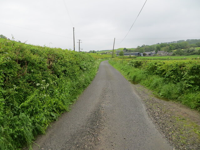
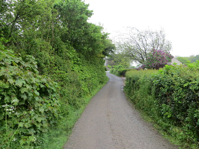
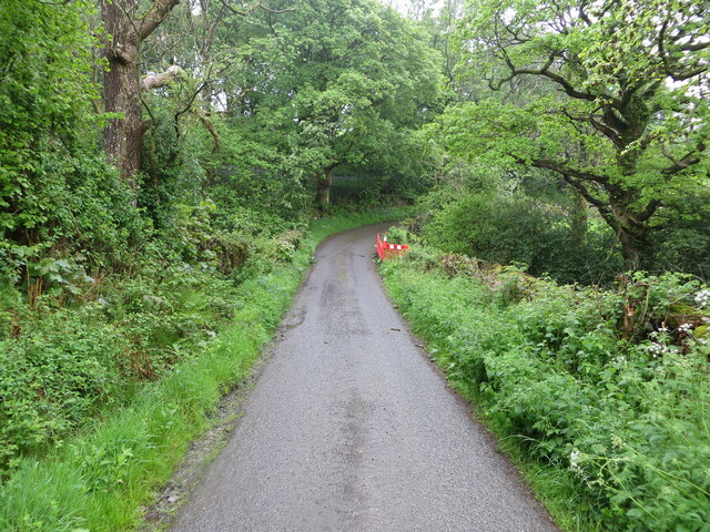
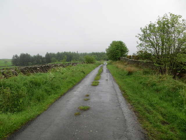
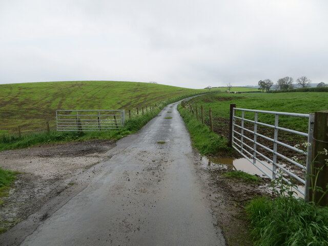
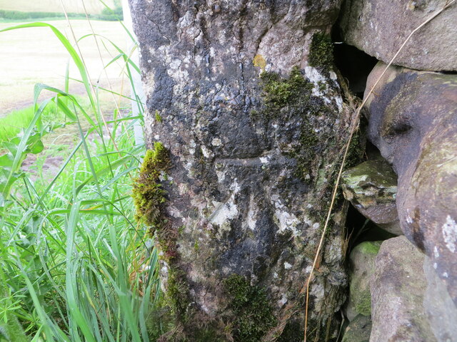
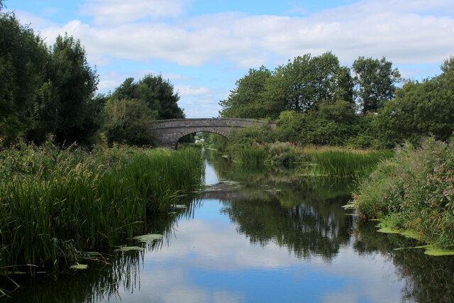
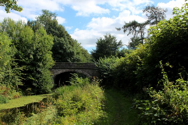
Highlander Wood Images

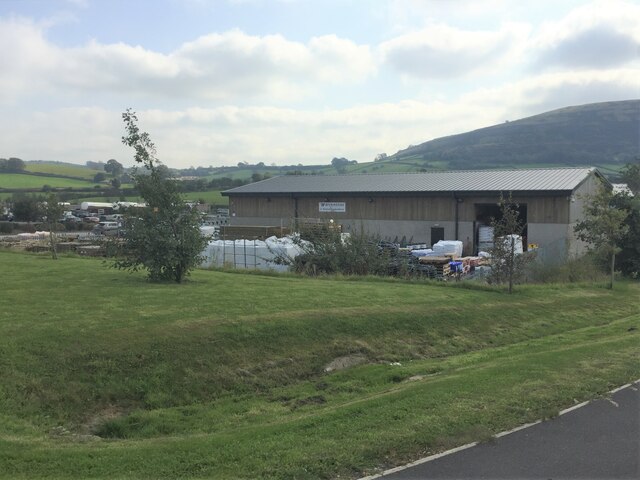
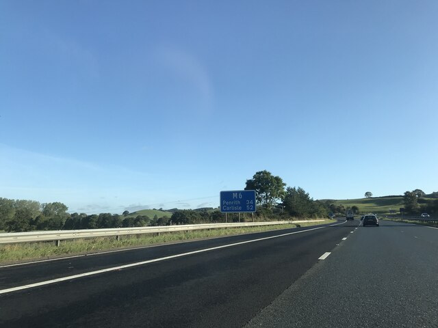
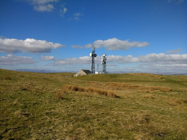
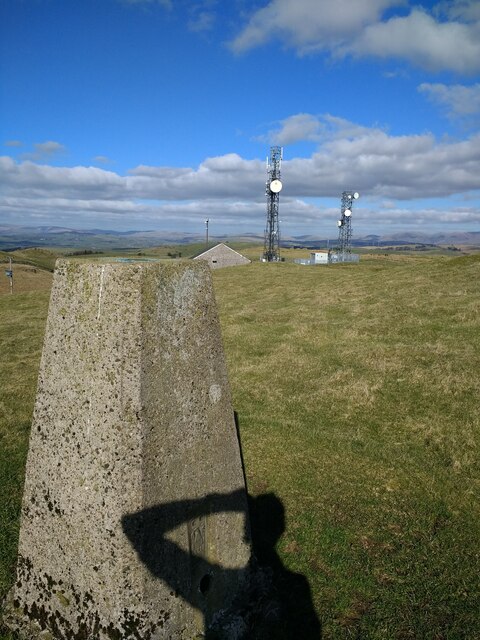
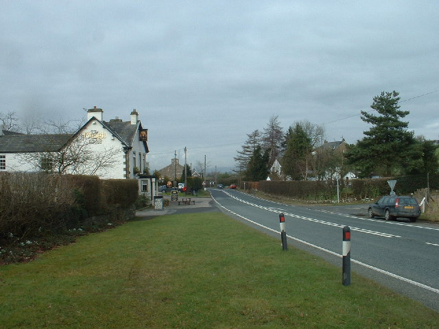
Images are sourced within 2km of 54.235114/-2.6875424 or Grid Reference SD5582. Thanks to Geograph Open Source API. All images are credited.

A65 crossing M6 motorway
Wynnstay Stores, Kendal Farm and garden supplies here at the Rural Auction Centre south of Kendal
Wynnstay Stores, Kendal
Farm and garden supplies here at the Rural Auction Centre south of Kendal
M6 North of Junction 36 The M6 motorway runs from junction 19 of the M1 at the Catthorpe Interchange, near Rugby to the Gretna junction (J45). Here it becomes the A74(M) and M74 which continues to Glasgow.

The M6 is the longest motorway in the United Kingdom (232 miles) and one of the busiest. It incorporates the first length of motorway opened in the UK (the Preston bypass in 1958) and forms part of a motorway "Backbone of Britain", running north-south between London and Glasgow via the industrial north of England. It is also part of the east-west route between the Midlands and the east coast ports.
M6 North of Junction 36
The M6 motorway runs from junction 19 of the M1 at the Catthorpe Interchange, near Rugby to the Gretna junction (J45). Here it becomes the A74(M) and M74 which continues to Glasgow. The M6 is the longest motorway in the United Kingdom (232 miles) and one of the busiest. It incorporates the first length of motorway opened in the UK (the Preston bypass in 1958) and forms part of a motorway "Backbone of Britain", running north-south between London and Glasgow via the industrial north of England. It is also part of the east-west route between the Midlands and the east coast ports.
Signage  - M6 northbound
Signage - M6 northbound
Scout Hill masts
Scout Hill masts
Scout Hill masts from trig
Hedge-lined minor road approaching Yew Tree Farm Looking north-eastward.
Hedge-lined minor road approaching Yew Tree Farm
Looking north-eastward.
Hedge-lined minor road near to Black Yeats Looking south-westward.
Hedge-lined minor road near to Black Yeats
Looking south-westward.
Minor road at Hellgill Bridge Looking southward. The bridge parapet awaits repair.
Minor road at Hellgill Bridge
Looking southward. The bridge parapet awaits repair.
Wall enclosed minor road near to Warth Looking eastward.
Wall enclosed minor road near to Warth
Looking eastward.
Minor road near to Lupton Hall Looking south-westward.
Minor road near to Lupton Hall
Looking south-westward.
Ordnance Survey Cut Mark This mark can be found on a gatepost near Lupton Hall.
The recorded details give a height of 126.4471 metres above sea level.
For more detail see : <span class="nowrap"><a title="https://www.bench-marks.org.uk/bm171814" rel="nofollow ugc noopener" href="https://www.bench-marks.org.uk/bm171814">Link</a><img style="margin-left:2px;" alt="External link" title="External link - shift click to open in new window" src="https://s1.geograph.org.uk/img/external.png" width="10" height="10"/></span>
Ordnance Survey Cut Mark
This mark can be found on a gatepost near Lupton Hall. The recorded details give a height of 126.4471 metres above sea level. For more detail see : LinkExternal link
Lancaster Canal at Millness The canal is no longer navigable at this juncture, since the construction of the M6 motorway.
It is, however, a fine place to walk and admire the diverse array of vegetation.
Lancaster Canal at Millness
The canal is no longer navigable at this juncture, since the construction of the M6 motorway. It is, however, a fine place to walk and admire the diverse array of vegetation.
The A65 crosses the Lancaster Canal at Millness Hill Bridge No. 163 on the Lancaster Canal, which is no longer navigable at this point, although it does display a wide range of water vegetation - much of it floating on the surface.
The A65 crosses the Lancaster Canal at Millness Hill
Bridge No. 163 on the Lancaster Canal, which is no longer navigable at this point, although it does display a wide range of water vegetation - much of it floating on the surface.
Lancaster Canal at Millness Hill No longer navigable along this stretch since the construction of the M6 motorway.
Lancaster Canal at Millness Hill
No longer navigable along this stretch since the construction of the M6 motorway.
Lancaster Canal looking North from Dovehouses Bridge The canal is no longer navigable at this point, since the construction of the M6 motorway, but does display an interesting variety of water borne vegetation
Lancaster Canal looking North from Dovehouses Bridge
The canal is no longer navigable at this point, since the construction of the M6 motorway, but does display an interesting variety of water borne vegetation
Lancaster Canal looking South from Dovehouses Bridge The canal heading south passed the bas of Farleton Fell.
The waterway is no longer navigable at this point, since the opening of the M6 motorway - much of it now chocked by vegetation
Lancaster Canal looking South from Dovehouses Bridge
The canal heading south passed the bas of Farleton Fell. The waterway is no longer navigable at this point, since the opening of the M6 motorway - much of it now chocked by vegetation
Footpath heading towards Nook Bridge The footpath heads across unkempt pasture, a very faint route - almost invisible to the naked eye.
A fine view is on offer, over drumlin country in this corner of the old county of Westmorland.
Footpath heading towards Nook Bridge
The footpath heads across unkempt pasture, a very faint route - almost invisible to the naked eye. A fine view is on offer, over drumlin country in this corner of the old county of Westmorland.
Show me another place!

Highlander Wood is located at Grid Ref: SD5582 (Lat: 54.235114, Lng: -2.6875424)

Administrative County: Cumbria

District: South Lakeland

Police Authority: Cumbria

What 3 Words

///loops.slouched.defenders. Near Milnthorpe, Cumbria

Nearby Locations

Highlander Wood

Related Wikis

Lupton, Cumbria

Lupton is a linear village and civil parish in the South Lakeland district of Cumbria, England, along the main A65 road north west of Kirkby Lonsdale,...

Preston Patrick

Preston Patrick is a village and civil parish in South Lakeland, Cumbria, England. It has junction 36 of the M6 motorway in its south west corner and extends...

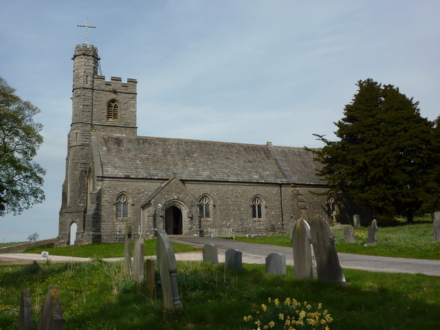
St Patrick's Church, Preston Patrick

St Patrick's Church is the parish church of Preston Patrick, Cumbria, England. It is an active Anglican church, one of eight parish churches served by...

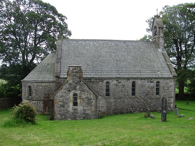
All Saints Church, Lupton

All Saints Church is in the village of Lupton, Cumbria, England. It is an active Anglican parish church in the deanery of Kendal, the archdeaconry of...

Nearby Amenities

Located within 500m of 54.235114,-2.6875424
Barrier: stile
Lat/Long: 54.2334079/-2.6864631
Barrier: stile
Lat/Long: 54.2341774/-2.6874983
Ford: yes
Lat/Long: 54.2366893/-2.6885264
Howe Hill
Natural: peak
Lat/Long: 54.2368726/-2.6921425
The data included in this document is from www.openstreetmap.org. The data is made available under ODbL.

Have you been to Highlander Wood?

Leave your review of Highlander Wood below (or comments, questions and feedback).