New Mills Plantation
Wood, Forest in Cumberland Carlisle
England
New Mills Plantation
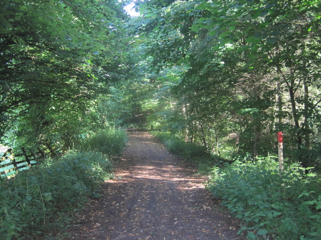
New Mills Plantation is a sprawling woodland area located in Cumberland, a county in northwest England. Situated in close proximity to the town of New Mills, the plantation covers a vast expanse of dense forest, making it a significant natural landmark in the region.
The woodland is predominantly composed of various species of trees, including oak, beech, and pine, creating a diverse and picturesque environment. The plantation is known for its rich biodiversity, providing a habitat for numerous plants, animals, and bird species. The forest floor is covered in a thick layer of moss and ferns, contributing to the overall lushness of the area.
New Mills Plantation is a popular destination for nature enthusiasts, hikers, and birdwatchers. It offers a plethora of walking trails, allowing visitors to explore the woodland and immerse themselves in its tranquil atmosphere. The plantation is also home to a variety of wildlife, such as deer, rabbits, and squirrels, which can often be spotted by observant visitors.
The management of New Mills Plantation is committed to preserving the natural integrity of the woodland. Regular tree planting initiatives and conservation efforts ensure the sustainability of the plantation's ecosystem. The area is also used for educational purposes, with local schools frequently organizing nature walks and outdoor learning activities.
Overall, New Mills Plantation is a captivating natural resource, offering a serene escape from the hustle and bustle of everyday life. Its breathtaking beauty and abundant wildlife make it a cherished destination for both locals and tourists alike, who seek solace and appreciate the wonders of nature.
If you have any feedback on the listing, please let us know in the comments section below.
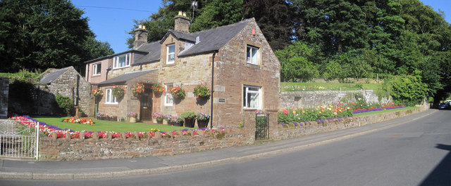
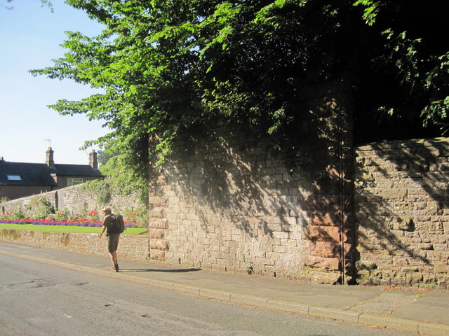
New Mills Plantation Images
Images are sourced within 2km of 54.948448/-2.6998083 or Grid Reference NY5561. Thanks to Geograph Open Source API. All images are credited.


New Mills Plantation is located at Grid Ref: NY5561 (Lat: 54.948448, Lng: -2.6998083)
Administrative County: Cumbria
District: Carlisle
Police Authority: Cumbria
What 3 Words
///grades.football.gymnasium. Near Brampton, Cumbria
Nearby Locations
Related Wikis

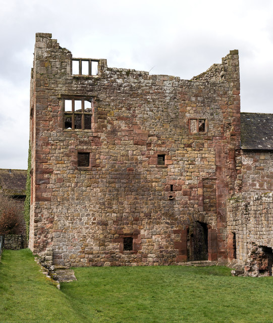
Naworth Castle
Naworth Castle, also known or recorded in historical documents as "Naward", is a castle in Cumbria, England, near the town of Brampton. It is adjacent...
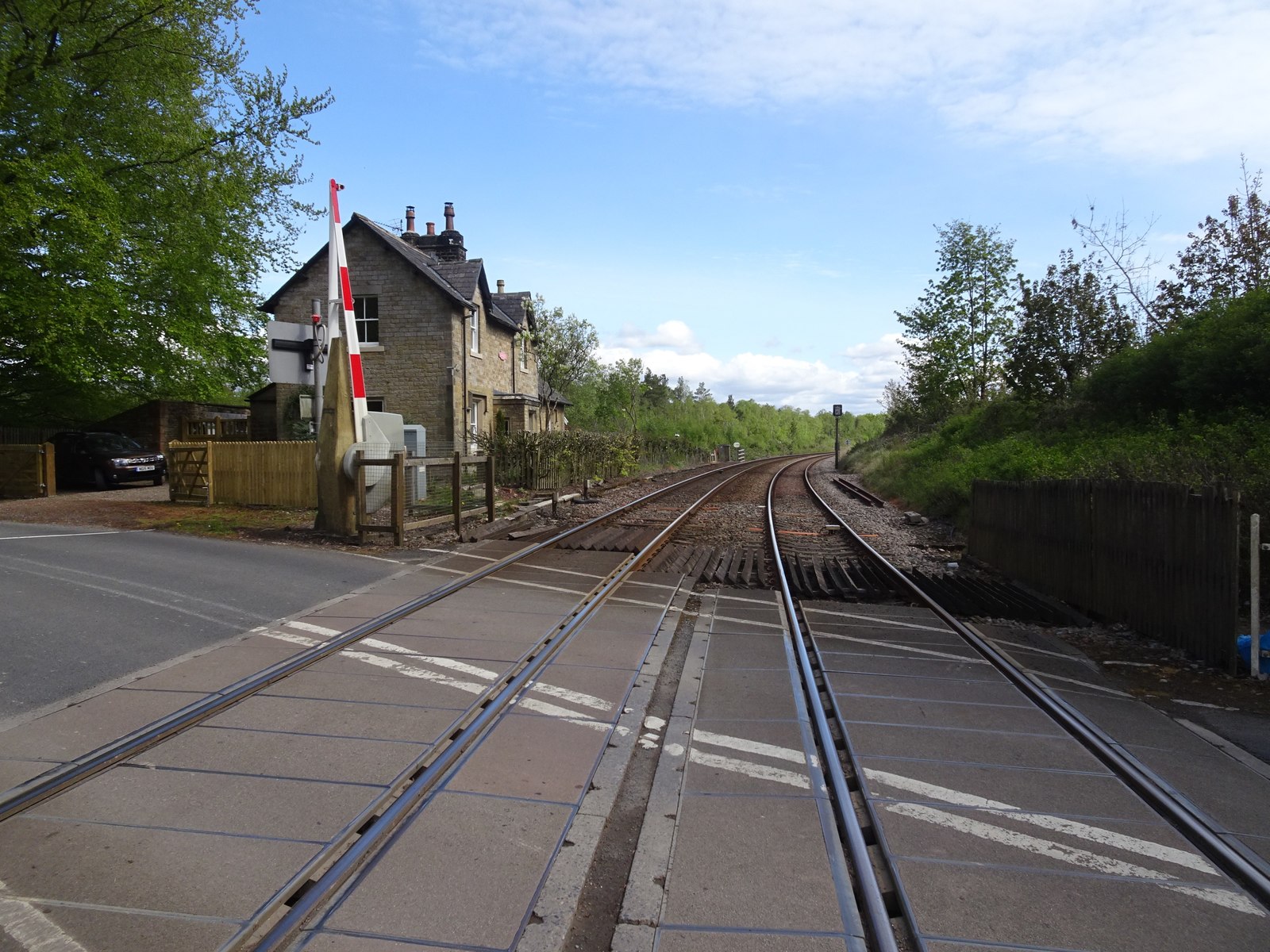
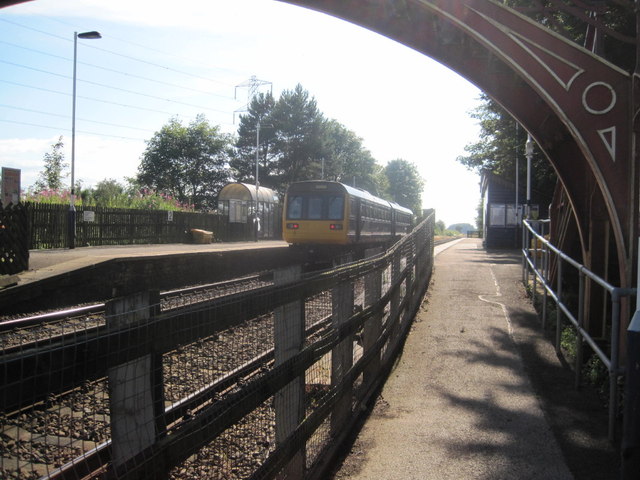
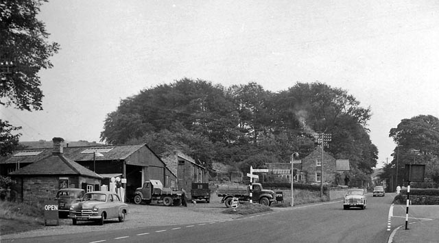
Naworth railway station
Naworth is a former railway station, which served the hamlet of Naworth in Cumbria. The station served the Tyne Valley Line between 1871 and 1952. ��2...
Brampton Town railway station
Brampton Town railway station was the terminus of the Brampton Town Branch, in the centre of Brampton, Cumbria, England. It was opened in 1775, to work...
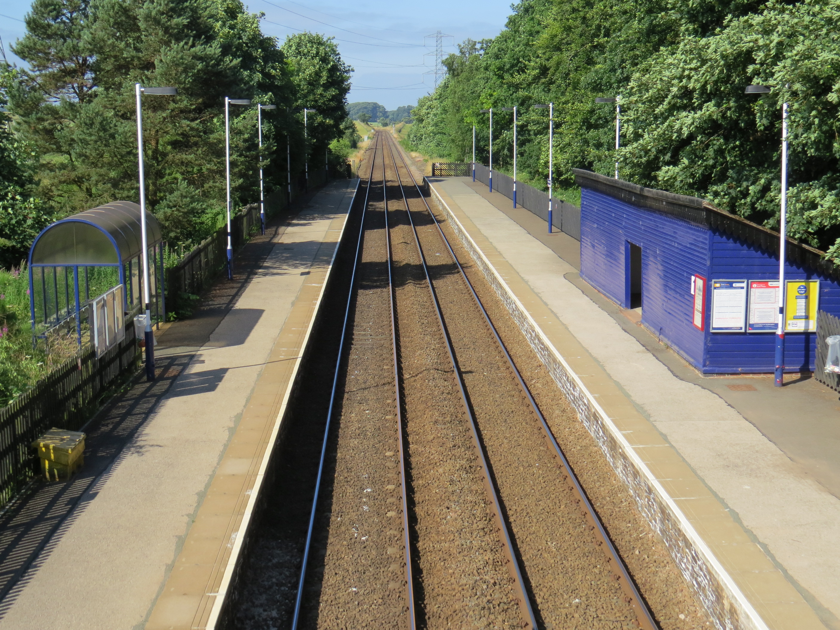
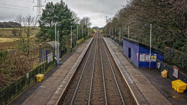
Brampton railway station (Cumbria)
Brampton (Cumbria) is a railway station on the Tyne Valley Line, which runs between Newcastle and Carlisle via Hexham. The station, situated 10 miles 62...

Lanercost
Lanercost is a village in the northern part of Cumbria, England. The settlement is in the civil parish of Burtholme, in the City of Carlisle local government...

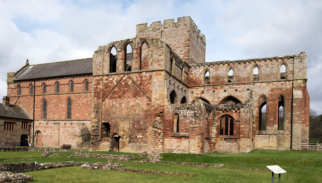
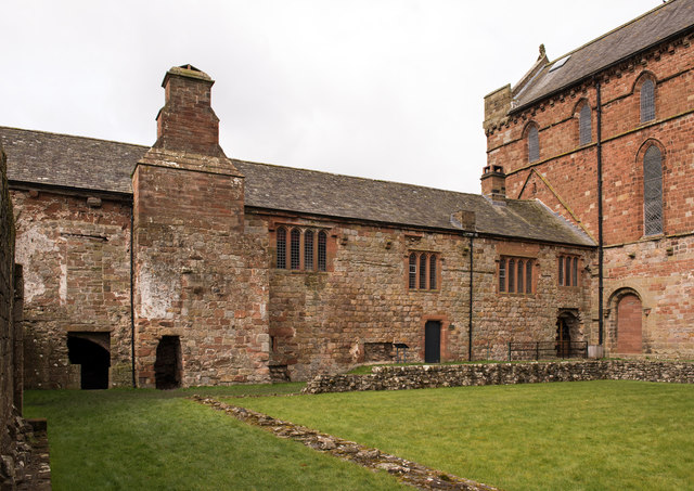
Lanercost Priory
Lanercost Priory was founded by Robert de Vaux between 1165 and 1174, the most likely date being 1169, to house Augustinian canons. The priory is situated...

King Water
King Water is a river in the north of Cumbria, England. The Brampton Angling Association has a long term let from the Earl of Carlisle for fishing rights...

Brampton, Carlisle
Brampton is a market town and civil parish in the Cumberland unitary authority of Cumbria, England. It is 9 miles (14 km) east of Carlisle and 2 miles...
Nearby Amenities
Located within 500m of 54.948448,-2.6998083Have you been to New Mills Plantation?
Leave your review of New Mills Plantation below (or comments, questions and feedback).