Allen's Grove

Wood, Forest in Gloucestershire Forest of Dean

England

Allen's Grove

B4228 at Ghyll House Farm
B4228 at Ghyll House Farm Credit: Colin Pyle

Allen's Grove is a charming woodland area located in Gloucestershire, England. Situated in the heart of the county, this idyllic spot is a haven for nature enthusiasts and outdoor lovers alike. The grove is part of the larger Gloucestershire Forest, an expansive wooded area that stretches across the region.

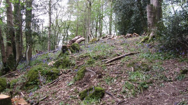
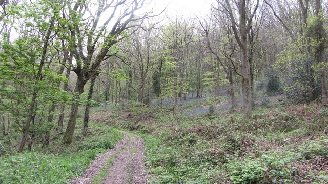
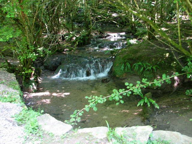
Covering an area of approximately 100 acres, Allen's Grove is characterized by its dense and diverse collection of trees, including oak, beech, and birch. The forest floor is adorned with a vibrant carpet of wildflowers and ferns, creating a picturesque setting. The grove is intersected by several walking trails, allowing visitors to explore its natural beauty at their own pace.

Wildlife thrives in Allen's Grove, and it is home to a variety of species. Birdwatchers can spot a plethora of avian creatures, such as woodpeckers, owls, and various songbirds. Squirrels and rabbits can also be observed darting through the undergrowth, adding to the area's lively atmosphere.

For those seeking a peaceful retreat, Allen's Grove provides numerous picnic areas where visitors can relax and enjoy the tranquil surroundings. The grove is a popular destination for families, hikers, and photographers, offering a serene escape from the hustle and bustle of everyday life.

Allen's Grove is easily accessible by road, with ample parking available nearby. Its proximity to Gloucester and other nearby towns makes it a convenient day trip destination for both locals and tourists. Embracing the essence of Gloucestershire's natural beauty, Allen's Grove is a place where one can immerse themselves in the wonders of the woodland and reconnect with nature.

If you have any feedback on the listing, please let us know in the comments section below.

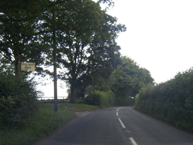
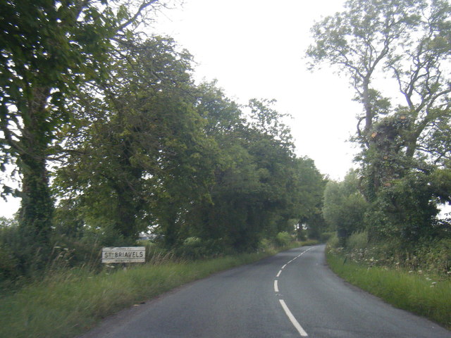
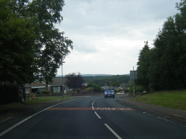
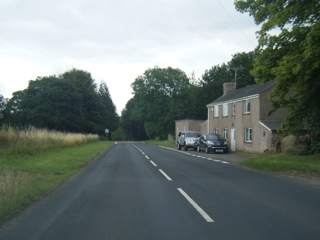
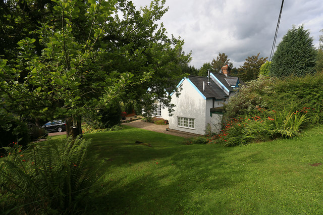
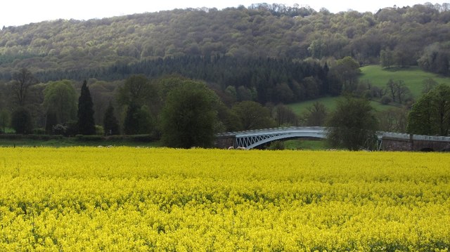
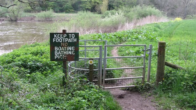
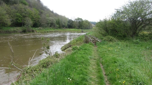
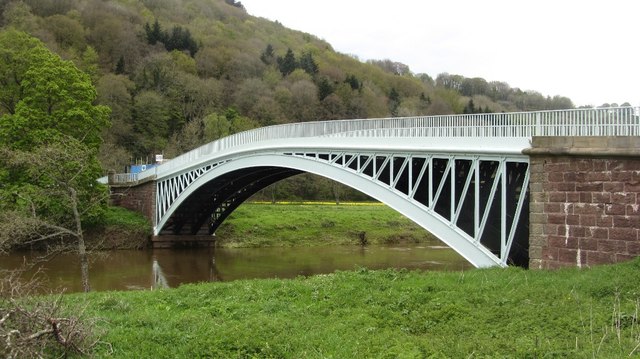
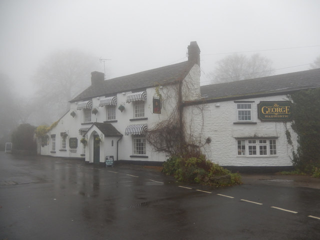
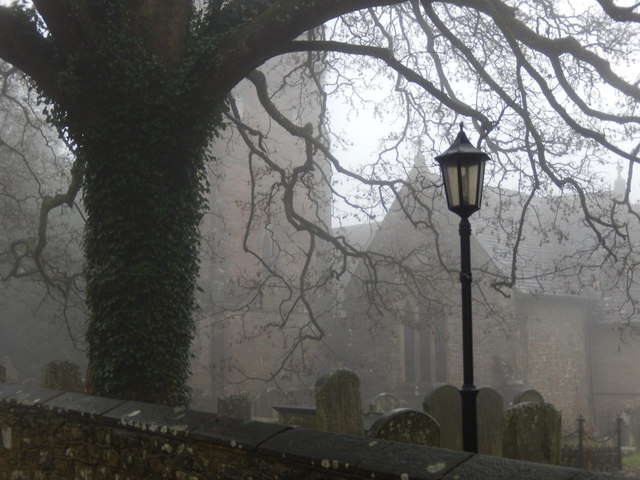
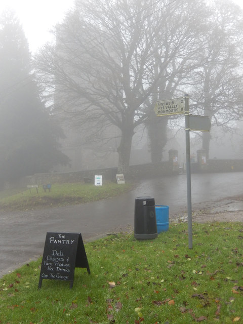
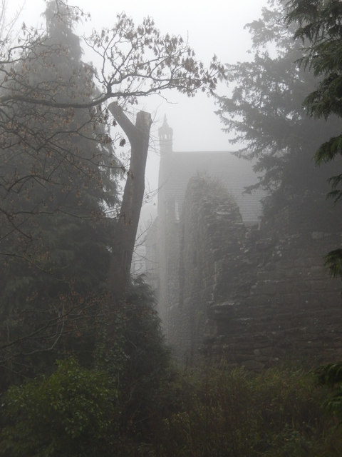
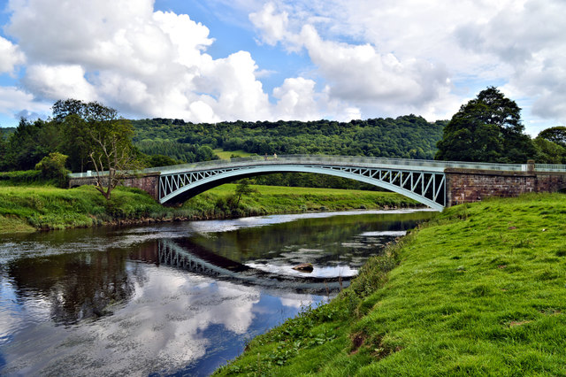
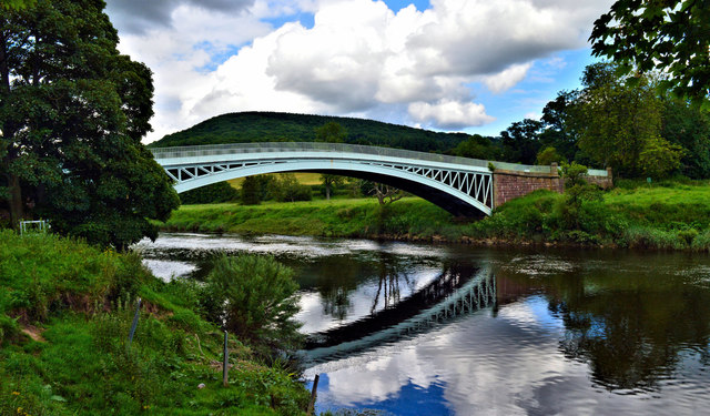
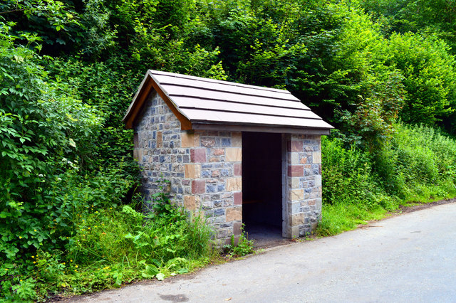
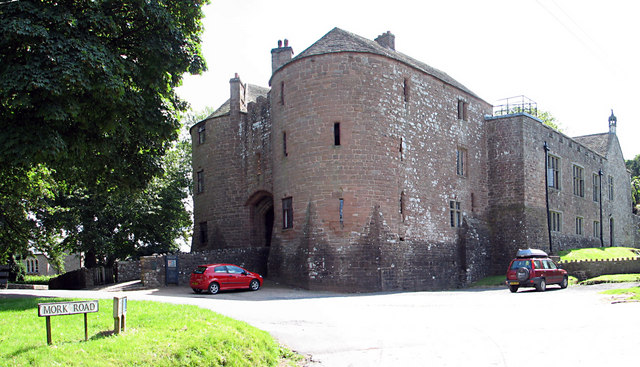
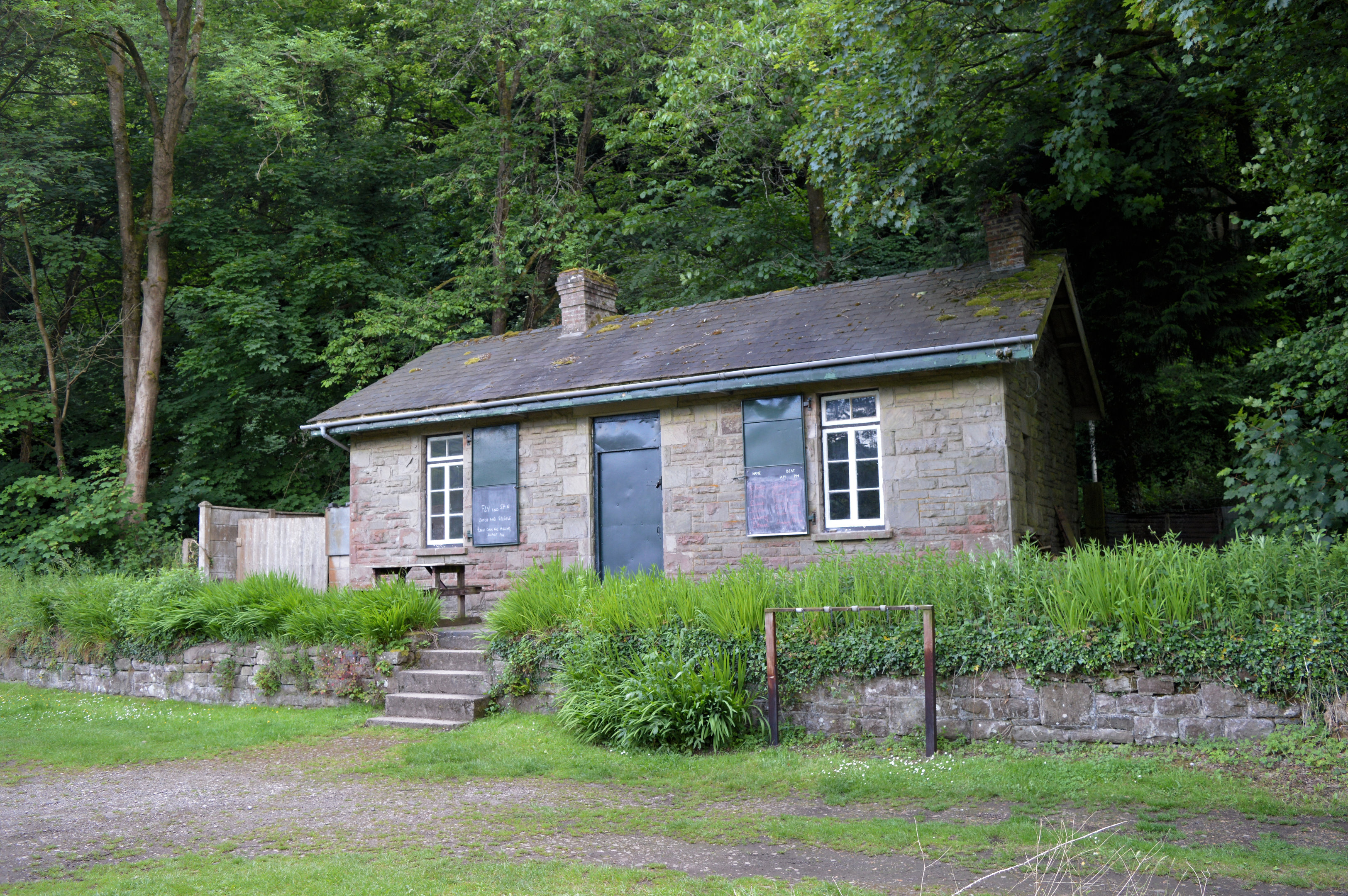
Allen's Grove Images

Images are sourced within 2km of 51.740539/-2.651061 or Grid Reference SO5504. Thanks to Geograph Open Source API. All images are credited.

B4228 at Ghyll House Farm
B4228 at St Briavels village boundary
B4228 Barrowell Lane in St Briavels
B4228 north-east of St Briavels
St. Margaret's Cottage, St. Briavels Opposite a wood called St. Margaret's Grove is the appropriately named St. Margaret's cottage, a secluded holiday home in an area called "The Fence" just outside the village of St. Briavels. Offa's Dyke Path and the River Wye are within walking distance.
St. Margaret's Cottage, St. Briavels
Opposite a wood called St. Margaret's Grove is the appropriately named St. Margaret's cottage, a secluded holiday home in an area called "The Fence" just outside the village of St. Briavels. Offa's Dyke Path and the River Wye are within walking distance.
Bigsweir Bridge View over oilseed rape on the west side of the Wye.
Bigsweir Bridge
View over oilseed rape on the west side of the Wye.
No,no,no More everyday activities prohibited. Yet another of those horrid signs which litter the English countryside.

A reminder to us in Scotland that freedom requires eternal vigilance.
No,no,no
More everyday activities prohibited. Yet another of those horrid signs which litter the English countryside. A reminder to us in Scotland that freedom requires eternal vigilance.
River Wye below Bigsweir Bridge The footbridge crosses the Mork Brook.
River Wye below Bigsweir Bridge
The footbridge crosses the Mork Brook.
Bigsweir Bridge View from the Gloucestershire side. This is an early cast iron bridge (Hollis 1827). Must have been quite an enterprise bringing the parts down from Merthyr.
Bigsweir Bridge
View from the Gloucestershire side. This is an early cast iron bridge (Hollis 1827). Must have been quite an enterprise bringing the parts down from Merthyr.
Clearing, Great Park Coniger At the start of the long climb out of the Wye Valley.
Clearing, Great Park Coniger
At the start of the long climb out of the Wye Valley.
Track above Bigsweir Inclined across the steep wooded slope.
Track above Bigsweir
Inclined across the steep wooded slope.
The George Inn, St Briavels Seen here on a day when the village was shrouded in fog, the George Inn dates from the 16th century and is now a Wadworth's pub. It offers bed and breakfast.
The George Inn, St Briavels
Seen here on a day when the village was shrouded in fog, the George Inn dates from the 16th century and is now a Wadworth's pub. It offers bed and breakfast.
St Briavels Church On a very gloomy morning, with the village shrouded in damp fog, the church of St Mary the Virgin is barely visible from Church Street.
St Briavels Church
On a very gloomy morning, with the village shrouded in damp fog, the church of St Mary the Virgin is barely visible from Church Street.
St Briavels The sign points down the hill to Bigsweir, the Wye Valley and Monmouth. In the background the tower of St Mary the Virgin's church is barely visible in the damp fog and in the foreground a sign advertises a village shop. Unsurprisingly in this weather the area seemed deserted.
St Briavels
The sign points down the hill to Bigsweir, the Wye Valley and Monmouth. In the background the tower of St Mary the Virgin's church is barely visible in the damp fog and in the foreground a sign advertises a village shop. Unsurprisingly in this weather the area seemed deserted.
St Briavels Castle St Briavels Castle was once a royal hunting lodge, used by King John, but is now a youth hostel. In these foggy conditions it looks suitably atmospheric.
St Briavels Castle
St Briavels Castle was once a royal hunting lodge, used by King John, but is now a youth hostel. In these foggy conditions it looks suitably atmospheric.
Bigsweir Bridge
Bigsweir Bridge
Bigsweir Bridge A supremely elegant cast-iron structure of 1825-7 by Charles Hollis of London. Seen from the Welsh side of the river.
Bigsweir Bridge
A supremely elegant cast-iron structure of 1825-7 by Charles Hollis of London. Seen from the Welsh side of the river.
New bus shelter, Bigsweir I travelled to work in Bristol for a year and watched this little structure being built. It is now complete and looking good, although I have yet to see anyone use it.
New bus shelter, Bigsweir
I travelled to work in Bristol for a year and watched this little structure being built. It is now complete and looking good, although I have yet to see anyone use it.
Show me another place!

Allen's Grove is located at Grid Ref: SO5504 (Lat: 51.740539, Lng: -2.651061)

Administrative County: Gloucestershire

District: Forest of Dean

Police Authority: Gloucestershire

What 3 Words

///obstruction.loaning.lately. Near Bream, Gloucestershire

Related Wikis

Nearby Amenities

Located within 500m of 51.740539,-2.651061
Bus Stop
Cinderhill Farm
Naptan AtcoCode: 1600GLF617
Naptan Bearing: S
Naptan BusStopType: CUS
Naptan CommonName: Cinderhill Farm
Naptan NaptanCode: gloadjaw
Naptan Street: Mork Rd
Naptan Verified: no
Source: naptan_import
Lat/Long: 51.7403681/-2.646229
Bus Stop
Cinderhill Farm
Naptan AtcoCode: 1600GLF618
Naptan Bearing: N
Naptan BusStopType: CUS
Naptan CommonName: Cinderhill Farm
Naptan Indicator: Opp
Naptan NaptanCode: gloadjat
Naptan Street: Mork Rd
Naptan Verified: no
Source: naptan_import
Lat/Long: 51.7405377/-2.6464631
The data included in this document is from www.openstreetmap.org. The data is made available under ODbL.

Have you been to Allen's Grove?

Leave your review of Allen's Grove below (or comments, questions and feedback).