Meend, Lower
Settlement in Gloucestershire Forest of Dean
England
Meend, Lower
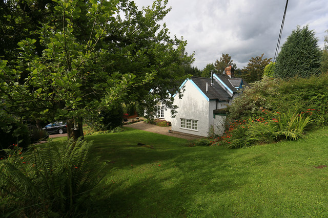
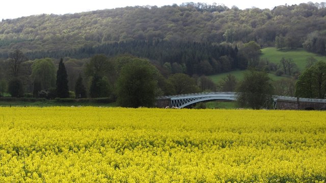
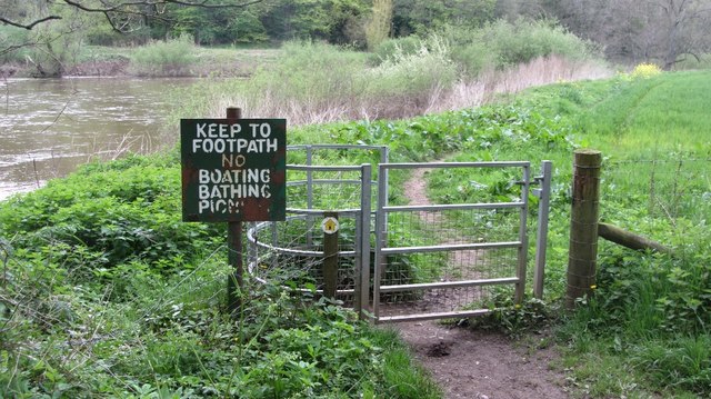
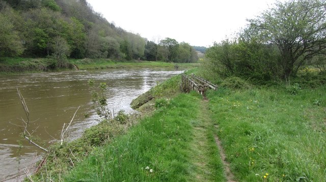
Meend is a small village located in the Lower district of Gloucestershire, England. Situated on the eastern bank of the River Severn, Meend is surrounded by picturesque countryside and offers a tranquil setting for its residents. The village is part of the Forest of Dean district and is known for its natural beauty and rich history.
With a population of around 500 residents, Meend retains its rural charm and tight-knit community feel. The village is primarily residential, consisting of well-maintained cottages and houses. Its location near the river provides ample opportunities for outdoor activities such as fishing, boating, and hiking.
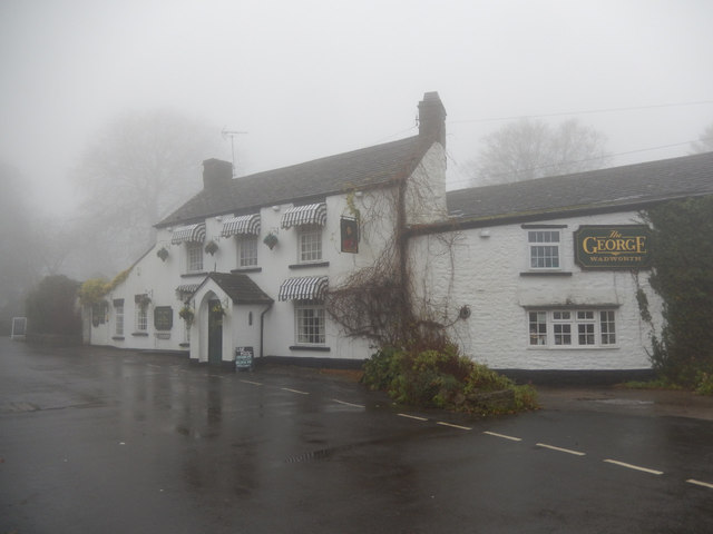
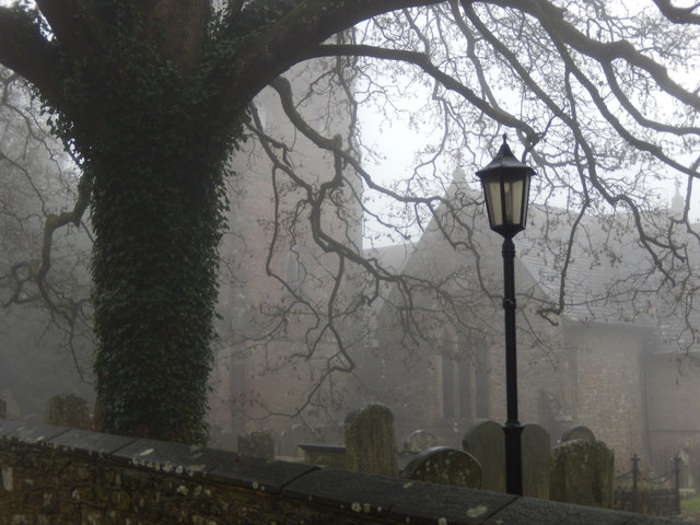
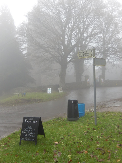
Meend is home to a few amenities, including a local pub, a village hall, and a church. The pub serves as a gathering place for locals and visitors alike, providing a warm and friendly atmosphere. The village hall hosts various events and social activities throughout the year, fostering a sense of community spirit.
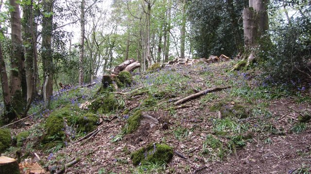
The surrounding area of Meend offers numerous attractions for nature enthusiasts. The Forest of Dean, located nearby, is a popular destination for hiking and exploring the ancient woodlands. The area is also known for its wildlife, with sightings of deer, wild boar, and various bird species being common.
Overall, Meend, Lower, Gloucestershire is a charming village that offers a peaceful and idyllic lifestyle. Its natural surroundings, community spirit, and proximity to the River Severn make it an attractive place to live for those seeking a rural retreat.
If you have any feedback on the listing, please let us know in the comments section below.
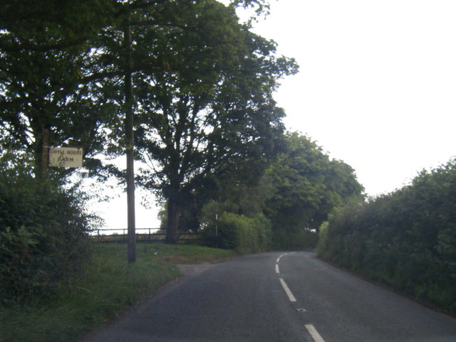
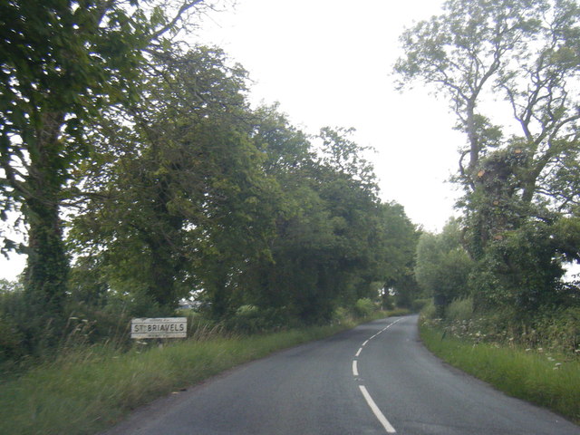
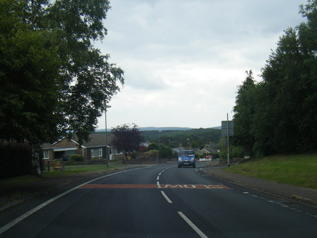
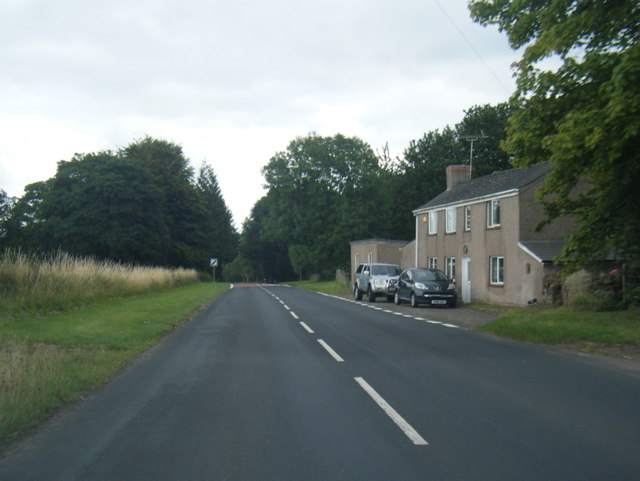
Meend, Lower Images
Images are sourced within 2km of 51.734383/-2.647656 or Grid Reference SO5504. Thanks to Geograph Open Source API. All images are credited.


Meend, Lower is located at Grid Ref: SO5504 (Lat: 51.734383, Lng: -2.647656)
Administrative County: Gloucestershire
District: Forest of Dean
Police Authority: Gloucestershire
What 3 Words
///clipboard.starter.allowable. Near Tintern, Monmouthshire
Nearby Locations
Related Wikis
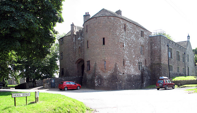
St Briavels Castle
St Briavels Castle is a moated Norman castle at St Briavels in the English county of Gloucestershire. The castle is noted for its huge Edwardian gatehouse...

St Briavels
St Briavels (pronounced Brevels, once known as 'Ledenia Parva' (Little Lydney)), is a medium-sized village and civil parish in the Royal Forest of Dean...
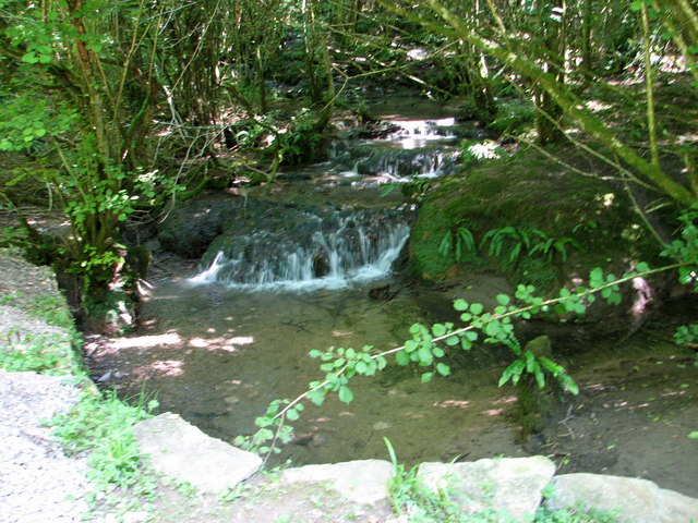
Slade Brook
Slade Brook (grid reference SO564055) is a 3.63-hectare (9.0-acre) biological and geological Site of Special Scientific Interest in Gloucestershire, notified...

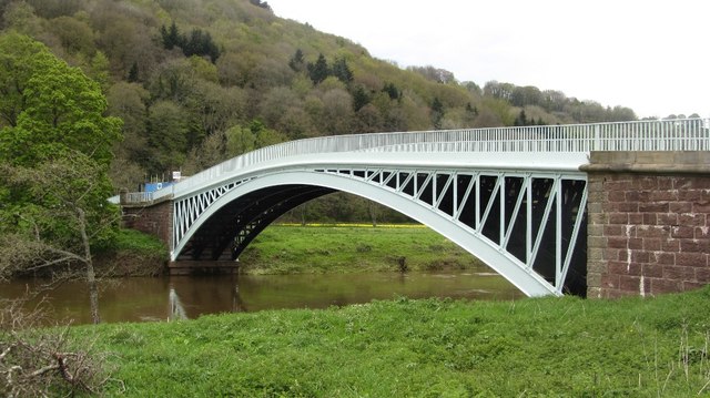
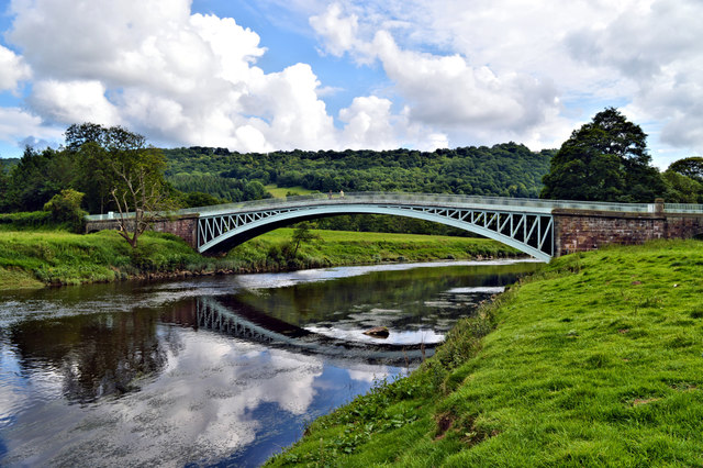
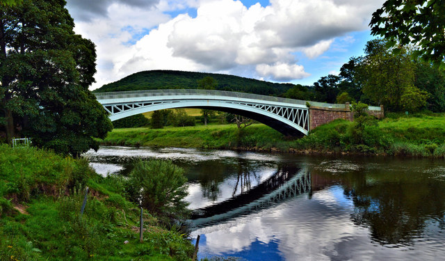
Bigsweir Bridge
Bigsweir Bridge is an 1827 road bridge crossing the River Wye, straddling the boundary between the parish of St. Briavels, Gloucestershire, England, and...
Nearby Amenities
Located within 500m of 51.734383,-2.647656Have you been to Meend, Lower?
Leave your review of Meend, Lower below (or comments, questions and feedback).