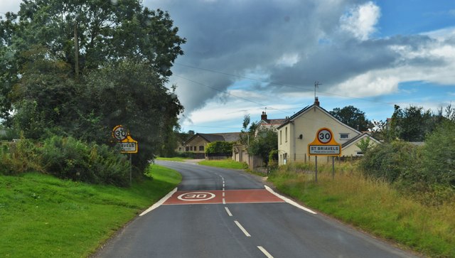
St Briavels
Settlement in Gloucestershire Forest of Dean
England
St Briavels
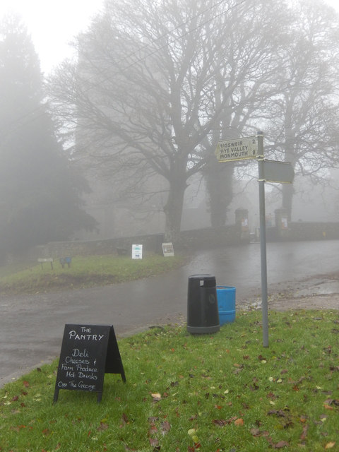
St Briavels is a picturesque village located in the Forest of Dean district of Gloucestershire, England. Situated on the eastern edge of the forest, it is nestled atop a prominent hill overlooking the stunning Wye Valley. The village is known for its historic charm and is home to around 500 residents.
At the heart of St Briavels lies the impressive St Briavels Castle, a medieval fortress dating back to the 12th century. The castle, which is now a youth hostel, offers visitors a unique opportunity to stay within its ancient walls and experience a taste of medieval life. The castle also hosts various events and activities throughout the year, including historical reenactments and guided tours.
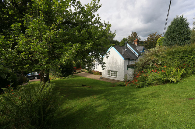
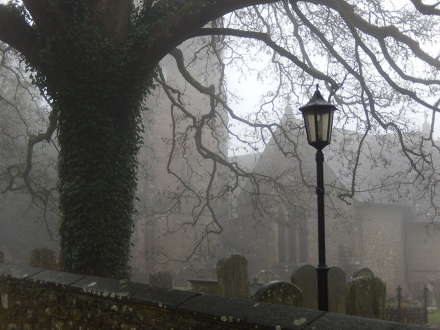
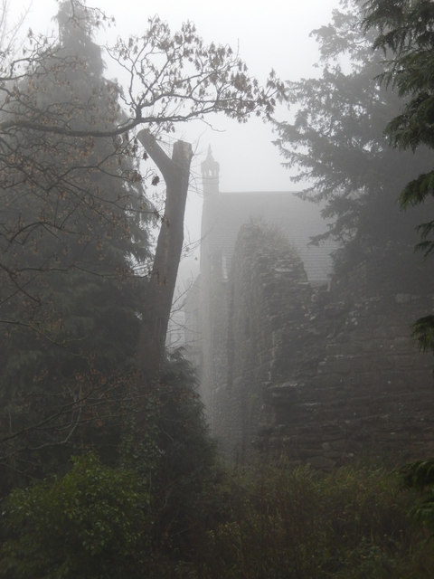
Aside from the castle, St Briavels boasts a range of other architectural gems, including the St Mary's Church, a beautiful 13th-century structure that showcases stunning stained glass windows and intricate stonework. The village also features a number of charming cottages and traditional buildings, adding to its overall appeal.
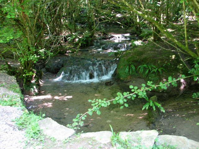
The village is surrounded by breathtaking natural beauty, with the Forest of Dean offering ample opportunities for outdoor activities. Visitors can explore the numerous walking trails and cycling routes, or enjoy wildlife spotting and birdwatching in the forest's diverse habitats. The nearby Wye Valley, designated as an Area of Outstanding Natural Beauty, provides stunning panoramic views and is popular for canoeing and kayaking along the River Wye.
St Briavels is a quaint and idyllic village that offers a perfect blend of history, natural beauty, and outdoor pursuits, making it a popular destination for tourists and locals alike.
If you have any feedback on the listing, please let us know in the comments section below.
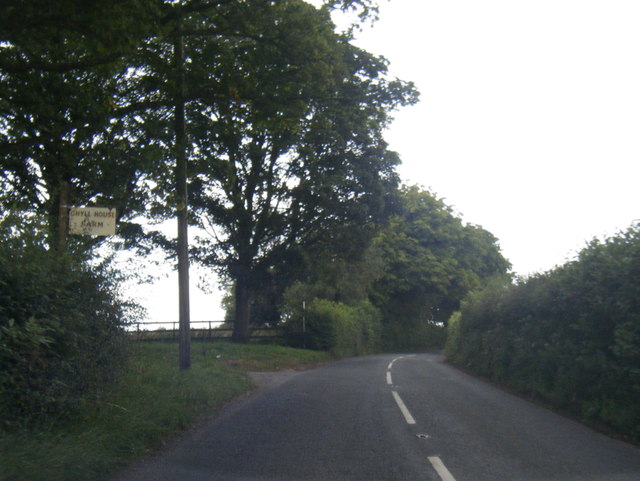
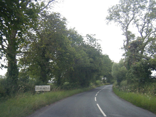
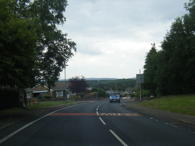
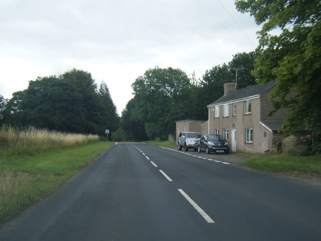
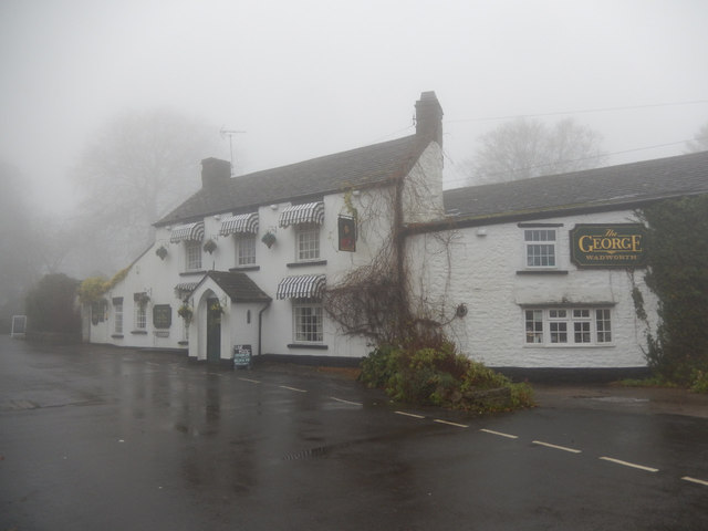
St Briavels Images
Images are sourced within 2km of 51.737708/-2.6393624 or Grid Reference SO5504. Thanks to Geograph Open Source API. All images are credited.


St Briavels is located at Grid Ref: SO5504 (Lat: 51.737708, Lng: -2.6393624)
Administrative County: Gloucestershire
District: Forest of Dean
Police Authority: Gloucestershire
What 3 Words
///skinning.flattery.walls. Near Bream, Gloucestershire
Nearby Locations
Related Wikis
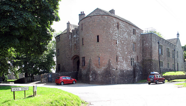
St Briavels Castle
St Briavels Castle is a moated Norman castle at St Briavels in the English county of Gloucestershire. The castle is noted for its huge Edwardian gatehouse...

St Briavels
St Briavels (pronounced Brevels, once known as 'Ledenia Parva' (Little Lydney)), is a medium-sized village and civil parish in the Royal Forest of Dean...
Slade Brook
Slade Brook (grid reference SO564055) is a 3.63-hectare (9.0-acre) biological and geological Site of Special Scientific Interest in Gloucestershire, notified...

Stow Green, St Briavels
Stow Green Castle, also known as Castle Tump, was a castle near the village of St Briavels in Gloucestershire, England. The castle is believed to have...
Nearby Amenities
Located within 500m of 51.737708,-2.6393624Have you been to St Briavels?
Leave your review of St Briavels below (or comments, questions and feedback).