Hatchmere Wood
Wood, Forest in Cheshire
England
Hatchmere Wood

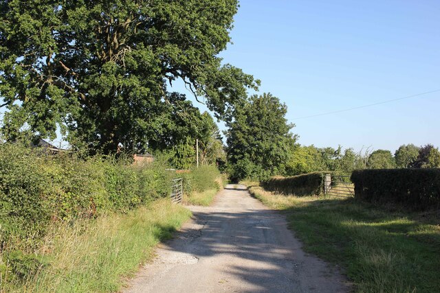
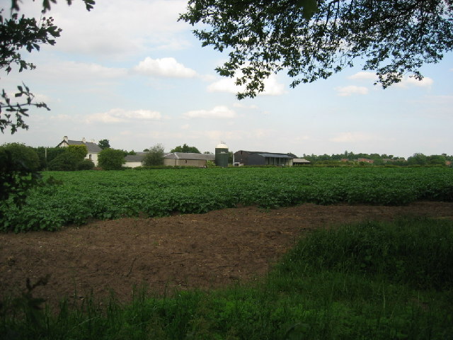
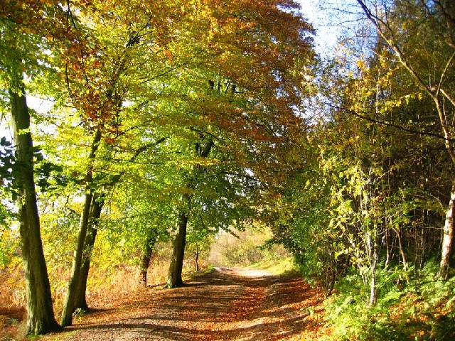
Hatchmere Wood, located in the county of Cheshire, England, is a picturesque woodland area renowned for its natural beauty and diverse ecosystem. Spanning over 200 hectares, this ancient woodland is a popular destination for nature enthusiasts, hikers, and wildlife lovers alike.
The wood is predominantly composed of native broadleaf trees, including oak, birch, beech, and hazel, which create a dense and lush canopy throughout the area. The rich undergrowth is home to a wide variety of plant species, such as bluebells, wood sorrel, and wild garlic, offering a vibrant display of colors throughout the seasons.
Hatchmere Wood is not only visually appealing, but it also provides a vital habitat for numerous wildlife species. The wood is known to be a haven for birds, including woodpeckers, nuthatches, and tawny owls, which can often be heard or spotted amongst the trees. Mammals such as bats, foxes, and badgers also call this woodland home, while the nearby Hatchmere Lake attracts a plethora of waterfowl.
Visitors to Hatchmere Wood can explore the area through a network of well-maintained footpaths and trails, allowing for leisurely walks or more challenging hikes. The wood is a popular spot for family outings, dog walking, and picnics, providing a peaceful and tranquil environment away from the hustle and bustle of nearby towns.
In summary, Hatchmere Wood in Cheshire is a captivating and diverse woodland that offers a serene escape into nature. With its lush vegetation, abundant wildlife, and well-marked trails, this ancient woodland is a must-visit destination for those seeking a rejuvenating outdoor experience.
If you have any feedback on the listing, please let us know in the comments section below.
Hatchmere Wood Images
Images are sourced within 2km of 53.24646/-2.6736689 or Grid Reference SJ5572. Thanks to Geograph Open Source API. All images are credited.


Hatchmere Wood is located at Grid Ref: SJ5572 (Lat: 53.24646, Lng: -2.6736689)
Unitary Authority: Cheshire West and Chester
Police Authority: Cheshire
What 3 Words
///handyman.normal.tingled. Near Kingsley, Cheshire
Nearby Locations
Related Wikis

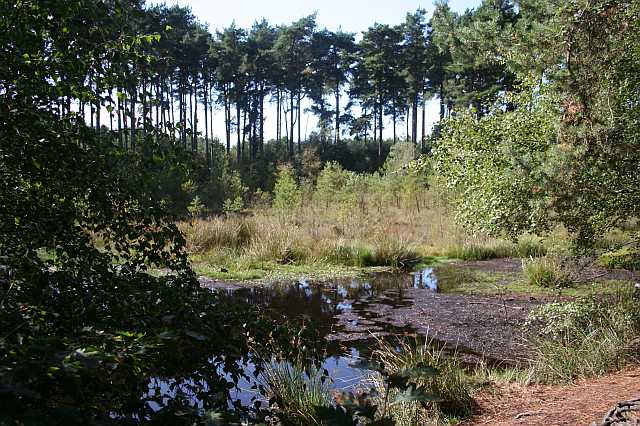
Hatchmere
Hatchmere is a small mere and nature reserve in Delamere Forest, southeast of Frodsham, Cheshire, England. It is also the name of a hamlet near the village...
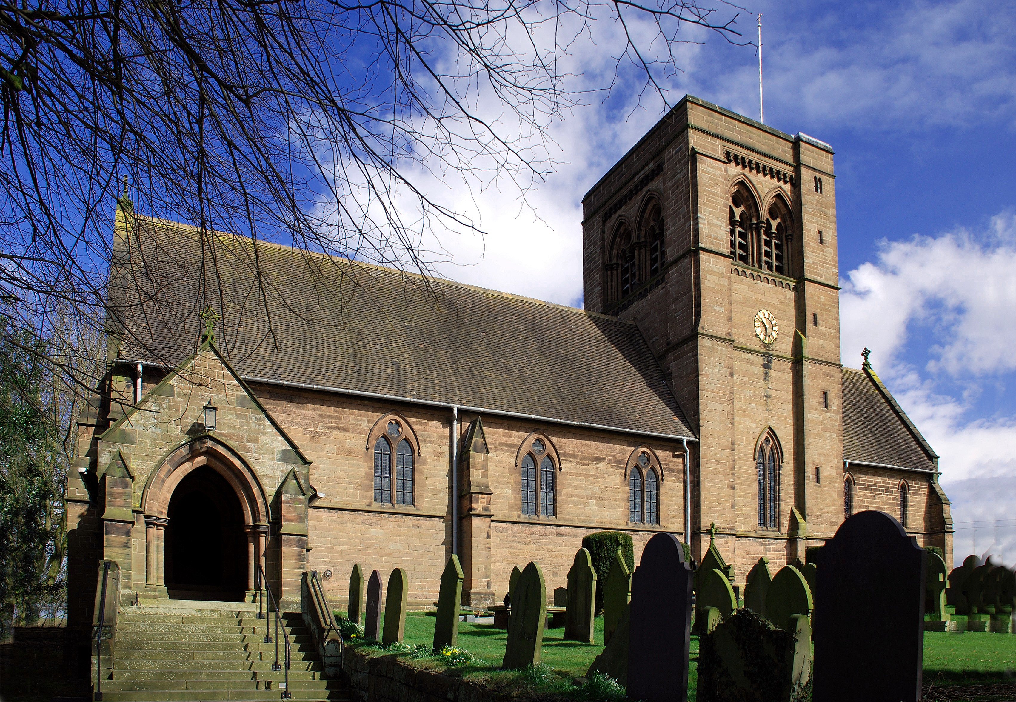
St John the Evangelist's Church, Norley
St John the Evangelist's Church stands to the west of the village of Norley, Cheshire, England. The church is recorded in the National Heritage List for...
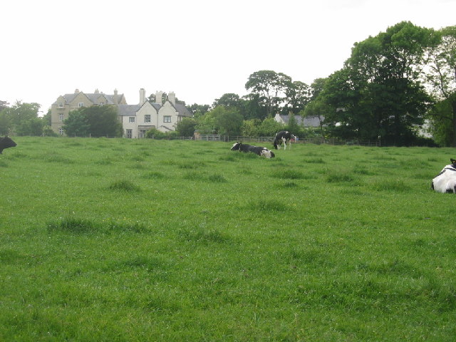
Norley Hall
Norley Hall is a country house in the village of Norley, Cheshire, England. It was built in about 1500 on the site of an earlier house for the Hall family...
Norley
Norley is a village and civil parish in Cheshire, England, north of Delamere Forest, near the village of Cuddington. The population at the 2011 census...
Delamere Forest
Delamere Forest is a large wood in the village of Delamere in Cheshire, England. The woodland, which is managed by Forestry England, covers an area of...
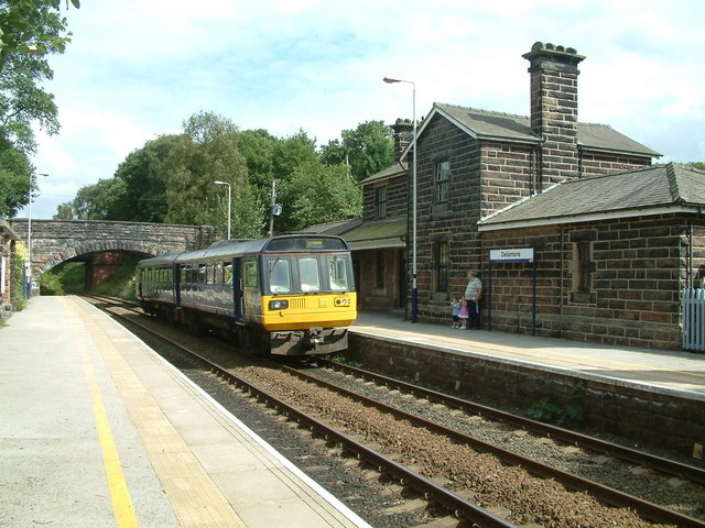
Delamere railway station
Delamere railway station opened on 22 June 1870. It serves both the village of Delamere and Delamere Forest in Cheshire, England. The station is 9½ miles...
Black Lake Nature Reserve
Black Lake is a nature reserve in Delamere Forest, Cheshire, England. It lies in the southwestern corner of the forest, just south of the Manchester–Chester...

Kingsley Castle
Kingsley Castle, also known as Castle Cob, a medieval motte near Kingsley, Cheshire, England. (grid reference SJ53387341) It is listed as a Scheduled Ancient...
Nearby Amenities
Located within 500m of 53.24646,-2.6736689Have you been to Hatchmere Wood?
Leave your review of Hatchmere Wood below (or comments, questions and feedback).