Bank Wood
Wood, Forest in Cumberland Eden
England
Bank Wood
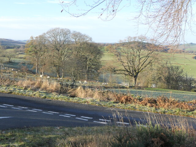
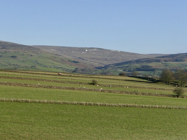
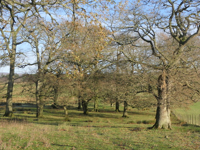
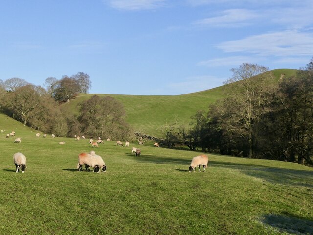
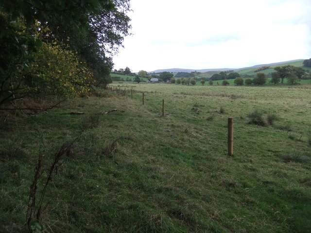
Bank Wood is a picturesque forest located in the rural county of Cumberland, England. Covering an area of approximately 100 acres, it is nestled within the stunning landscape of the Lake District National Park. This woodland is characterized by its dense canopy of mature trees, creating a serene and tranquil environment for visitors to explore.
The forest is predominantly composed of native British tree species, including oak, beech, and birch, which provide a rich habitat for a variety of wildlife. The diverse flora and fauna found within Bank Wood make it a haven for nature enthusiasts and birdwatchers alike. Rare species such as red squirrels, deer, and a wide range of bird species can often be spotted within the forest's boundaries.
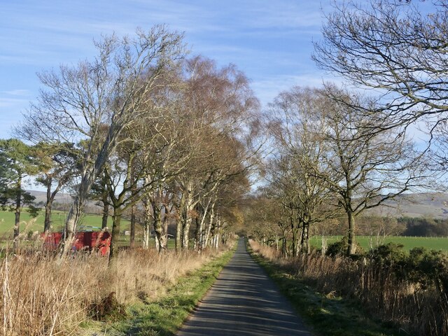
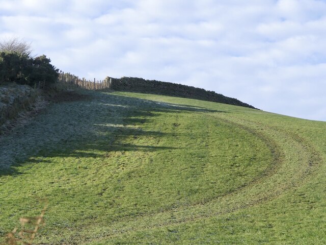
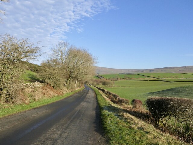
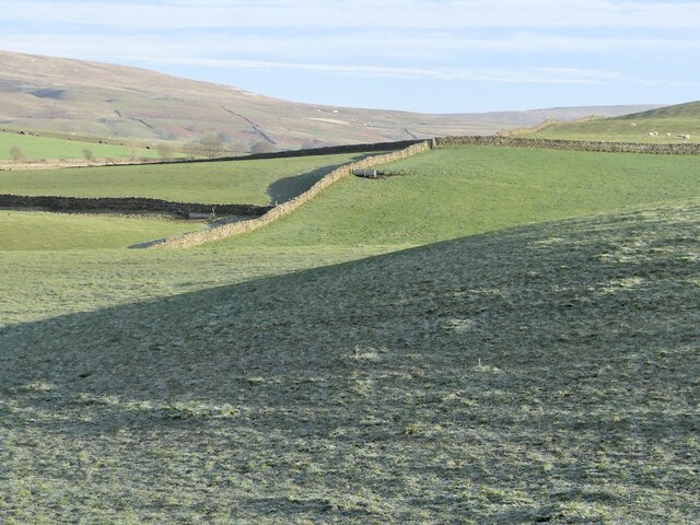
The wood is crisscrossed by a network of well-maintained trails, offering visitors the opportunity to immerse themselves in the natural beauty of the area. These paths wind through the forest, allowing for leisurely walks and providing access to scenic viewpoints. The forest also features picnic areas where visitors can relax and enjoy the peaceful surroundings.
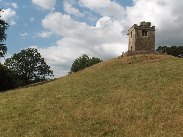
Bank Wood has a rich cultural heritage, with evidence of human activity dating back centuries. Archaeological remains, including ancient earthworks and burial mounds, can be found within the woodland, adding to its historical significance.
In recent years, efforts have been made to preserve and protect Bank Wood, ensuring its continued existence as a cherished natural resource. The forest is managed by local conservation organizations in collaboration with the Lake District National Park Authority, who work diligently to maintain the delicate balance between nature conservation and public access.
Overall, Bank Wood offers a delightful and immersive experience for nature lovers, history enthusiasts, and anyone seeking solace in the beauty of the British countryside.
If you have any feedback on the listing, please let us know in the comments section below.
Bank Wood Images
Images are sourced within 2km of 54.796443/-2.6991856 or Grid Reference NY5544. Thanks to Geograph Open Source API. All images are credited.


Bank Wood is located at Grid Ref: NY5544 (Lat: 54.796443, Lng: -2.6991856)
Administrative County: Cumbria
District: Eden
Police Authority: Cumbria
What 3 Words
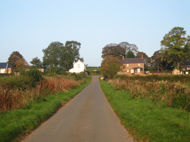
///though.cheeses.fuels. Near Wetheral, Cumbria
Nearby Locations
Related Wikis

Dale, Cumbria
Dale is a hamlet in Cumbria, England. == References ==
Ruckcroft
Ruckcroft is a hamlet in the English county of Cumbria. It neighbours the larger settlements of Armathwaite and Ainstable. In the past Ruckcroft had a...

Staffield
Staffield is a hamlet and former civil parish 12 miles (19 km) from Carlisle, now in the parish of Kirkoswald, in the Eden district, in the county of Cumbria...
Ainstable
Ainstable is a village and civil parish in the English county of Cumbria. The parish stretches from the banks of the River Eden to the summits of the North...

Armathwaite Nunnery
Armathwaite Nunnery was a Benedictine nunnery in Cumbria, England. It was situated near the confluence of the rivers Croglin Water and Eden in the southern...

Croglin
Croglin is the name of a village, former civil parish, beck (stream), and grange now in the parish of Ainstable, in the Westmorland and Furness district...
Kirkoswald, Cumbria
Kirkoswald is a village, civil parish, and former market town located in Westmorland and Furness, England, about 9 miles (14 km) from Penrith. The village...

Kirkoswald Castle
Kirkoswald Castle is located to the southeast of the village of Kirkoswald, Cumbria, England. It is built from Penrith red sandstone and is still partially...
Nearby Amenities
Located within 500m of 54.796443,-2.6991856Have you been to Bank Wood?
Leave your review of Bank Wood below (or comments, questions and feedback).