Ash Hill Coppice

Wood, Forest in Dorset

England

Ash Hill Coppice

St. Michael and All Angels, Askerswell, Dorset The church body was built in 1858 and replaced the dilapidated early 15th-century building of c1403. The tower is original.
St. Michael and All Angels, Askerswell, Dorset Credit: Ray Jennings

The requested URL returned error: 429 Too Many Requests

If you have any feedback on the listing, please let us know in the comments section below.

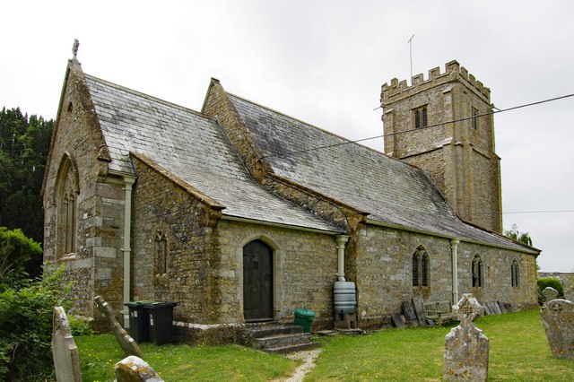
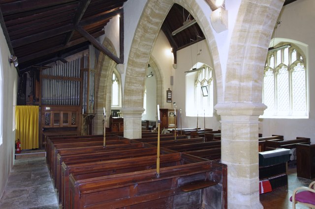
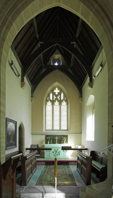
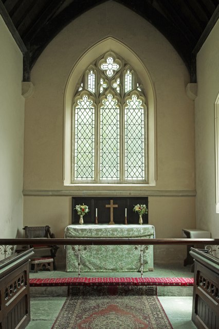
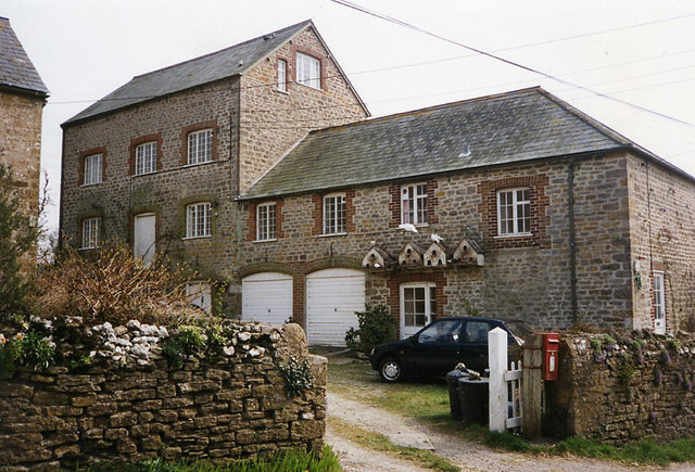
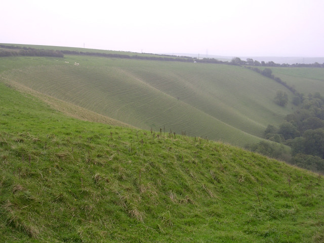
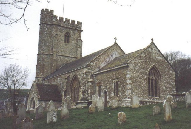
Ash Hill Coppice Images

Images are sourced within 2km of 50.729011/-2.6446977 or Grid Reference SY5492. Thanks to Geograph Open Source API. All images are credited.

St. Michael and All Angels, Askerswell, Dorset The church body was built in 1858 and replaced the dilapidated early 15th-century building of c1403. The tower is original.
St. Michael and All Angels, Askerswell, Dorset
The church body was built in 1858 and replaced the dilapidated early 15th-century building of c1403. The tower is original.
St. Michael and All Angels, Askerswell, Dorset
St. Michael and All Angels, Askerswell, Dorset A North wall window
St. Michael and All Angels, Askerswell, Dorset
A North wall window
Old Milestone by the A35, Askerswell Carved stone post by the A35, in parish of ASKERSWELL (WEST DORSET District), opposite road to Askerswell, just prior to lay-by, on South side of road. Dorset 1 (limestone), erected by the Harnham, Blandford & Dorchester Turnpike Trust in the 19th century. 

Inscription reads:-
5
Bridport
Dorchester
10
Carved benchmark on bottom right of front face. 

Milestone Society National ID: DO_BPDO05.
Old Milestone by the A35, Askerswell
Carved stone post by the A35, in parish of ASKERSWELL (WEST DORSET District), opposite road to Askerswell, just prior to lay-by, on South side of road. Dorset 1 (limestone), erected by the Harnham, Blandford & Dorchester Turnpike Trust in the 19th century. Inscription reads:- 5 Bridport Dorchester 10 Carved benchmark on bottom right of front face. Milestone Society National ID: DO_BPDO05.
Lane to Playfield  A view along the lane (Puddle Hole) towards Redway
Lane to Playfield
A view along the lane (Puddle Hole) towards Redway
St Michael and All Angels, Askerswell, Dorset The church body was built in 1858 and replaced the dilapidated early 15th-century building of c1403. The tower is original.
St Michael and All Angels, Askerswell, Dorset
The church body was built in 1858 and replaced the dilapidated early 15th-century building of c1403. The tower is original.
St Michael and All Angels, Askerswell, Dorset A view across the church from the North aisle.
St Michael and All Angels, Askerswell, Dorset
A view across the church from the North aisle.
St Michael and All Angels, Askerswell, Dorset The Chancel.
St Michael and All Angels, Askerswell, Dorset
The Chancel.
St Michael and All Angels, Askerswell, Dorset The Sanctuary.
St Michael and All Angels, Askerswell, Dorset
The Sanctuary.
St Michael and All Angels, Askerswell, Dorset The Nave, looking Westward.
St Michael and All Angels, Askerswell, Dorset
The Nave, looking Westward.
St Michael and All Angels, Askerswell, Dorset A late-Norman font c1154 with some fine carving.
St Michael and All Angels, Askerswell, Dorset
A late-Norman font c1154 with some fine carving.
Looking east along the Roman Road at Two Gates The thick fog in this photo was coming in from the sea (to the right) and making driving on this narrow (but straight) road quite difficult. It had been sunny only a few hours earlier, which shows how quickly the weather can change on this high ground (238m above sea level). The Roman road eventually leads to Dorchester.
Looking east along the Roman Road at Two Gates
The thick fog in this photo was coming in from the sea (to the right) and making driving on this narrow (but straight) road quite difficult. It had been sunny only a few hours earlier, which shows how quickly the weather can change on this high ground (238m above sea level). The Roman road eventually leads to Dorchester.
Milestone on A35 between Bridport & Dorchester Near Askerswell
Milestone on A35 between Bridport & Dorchester
Near Askerswell
Litton Cheney: mill Now a house conversion, in 1996 the watermill retained an impressive external overshot waterwheel in working order – on the far side of the main building
Litton Cheney: mill
Now a house conversion, in 1996 the watermill retained an impressive external overshot waterwheel in working order – on the far side of the main building
Glaciated chalk landscape, Eggardon Hill Looking south from the south-east entrance to Eggardon iron-age hillfort, this glaciated chalk escarpment is beautifully contoured and reminiscent of <a href="https://www.geograph.org.uk/photo/25255">SU2986 : The Manger, north of Uffington Castle</a>. A few sheep can be seen perched on the edge of the steep slope, to the left of the photo.
Glaciated chalk landscape, Eggardon Hill
Looking south from the south-east entrance to Eggardon iron-age hillfort, this glaciated chalk escarpment is beautifully contoured and reminiscent of SU2986 : The Manger, north of Uffington Castle. A few sheep can be seen perched on the edge of the steep slope, to the left of the photo.
Show me another place!

Ash Hill Coppice is located at Grid Ref: SY5492 (Lat: 50.729011, Lng: -2.6446977)

Unitary Authority: Dorset

Police Authority: Dorset

What 3 Words

///ranch.hazel.engraving. Near Maiden Newton, Dorset

Related Wikis

Askerswell

Askerswell () is a small village and civil parish in the county of Dorset in southwest England. It is sited on the small River Asker. It lies 11 miles...

Litton Cheney

Litton Cheney is a village and civil parish in the county of Dorset in south-west England. It lies 9 miles (14 km) west of the county town Dorchester....

Chilcombe

Chilcombe is a hamlet and civil parish in Dorset, England, situated in the Dorset unitary authority administrative area about 4 miles (6.4 km) east of...

Eggardon Hill

Eggardon Hill is a prehistoric hillfort on a hill in Dorset, England. It is located on chalk uplands approximately four miles to the east of the town of...

Nearby Amenities

Located within 500m of 50.729011,-2.6446977
Design: barrel
Power: tower
Lat/Long: 50.7314013/-2.6405796
Design: barrel
Power: tower
Source: bing
Lat/Long: 50.7320365/-2.6429531
Material: wood
Power: pole
Source: bing
Lat/Long: 50.7303177/-2.6384657
Material: wood
Power: pole
Source: bing
Lat/Long: 50.7306363/-2.6405917
Material: wood
Power: pole
Source: bing
Lat/Long: 50.7309026/-2.6424031
Material: wood
Power: pole
Source: bing
Lat/Long: 50.7311017/-2.64374
Material: wood
Power: pole
Source: bing
Lat/Long: 50.7313146/-2.6498719
Material: wood
Power: pole
Source: bing
Lat/Long: 50.7320368/-2.6450791
Material: wood
Power: pole
Source: bing
Lat/Long: 50.7324242/-2.6467165
Material: wood
Power: pole
Source: bing
Lat/Long: 50.7328265/-2.6483846
Askerswell Down
Place: locality
Lat/Long: 50.7268939/-2.6503191
The data included in this document is from www.openstreetmap.org. The data is made available under ODbL.

Have you been to Ash Hill Coppice?

Leave your review of Ash Hill Coppice below (or comments, questions and feedback).