Bond's Wood
Wood, Forest in Gloucestershire Forest of Dean
England
Bond's Wood
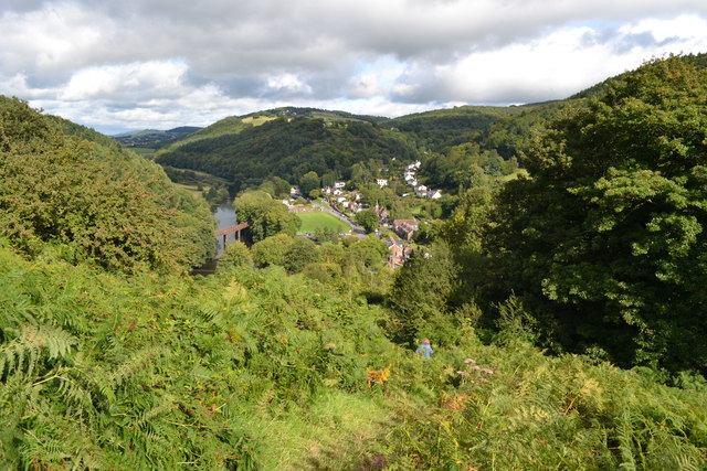
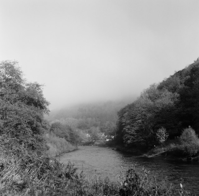
Bond's Wood is a remarkable forest located in Gloucestershire, England. Covering an expansive area of approximately 200 acres, it is nestled in the heart of the picturesque countryside. The wood is characterized by its dense, ancient woodland, showcasing a diverse range of flora and fauna.
The forest is primarily composed of broadleaf trees, primarily oak, beech, and ash, which create a captivating canopy that offers shelter and shade to the woodland floor. The ground beneath is carpeted with a myriad of wildflowers, ferns, and mosses, adding a vibrant touch to the woodland's enchanting ambiance.
Bond's Wood boasts a rich historical background, dating back several centuries. It was originally part of the Royal Forest of Dean and had significant importance in the timber industry during the medieval era. Today, the wood is managed by the Forestry Commission, ensuring the preservation of its natural beauty and ecological significance.
The wood is a haven for wildlife enthusiasts, with an abundance of native species inhabiting the area. Visitors may spot roe deer, foxes, squirrels, and a variety of bird species, including woodpeckers, owls, and warblers. Additionally, the forest is home to several rare and protected species, such as the dormouse and the lesser horseshoe bat.
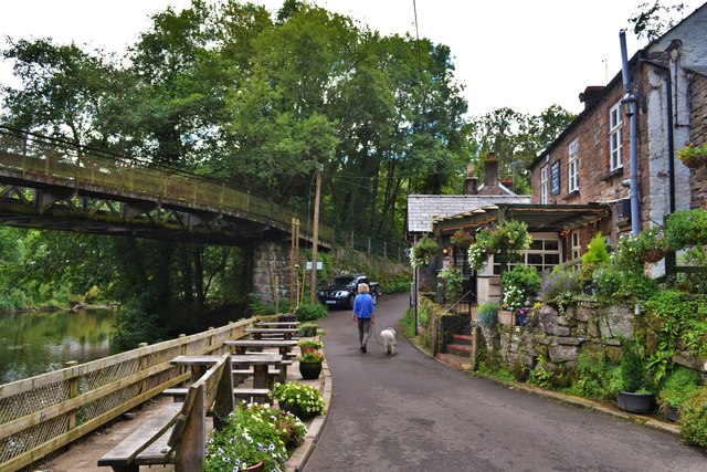
Bond's Wood provides numerous recreational opportunities for visitors to enjoy. There are well-maintained walking trails that wind through the forest, allowing visitors to immerse themselves in its tranquility and beauty. The wood is also a popular spot for picnics, photography, and nature watching.
Overall, Bond's Wood is a captivating woodland that offers a glimpse into nature's splendor. Its ancient trees, diverse wildlife, and tranquil atmosphere make it an idyllic destination for both nature enthusiasts and those seeking a peaceful retreat.
If you have any feedback on the listing, please let us know in the comments section below.
Bond's Wood Images
Images are sourced within 2km of 51.797719/-2.6598746 or Grid Reference SO5411. Thanks to Geograph Open Source API. All images are credited.


Bond's Wood is located at Grid Ref: SO5411 (Lat: 51.797719, Lng: -2.6598746)
Administrative County: Gloucestershire
District: Forest of Dean
Police Authority: Gloucestershire
What 3 Words
///decorator.decently.homelands. Near Coleford, Gloucestershire
Nearby Locations
Related Wikis

Swanpool Wood and Furnace Grove
Swanpool Wood and Furnace Grove (grid reference SO541107) is a 13.59-hectare (33.6-acre) biological Site of Special Scientific Interest (a conservation...

Stowfield quarry
Stowfield quarry is a quarry in the Forest of Dean about 2 km south of Staunton, near Coleford, Gloucestershire, England. == References ==
Newland railway station
Newland railway station, also known as Cherry Orchard railway station, served the village of Newland, Gloucestershire, England, from 1883 to 1917 on the...

Redbrook Incline Bridge
The Redbrook Incline Bridge is a nineteenth-century tramway bridge that crosses the B4231 road at Redbrook on the England–Wales border. The bridge straddles...
Nearby Amenities
Located within 500m of 51.797719,-2.6598746Have you been to Bond's Wood?
Leave your review of Bond's Wood below (or comments, questions and feedback).