Stone's Common Coppice

Wood, Forest in Dorset

England

Stone's Common Coppice

Ambulance Trapped in Floods at Powerstock Common This shows an ambulance trapped under the old railway bridge on the former Bridport branch line from Maiden Newton. The car on the other side had just arrived to render assistance to the two paramedics in the ambulance. A recovery vehicle had been summoned to pull the ambulance out but it had not yet arrived.
Ambulance Trapped in Floods at Powerstock Common Credit: Nigel Mykura

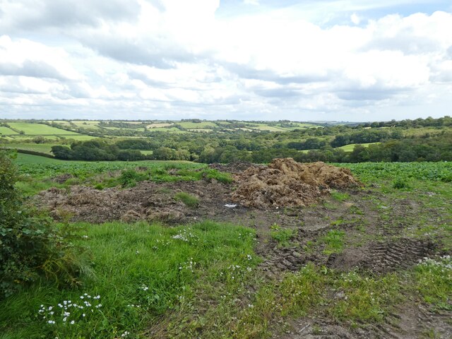
Stone's Common Coppice is a picturesque woodland located in the county of Dorset, England. Covering an area of approximately 500 acres, this ancient woodland is a popular destination for nature enthusiasts and hikers alike.

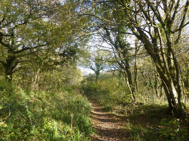
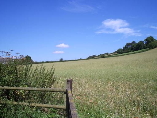
The woodland is predominantly composed of native tree species such as oak, ash, and beech, creating a diverse and vibrant ecosystem. The dense canopy of these towering trees allows only dappled sunlight to filter through, creating a tranquil and enchanting atmosphere.

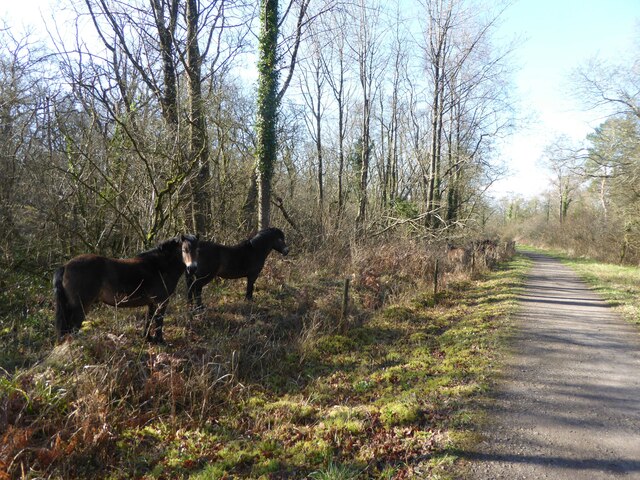
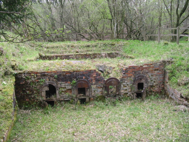
Stone's Common Coppice is teeming with wildlife, providing a habitat for a wide variety of flora and fauna. Visitors may spot elusive creatures such as deer, badgers, and foxes, as well as a plethora of bird species including woodpeckers, owls, and warblers. The woodland floor is adorned with a vibrant carpet of wildflowers, adding bursts of color to the otherwise green landscape.

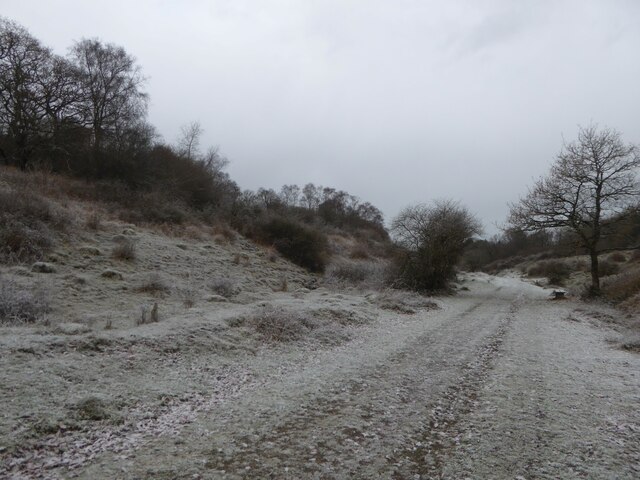
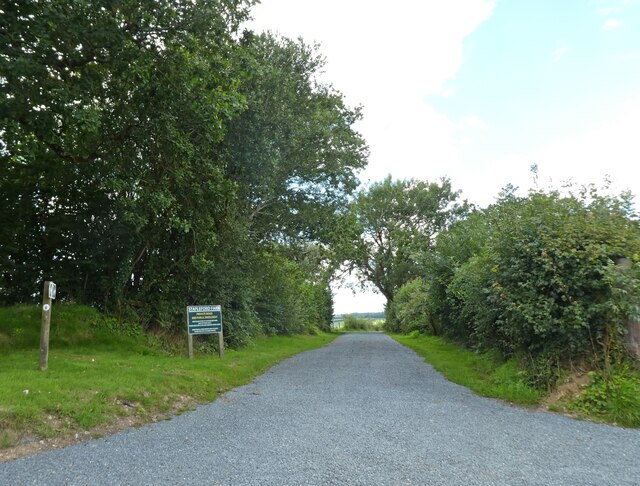
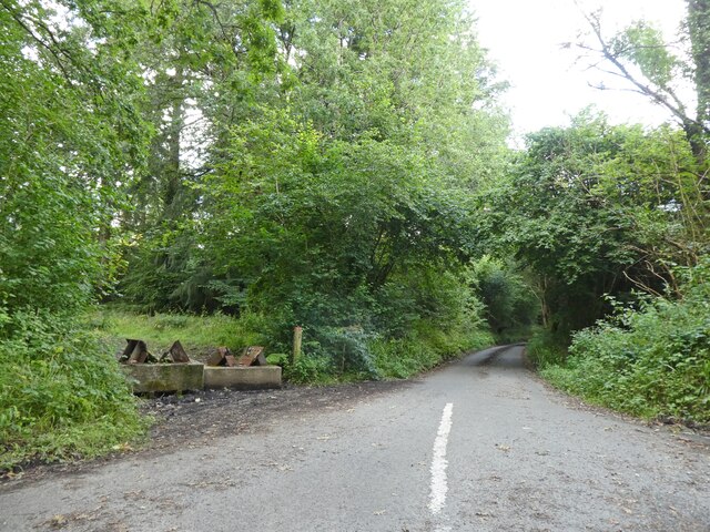
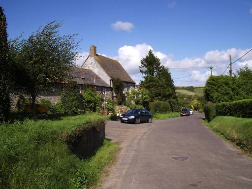
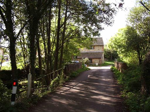
Traversing Stone's Common Coppice is made easy by a network of well-maintained footpaths and trails. These paths wind through the woodland, guiding visitors through its natural wonders and offering breathtaking views along the way. The wood is also home to a small stream, adding to the charm and serenity of the area.

The woodland is managed by the local authorities, who ensure its preservation and conservation. Visitors are encouraged to respect the natural environment and adhere to designated paths to minimize disturbance to the wildlife.

Stone's Common Coppice is a haven for those seeking solace in nature, offering a peaceful retreat from the hustle and bustle of everyday life. Whether you are a keen naturalist, a casual walker, or simply looking for a place to unwind, this enchanting woodland is sure to captivate and inspire.

If you have any feedback on the listing, please let us know in the comments section below.

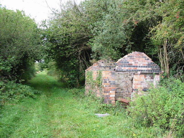
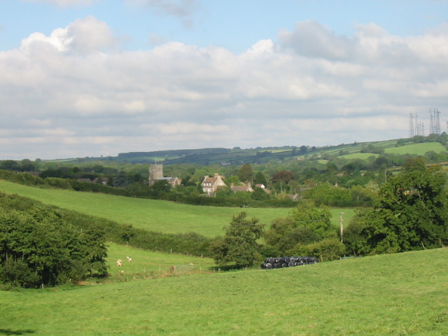
Stone's Common Coppice Images

Images are sourced within 2km of 50.779528/-2.6453639 or Grid Reference SY5497. Thanks to Geograph Open Source API. All images are credited.

Ambulance Trapped in Floods at Powerstock Common This shows an ambulance trapped under the old railway bridge on the former Bridport branch line from Maiden Newton. The car on the other side had just arrived to render assistance to the two paramedics in the ambulance. A recovery vehicle had been summoned to pull the ambulance out but it had not yet arrived.
Ambulance Trapped in Floods at Powerstock Common
This shows an ambulance trapped under the old railway bridge on the former Bridport branch line from Maiden Newton. The car on the other side had just arrived to render assistance to the two paramedics in the ambulance. A recovery vehicle had been summoned to pull the ambulance out but it had not yet arrived.
Ambulance Stuck in Floods at Powerstock Common (2) This shows the ambulance shortly after it had got stuck under the old railway bridge on the former branch line from Maiden Newton to Bridport. This bridge frequently floods but this is the worst I have seen there.
Ambulance Stuck in Floods at Powerstock Common (2)
This shows the ambulance shortly after it had got stuck under the old railway bridge on the former branch line from Maiden Newton to Bridport. This bridge frequently floods but this is the worst I have seen there.
Line of disused railway, Powerstock Common, autumn Line of the former Maiden Newton to Bridport branch line which closed in 1975.
Line of disused railway, Powerstock Common, autumn
Line of the former Maiden Newton to Bridport branch line which closed in 1975.
Line of disused railway, Powerstock Common, winter Line of the former Maiden Newton to Bridport branch line which closed in 1975.  This section of the line is now part of Kingcombe National Nature Reserve.
Line of disused railway, Powerstock Common, winter
Line of the former Maiden Newton to Bridport branch line which closed in 1975. This section of the line is now part of Kingcombe National Nature Reserve.
Line of disused railway, Powerstock Common Line of the former Maiden Newton to Bridport branch line which closed in 1975.  This section of the line is now part of Kingcombe National Nature Reserve.  Ponies grazing the reserve can be seen beside the  line.
Line of disused railway, Powerstock Common
Line of the former Maiden Newton to Bridport branch line which closed in 1975. This section of the line is now part of Kingcombe National Nature Reserve. Ponies grazing the reserve can be seen beside the line.
Rock House Restored and extended since 2012: <a href="https://www.geograph.org.uk/photo/2783106">SY5499 : House at Higher Kingcombe</a>
Rock House
Restored and extended since 2012: SY5499 : House at Higher Kingcombe
Landscape with dung
Landscape with dung
Private road to Stapleford Farm
Signpost at Mount Pleasant
Turning for Hooke
Turning for Hooke
The church of St Andrew and St Peter - Toller Porcorum For more information check here :-
<span class="nowrap"><a title="http://toller.porcorum.googlepages.com/more" rel="nofollow ugc noopener" href="http://toller.porcorum.googlepages.com/more">Link</a><img style="margin-left:2px;" alt="External link" title="External link - shift click to open in new window" src="https://s1.geograph.org.uk/img/external.png" width="10" height="10"/></span>
The church of St Andrew and St Peter - Toller Porcorum
For more information check here :- LinkExternal link
Barton Farm - Toller Porcorum
Popes Hill - Toller Porcorum
Lower Kingcombe - The Kingcombe Centre <span class="nowrap"><a title="http://www.kingcombe-centre.demon.co.uk/" rel="nofollow ugc noopener" href="http://www.kingcombe-centre.demon.co.uk/">Link</a><img style="margin-left:2px;" alt="External link" title="External link - shift click to open in new window" src="https://s1.geograph.org.uk/img/external.png" width="10" height="10"/></span>
Lower Kingcombe - The Kingcombe Centre
Old brick kiln, Powerstock Common
Locally themed parking sign in Toller Porcorum The village name "Toller Porcorum" literally translates as Valley of the Pigs. Presumably that explains why this home-made car park direction sign next to the parish church has a carved pig on top of it.
Locally themed parking sign in Toller Porcorum
The village name "Toller Porcorum" literally translates as Valley of the Pigs. Presumably that explains why this home-made car park direction sign next to the parish church has a carved pig on top of it.
Course of disused railway and building between Toller and Powerstock on Maiden Newton to Bridport branch line, which closed in 1975
Course of disused railway and building
between Toller and Powerstock on Maiden Newton to Bridport branch line, which closed in 1975
Farmland and church, Toller Porcorum
Show me another place!

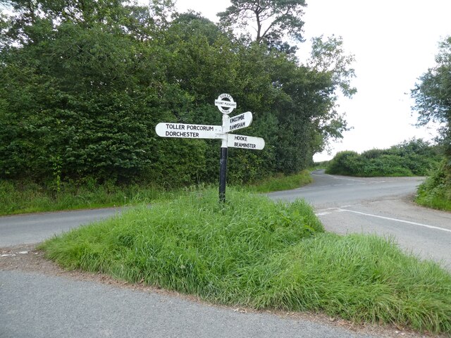
Stone's Common Coppice is located at Grid Ref: SY5497 (Lat: 50.779528, Lng: -2.6453639)

Unitary Authority: Dorset

Police Authority: Dorset

What 3 Words

///whites.scorch.gems. Near Maiden Newton, Dorset

Related Wikis

Drackenorth

Drackenorth or Drakenorth is a prominent hill, 221 metres (725 ft) high, 3 km NNE of Powerstock on the Jubilee Trail in the county of Dorset in southern...

Toller railway station

Toller was a railway station on the Bridport Railway in the west of the English county of Dorset. The station served the village of Toller Porcorum. Opened...

Toller Porcorum

Toller Porcorum () is a village and civil parish in Dorset, England, situated in the Toller valley 10 miles (16 km) northwest of Dorchester. In the 2011...

Hooke, Dorset

Hooke is a small village and civil parish in the county of Dorset in southern England, situated about 7 miles (11 km) northeast of the town of Bridport...

Nearby Amenities

Located within 500m of 50.779528,-2.6453639
Direction: 195
Generator Method: photovoltaic
Generator Output Electricity: yes
Generator Solar Modules: 10
Generator Source: solar
Generator Type: solar_photovoltaic_panel
Location: roof
Note: could be 8 modules (8x1 instead of 5 x 2)
Power: generator
Lat/Long: 50.7823773/-2.6444703
The data included in this document is from www.openstreetmap.org. The data is made available under ODbL.

Have you been to Stone's Common Coppice?

Leave your review of Stone's Common Coppice below (or comments, questions and feedback).