Askerswell Down
Downs, Moorland in Dorset
England
Askerswell Down
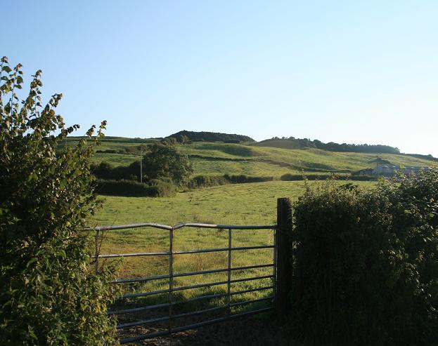
Askerswell Down is a picturesque area located in the county of Dorset, England. It is part of the larger expanse known as the Dorset Downs, which is characterized by its rolling hills, stunning views, and diverse wildlife. The downland landscape of Askerswell Down is mainly composed of open grassland, interspersed with patches of heather and gorse.
This area is popular among nature enthusiasts and hikers due to its extensive network of walking trails, which offer breathtaking vistas of the surrounding countryside. The down provides a habitat for a variety of bird species, including skylarks and meadow pipits, which can often be heard singing in the clear skies above.
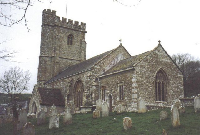
The unique flora and fauna of Askerswell Down are protected by its designation as a Site of Special Scientific Interest (SSSI). The downland supports a rich biodiversity, with numerous species of butterflies, bees, and other insects thriving in its diverse habitats. The presence of ancient archaeological sites, such as burial mounds and field systems, adds to the historical significance of the area.
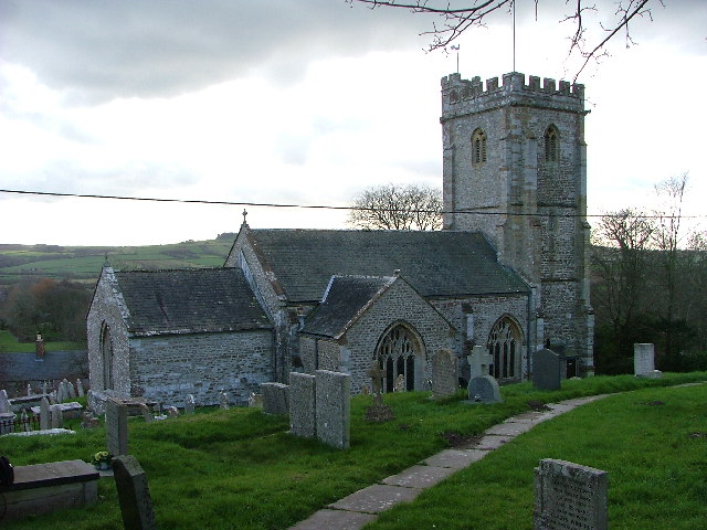
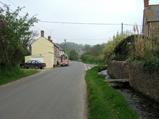
The village of Askerswell, from which the down takes its name, is nestled at the foot of the hill. It is a charming village with a small population, consisting mainly of traditional cottages and farmhouses. The downland acts as a scenic backdrop to the village, providing a sense of tranquility and natural beauty to the residents and visitors alike.
In conclusion, Askerswell Down is a captivating area in Dorset, offering stunning landscapes, a wealth of wildlife, and a rich historical heritage. It is a place where nature and history merge, providing a haven for those seeking solace in the beauty of the countryside.
If you have any feedback on the listing, please let us know in the comments section below.
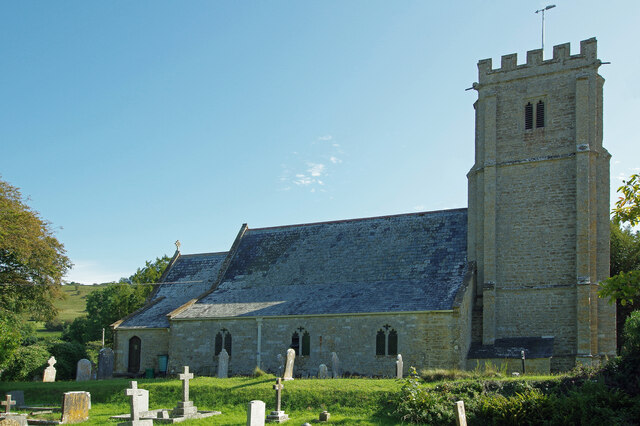
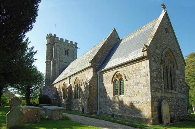
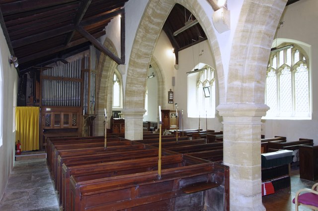
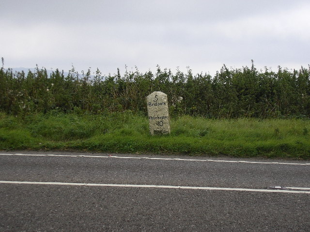
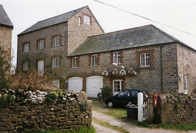
Askerswell Down Images
Images are sourced within 2km of 50.726498/-2.6518321 or Grid Reference SY5492. Thanks to Geograph Open Source API. All images are credited.


Askerswell Down is located at Grid Ref: SY5492 (Lat: 50.726498, Lng: -2.6518321)
Unitary Authority: Dorset
Police Authority: Dorset
What 3 Words
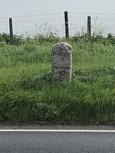
///hello.fairway.gratuity. Near Bridport, Dorset
Nearby Locations
Related Wikis

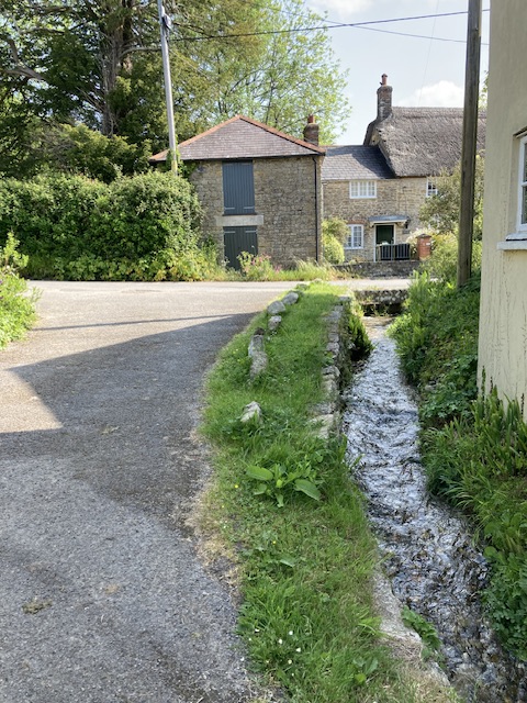
Askerswell
Askerswell () is a small village and civil parish in the county of Dorset in southwest England. It is sited on the small River Asker. It lies 11 miles...

Chilcombe
Chilcombe is a hamlet and civil parish in Dorset, England, situated in the Dorset unitary authority administrative area about 4 miles (6.4 km) east of...
Litton Cheney
Litton Cheney is a village and civil parish in the county of Dorset in south-west England. It lies 9 miles (14 km) west of the county town Dorchester....

Eggardon Hill
Eggardon Hill is a prehistoric hillfort on a hill in Dorset, England. It is located on chalk uplands approximately four miles to the east of the town of...

West Compton, Dorset
West Compton is a hamlet and civil parish in the county of Dorset, England. It lies in western Dorset, about 7 miles to the east of the town of Bridport...
Shipton Hill Settlement
The Shipton Hill Settlement is an archaeological site, a defended settlement of the Iron Age, near Shipton Gorge in Dorset, England. It is a scheduled...

Long Bredy
Long Bredy is a village and civil parish in the county of Dorset in south-west England, situated approximately 7 miles (11 km) west of the county town...

Puncknowle
Puncknowle ( PUN-əl) is a village and civil parish in the county of Dorset in southwest England, situated on the southern slopes of the Bride Valley approximately...
Nearby Amenities
Located within 500m of 50.726498,-2.6518321Have you been to Askerswell Down?
Leave your review of Askerswell Down below (or comments, questions and feedback).