Common-y-coed
Settlement in Monmouthshire
Wales
Common-y-coed
Common-y-coed is a small village located in the county of Monmouthshire, Wales. Situated in the southeastern part of the country, it is nestled in the picturesque Usk Valley. The village is known for its beautiful countryside and tranquil surroundings, making it an ideal destination for nature lovers and those seeking a peaceful retreat.
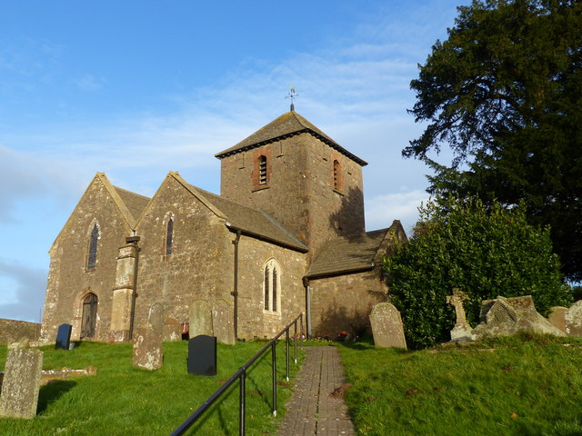
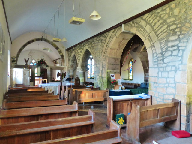
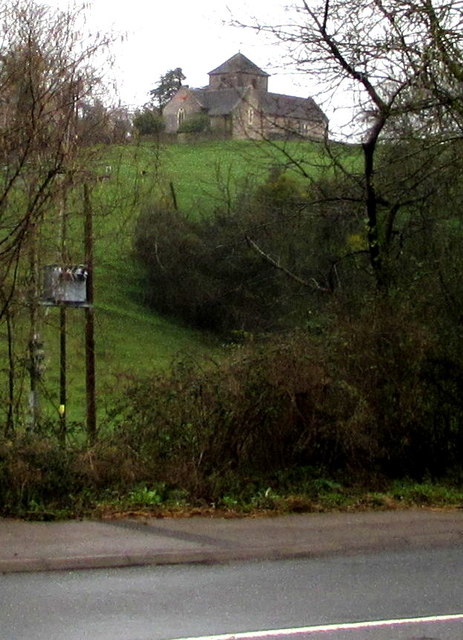
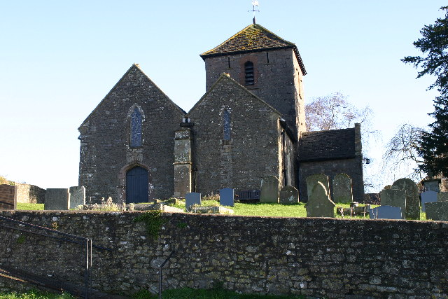
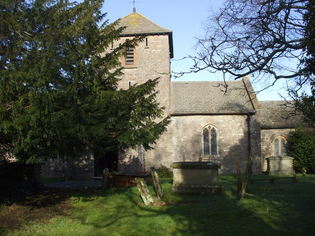
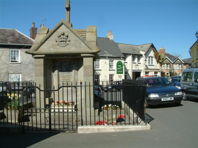
Common-y-coed is home to a tight-knit community, with a population of around 500 residents. The village has a rich history dating back to medieval times, evident in its well-preserved traditional architecture and charming cottages. The local church, St. Mary's, is a notable landmark that adds to the village's historical charm.
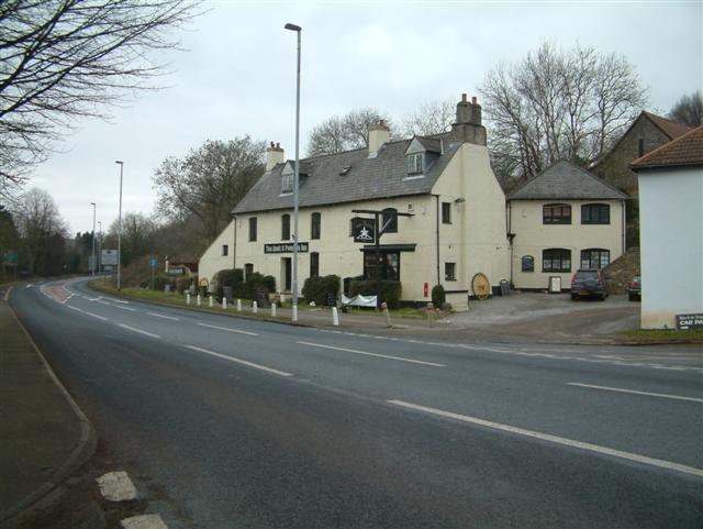
Despite its small size, Common-y-coed offers a range of amenities to its residents and visitors. The village has a primary school, providing education for local children, as well as a community hall that serves as a venue for various events and gatherings. Additionally, there are a number of local businesses, including a small convenience store and a cozy pub, offering essential goods and services to the community.
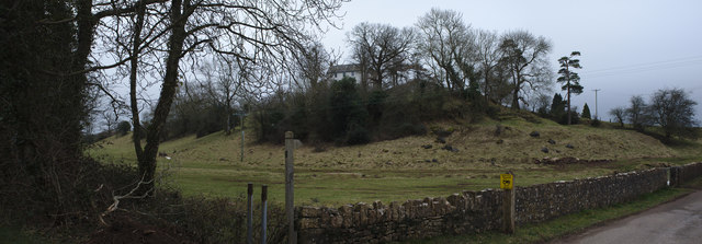
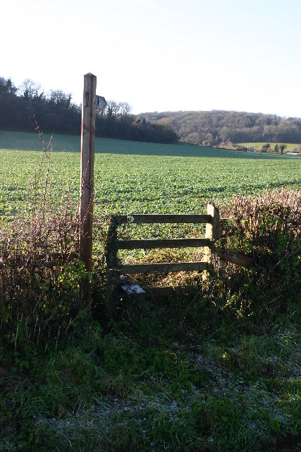
Surrounded by rolling hills and meandering rivers, Common-y-coed boasts breathtaking natural beauty. The village is an excellent starting point for exploring the Monmouthshire countryside, with numerous walking trails and cycling routes in the vicinity. Nearby attractions include the renowned Usk Valley Walk, which offers panoramic views of the surrounding landscape, and the Usk Reservoir, a popular spot for fishing and boating enthusiasts.
In summary, Common-y-coed is a charming village in Monmouthshire, Wales, offering a peaceful and picturesque setting amidst the stunning Usk Valley. With its rich history, close-knit community, and access to beautiful countryside, it is a destination that appeals to both locals and visitors seeking tranquility and natural beauty.
If you have any feedback on the listing, please let us know in the comments section below.
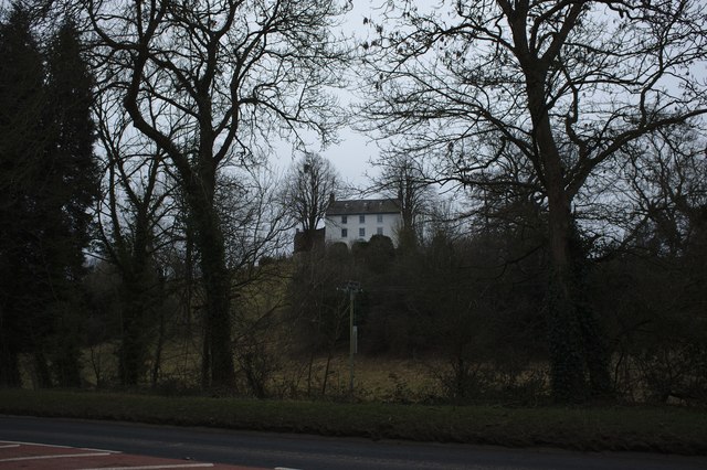
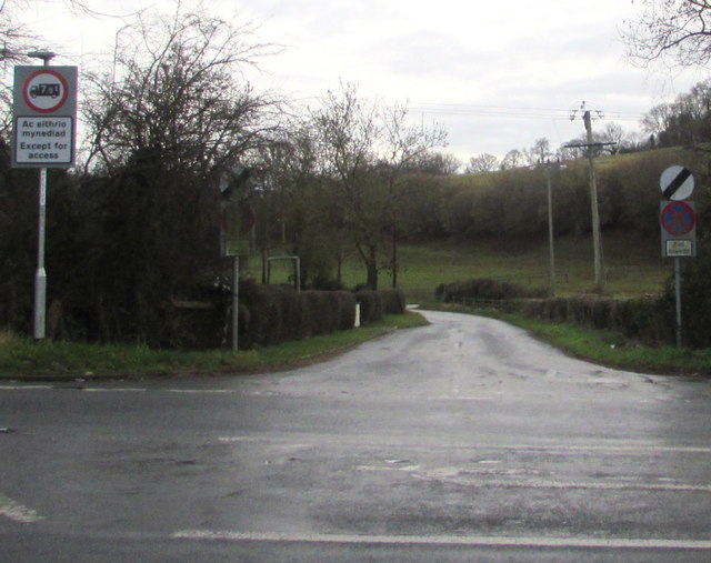
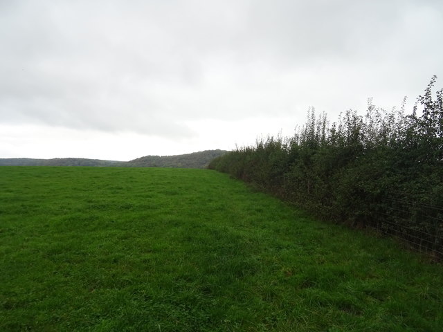
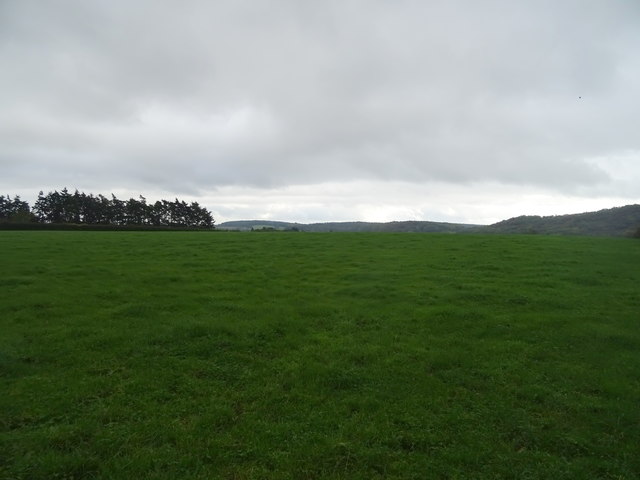
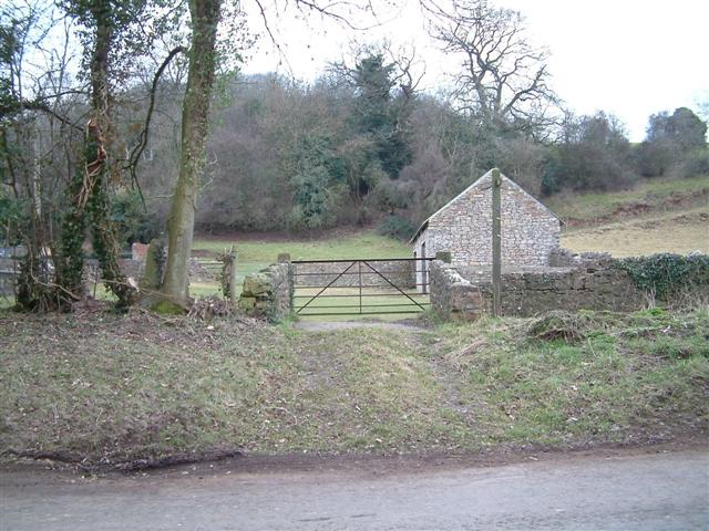
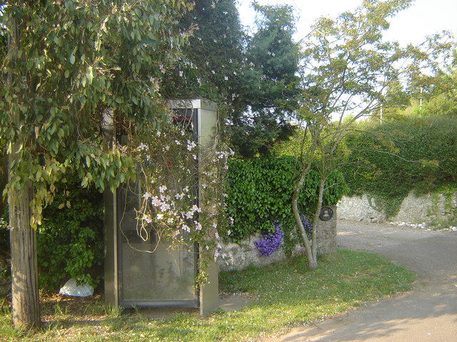
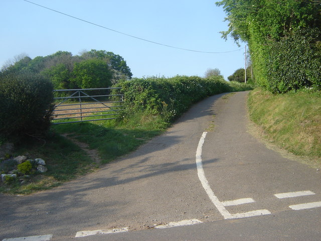
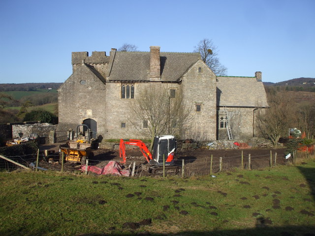
Common-y-coed Images
Images are sourced within 2km of 51.596946/-2.8242999 or Grid Reference ST4389. Thanks to Geograph Open Source API. All images are credited.
Common-y-coed is located at Grid Ref: ST4389 (Lat: 51.596946, Lng: -2.8242999)
Unitary Authority: Monmouthshire
Police Authority: Gwent
What 3 Words
///panels.intersect.storm. Near Magor, Monmouthshire
Nearby Locations
Related Wikis

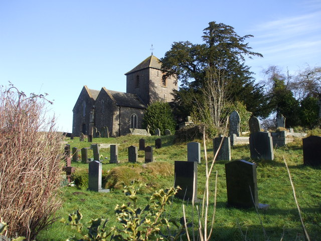
St. Brides Netherwent
St. Brides Netherwent (Welsh: Sant-y-brid) is a parish and largely deserted village in Monmouthshire, south-east Wales. It is centred 2 miles north of...

Penhow Woodlands National Nature Reserve
Penhow Woodlands National Nature Reserve is a national nature reserve and Site of Special Scientific Interest located in south east Wales near the village...
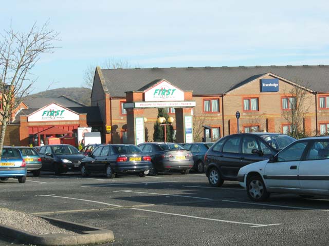
Magor services
Magor services (in Welsh: Gwasanaethau Magwyr) is a motorway service station on the M4, located just off junction 23A, at Magor near Newport, in Monmouthshire...
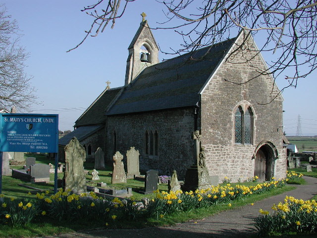
Undy
Undy (Welsh: Gwndy) is a village in Monmouthshire, south east Wales, adjoining the village of Magor with which it forms the community and parish of Magor...
Magor, Monmouthshire
Magor (English: ; Welsh: Magwyr) is a large village in Monmouthshire, south east Wales, about 9 miles (14 km) west of Chepstow and about 9 miles (14 km...

Penhow Castle
Penhow Castle, Penhow, Newport dates from the early 12th century. Extended and reconstructed in almost every century since, it has been claimed to be the...
Magor with Undy
Magor with Undy is a community on the coast of the Severn Estuary in Monmouthshire, Wales. It includes the villages of Magor and Undy.The Magor with Undy...
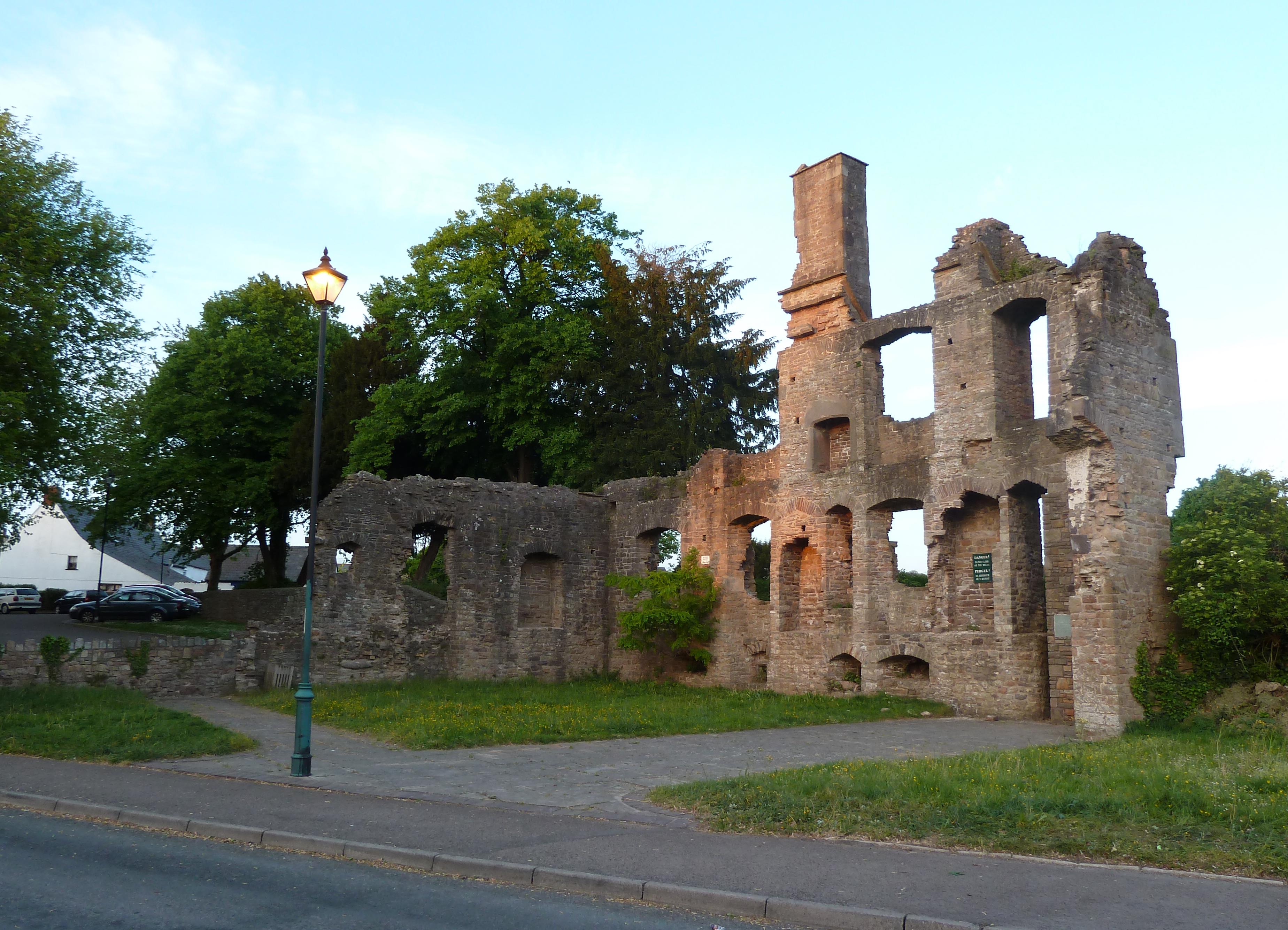
The Procurator's House, Magor
The Procurator's House in Magor, Monmouthshire, Wales, is a large, ruined mansion of the sixteenth-century, standing next to St Mary's Church in the centre...
Nearby Amenities
Located within 500m of 51.596946,-2.8242999Have you been to Common-y-coed?
Leave your review of Common-y-coed below (or comments, questions and feedback).