Comp

Settlement in Kent Tonbridge and Malling

England

Comp

Teston Road Offham by the railway line This gate is where there was once a level crossing to the A20. On the A20 side, where there is now a garage, there used to be an all-night transport cafe in a wooden building. They were there in 1956 but had gone by 1979.
Teston Road Offham by the railway line Credit: Ron Lee

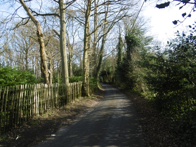
Comp is a small village located in the county of Kent, in southeastern England. Situated about 10 miles southeast of the city of Canterbury, Comp is nestled in the rolling hills of the Kent Downs, an Area of Outstanding Natural Beauty. The village is surrounded by picturesque countryside, offering residents and visitors stunning views and ample opportunities for outdoor activities.

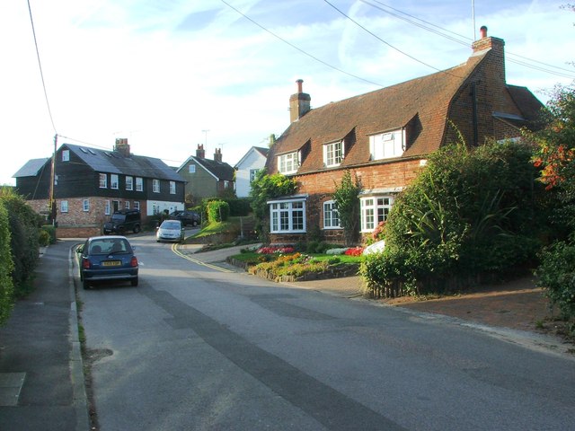
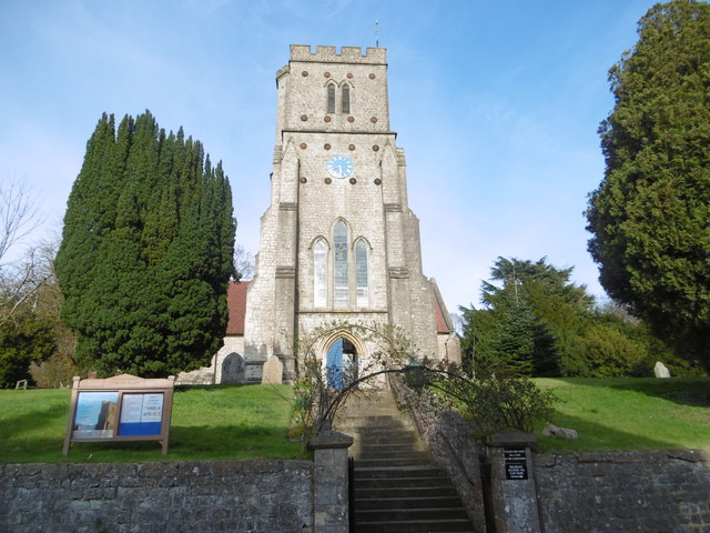
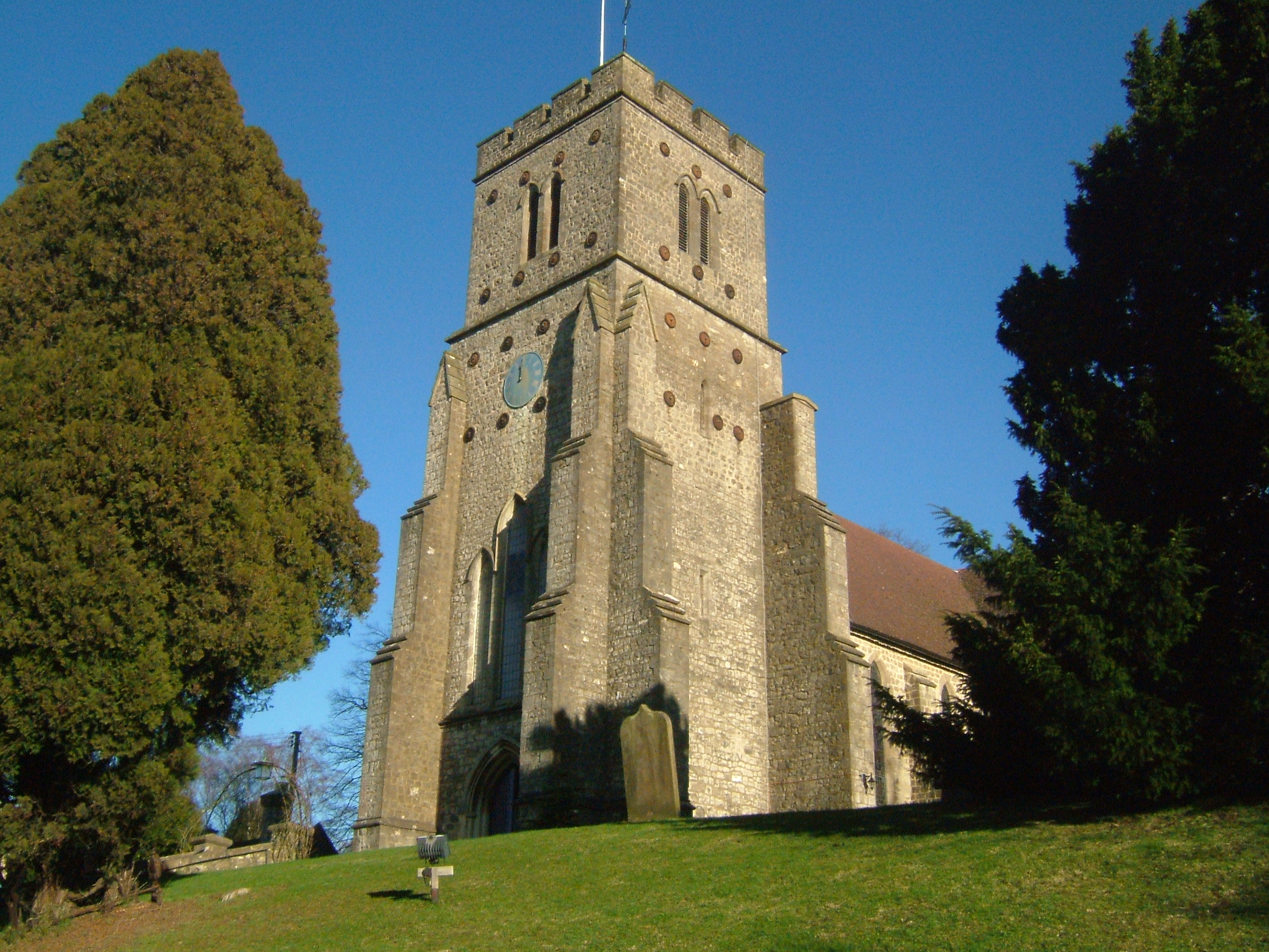
With a population of around 500 people, Comp is a tight-knit community known for its friendly and welcoming atmosphere. The village is characterized by its charming traditional cottages, many of which date back several centuries. The local church, St. Mary's, is a prominent feature of the village, with its distinctive medieval architecture and peaceful churchyard.

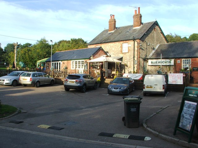
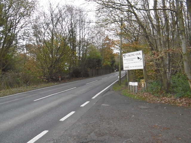
While primarily a residential area, Comp does have a small selection of amenities to cater to the needs of its residents. These include a local pub, The Rose and Crown, which serves as a social hub for the community, as well as a village hall that hosts various events and gatherings throughout the year.

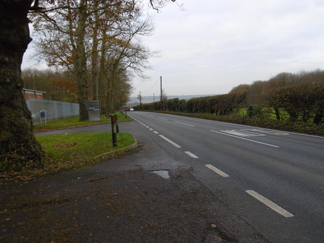
Due to its proximity to Canterbury, residents of Comp have easy access to a wider range of amenities, including shops, supermarkets, schools, and healthcare facilities. The village is also well-connected by road, with the A2 highway passing nearby, providing convenient links to other towns and cities in the region.

Overall, Comp offers a tranquil and idyllic setting for those seeking a peaceful village lifestyle, with the added benefit of being within easy reach of larger urban centers.

If you have any feedback on the listing, please let us know in the comments section below.
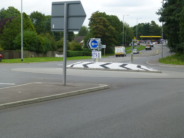
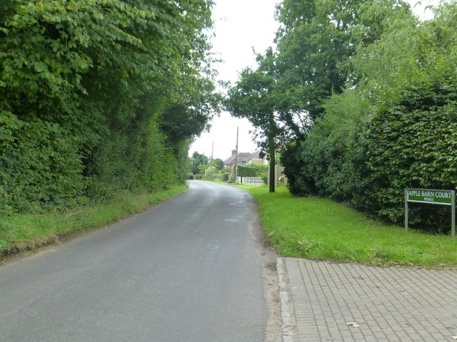
Comp Images

Images are sourced within 2km of 51.288148/0.34836 or Grid Reference TQ6356. Thanks to Geograph Open Source API. All images are credited.

Teston Road Offham by the railway line This gate is where there was once a level crossing to the A20. On the A20 side, where there is now a garage, there used to be an all-night transport cafe in a wooden building. They were there in 1956 but had gone by 1979.
Teston Road Offham by the railway line
This gate is where there was once a level crossing to the A20. On the A20 side, where there is now a garage, there used to be an all-night transport cafe in a wooden building. They were there in 1956 but had gone by 1979.
A new roundabout at Wrotham Heath This is where the B2016 - Seven Mile Lane - joins the A26.  It's a busy junction, I had a long wait before there were no cars negotiating it.
A new roundabout at Wrotham Heath
This is where the B2016 - Seven Mile Lane - joins the A26. It's a busy junction, I had a long wait before there were no cars negotiating it.
Long Mill Lane  Crouch
Long Mill Lane Crouch
The Captain's Walk, Platt This is a row of four almshouses, listed Grade II. The listing details state that it was built c. 1850 in Tudor-Revival style. They are managed by the Betenson Trust.
The Captain's Walk, Platt
This is a row of four almshouses, listed Grade II. The listing details state that it was built c. 1850 in Tudor-Revival style. They are managed by the Betenson Trust.
Long Mill Lane, St. Mary's Platt
Blue Anchor, St. Mary's Platt
Long Mill Lane, St. Mary's Platt
Seven Mile Lane Seven Mile Lane is a long and mostly straight road leading from the A20 at Wrotham Heath to the A26 near Mereworth. This view near the Viking Oak Boarding Kennels and Cattery looks towards Wrotham Heath.
Seven Mile Lane
Seven Mile Lane is a long and mostly straight road leading from the A20 at Wrotham Heath to the A26 near Mereworth. This view near the Viking Oak Boarding Kennels and Cattery looks towards Wrotham Heath.
Seven Mile Lane Seven Mile Lane is a long and mostly straight road leading from the A20 at Wrotham Heath to the A26 near Mereworth. This view by the entrance to the Viking Oak Boarding Kennels and Cattery looks towards Mereworth.
Seven Mile Lane
Seven Mile Lane is a long and mostly straight road leading from the A20 at Wrotham Heath to the A26 near Mereworth. This view by the entrance to the Viking Oak Boarding Kennels and Cattery looks towards Mereworth.
St Mary's Church, Platt St Mary's Church, Platt only dates from 1842. It is seen here from Long Mill Lane.
St Mary's Church, Platt
St Mary's Church, Platt only dates from 1842. It is seen here from Long Mill Lane.
Stile alongside Windmill Hill Although there is no footpath marked on the map from this stile, Windmill Hill is quite narrow here and I assume the path just provides a safer alternative to the road.
Stile alongside Windmill Hill
Although there is no footpath marked on the map from this stile, Windmill Hill is quite narrow here and I assume the path just provides a safer alternative to the road.
Track off Ford Lane To the left is the southern boundary of Ford Place. Millpond Cottage is just behind where I am standing, on the other side of Ford Lane.
Track off Ford Lane
To the left is the southern boundary of Ford Place. Millpond Cottage is just behind where I am standing, on the other side of Ford Lane.
The Wealdway along St Vincents Lane The Wealdway is 80 miles long and runs from the River Thames at Gravesend to the English Channel at Eastbourne via Tonbridge, the Ashdown Forest and the South Downs. 

This section is between Ryarsh Wood and Wrotham Heath. It turns right away from St Vincents Lane near the start of the hill in the distance.
The Wealdway along St Vincents Lane
The Wealdway is 80 miles long and runs from the River Thames at Gravesend to the English Channel at Eastbourne via Tonbridge, the Ashdown Forest and the South Downs. This section is between Ryarsh Wood and Wrotham Heath. It turns right away from St Vincents Lane near the start of the hill in the distance.
Almshouses at Platt St Mary's Church, Platt only dates from 1842. The almshouses opposite the church, on the left here, also appear to be 19th century. See also <a title="https://www.geograph.org.uk/photo/4903601" href="https://www.geograph.org.uk/photo/4903601">Link</a>
Almshouses at Platt
St Mary's Church, Platt only dates from 1842. The almshouses opposite the church, on the left here, also appear to be 19th century. See also Link
Almshouses at Platt St Mary's Church, Platt only dates from 1842. The almshouses opposite the church also appear to be 19th century.
Almshouses at Platt
St Mary's Church, Platt only dates from 1842. The almshouses opposite the church also appear to be 19th century.
St Mary's Church, Platt St Mary's Church, Platt only dates from 1842. This photograph is taken from the garden of the nearby almshouses - see <a title="https://www.geograph.org.uk/photo/4903601" href="https://www.geograph.org.uk/photo/4903601">Link</a>
St Mary's Church, Platt
St Mary's Church, Platt only dates from 1842. This photograph is taken from the garden of the nearby almshouses - see Link
Track off Windmill Hill Although there is no footpath marked on the map from the stile on the right, Windmill Hill is quite narrow here and I assume the path just provides a safer alternative to the road. The track ahead leads to Gallows Hill.
Track off Windmill Hill
Although there is no footpath marked on the map from the stile on the right, Windmill Hill is quite narrow here and I assume the path just provides a safer alternative to the road. The track ahead leads to Gallows Hill.
Windmill Hill This is just south of the A25 and leads to Great Comp garden or the village of Platt.
Windmill Hill
This is just south of the A25 and leads to Great Comp garden or the village of Platt.
Show me another place!

Comp is located at Grid Ref: TQ6356 (Lat: 51.288148, Lng: 0.34836)

Administrative County: Kent

District: Tonbridge and Malling

Police Authority: Kent

What 3 Words

///debit.rigid.tidy. Near Borough Green, Kent

Nearby Locations

Leybourne Wood Comp

Related Wikis

Tonbridge and Malling

Tonbridge and Malling is a local government district with borough status in Kent, England. The council is based at Kings Hill. The borough also includes...
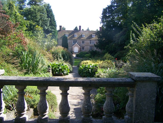
Great Comp Garden

Great Comp Garden is a Georgian farmhouse and garden, located on Comp Lane near the hamlet of Comp in Kent, England. It was developed by Roderick and Joyce...

Comp, Kent

Comp is a hamlet in the Tonbridge and Malling district, in the English county of Kent. == History == In 1240, the town was known as Camp de Wrotha (an...

Wrotham Heath

Wrotham Heath is a settlement in the borough of Tonbridge and Malling in Kent, England. It is part of the civil parish of Wrotham, and is approximately...

Addington, Kent

Addington is a village in the English county of Kent. It is close to the M20 motorway, and between the villages of Wrotham Heath and West Malling. In the...

Platt, Kent

Platt, or St. Mary's Platt is a village and civil parish in the local government district of Tonbridge and Malling in Kent, England. The hamlet of Crouch...
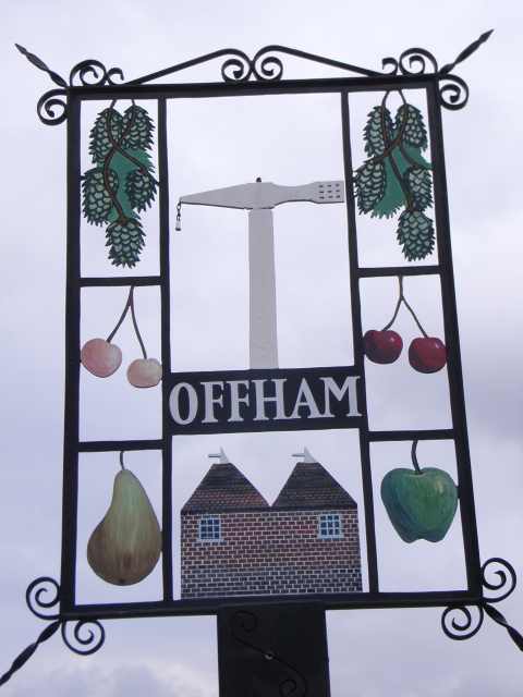
Offham, Kent

Offham is a village in the local government district of Tonbridge and Malling in Kent, England, five miles to the west of Maidstone. Offham has a quintain...

Trottiscliffe Meadows

Trottiscliffe Meadows is a 4.8-hectare (12-acre) biological Site of Special Scientific Interest south of Trottiscliffe in Kent. It is a Nature Conservation...

Nearby Amenities

Located within 500m of 51.288148,0.34836
Entrance: main
Lat/Long: 51.2919627/0.3475125
Richard Hochfeld
Tourism: artwork
Lat/Long: 51.287791/0.3502646
Post Box
Collection Times: Mo-Fr 09:00; Sa 07:00; Su off
Colour: red
Operator: Royal Mail
Post Box Type: wall
Ref: TN15 246
Royal Cypher: VR
Royal Cypher Wikidata: Q33102356
Lat/Long: 51.2879634/0.3497914
Bench
Backrest: yes
Colour: brown
Material: wood
Seats: 2
Lat/Long: 51.2874286/0.354704
The data included in this document is from www.openstreetmap.org. The data is made available under ODbL.

Have you been to Comp?

Leave your review of Comp below (or comments, questions and feedback).