St Bride's Netherwent
Settlement in Monmouthshire
Wales
St Bride's Netherwent
St Bride's Netherwent is a small village located in the county of Monmouthshire, Wales. Situated in the southeastern part of the county, it lies approximately 5 miles northeast of the town of Chepstow and 20 miles west of the city of Newport.
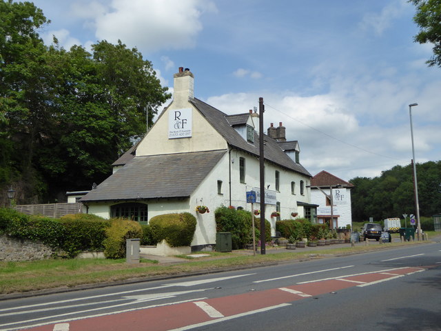
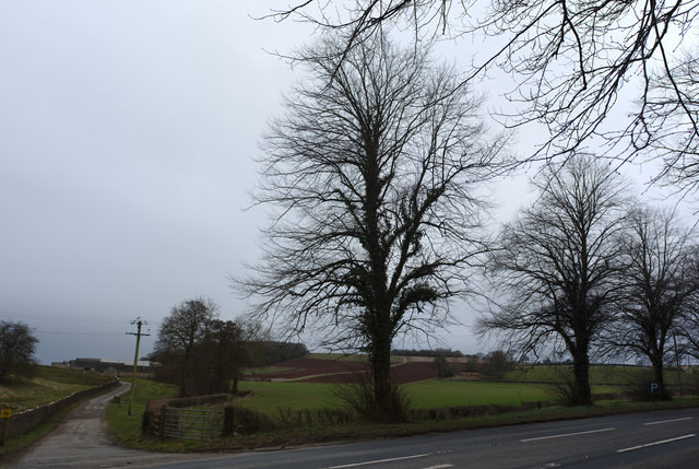
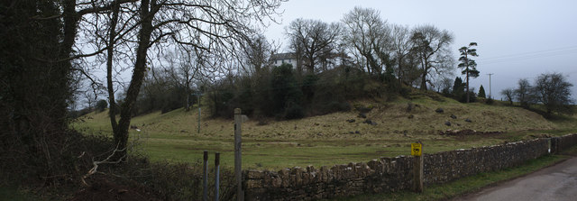
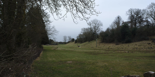
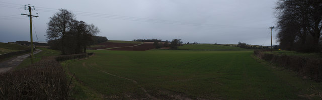
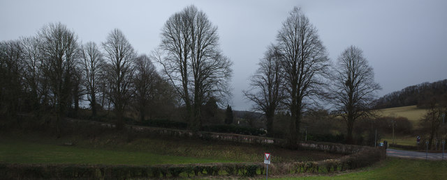
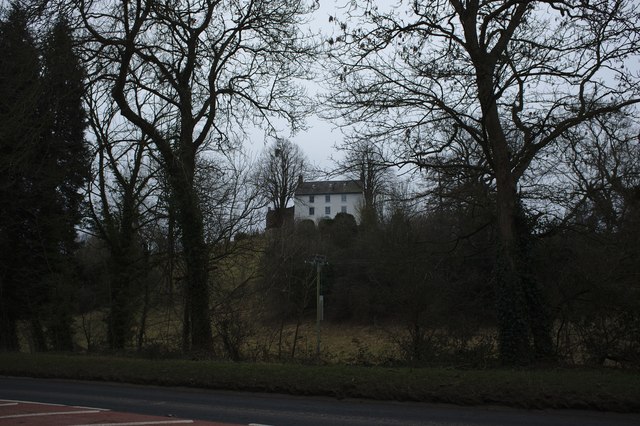
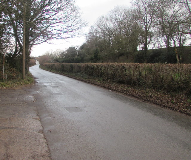
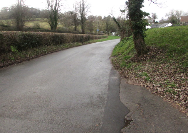
This rural village is nestled in a picturesque countryside setting, characterized by rolling hills, lush green fields, and charming country lanes. It is surrounded by a natural beauty that attracts nature enthusiasts, hikers, and cyclists.
Historically, St Bride's Netherwent has been an agricultural community, with farming playing a significant role in its economy. The village is dotted with traditional stone-built houses, farm buildings, and barns, lending it a timeless, quintessentially Welsh atmosphere.
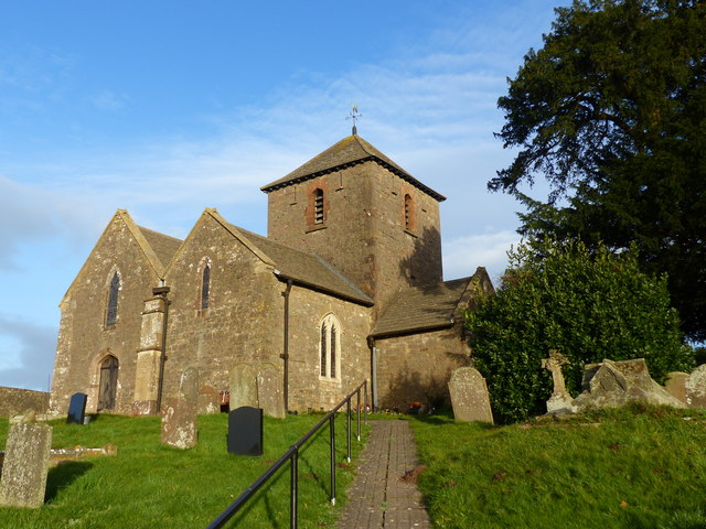
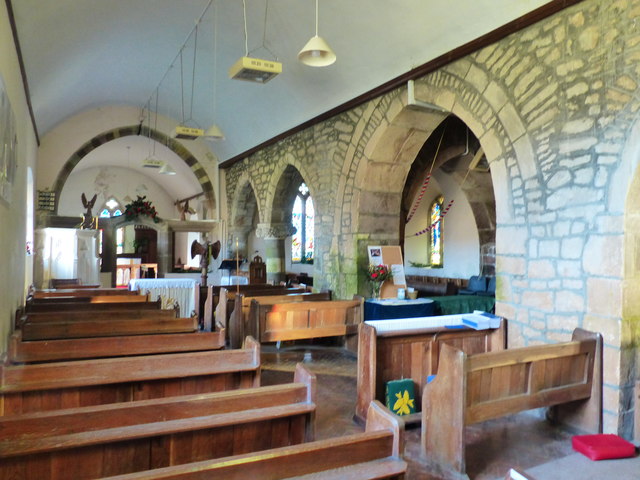
One of the notable features of St Bride's Netherwent is its parish church, dedicated to St. Bride. This beautiful medieval church dates back to the 13th century and features a striking tower and a well-preserved interior. It serves as a place of worship for the local community and is also of historical interest to visitors.
Despite its small size, the village has a strong sense of community, with various local events and gatherings taking place throughout the year. It offers a peaceful and tranquil living environment, attracting those seeking a slower-paced lifestyle away from the hustle and bustle of larger towns and cities.
Overall, St Bride's Netherwent is a charming village that combines natural beauty, historical significance, and a close-knit community, making it an attractive place to live or visit for those seeking a slice of rural Welsh life.
If you have any feedback on the listing, please let us know in the comments section below.
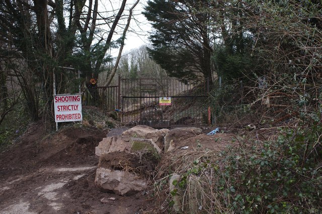
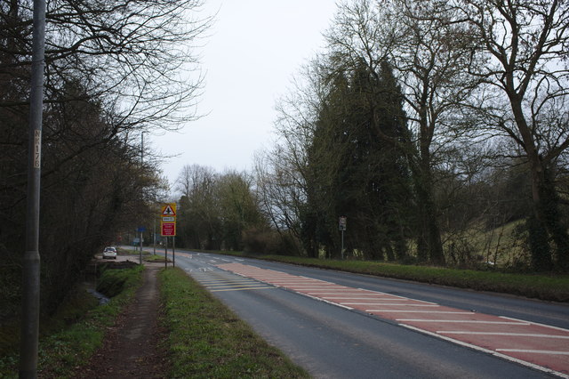
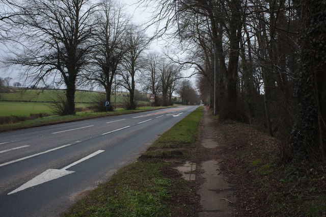
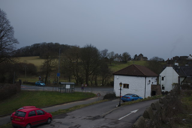
St Bride's Netherwent Images
Images are sourced within 2km of 51.60338/-2.823584 or Grid Reference ST4389. Thanks to Geograph Open Source API. All images are credited.
St Bride's Netherwent is located at Grid Ref: ST4389 (Lat: 51.60338, Lng: -2.823584)
Unitary Authority: Monmouthshire
Police Authority: Gwent
Also known as: St Brides Netherwent, Saint-y-brid
What 3 Words
///meatball.wages.motored. Near Llanvaches, Newport
Nearby Locations
Related Wikis

St. Brides Netherwent
St. Brides Netherwent (Welsh: Sant-y-brid) is a parish and largely deserted village in Monmouthshire, south-east Wales. It is centred 2 miles north of...

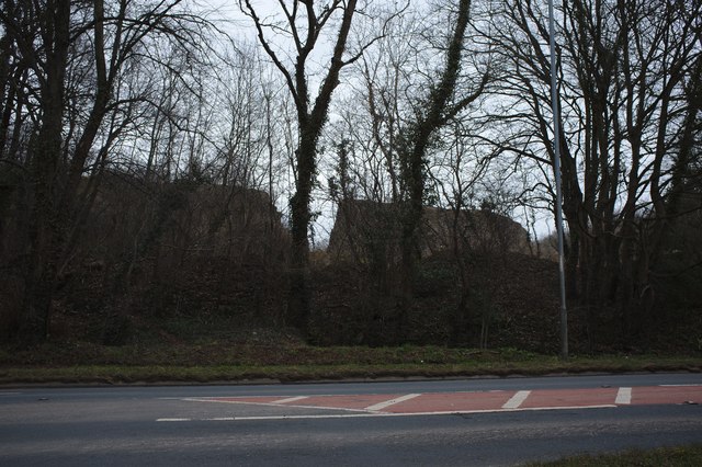
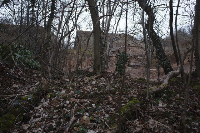
Penhow Woodlands National Nature Reserve
Penhow Woodlands National Nature Reserve is a national nature reserve and Site of Special Scientific Interest located in south east Wales near the village...

Penhow Castle
Penhow Castle, Penhow, Newport dates from the early 12th century. Extended and reconstructed in almost every century since, it has been claimed to be the...
Penhow
Penhow (Welsh: Pen-hŵ) is a small village and community (parish) just inside the eastern edge of the boundary of the city of Newport, South Wales, within...
Related Videos

Scared of bridges? Stop avoiding them and save hours!
Scared of bridges when you drive? If you waste time planning routes on the sat nav to avoid bridges then my videos and therapy ...

Teaching homelessness in schools - Wallich Onesies
Homelessness and rough sleeping charity The Wallich teaches age-appropriate workshops in schools across Wales. We spoke to ...
Nearby Amenities
Located within 500m of 51.60338,-2.823584Have you been to St Bride's Netherwent?
Leave your review of St Bride's Netherwent below (or comments, questions and feedback).