Saint-y-nylll
Settlement in Glamorgan
Wales
Saint-y-nylll

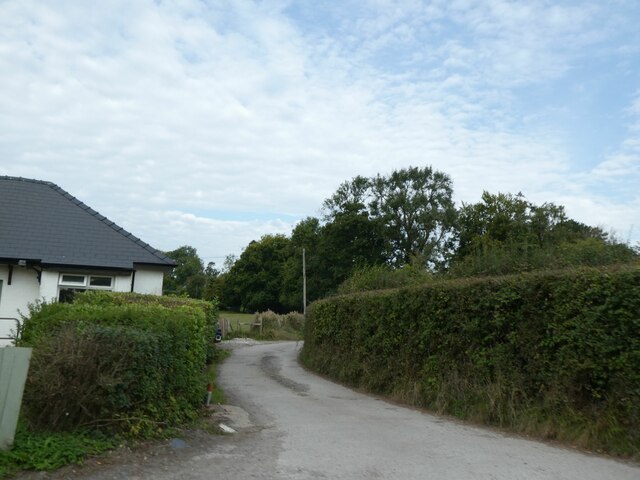
Saint-y-nylll is a small village located in the county of Glamorgan, Wales. Situated in the southern part of the country, it is nestled amidst picturesque rolling hills and lush green landscapes. The village is known for its tranquility and natural beauty, making it an ideal destination for those seeking a peaceful retreat.
With a population of around 500 residents, Saint-y-nylll exudes a close-knit community feel. The village is characterized by its charming stone cottages and traditional Welsh architecture, which adds to its timeless appeal. The local economy revolves around agriculture, with many residents engaged in farming and livestock rearing.
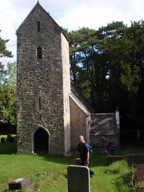
One of the prominent landmarks in Saint-y-nylll is the village church, which dates back centuries and is dedicated to a local saint. The church's architecture reflects different periods of history, showcasing elements from medieval times to the Victorian era. It serves as a gathering place for the community, hosting religious ceremonies and cultural events throughout the year.
Nature enthusiasts will find plenty to explore in the surrounding area. Saint-y-nylll is situated near the edge of a national park, offering access to breathtaking hiking trails and scenic viewpoints. The village also benefits from its proximity to the coastline, with stunning beaches just a short drive away.
Overall, Saint-y-nylll is a charming village that offers a tranquil escape from the hustle and bustle of city life. Its breathtaking natural beauty, rich history, and tight-knit community make it an idyllic destination for those seeking a peaceful and authentic Welsh experience.
If you have any feedback on the listing, please let us know in the comments section below.
Saint-y-nylll Images
Images are sourced within 2km of 51.493594/-3.3121938 or Grid Reference ST0978. Thanks to Geograph Open Source API. All images are credited.


Saint-y-nylll is located at Grid Ref: ST0978 (Lat: 51.493594, Lng: -3.3121938)
Unitary Authority: The Vale of Glamorgan
Police Authority: South Wales
Also known as: St y-Nyll
What 3 Words
///pirate.transmitted.both. Near Pentyrch, Cardiff
Nearby Locations
Related Wikis
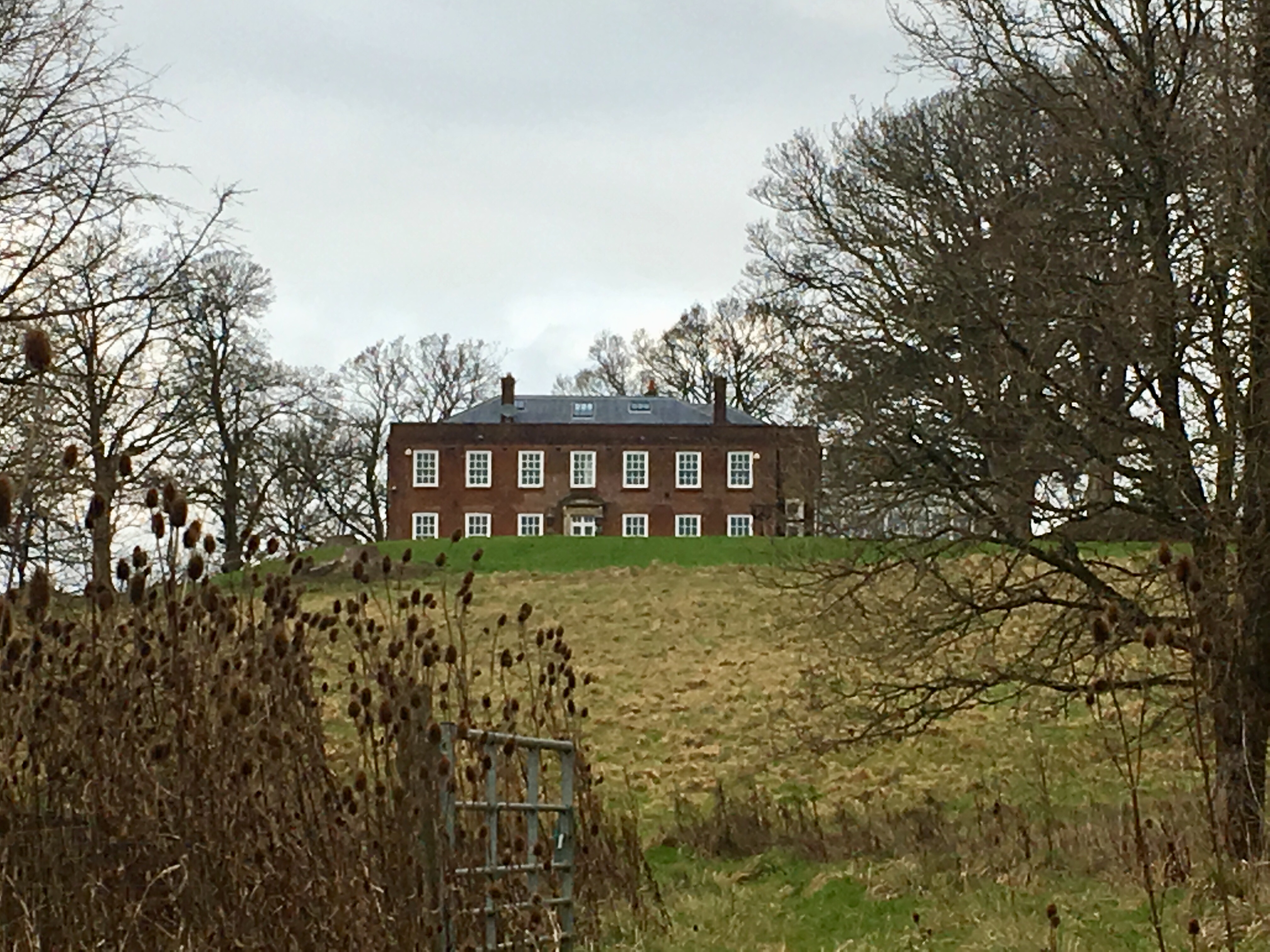
St-y-Nyll
St-y-Nyll is a large detached house near the village of St. Brides-super-Ely in the Vale of Glamorgan. It was built in 1924 by the Welsh architect Percy...
St. Brides-super-Ely
St. Brides-super-Ely is a village and district of the community of Peterston-super-Ely, within the Vale of Glamorgan, South Wales. It is located near...

South Glamorgan
South Glamorgan (Welsh: De Morgannwg) is a preserved county of Wales. It was originally formed in 1974 under the Local Government Act 1972, as a county...
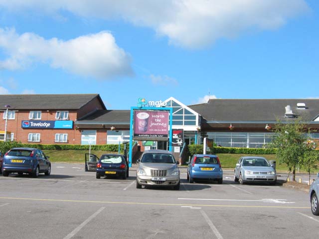
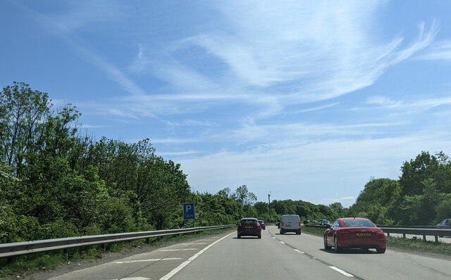
Cardiff West services
Cardiff West services (Welsh: Gwasanaethau Gorllewin Caerdydd) is a motorway service station on junction 33 of the M4 motorway and the Capel Llanilltern...
Nearby Amenities
Located within 500m of 51.493594,-3.3121938Have you been to Saint-y-nylll?
Leave your review of Saint-y-nylll below (or comments, questions and feedback).