Commonwood
Settlement in Hertfordshire Three Rivers
England
Commonwood
Commonwood is a small village located in the county of Hertfordshire, England. Situated approximately 35 miles north of London, the village is nestled amidst the picturesque Chiltern Hills, offering residents and visitors a tranquil and scenic setting.
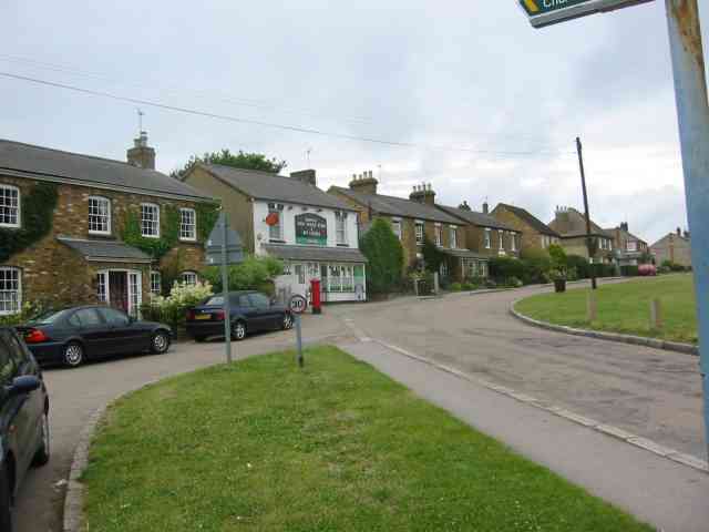
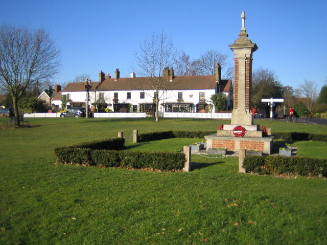
With a population of around 500 residents, Commonwood is known for its tight-knit community and welcoming atmosphere. The village is primarily residential, featuring a mix of traditional cottages and modern homes, all surrounded by lush green countryside.
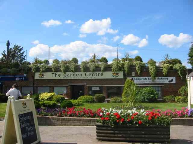
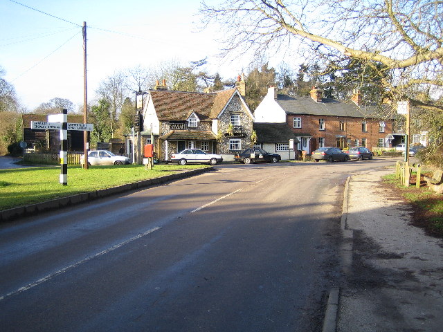
Commonwood benefits from its close proximity to the neighboring towns of Rickmansworth and Watford, which provide a range of amenities including supermarkets, shops, and leisure facilities. The village itself, however, offers limited amenities, consisting of a local pub and a village hall where community events and gatherings take place.
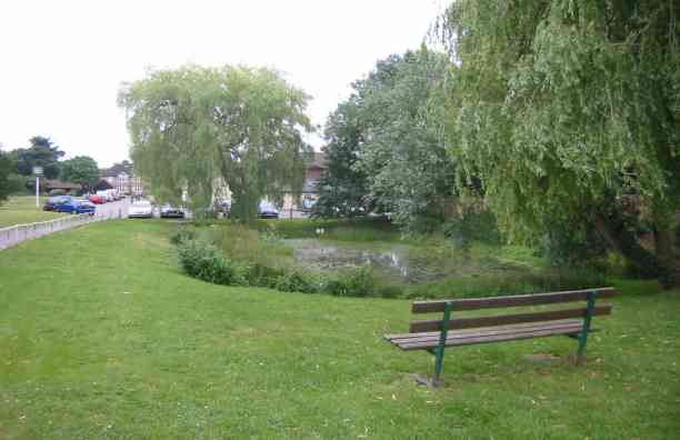
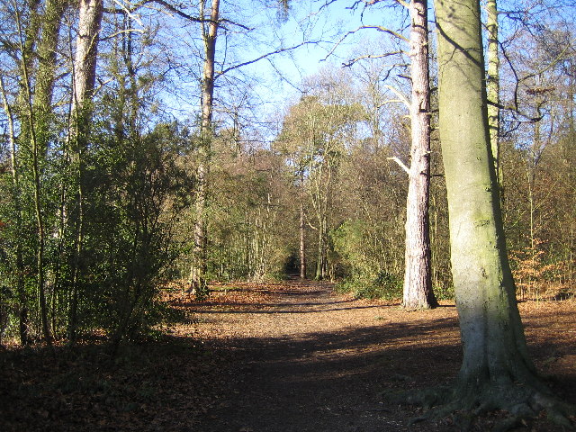
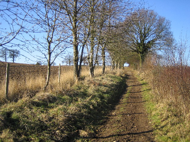
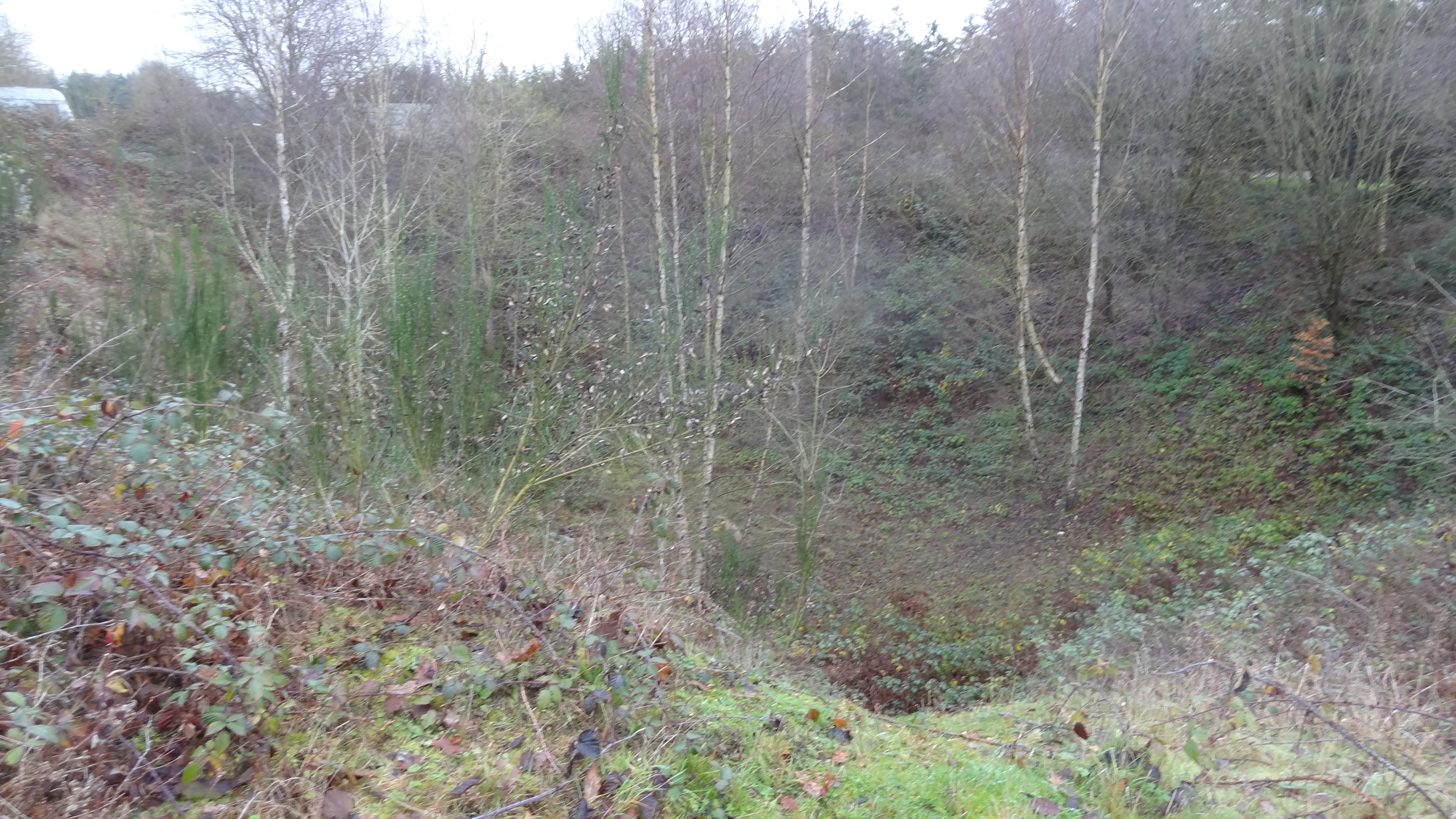
The village is renowned for its natural beauty, with plenty of opportunities for outdoor activities such as hiking, cycling, and horse riding. The surrounding area is dotted with charming woodlands, meadows, and country parks, making it an ideal location for nature lovers and outdoor enthusiasts.
Commonwood is well-connected to major transportation links, with the M25 motorway just a short drive away, providing easy access to London and other parts of the country. The nearest railway station is Rickmansworth, which offers regular services to London and other destinations.
Overall, Commonwood offers a peaceful and idyllic countryside retreat, providing a perfect balance between rural living and access to urban amenities.
If you have any feedback on the listing, please let us know in the comments section below.
Commonwood Images
Images are sourced within 2km of 51.693197/-0.488053 or Grid Reference TL0400. Thanks to Geograph Open Source API. All images are credited.


Commonwood is located at Grid Ref: TL0400 (Lat: 51.693197, Lng: -0.488053)
Administrative County: Hertfordshire
District: Three Rivers
Police Authority: Hertfordshire
What 3 Words
///enjoyable.woven.change. Near Kings Langley, Hertfordshire
Nearby Locations
Related Wikis

The Manor House, Chipperfield
The Manor House (formerly known as Pingelsgate) is a country house in Chipperfield, Hertfordshire, England. It dates from the late medieval period. It...

Sarratt
Sarratt is both a village and a civil parish in Three Rivers District, Hertfordshire, England. It is situated 4 miles (6.4 km) north of Rickmansworth...

Belsize, Hertfordshire
Belsize is a hamlet in Sarratt civil parish, Three Rivers District, Hertfordshire, England, situated less than a mile from Chipperfield and Sarratt.Belsize...

Chipperfield
Chipperfield is a village and civil parish in the Dacorum district of Hertfordshire, England, approximately five miles southwest of Hemel Hempstead and...
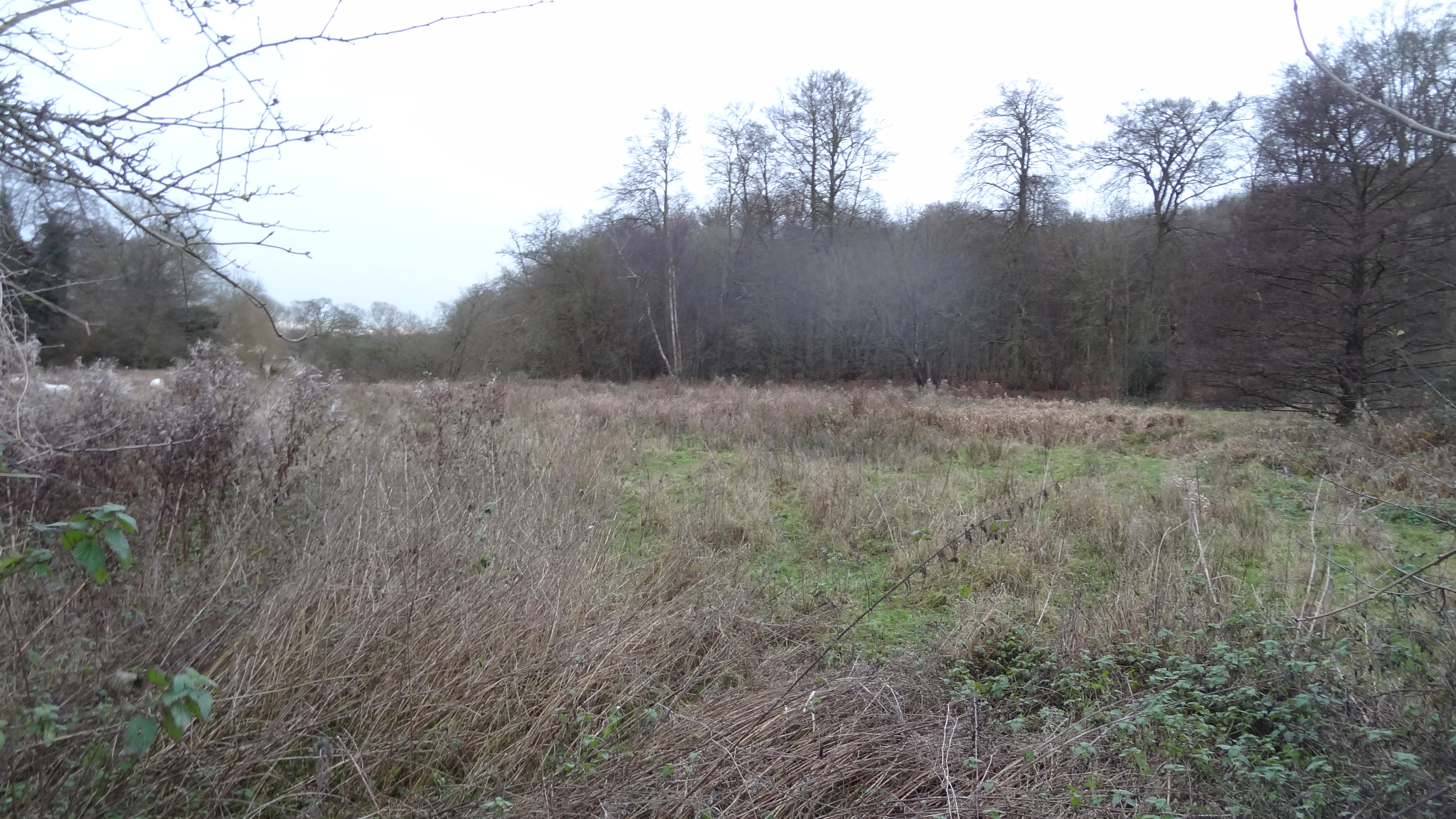
Sarratt Bottom nature reserve
Sarratt Bottom nature Reserve in Hertfordshire is a 3.2-hectare (7.9-acre) biological Site of Special Scientific Interest. The site is a meadow beside...
Westwood Quarry
Westwood Quarry is a 0.07 hectares (0.17 acres) geological site of Special Scientific Interest west of Watford in Hertfordshire. It was notified in 1987...
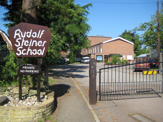
Rudolf Steiner School Kings Langley
Rudolf Steiner School Kings Langley was a Steiner School located in Kings Langley, Hertfordshire, England, formed in 1949. The school catered for pupils...

Kings Langley Palace
Kings Langley Palace was a 13th-century Royal Palace which was located to the west of the Hertfordshire village of Kings Langley in England. During the...
Nearby Amenities
Located within 500m of 51.693197,-0.488053Have you been to Commonwood?
Leave your review of Commonwood below (or comments, questions and feedback).