Springclose Plantation

Wood, Forest in Somerset South Somerset

England

Springclose Plantation

Helyar Arms Cottages and the Helyar Arms, East Coker.
Helyar Arms Credit: Wayland Smith

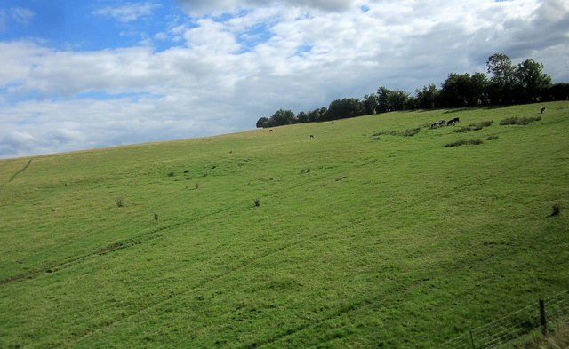
Springclose Plantation is a picturesque woodland located in Somerset, England. Nestled in the heart of the county, this plantation covers an area of approximately 100 acres, offering a serene and tranquil escape for nature enthusiasts and outdoor lovers alike.

The plantation is primarily composed of dense woodlands, encompassing a variety of tree species such as oak, beech, and ash. These towering trees provide a lush canopy, creating a cool and shaded environment even on the hottest summer days. The forest floor is adorned with a vibrant carpet of wildflowers, adding bursts of color to the landscape.

Springclose Plantation is home to a diverse range of wildlife, making it a haven for nature lovers. Visitors can spot an array of bird species, including woodpeckers, owls, and finches, as they serenade visitors with their melodic tunes. The plantation is also inhabited by small mammals such as squirrels, rabbits, and foxes, which can often be seen darting through the undergrowth.

Walking trails wind their way through the plantation, inviting visitors to explore the beauty of nature at their own pace. These well-maintained paths are suitable for all ages and abilities, making it an ideal destination for families and individuals alike. Along the way, benches and picnic spots can be found, providing the perfect opportunity to rest and take in the stunning surroundings.

Springclose Plantation offers a peaceful retreat from the hustle and bustle of everyday life. Whether it's a leisurely stroll, a picnic with loved ones, or birdwatching, this enchanting woodland provides a captivating experience for all who venture within its borders.

If you have any feedback on the listing, please let us know in the comments section below.

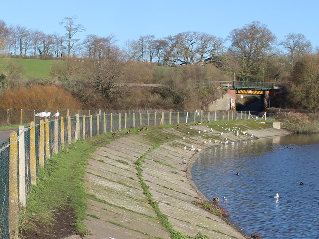
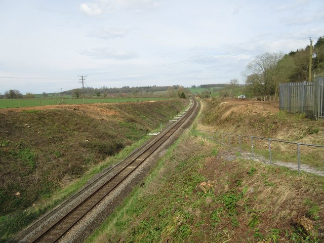
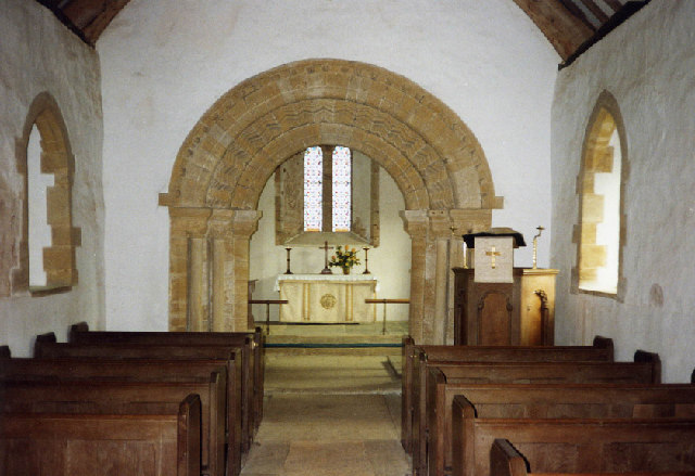
Springclose Plantation Images

Images are sourced within 2km of 50.90692/-2.6657417 or Grid Reference ST5312. Thanks to Geograph Open Source API. All images are credited.

Helyar Arms Cottages and the Helyar Arms, East Coker.
Helyar Arms
Cottages and the Helyar Arms, East Coker.
St Michael and All Angels, East Coker, Somerset
St Michael and All Angels, East Coker, Somerset North-East corner.
St Michael and All Angels, East Coker, Somerset
North-East corner.
St Michael and All Angels, East Coker, Somerset East wall.
St Michael and All Angels, East Coker, Somerset
East wall.
St Michael and All Angels, East Coker, Somerset South-East corner.
St Michael and All Angels, East Coker, Somerset
South-East corner.
St Michael and All Angels, East Coker, Somerset The Nave.
St Michael and All Angels, East Coker, Somerset
The Nave.
St Michael and All Angels, East Coker, Somerset The Altar and East window.
St Michael and All Angels, East Coker, Somerset
The Altar and East window.
St Michael and All Angels, East Coker, Somerset North Chancel window. Dedicated to Alice Troyte-Bullock (1923).
St Michael and All Angels, East Coker, Somerset
North Chancel window. Dedicated to Alice Troyte-Bullock (1923).
St Michael and All Angels, East Coker, Somerset South Chancel window. Dedicated to Alice Troyte-Bullock (1923).
St Michael and All Angels, East Coker, Somerset
South Chancel window. Dedicated to Alice Troyte-Bullock (1923).
St Michael and All Angels, East Coker, Somerset The Font. Whilst the bowl is Norman, dating from the 11th Century, the column and base are probably 19th Century.
St Michael and All Angels, East Coker, Somerset
The Font. Whilst the bowl is Norman, dating from the 11th Century, the column and base are probably 19th Century.
St Michael and All Angels, East Coker, Somerset North-East window. Dedicated to Walter Graham Eliot of New York, a descendent of T.S. Eliot.
St Michael and All Angels, East Coker, Somerset
North-East window. Dedicated to Walter Graham Eliot of New York, a descendent of T.S. Eliot.
St Michael and All Angels, East Coker, Somerset The Royal Coat of Arms painted in 1660. It originally bore the cypher of Charles II but in 1690, following the Second Interregnum, it was altered to reflect the Monarchy of William III and Mary II.
St Michael and All Angels, East Coker, Somerset
The Royal Coat of Arms painted in 1660. It originally bore the cypher of Charles II but in 1690, following the Second Interregnum, it was altered to reflect the Monarchy of William III and Mary II.
Cattle near Sutton Bingham On a hillside, and seen from a passing train on the Waterloo line.
Cattle near Sutton Bingham
On a hillside, and seen from a passing train on the Waterloo line.
Benchmark on East Coker School Ordnance Survey benchmark, described on database at <span class="nowrap"><a title="http://www.bench-marks.org.uk/bm66969" rel="nofollow ugc noopener" href="http://www.bench-marks.org.uk/bm66969">Link</a><img style="margin-left:2px;" alt="External link" title="External link - shift click to open in new window" src="https://s1.geograph.org.uk/img/external.png" width="10" height="10"/></span>.
Benchmark on East Coker School
Ordnance Survey benchmark, described on database at LinkExternal link.
Benchmark on former Post Office, Hardington Moor Ordnance Survey benchmark, described on database at <span class="nowrap"><a title="http://www.bench-marks.org.uk/bm73875" rel="nofollow ugc noopener" href="http://www.bench-marks.org.uk/bm73875">Link</a><img style="margin-left:2px;" alt="External link" title="External link - shift click to open in new window" src="https://s1.geograph.org.uk/img/external.png" width="10" height="10"/></span>. See also <a href="https://www.geograph.org.uk/photo/4849984">ST5112 : Former Post Office, Hardington Moor</a>.
Benchmark on former Post Office, Hardington Moor
Ordnance Survey benchmark, described on database at LinkExternal link. See also ST5112 : Former Post Office, Hardington Moor.
Former Post Office, Hardington Moor The current Post Office seems to be in the one-storey building next door. There is an Ordnance Survey benchmark on the former Post Office. See <a href="https://www.geograph.org.uk/photo/4849981">ST5112 : Benchmark on former Post Office, Hardington Moor</a>.
Former Post Office, Hardington Moor
The current Post Office seems to be in the one-storey building next door. There is an Ordnance Survey benchmark on the former Post Office. See ST5112 : Benchmark on former Post Office, Hardington Moor.
Causeway Across Sutton Bingham Reservoir This causeway carries the minor road from Yeovil to Halstock. It passes under the railway line from Yeovil Junction to Crewkerne on the north side of the reservoir.
Causeway Across Sutton Bingham Reservoir
This causeway carries the minor road from Yeovil to Halstock. It passes under the railway line from Yeovil Junction to Crewkerne on the north side of the reservoir.
Railway maintenance The railway line and embankment passing by Coker Wood has been completely denuded of its luscious greenery on both sides of the bridge. Compare with Nigel Mykura's photograph taken six years ago<a href="https://www.geograph.org.uk/photo/2222527">ST5310 : Railway near Sutton Bingham</a>.
Railway maintenance
The railway line and embankment passing by Coker Wood has been completely denuded of its luscious greenery on both sides of the bridge. Compare with Nigel Mykura's photograph taken six years agoST5310 : Railway near Sutton Bingham.
Show me another place!

Springclose Plantation is located at Grid Ref: ST5312 (Lat: 50.90692, Lng: -2.6657417)

Administrative County: Somerset

District: South Somerset

Police Authority: Avon and Somerset

What 3 Words

///deranged.pills.improve. Near West Coker, Somerset

Related Wikis

Coker Court

Coker Court is a substantial manor house in East Coker, Somerset, England. It was built in the fifteenth and eighteenth centuries and has been designated...

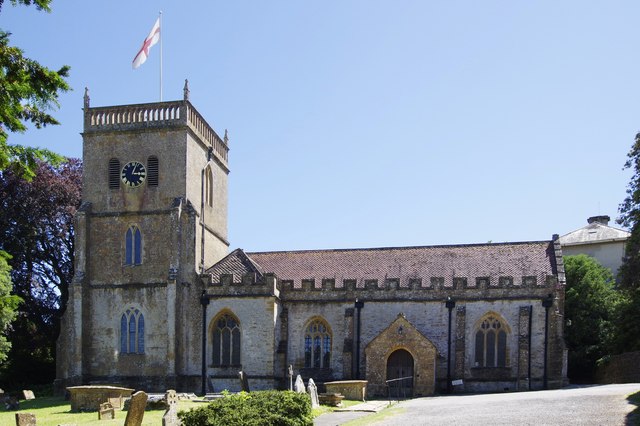
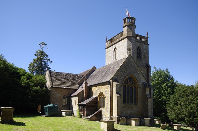
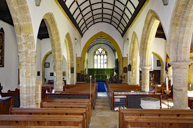
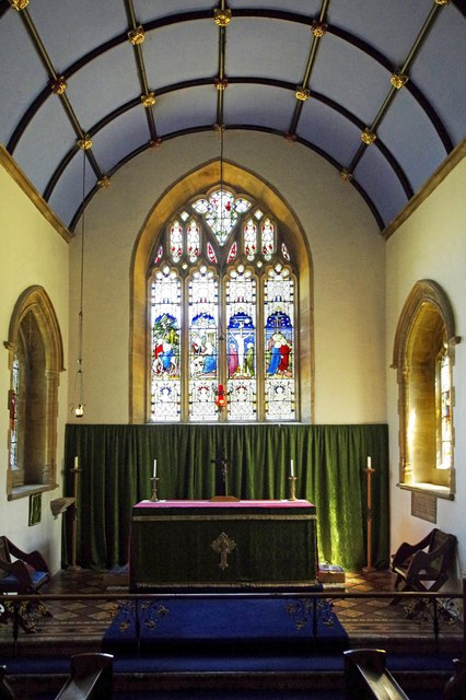
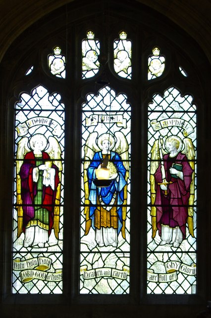
St Michael and All Angels' Church, East Coker

St Michael and All Angels’ Church is a Grade II* listed parish church in the Church of England in East Coker, Somerset. == History == The church dates...

Helyar Almshouses

The Helyar Almshouses were erected between 1640 and 1660 by William Helyar Archdeacon of Barnstable of Coker Court, East Coker, Somerset, England. The...
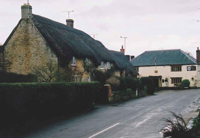
East Coker

East Coker is a village and civil parish in the South Somerset district of Somerset, England. Its nearest town is Yeovil, two miles (3.2 km) to the north...

Naish Priory

Naish Priory in East Coker, Somerset, England, contains portions of a substantial house dating from the mid 14th century to around 1400. Emery says the...

Hymerford House

Hymerford House (which has also been known as Grove Farm, Manor House and Bridge Farm) in East Coker, Somerset, England was built in the 15th century and...

Sutton Bingham Halt railway station

Sutton Bingham Halt railway station served the hamlet of Sutton Bingham, South Somerset, England, from 1860 to 1962 on the West of England line. ��2�...

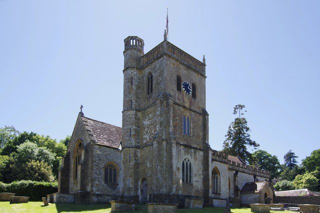
Church of All Saints, Sutton Bingham

The Church of All Saints in Sutton Bingham in the civil parish of Closworth, Somerset, England, dates from the 12th and 13th centuries and has been designated...

Nearby Amenities

Located within 500m of 50.90692,-2.6657417
Barrier: stile
Lat/Long: 50.9043771/-2.6643377
Barrier: stile
Lat/Long: 50.9093004/-2.6605868
Power: pole
Source: bing
Transformer: distribution
Lat/Long: 50.9096436/-2.6663759
Power: pole
Source: bing
Lat/Long: 50.9106143/-2.6656169
The data included in this document is from www.openstreetmap.org. The data is made available under ODbL.

Have you been to Springclose Plantation?

Leave your review of Springclose Plantation below (or comments, questions and feedback).