Coker Court Park
Downs, Moorland in Somerset South Somerset
England
Coker Court Park
Coker Court Park, located in Somerset, England, is a picturesque green space that encompasses a diverse range of landscapes, including Downs and Moorland. Spanning over a considerable area, the park offers visitors a serene and tranquil environment to relax and connect with nature.
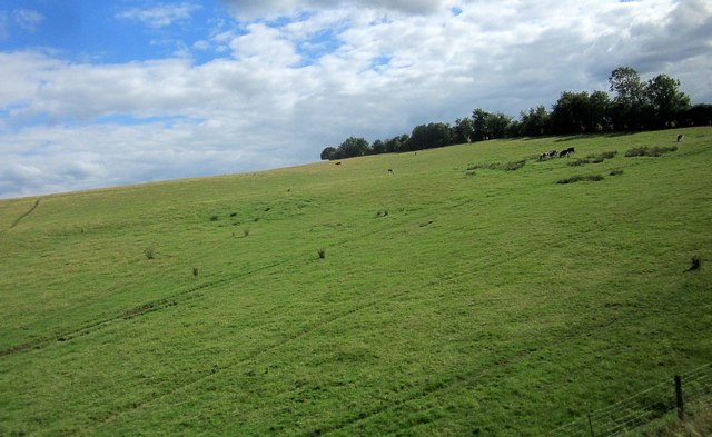
The park's Downs section showcases rolling hills adorned with lush grasses and scattered wildflowers. It provides ample space for recreational activities such as hiking, picnicking, and kite flying. The breathtaking views of the surrounding countryside from the Downs are a major attraction for both locals and tourists.
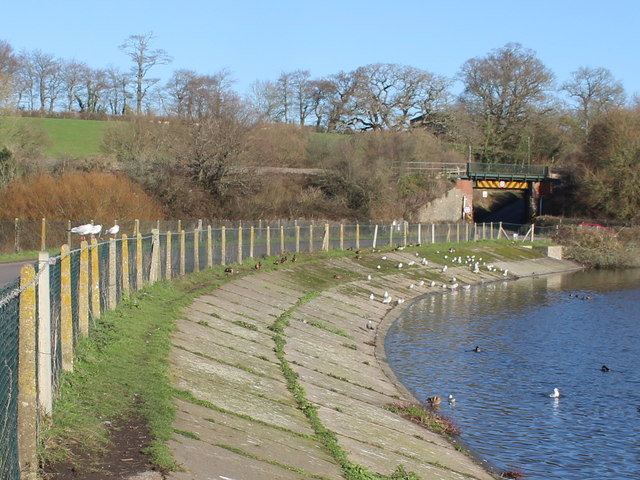
In contrast, the Moorland area of Coker Court Park offers a unique landscape characterized by expansive stretches of open space covered in heather, gorse, and bracken. This habitat is home to a variety of wildlife, including birds, insects, and small mammals. Birdwatchers are often drawn to the park to catch a glimpse of rare species such as the Dartford warbler and the stonechat.
Throughout the park, well-maintained walking trails wind their way through the different terrains, allowing visitors to explore the diverse habitats and enjoy the peaceful surroundings. There are also designated areas for horse riding and cycling, attracting enthusiasts of these activities.
Coker Court Park is equipped with amenities such as parking facilities, picnic areas, and public toilets to cater to the needs of visitors. It is a popular destination for families, nature lovers, and outdoor enthusiasts seeking a tranquil escape in the heart of Somerset's natural beauty.
If you have any feedback on the listing, please let us know in the comments section below.
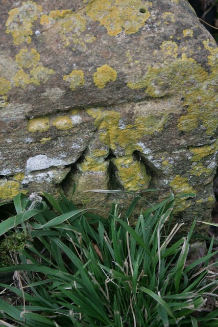
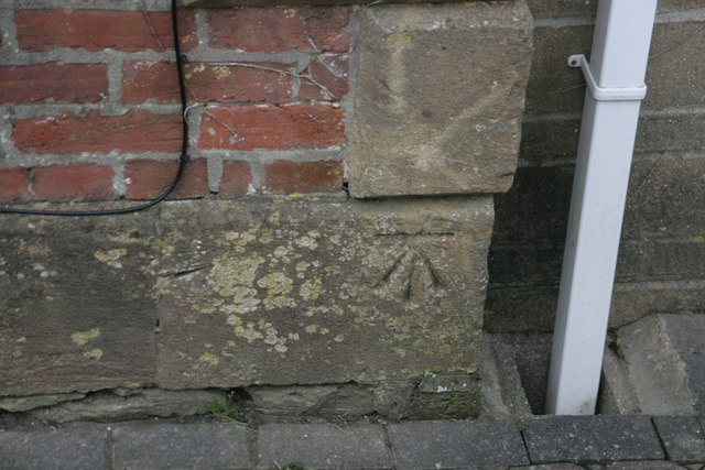
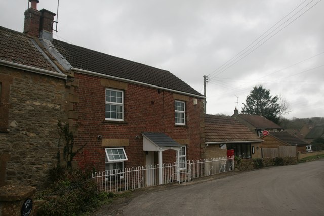
Coker Court Park Images
Images are sourced within 2km of 50.907799/-2.6613026 or Grid Reference ST5312. Thanks to Geograph Open Source API. All images are credited.
Coker Court Park is located at Grid Ref: ST5312 (Lat: 50.907799, Lng: -2.6613026)
Administrative County: Somerset
District: South Somerset
Police Authority: Avon and Somerset
What 3 Words
///loudly.roof.glassware. Near West Coker, Somerset
Nearby Locations
Related Wikis

Coker Court
Coker Court is a substantial manor house in East Coker, Somerset, England. It was built in the fifteenth and eighteenth centuries and has been designated...

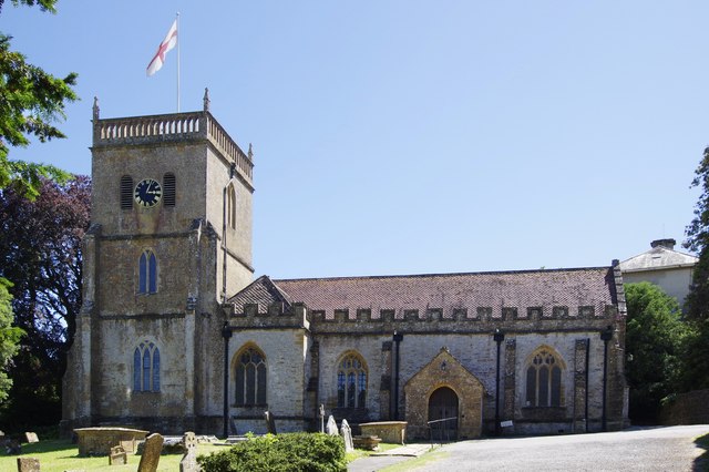
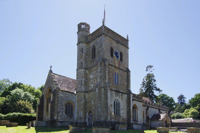
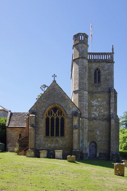
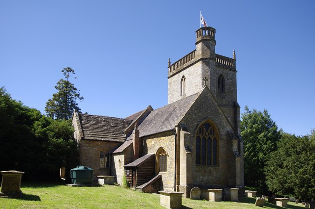
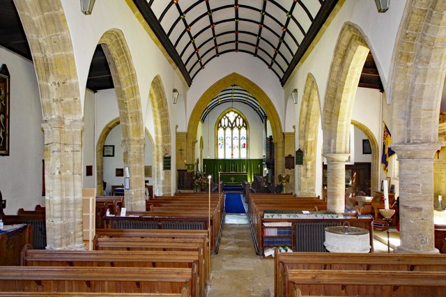
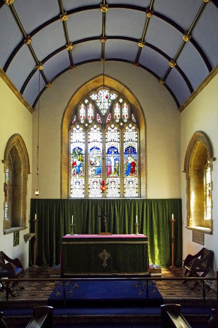
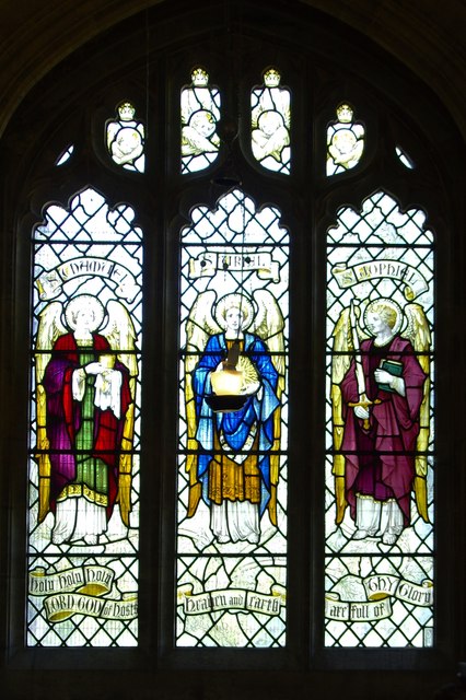
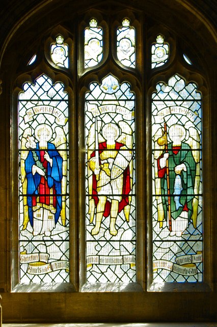
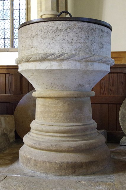
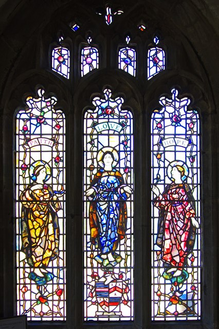
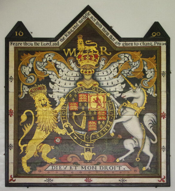
St Michael and All Angels' Church, East Coker
St Michael and All Angels’ Church is a Grade II* listed parish church in the Church of England in East Coker, Somerset. == History == The church dates...

Helyar Almshouses
The Helyar Almshouses were erected between 1640 and 1660 by William Helyar Archdeacon of Barnstable of Coker Court, East Coker, Somerset, England. The...

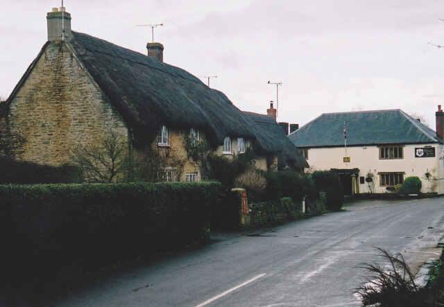
East Coker
East Coker is a village and civil parish in the South Somerset district of Somerset, England. Its nearest town is Yeovil, two miles (3.2 km) to the north...

Hymerford House
Hymerford House (which has also been known as Grove Farm, Manor House and Bridge Farm) in East Coker, Somerset, England was built in the 15th century and...

Naish Priory
Naish Priory in East Coker, Somerset, England, contains portions of a substantial house dating from the mid 14th century to around 1400. Emery says the...

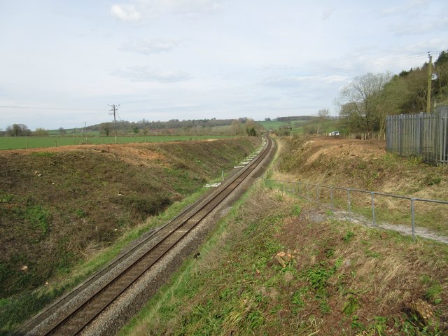
Sutton Bingham Halt railway station
Sutton Bingham Halt railway station served the hamlet of Sutton Bingham, South Somerset, England, from 1860 to 1962 on the West of England line. ��2�...

Sutton Bingham Reservoir
Sutton Bingham Reservoir is a reservoir near the village of Sutton Bingham in the civil parish of Closworth, Somerset, England. The reservoir was built...
Nearby Amenities
Located within 500m of 50.907799,-2.6613026Have you been to Coker Court Park?
Leave your review of Coker Court Park below (or comments, questions and feedback).