Lamb Pasture

Downs, Moorland in Westmorland South Lakeland

England

Lamb Pasture

Lay-by on the A6 Between Martclose Farm and Hollowgate Farm
Lay-by on the A6 Credit: Eirian Evans

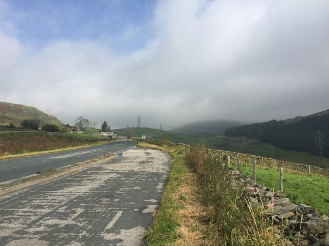
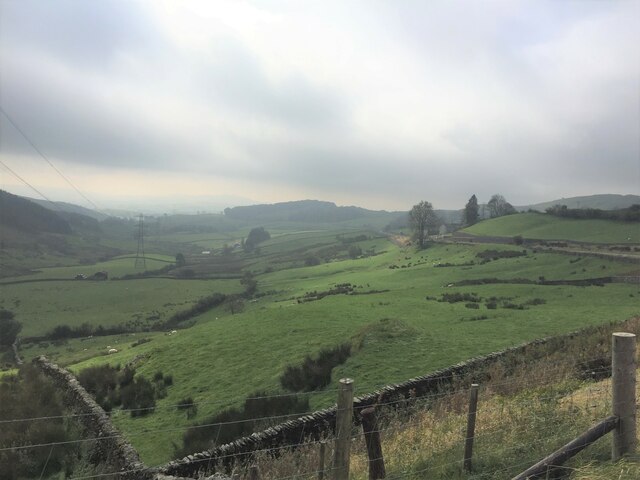
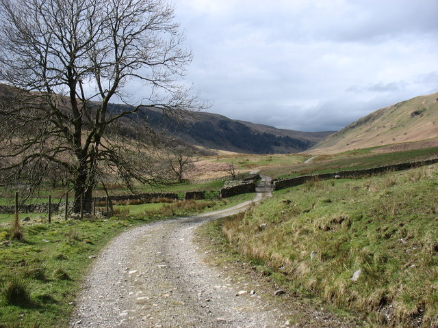
Lamb Pasture is a picturesque area located in the district of Westmorland, England. Nestled amidst the tranquil Downs and Moorland landscapes, this region offers visitors a serene and idyllic countryside experience.

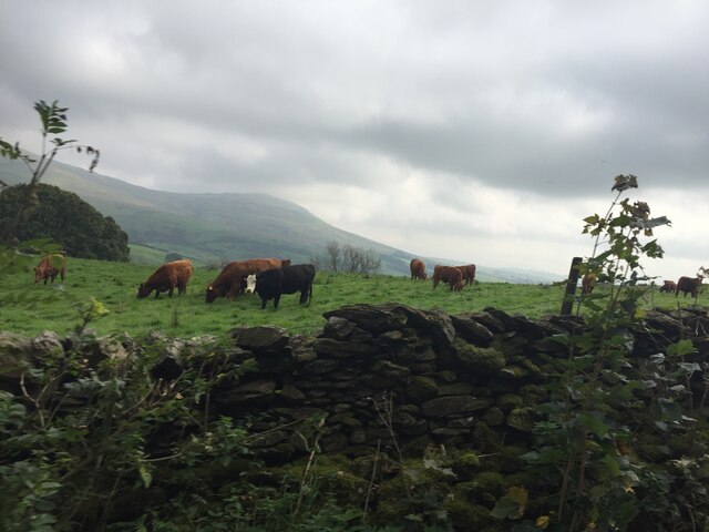
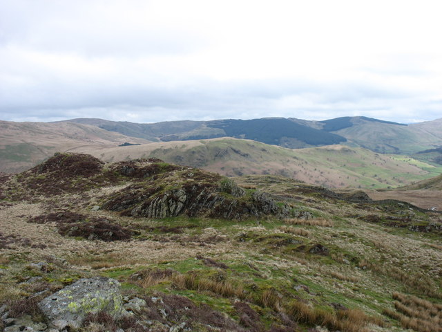
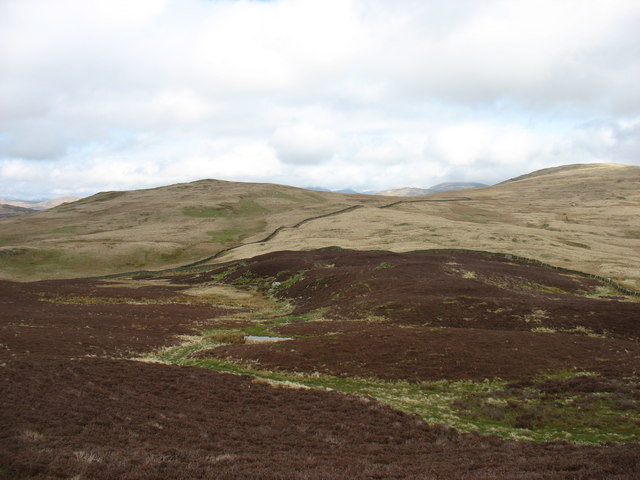
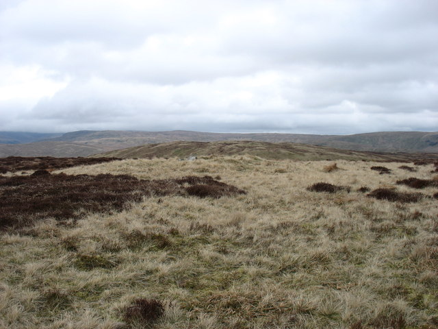
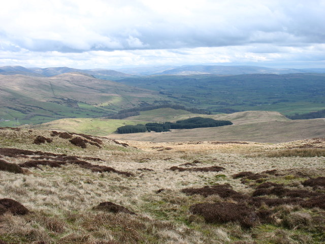
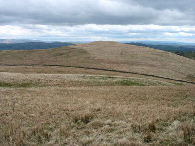
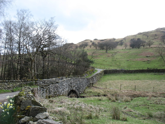
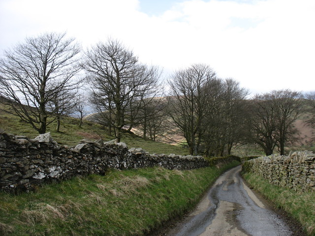
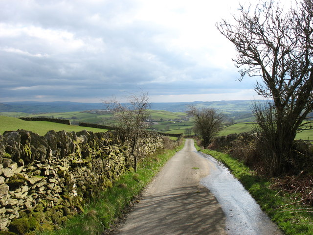
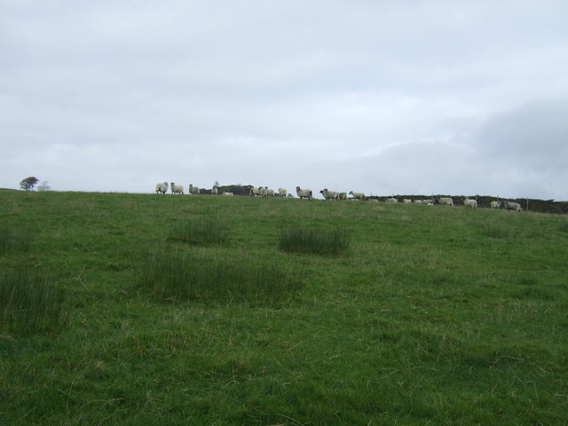
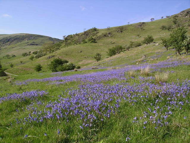
The area is renowned for its vast expanses of lush green pastures, dotted with grazing lambs and sheep. The rolling hills and gentle slopes create a mesmerizing panorama that stretches as far as the eye can see. The rich and fertile soil of Lamb Pasture ensures the growth of a diverse range of plant species, resulting in a vibrant and colorful landscape, particularly during the spring and summer months.

The region also boasts a rich wildlife population, with a variety of bird species, such as skylarks and meadow pipits, making their home in Lamb Pasture. The area is also home to various mammals, including rabbits and foxes, which can often be spotted darting across the fields.

Lamb Pasture is a popular destination for nature enthusiasts and outdoor lovers. Its extensive network of walking trails and bridleways offers visitors the opportunity to explore the area on foot or horseback. The peaceful and unspoiled surroundings make it an ideal location for a relaxing countryside retreat.

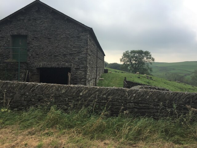
In addition to its natural beauty, Lamb Pasture also has historical significance. The region is dotted with ancient stone circles and burial mounds, providing a glimpse into its rich cultural heritage.

Overall, Lamb Pasture is a captivating destination that offers visitors an escape to a tranquil and unspoiled countryside, where they can immerse themselves in the beauty of nature and revel in the region's rich history.

If you have any feedback on the listing, please let us know in the comments section below.
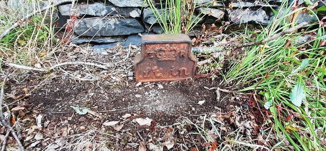
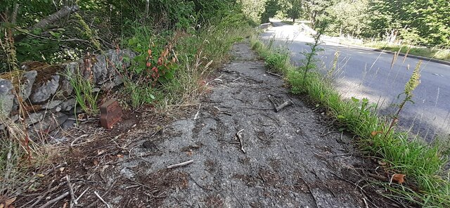
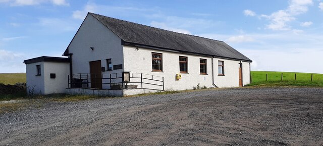
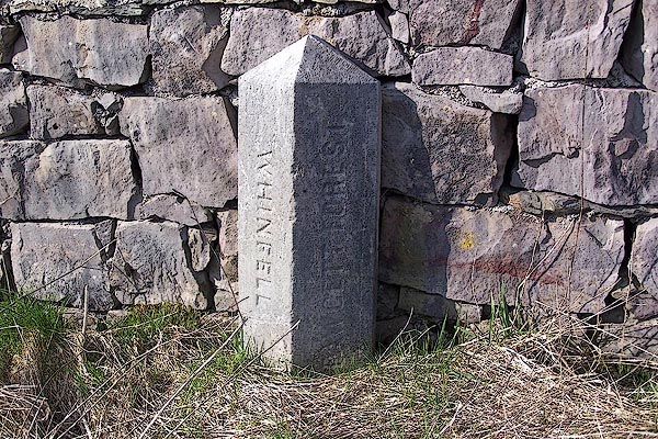
Lamb Pasture Images

Images are sourced within 2km of 54.412624/-2.7168123 or Grid Reference NY5302. Thanks to Geograph Open Source API. All images are credited.

Lay-by on the A6 Between Martclose Farm and Hollowgate Farm
Lay-by on the A6
Between Martclose Farm and Hollowgate Farm
Ashstead Beck valley Rough grazing up here
Ashstead Beck valley
Rough grazing up here
Stone barn at Forest Hall
Cattle grazing on rough pasture
Edward VII GPO Cable marker on NW side of A6 at Low Jock Scar See <span class="nowrap"><a title="https://gpo-markers.derektp.co.uk/detail?post=635" rel="nofollow ugc noopener" href="https://gpo-markers.derektp.co.uk/detail?post=635">Link</a><img style="margin-left:2px;" alt="External link" title="External link - shift click to open in new window" src="https://s1.geograph.org.uk/img/external.png" width="10" height="10"/></span>
Edward VII GPO Cable marker on NW side of A6 at Low Jock Scar
See LinkExternal link
Looking NE along A6 towards Bannisdale Low Bridge There is a GPO cable marker <a href="https://www.geograph.org.uk/photo/7234157">NY5401 : Edward VII GPO Cable marker on NW side of A6 at Low Jock Scar</a> against the wall at the left hand side of the road
Looking NE along A6 towards Bannisdale Low Bridge
There is a GPO cable marker NY5401 : Edward VII GPO Cable marker on NW side of A6 at Low Jock Scar against the wall at the left hand side of the road
Selside Memorial Hall on SE side of A6
Old Boundary Marker on the A6 Parish Boundary Marker against a drystone wall on the northwest side of the A6 south of Hucks Bridge. Fawcett Forest parish became part of Selside and Fawcett Forest parish in 2020. See also <span class="nowrap"><a title="http://www.geog.port.ac.uk/webmap/thelakes/photos/bnk42.jpg" rel="nofollow ugc noopener" href="http://www.geog.port.ac.uk/webmap/thelakes/photos/bnk42.jpg">Link</a><img style="margin-left:2px;" alt="External link" title="External link - shift click to open in new window" src="https://s1.geograph.org.uk/img/external.png" width="10" height="10"/></span>. In 2009 the stone was reported to have been knocked over in a collision, see <span class="nowrap"><a title="https://www.lakesguides.co.uk/html/lgaz/LK13914.htm" rel="nofollow ugc noopener" href="https://www.lakesguides.co.uk/html/lgaz/LK13914.htm">Link</a><img style="margin-left:2px;" alt="External link" title="External link - shift click to open in new window" src="https://s1.geograph.org.uk/img/external.png" width="10" height="10"/></span>.

Milestone Society National ID: WE_KDSP08pb
Old Boundary Marker on the A6
Parish Boundary Marker against a drystone wall on the northwest side of the A6 south of Hucks Bridge. Fawcett Forest parish became part of Selside and Fawcett Forest parish in 2020. See also LinkExternal link. In 2009 the stone was reported to have been knocked over in a collision, see LinkExternal link. Milestone Society National ID: WE_KDSP08pb
The view from Whiteside Pike Whiteside Pike is the first hill on the Bannisdale Horseshoe.
The view from Whiteside Pike
Whiteside Pike is the first hill on the Bannisdale Horseshoe.
Moorland below Whiteside Pike Looking towards Todd Fell (left) and Capplebarrow (right), the next hills on the Bannisdale Horseshoe.
Moorland below Whiteside Pike
Looking towards Todd Fell (left) and Capplebarrow (right), the next hills on the Bannisdale Horseshoe.
View from the summit of The Forest White Howe is in the middle distance. The Bannisdale Horseshoe crosses both these hills.
View from the summit of The Forest
White Howe is in the middle distance. The Bannisdale Horseshoe crosses both these hills.
South-eastern slopes of The Forest Ahead is the only steep slope on the Bannisdale Horseshoe. In descent I found this quite awkward.
South-eastern slopes of The Forest
Ahead is the only steep slope on the Bannisdale Horseshoe. In descent I found this quite awkward.
Lamb Pasture The final hill on the Bannisdale Horseshoe.
Lamb Pasture
The final hill on the Bannisdale Horseshoe.
The Bannisdale track Taken after descending from the Bannisdale Horseshoe.
The Bannisdale track
Taken after descending from the Bannisdale Horseshoe.
Dryhowe Bridge From here, there is just 2 kilometres of country lane to complete the Bannisdale Horseshoe.
Dryhowe Bridge
From here, there is just 2 kilometres of country lane to complete the Bannisdale Horseshoe.
The lane to Dryhowe At the end of the Bannisdale Horseshoe, one finishes with about 2 kilometres along this lane (but in the opposite direction). From Dryhowe Bridge there is a height gain of about 50 metres - not much, but unwelcome at the end of the day.
The lane to Dryhowe
At the end of the Bannisdale Horseshoe, one finishes with about 2 kilometres along this lane (but in the opposite direction). From Dryhowe Bridge there is a height gain of about 50 metres - not much, but unwelcome at the end of the day.
The lane from Dryhowe The end of the Bannisdale Horseshoe is now only a few minutes away.
The lane from Dryhowe
The end of the Bannisdale Horseshoe is now only a few minutes away.
Grazing off the A6 The A6 is one of the main historic north south roads in England. At 299 miles long it is the fourth longest road in the country. It currently runs from Luton in Bedfordshire to Carlisle in Cumbria, although it formerly started at a junction with the A1 at Barnet.
Wikipedia: <span class="nowrap"><a title="http://en.wikipedia.org/wiki/A6_road_(England)" rel="nofollow ugc noopener" href="http://en.wikipedia.org/wiki/A6_road_(England)">Link</a><img style="margin-left:2px;" alt="External link" title="External link - shift click to open in new window" src="https://s1.geograph.org.uk/img/external.png" width="10" height="10"/></span> 
See also <span class="nowrap"><a title="http://www.sabre-roads.org.uk/wiki/index.php?title=A6" rel="nofollow ugc noopener" href="http://www.sabre-roads.org.uk/wiki/index.php?title=A6">Link</a><img style="margin-left:2px;" alt="External link" title="External link - shift click to open in new window" src="https://s1.geograph.org.uk/img/external.png" width="10" height="10"/></span> for more route detail.
Grazing off the A6
The A6 is one of the main historic north south roads in England. At 299 miles long it is the fourth longest road in the country. It currently runs from Luton in Bedfordshire to Carlisle in Cumbria, although it formerly started at a junction with the A1 at Barnet. Wikipedia: LinkExternal link See also LinkExternal link for more route detail.
Show me another place!

Lamb Pasture is located at Grid Ref: NY5302 (Lat: 54.412624, Lng: -2.7168123)

Administrative County: Cumbria

District: South Lakeland

Police Authority: Cumbria

What 3 Words

///kennels.began.youths. Near Burneside, Cumbria

Nearby Locations

Lamb Pasture Lamb Pasture

Related Wikis

Lowbridge Estate

The Lowbridge Estate is a country estate of approximately 2000 acres in the Lake District region of England that was in the continuous ownership of the...

Bannisdale Horseshoe

The Bannisdale Horseshoe is an upland area in Cumbria, England, near the eastern boundary of the Lake District National Park, surrounding the valley of...

Fawcett Forest

Fawcett Forest is a former civil parish, now in the parish of Selside and Fawcett Forest, in the South Lakeland district of the English county of Cumbria...

River Sprint

The River Sprint is a river in Cumbria, England with its source high up on the south-facing side of Harter Fell. It flows into the River Kent just to...

Nearby Amenities

Located within 500m of 54.412624,-2.7168123
Lamb Pasture
Place: locality
Lat/Long: 54.412482/-2.7150402
Lamb Pasture
Ele: 367
Natural: peak
Lat/Long: 54.4121078/-2.7192289
The data included in this document is from www.openstreetmap.org. The data is made available under ODbL.

Have you been to Lamb Pasture?

Leave your review of Lamb Pasture below (or comments, questions and feedback).