Dodding Green
Wood, Forest in Westmorland South Lakeland
England
Dodding Green
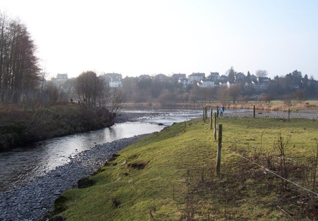
Dodding Green is a small village located in the picturesque region of Westmorland in Cumbria, England. Nestled amidst lush woodlands and sprawling forests, this charming village is a haven for nature enthusiasts and those seeking a tranquil escape.
Surrounded by the enchanting beauty of the Lake District National Park, Dodding Green offers breathtaking views of rolling hills, dense forests, and serene lakes. The village itself is characterized by its traditional stone cottages, which add to its quaint and timeless appeal.
Dodding Green is known for its diverse wildlife and is a popular destination for birdwatchers. The surrounding woodlands provide a habitat for a variety of bird species, including the elusive red kite and the majestic osprey. Nature lovers can also spot deer and other wildlife while exploring the numerous walking trails that wind through the forests.
The village is a haven for outdoor activities, with opportunities for hiking, mountain biking, and fishing. The nearby rivers and lakes offer excellent fishing spots, attracting anglers from far and wide. Additionally, the woodlands are home to several mountain biking trails, providing adrenaline-pumping experiences for thrill-seekers.
Despite its rural setting, Dodding Green is not far from amenities. The nearby town of Kendal offers a range of shops, restaurants, and cultural attractions, ensuring that residents and visitors have access to modern conveniences.
In summary, Dodding Green is a hidden gem in Westmorland, offering a delightful blend of natural beauty and outdoor activities. With its idyllic woodlands, captivating wildlife, and close proximity to amenities, Dodding Green is a destination that truly captures the essence of the English countryside.
If you have any feedback on the listing, please let us know in the comments section below.
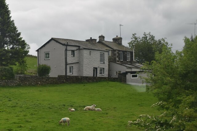
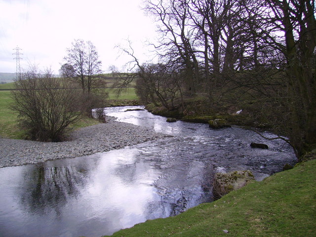
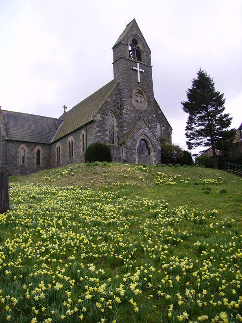
Dodding Green Images
Images are sourced within 2km of 54.351634/-2.7201656 or Grid Reference SD5395. Thanks to Geograph Open Source API. All images are credited.


Dodding Green is located at Grid Ref: SD5395 (Lat: 54.351634, Lng: -2.7201656)
Administrative County: Cumbria
District: South Lakeland
Police Authority: Cumbria
What 3 Words
///skylights.hippy.studs. Near Burneside, Cumbria
Nearby Locations
Related Wikis

Skelsmergh and Scalthwaiterigg
Skelsmergh and Scalthwaiterigg is a civil parish in South Lakeland district, Cumbria, England. It was formed on 1 April 2015 by merging the parishes of...
Skelsmergh
Skelsmergh is a small village and former civil parish, now in the parish of Skelsmergh and Scalthwaiterigg, in South Lakeland in rural Cumbria, England...
Scalthwaiterigg
Scalthwaiterigg is a former civil parish, now in the parish of Skelsmergh and Scalthwaiterigg, in the Westmorland and Furness district, in the ceremonial...
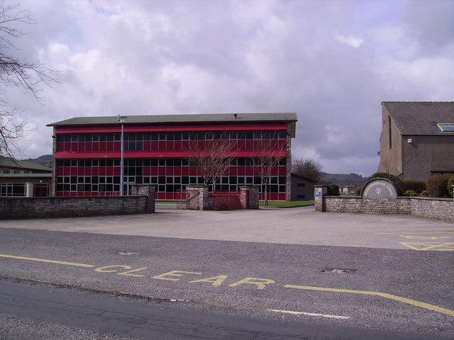
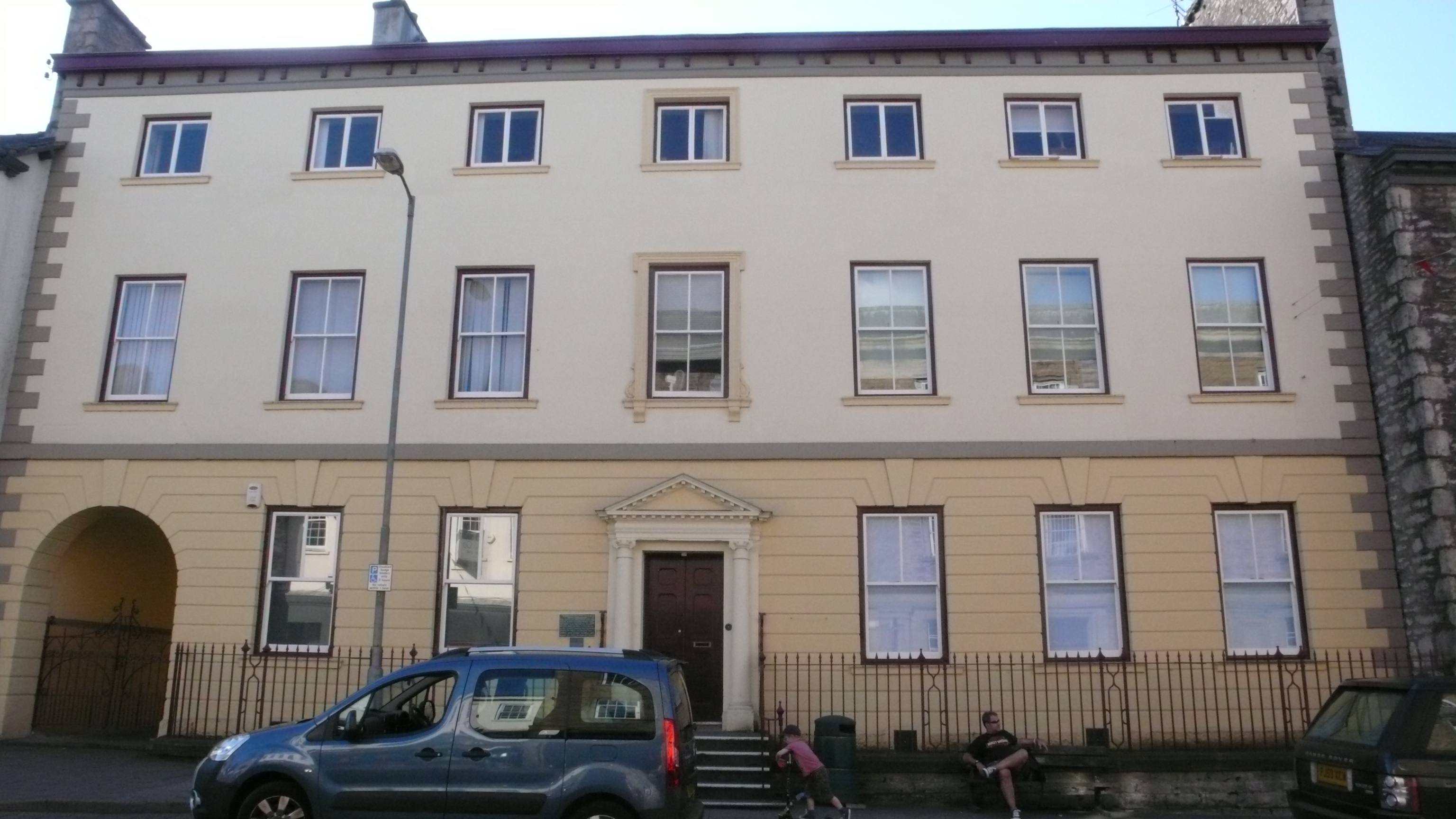
Queen Katherine School
The Queen Katherine School is an academy school located in Kendal, Cumbria, England. It is a co-educational facility for 11- to 18-year-olds and has around...
Kentrigg
Kentrigg is a northern suburb of Kendal, Cumbria, England. By road, Kentrigg is located 1.2 miles (1.9 km) north of the centre of Kendal and 1.4 miles...
River Mint
The River Mint is a river in Cumbria, England. The Mint starts life at Whelpside at the confluence of Bannisdale Beck, running south-east from Bannisdale...
South Westmorland Rural District
South Westmorland was a rural district in Westmorland, England from 1894 to 1974. It saw various boundary changes during its existence, particularly in...
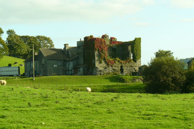
Burneside Hall
Burneside Hall is a converted medieval pele tower in Burneside, Cumbria, England. == History == Documentary records for Burneside Hall extend to 1290,...
Nearby Amenities
Located within 500m of 54.351634,-2.7201656Have you been to Dodding Green?
Leave your review of Dodding Green below (or comments, questions and feedback).