Combe Florey
Settlement in Somerset Somerset West and Taunton
England
Combe Florey
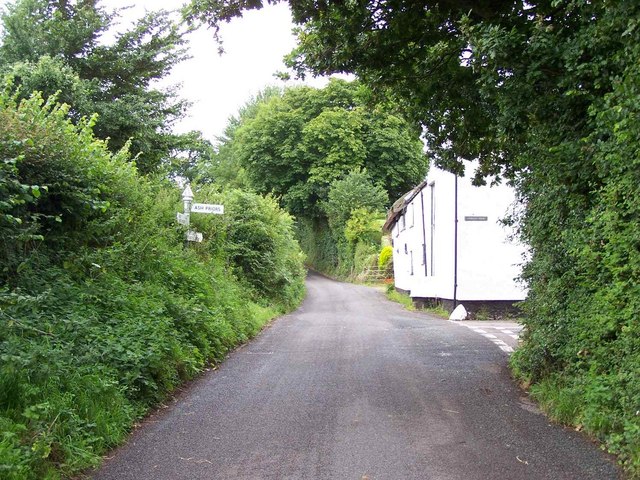
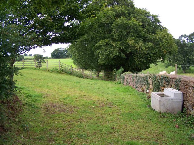
Combe Florey is a picturesque village located in the county of Somerset, England. Situated on the southern slopes of the Quantock Hills, it offers stunning views of the surrounding countryside. The village is part of the Taunton Deane district and is approximately 9 miles west of the town of Taunton.
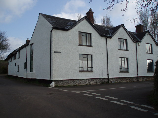
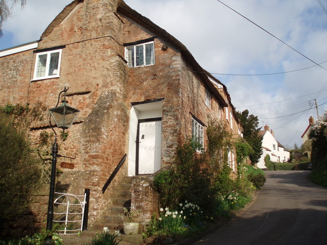
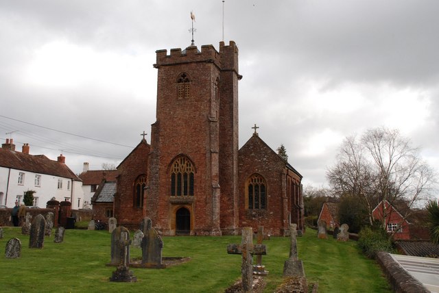
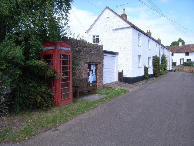
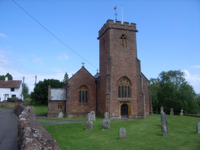
Known for its charming rural setting, Combe Florey is characterized by its quaint thatched cottages, historic buildings, and beautiful gardens. The village is also home to St. Peter's Church, a Grade I listed building that dates back to the 14th century. The church features a distinctive tower and is known for its architectural significance.
Despite its small size, Combe Florey has a strong sense of community. The village boasts a friendly and welcoming atmosphere, with various social events and activities taking place throughout the year. Residents can enjoy local amenities such as a village hall, a playground, and a cricket pitch.
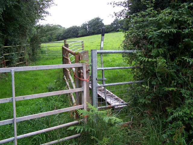
The surrounding area offers plenty of opportunities for outdoor activities, with the Quantock Hills providing an ideal setting for hiking, cycling, and horseback riding. The nearby Quantock Common is a designated Site of Special Scientific Interest, known for its diverse wildlife and rare plant species.
Combe Florey's location also allows for convenient access to nearby towns and cities. Taunton, the county town of Somerset, offers a range of shopping, dining, and entertainment options, while the coastal town of Minehead is just a short drive away.
In summary, Combe Florey is a delightful village nestled in the Somerset countryside, offering a tranquil and idyllic setting for residents and visitors alike.
If you have any feedback on the listing, please let us know in the comments section below.
Combe Florey Images
Images are sourced within 2km of 51.073061/-3.21539 or Grid Reference ST1431. Thanks to Geograph Open Source API. All images are credited.


Combe Florey is located at Grid Ref: ST1431 (Lat: 51.073061, Lng: -3.21539)
Administrative County: Somerset
District: Somerset West and Taunton
Police Authority: Avon and Somerset
What 3 Words
///irony.ponies.scrolled. Near Bishops Lydeard, Somerset
Nearby Locations
Related Wikis

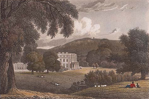
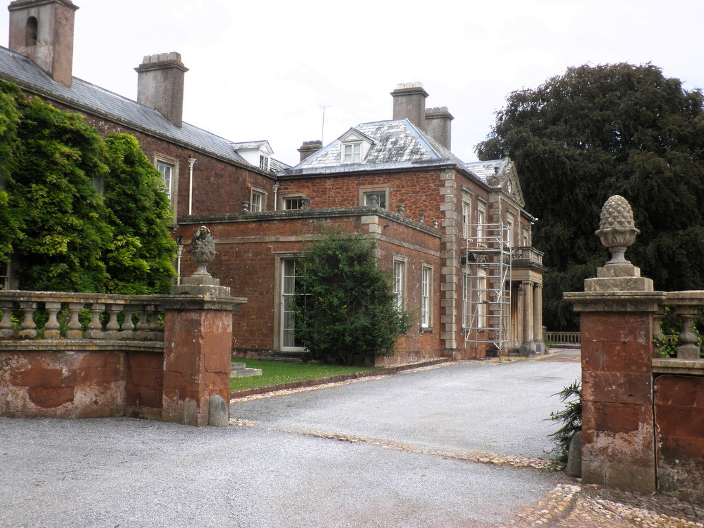
Combe Florey House
Combe Florey House in Combe Florey, Somerset, England is a country house dating from the early 18th century. It replaced an Elizabethan manor house which...

Combe Florey
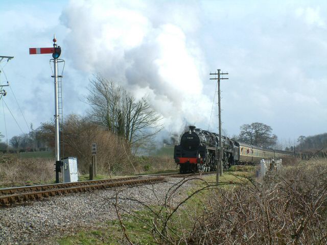
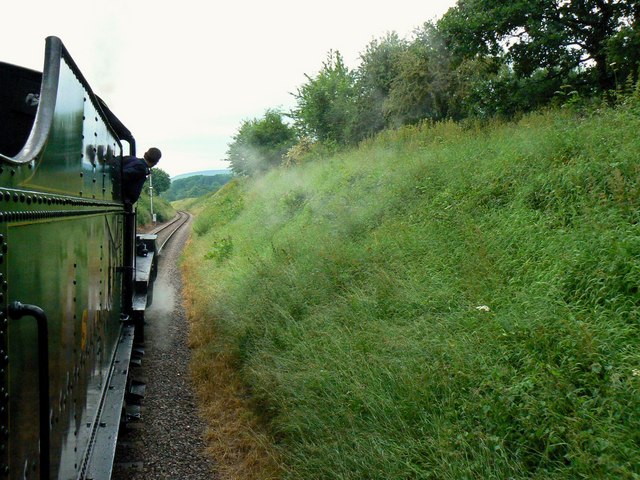
Combe Florey is a village and civil parish in Somerset, England, situated 6 miles (9.7 km) northwest of Taunton, on the West Somerset Railway. The village...
Sandhill Park
Sandhill Park in the parish of Bishops Lydeard, Somerset, England is a derelict country house built in about 1720. It was used in the 20th century as a...

Church of the Holy Trinity, Ash Priors
The Church of the Holy Trinity in Ash Priors, Somerset, England was built in the 15th century. It is a Grade II* listed building. == History == In the...
Ash Priors
Ash Priors is a village and parish in Somerset, England, situated 5 miles (8.0 km) north west of Taunton. The village has a population of 155. == History... ==
Lydeard House
Lydeard House in Bishops Lydeard, Somerset, England was built in the mid 18th century. It is a Grade II* listed building. == History == Lydeard House was...
Cockercombe tuff
Cockercombe Tuff is a greenish-grey, hard pyroclastic rock, formed by the compression of volcanic ash containing high quantities of chlorite, which gives...

Cockercombe
Cockercombe is a hamlet within the civil parish of West Bagborough in the Somerset West and Taunton district of Somerset, England, approximately 8.3 miles...
Nearby Amenities
Located within 500m of 51.073061,-3.21539Have you been to Combe Florey?
Leave your review of Combe Florey below (or comments, questions and feedback).