Backside Wood
Wood, Forest in Somerset Somerset West and Taunton
England
Backside Wood
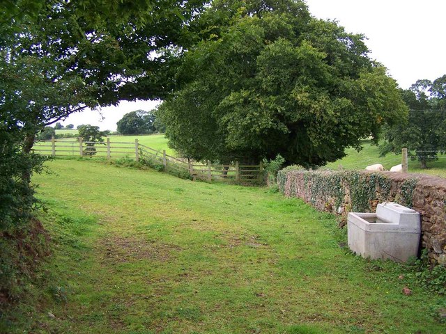
Backside Wood is a picturesque woodland located in Somerset, England. Covering an area of approximately 30 acres, it is nestled in the heart of the countryside, offering visitors a tranquil and natural environment to explore.
The wood is predominantly made up of native broadleaf trees, including oak, beech, and ash, which create a dense canopy that provides shade and shelter for a variety of wildlife. Walking through Backside Wood, visitors can enjoy the sights and sounds of birdsong, as well as the occasional sighting of small mammals such as squirrels and rabbits.
The woodland floor is covered with a rich carpet of wildflowers and ferns, adding bursts of color and texture to the landscape. During the spring and summer months, the wood comes alive with vibrant blooms, including bluebells and primroses. This attracts a diverse range of insects, including butterflies and bees, which play an essential role in pollination.
A network of well-maintained footpaths and trails wind through Backside Wood, allowing visitors to explore the area at their own pace. These paths are suitable for walkers of all abilities and are often used by local residents for leisurely strolls or dog walking.
Backside Wood is managed by a local conservation group, who work tirelessly to protect and preserve the natural habitat. They also organize educational activities and events, providing opportunities for visitors to learn about the importance of woodland conservation and biodiversity.
Overall, Backside Wood offers a peaceful retreat from the hustle and bustle of everyday life, providing a haven for both nature enthusiasts and those seeking a moment of tranquility in the great outdoors.
If you have any feedback on the listing, please let us know in the comments section below.
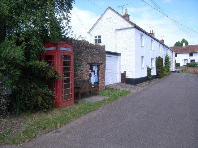
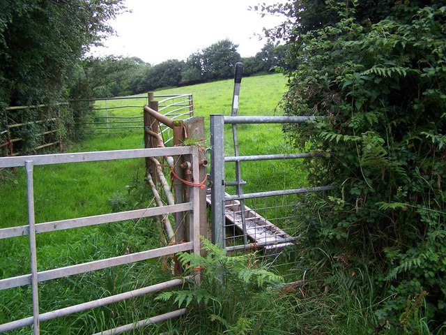
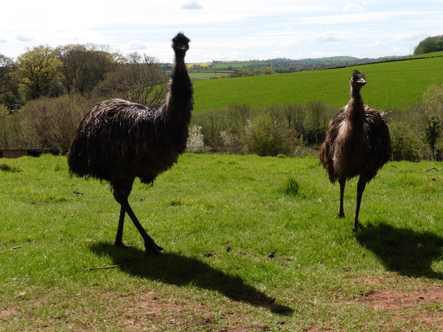
Backside Wood Images
Images are sourced within 2km of 51.075931/-3.2154778 or Grid Reference ST1431. Thanks to Geograph Open Source API. All images are credited.


Backside Wood is located at Grid Ref: ST1431 (Lat: 51.075931, Lng: -3.2154778)
Administrative County: Somerset
District: Somerset West and Taunton
Police Authority: Avon and Somerset
What 3 Words
///totally.beyond.mallets. Near Bishops Lydeard, Somerset
Nearby Locations
Related Wikis

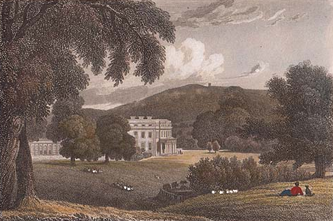
Combe Florey House
Combe Florey House in Combe Florey, Somerset, England is a country house dating from the early 18th century. It replaced an Elizabethan manor house which...

Combe Florey
Combe Florey is a village and civil parish in Somerset, England, situated 6 miles (9.7 km) northwest of Taunton, on the West Somerset Railway. The village...
Sandhill Park
Sandhill Park in the parish of Bishops Lydeard, Somerset, England is a derelict country house built in about 1720. It was used in the 20th century as a...
Cockercombe tuff
Cockercombe Tuff is a greenish-grey, hard pyroclastic rock, formed by the compression of volcanic ash containing high quantities of chlorite, which gives...

Cockercombe
Cockercombe is a hamlet within the civil parish of West Bagborough in the Somerset West and Taunton district of Somerset, England, approximately 8.3 miles...

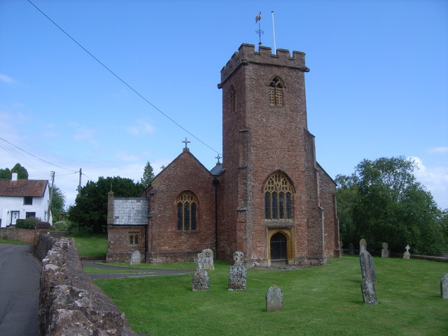
Church of the Holy Trinity, Ash Priors
The Church of the Holy Trinity in Ash Priors, Somerset, England was built in the 15th century. It is a Grade II* listed building. == History == In the...
Ash Priors
Ash Priors is a village and parish in Somerset, England, situated 5 miles (8.0 km) north west of Taunton. The village has a population of 155. == History... ==
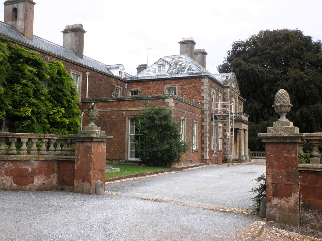
Lydeard House
Lydeard House in Bishops Lydeard, Somerset, England was built in the mid 18th century. It is a Grade II* listed building. == History == Lydeard House was...
Nearby Amenities
Located within 500m of 51.075931,-3.2154778Have you been to Backside Wood?
Leave your review of Backside Wood below (or comments, questions and feedback).