Colyton
Settlement in Devon East Devon
England
Colyton
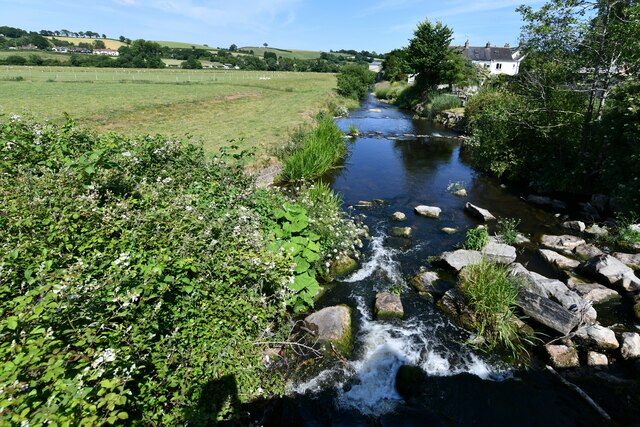
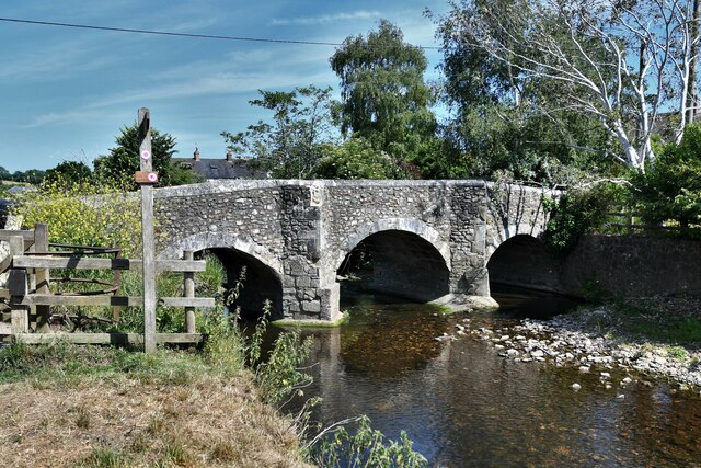
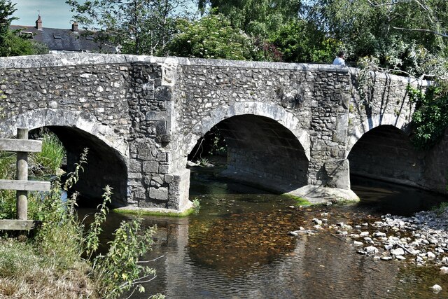
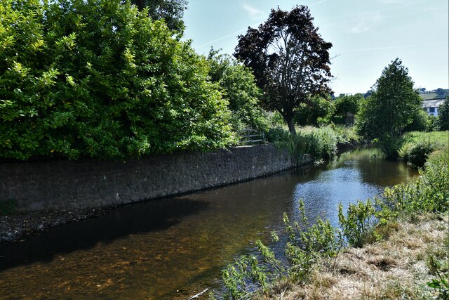
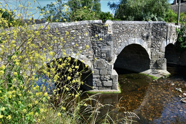
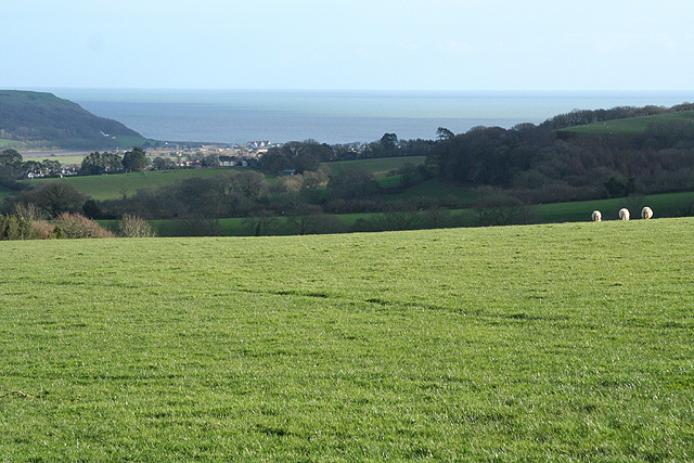
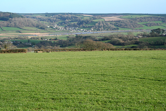
Colyton is a picturesque small town located in the East Devon district of Devon, England. Situated on the banks of the River Coly, it is nestled within the stunning countryside of the Axe Valley. With a population of around 2,000 residents, Colyton offers a peaceful and close-knit community atmosphere.
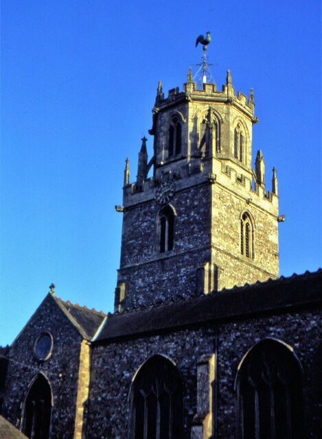
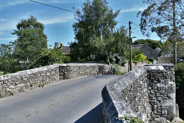
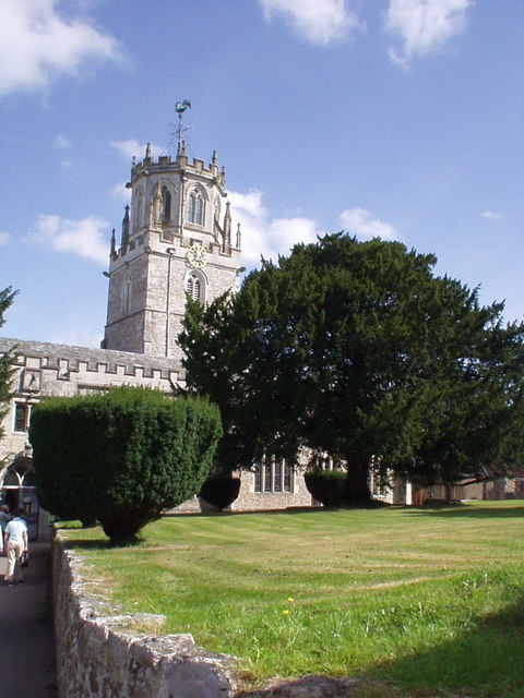
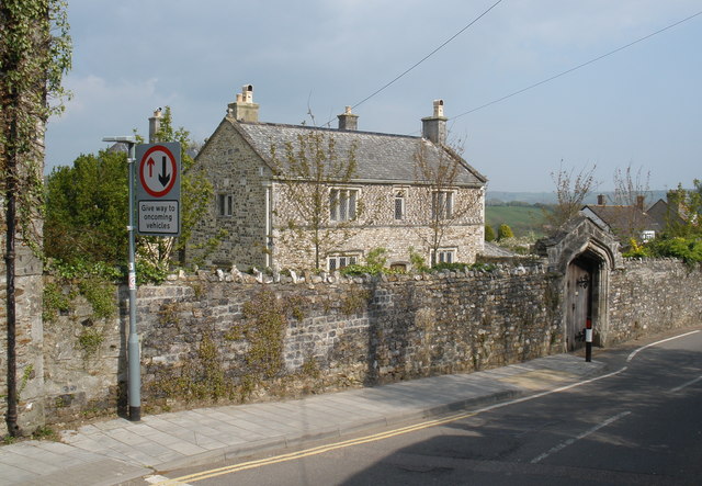
The town boasts a rich historical heritage, dating back to medieval times. Its narrow streets are lined with charming thatched cottages, elegant Georgian houses, and many other architectural gems. Colyton Parish Church, with its 15th-century tower and beautiful stained glass windows, is a prominent landmark that showcases the town's historical significance.
Colyton is known for its vibrant local scene, with a range of independent shops, cafes, and traditional pubs that cater to both locals and tourists. The town also hosts a popular weekly market, where visitors can find fresh local produce, arts and crafts, and other unique items.
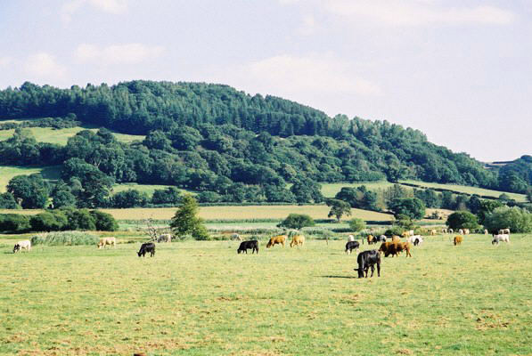
Nature enthusiasts will find plenty to explore in Colyton. The surrounding countryside offers scenic walking trails, including the famous East Devon Way, which passes through the town. The nearby Colyton Countryside Park provides a haven for wildlife and offers opportunities for leisure activities such as birdwatching and picnicking.
In addition, Colyton is well-connected to other towns and attractions in Devon. It is within easy reach of the Jurassic Coast, a UNESCO World Heritage Site renowned for its stunning cliffs and fossil-rich beaches. The town is also well-served by public transportation, with regular bus services connecting it to nearby towns and the vibrant city of Exeter.
Overall, Colyton is a charming and idyllic destination that combines history, natural beauty, and a warm community spirit, making it a delightful place to visit or call home.
If you have any feedback on the listing, please let us know in the comments section below.
Colyton Images
Images are sourced within 2km of 50.741012/-3.070629 or Grid Reference SY2494. Thanks to Geograph Open Source API. All images are credited.
Colyton is located at Grid Ref: SY2494 (Lat: 50.741012, Lng: -3.070629)
Administrative County: Devon
District: East Devon
Police Authority: Devon and Cornwall
What 3 Words
///overdrive.flame.albatross. Near Colyton, Devon
Nearby Locations
Related Wikis
Great House, Colyton
Great House on South Street in the town of Colyton, Devon, is the remnant of an historic Elizabethan mansion house built by the Yonge family, originally...

Colyton, Devon
Colyton is a town in Devon, England. It is located within the East Devon local authority area, the river River Coly runs through it. It is 3 miles (5 km...

Umborne Brook
Umbourne Brook is a watercourse in Devon, England. In rises south-east of Upottery and runs past the villages of Widworthy and Wilmington then joins the...
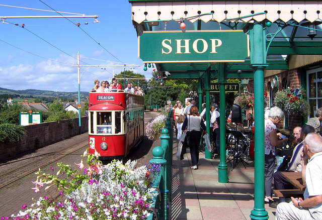
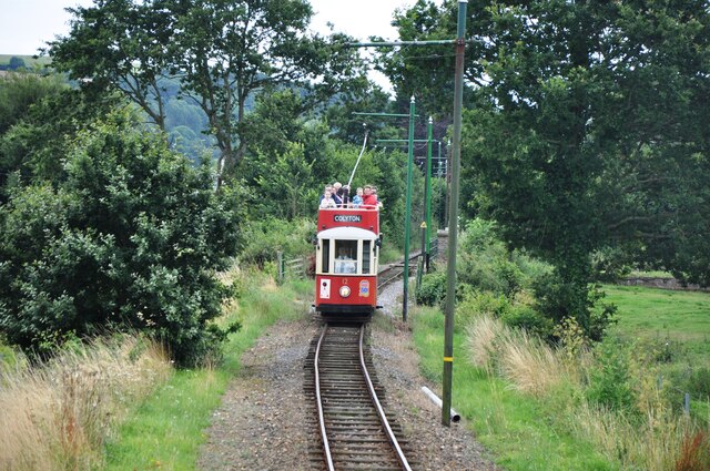
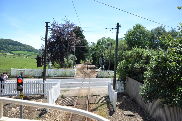
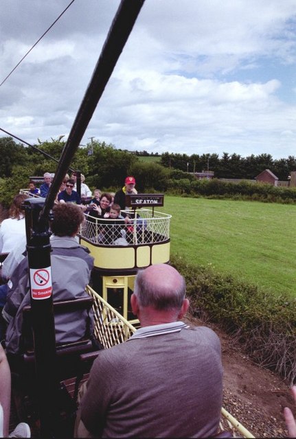
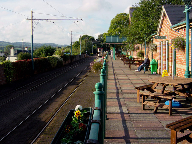
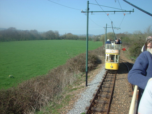
Colyton railway station
Colyton railway station, and its successor the Colyton tram stop, serve the town of Colyton in Devon, England. It was open as a railway station, on the...

Colcombe Castle
Colcombe Castle was a castle or fortified house situated about a 0.5 mi (0.80 km) north of the town of Colyton in East Devon. It was a seat of the Courtenay...

Colyton Grammar School
Colyton Grammar School (CGS) is a co-educational grammar school (and Academy) located in the village of Colyford in East Devon, England, that caters for...

Colyford railway station
Colyford railway station, and its successor the Colyford tram stop, serve the village of Colyford in Devon, England. It was open as a railway station,...

Colyford
Colyford is a village and civil parish in the East Devon district, in the county of Devon, England. It is situated midway between Lyme Regis and Sidmouth...
Nearby Amenities
Located within 500m of 50.741012,-3.070629Have you been to Colyton?
Leave your review of Colyton below (or comments, questions and feedback).